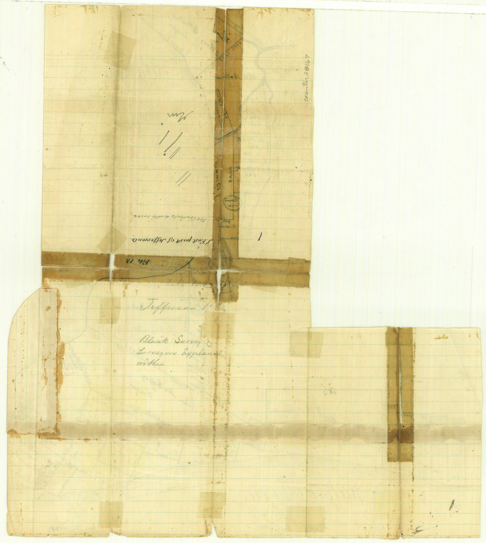
Jefferson County Sketch File 18
[Sketch around Sabine Lake Pass and Gulf, in southeast part of county]
-
Map/Doc
28167
-
Collection
General Map Collection
-
Counties
Jefferson
-
Subjects
Surveying Sketch File
-
Height x Width
15.7 x 14.0 inches
39.9 x 35.6 cm
-
Medium
paper, manuscript
-
Features
Sabine Lake
Salt Bayou
Alligator Bayou
Taylor's Bayou
Marsh Island Lake
Sabine Pass
Gulf of Mexico
Part of: General Map Collection
Montgomery County Working Sketch 29

Print $20.00
- Digital $50.00
Montgomery County Working Sketch 29
1942
Size 32.3 x 33.9 inches
Map/Doc 71136
Bell County Sketch File 8

Print $4.00
- Digital $50.00
Bell County Sketch File 8
1852
Size 14.2 x 8.9 inches
Map/Doc 14377
Dallam County Sketch File 14

Print $4.00
- Digital $50.00
Dallam County Sketch File 14
1949
Size 11.3 x 8.8 inches
Map/Doc 20379
Flight Mission No. BQR-12K, Frame 48, Brazoria County

Print $20.00
- Digital $50.00
Flight Mission No. BQR-12K, Frame 48, Brazoria County
1952
Size 19.0 x 22.7 inches
Map/Doc 84063
Flight Mission No. BRA-7M, Frame 30, Jefferson County

Print $20.00
- Digital $50.00
Flight Mission No. BRA-7M, Frame 30, Jefferson County
1953
Size 18.6 x 22.3 inches
Map/Doc 85481
Flight Mission No. DIX-7P, Frame 91, Aransas County

Print $20.00
- Digital $50.00
Flight Mission No. DIX-7P, Frame 91, Aransas County
1956
Size 18.7 x 22.4 inches
Map/Doc 83885

Calcasieu Pass to Sabine Pass

Print $20.00
- Digital $50.00
Calcasieu Pass to Sabine Pass
1972
Size 44.9 x 35.8 inches
Map/Doc 69811


Morris County Rolled Sketch 2A

Print $20.00
- Digital $50.00
Morris County Rolled Sketch 2A
Size 22.5 x 17.6 inches
Map/Doc 10230
Sutton County Working Sketch 11

Print $40.00
- Digital $50.00
Sutton County Working Sketch 11
1972
Size 76.8 x 45.5 inches
Map/Doc 62354
You may also like
Frio County Sketch File 1

Print $8.00
- Digital $50.00
Frio County Sketch File 1
1848
Size 8.6 x 7.7 inches
Map/Doc 23101
Working Sketch in Archer County

Print $20.00
- Digital $50.00
Working Sketch in Archer County
1921
Size 15.9 x 19.8 inches
Map/Doc 90169
[Nathaniel H. Cochran Survey and Vicinity]
![91495, [Nathaniel H. Cochran Survey and Vicinity], Twichell Survey Records](https://historictexasmaps.com/wmedia_w700/maps/91495-1.tif.jpg)
Print $20.00
- Digital $50.00
[Nathaniel H. Cochran Survey and Vicinity]
Size 26.4 x 19.0 inches
Map/Doc 91495
Brazoria County Sketch File 11

Print $4.00
- Digital $50.00
Brazoria County Sketch File 11
Size 10.5 x 8.5 inches
Map/Doc 14965
Lavaca County Rolled Sketch 8

Print $40.00
- Digital $50.00
Lavaca County Rolled Sketch 8
1982
Size 36.5 x 65.6 inches
Map/Doc 10289
Hemphill County Boundary File 4

Print $58.00
- Digital $50.00
Hemphill County Boundary File 4
Size 10.0 x 41.1 inches
Map/Doc 54639
[I. & G. N. RR. Co. Block I]
![89828, [I. &G. N. RR. Co. Block I], Twichell Survey Records](https://historictexasmaps.com/wmedia_w700/maps/89828-1.tif.jpg)
Print $20.00
- Digital $50.00
[I. & G. N. RR. Co. Block I]
Size 43.0 x 31.7 inches
Map/Doc 89828
Guadalupe County Working Sketch 4

Print $20.00
- Digital $50.00
Guadalupe County Working Sketch 4
1939
Size 17.7 x 10.8 inches
Map/Doc 63313

Brazoria County Sketch File 36

Print $40.00
- Digital $50.00
Brazoria County Sketch File 36
1933
Size 34.6 x 45.6 inches
Map/Doc 10325
Briscoe County Rolled Sketch 20

Print $20.00
- Digital $50.00
Briscoe County Rolled Sketch 20
1949
Size 37.4 x 21.7 inches
Map/Doc 5334
Hood County Working Sketch Graphic Index

Print $20.00
- Digital $50.00
Hood County Working Sketch Graphic Index
1941
Size 35.9 x 31.8 inches
Map/Doc 76580