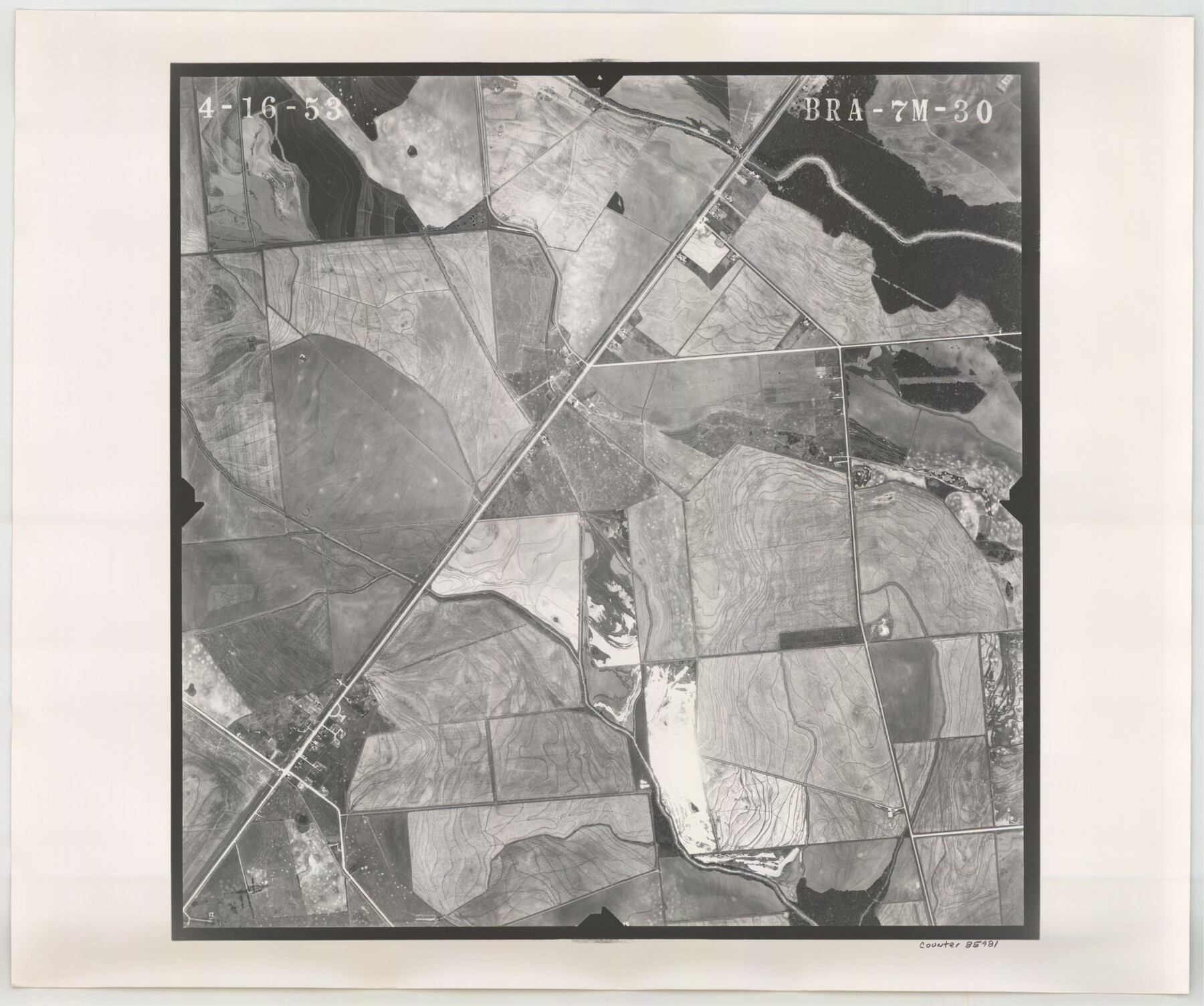
Flight Mission No. BRA-7M, Frame 30, Jefferson County
BRA-7M-30
-
Map/Doc
85481
-
Collection
General Map Collection
-
Object Dates
1953/4/16 (Creation Date)
-
People and Organizations
U. S. Department of Agriculture (Publisher)
-
Counties
Jefferson
-
Subjects
Aerial Photograph
-
Height x Width
18.6 x 22.3 inches
47.2 x 56.6 cm
-
Comments
Flown by Jack Ammann Photogrammetric Engineers of San Antonio, Texas.
Part of: General Map Collection
Flight Mission No. BRA-7M, Frame 13, Jefferson County

Print $20.00
- Digital $50.00
Flight Mission No. BRA-7M, Frame 13, Jefferson County
1953
Size 18.6 x 22.4 inches
Map/Doc 85464
Padre Island National Seashore, Texas - Dependent Resurvey

Print $4.00
- Digital $50.00
Padre Island National Seashore, Texas - Dependent Resurvey
2001
Size 18.2 x 24.3 inches
Map/Doc 60548

Palo Pinto County

Print $20.00
- Digital $50.00
Palo Pinto County
1898
Size 44.8 x 38.0 inches
Map/Doc 66964
Flight Mission No. BRE-1P, Frame 151, Nueces County

Print $20.00
- Digital $50.00
Flight Mission No. BRE-1P, Frame 151, Nueces County
1956
Size 18.7 x 22.5 inches
Map/Doc 86711
Collin County Sketch File 12

Print $40.00
- Digital $50.00
Collin County Sketch File 12
1851
Size 24.3 x 31.3 inches
Map/Doc 11127
Flight Mission No. DIX-10P, Frame 166, Aransas County

Print $20.00
- Digital $50.00
Flight Mission No. DIX-10P, Frame 166, Aransas County
1956
Size 18.5 x 22.2 inches
Map/Doc 83956
Blanco County Working Sketch 20

Print $20.00
- Digital $50.00
Blanco County Working Sketch 20
1960
Size 27.3 x 36.4 inches
Map/Doc 67380
Glasscock County Sketch File 18

Print $8.00
- Digital $50.00
Glasscock County Sketch File 18
1931
Size 9.7 x 6.2 inches
Map/Doc 24192
San Patricio County Working Sketch 16

Print $20.00
- Digital $50.00
San Patricio County Working Sketch 16
1952
Size 41.6 x 32.1 inches
Map/Doc 63778
Hamilton County

Print $20.00
- Digital $50.00
Hamilton County
1916
Size 41.4 x 40.5 inches
Map/Doc 66851
Terrell County Working Sketch 52

Print $40.00
- Digital $50.00
Terrell County Working Sketch 52
1958
Size 49.2 x 42.5 inches
Map/Doc 62145
You may also like
South Sulphur River, Charleston Sheet

Print $20.00
- Digital $50.00
South Sulphur River, Charleston Sheet
1924
Size 16.6 x 18.0 inches
Map/Doc 78326
Harris County Sketch File 91

Print $141.00
- Digital $50.00
Harris County Sketch File 91
1980
Size 11.3 x 8.9 inches
Map/Doc 25600
Sabine Pass and Lake

Print $20.00
- Digital $50.00
Sabine Pass and Lake
1958
Size 47.1 x 27.5 inches
Map/Doc 69823
Hale County Sketch File 5-5a

Print $30.00
- Digital $50.00
Hale County Sketch File 5-5a
1891
Size 17.7 x 38.3 inches
Map/Doc 10467
[Blocks 341, G-5, G-12, TCRRCo.]
![60298, [Blocks 341, G-5, G-12, TCRRCo.], General Map Collection](https://historictexasmaps.com/wmedia_w700/maps/60298-1.tif.jpg)
Print $20.00
- Digital $50.00
[Blocks 341, G-5, G-12, TCRRCo.]
1954
Size 15.1 x 26.1 inches
Map/Doc 60298
Supreme Court of the United States, October Term, 1923, No. 15, Original - The State of Oklahoma, Complainant vs. The State of Texas, Defendant, The United States, Intervener; Report of the Boundary Commissioners

Print $20.00
- Digital $50.00
Supreme Court of the United States, October Term, 1923, No. 15, Original - The State of Oklahoma, Complainant vs. The State of Texas, Defendant, The United States, Intervener; Report of the Boundary Commissioners
1923
Size 35.1 x 41.1 inches
Map/Doc 82996
Cherokee County Working Sketch 10

Print $40.00
- Digital $50.00
Cherokee County Working Sketch 10
1957
Size 58.1 x 43.2 inches
Map/Doc 67965
P. W. Walker Seed and Grain Co. Littlefield, Texas

Print $20.00
- Digital $50.00
P. W. Walker Seed and Grain Co. Littlefield, Texas
1950
Size 36.9 x 15.8 inches
Map/Doc 92404
Dallam County

Print $20.00
- Digital $50.00
Dallam County
1901
Size 43.8 x 29.3 inches
Map/Doc 93458
Map of Williamson County

Print $20.00
- Digital $50.00
Map of Williamson County
1863
Size 22.7 x 29.7 inches
Map/Doc 4150
Maps of Gulf Intracoastal Waterway, Texas - Sabine River to the Rio Grande and connecting waterways including ship channels

Print $20.00
- Digital $50.00
Maps of Gulf Intracoastal Waterway, Texas - Sabine River to the Rio Grande and connecting waterways including ship channels
1966
Size 14.5 x 22.2 inches
Map/Doc 61932
D. B. Gardner vs. Mrs. Clara C. Starr

Print $20.00
- Digital $50.00
D. B. Gardner vs. Mrs. Clara C. Starr
Size 16.6 x 30.1 inches
Map/Doc 92148