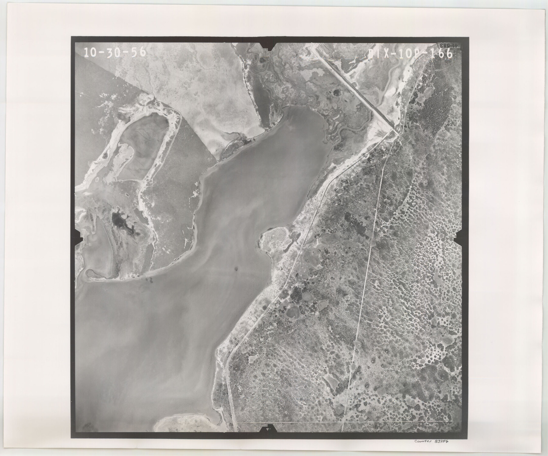
Flight Mission No. DIX-10P, Frame 166, Aransas County
DIX-10P-166
-
Map/Doc
83956
-
Collection
General Map Collection
-
Object Dates
1956/10/30 (Creation Date)
-
People and Organizations
U. S. Department of Agriculture (Publisher)
-
Counties
Aransas
-
Subjects
Aerial Photograph
-
Height x Width
18.5 x 22.2 inches
47.0 x 56.4 cm
-
Comments
Flown by V. L. Beavers and Associates of San Antonio, Texas.
Part of: General Map Collection
Lavaca County Working Sketch 10

Print $20.00
- Digital $50.00
Lavaca County Working Sketch 10
1952
Size 19.1 x 23.8 inches
Map/Doc 70363
Fractional Township No. 7 South Range No. 1 East of the Indian Meridian, Indian Territory

Print $20.00
- Digital $50.00
Fractional Township No. 7 South Range No. 1 East of the Indian Meridian, Indian Territory
1898
Size 19.2 x 24.6 inches
Map/Doc 75199
Flight Mission No. BRA-7M, Frame 36, Jefferson County

Print $20.00
- Digital $50.00
Flight Mission No. BRA-7M, Frame 36, Jefferson County
1953
Size 18.7 x 22.3 inches
Map/Doc 85487
Dimmit County Working Sketch 7

Print $20.00
- Digital $50.00
Dimmit County Working Sketch 7
1927
Size 26.2 x 22.3 inches
Map/Doc 68668
Nueces County Aerial Photograph Index Sheet 1

Print $20.00
- Digital $50.00
Nueces County Aerial Photograph Index Sheet 1
1956
Size 23.4 x 19.6 inches
Map/Doc 83736
Flight Mission No. CLL-3N, Frame 6, Willacy County

Print $20.00
- Digital $50.00
Flight Mission No. CLL-3N, Frame 6, Willacy County
1954
Size 18.5 x 22.2 inches
Map/Doc 87072
Flight Mission No. DAG-21K, Frame 92, Matagorda County

Print $20.00
- Digital $50.00
Flight Mission No. DAG-21K, Frame 92, Matagorda County
1952
Size 18.5 x 22.4 inches
Map/Doc 86421
Sabine and Neches Rivers

Print $20.00
- Digital $50.00
Sabine and Neches Rivers
1971
Size 19.7 x 44.4 inches
Map/Doc 69817
Travis County Working Sketch 46

Print $20.00
- Digital $50.00
Travis County Working Sketch 46
1981
Size 46.6 x 36.9 inches
Map/Doc 69430
Galveston County Rolled Sketch 25

Print $20.00
- Digital $50.00
Galveston County Rolled Sketch 25
1965
Size 18.7 x 24.3 inches
Map/Doc 5960
Railroad Track Map, H&TCRRCo., Falls County, Texas

Print $4.00
- Digital $50.00
Railroad Track Map, H&TCRRCo., Falls County, Texas
1918
Size 11.8 x 18.5 inches
Map/Doc 62860
Flight Mission No. CRC-2R, Frame 178, Chambers County

Print $20.00
- Digital $50.00
Flight Mission No. CRC-2R, Frame 178, Chambers County
1956
Size 18.6 x 22.4 inches
Map/Doc 84756
You may also like
Map of Jack County

Print $20.00
- Digital $50.00
Map of Jack County
1896
Size 43.6 x 38.9 inches
Map/Doc 66877
Austin County Working Sketch 1

Print $20.00
- Digital $50.00
Austin County Working Sketch 1
1941
Size 27.7 x 30.1 inches
Map/Doc 67242
Jefferson County Rolled Sketch 40

Print $20.00
- Digital $50.00
Jefferson County Rolled Sketch 40
1957
Size 22.6 x 36.7 inches
Map/Doc 6398
United States - Gulf Coast Texas - Southern part of Laguna Madre

Print $20.00
- Digital $50.00
United States - Gulf Coast Texas - Southern part of Laguna Madre
1941
Size 26.7 x 18.3 inches
Map/Doc 72944
El Paso County Working Sketch 20

Print $20.00
- Digital $50.00
El Paso County Working Sketch 20
1960
Size 28.3 x 26.1 inches
Map/Doc 69042
[Surveys between the Sabine and Red Rivers made for titles under Radford Berry, Commissioner]
![14, [Surveys between the Sabine and Red Rivers made for titles under Radford Berry, Commissioner], General Map Collection](https://historictexasmaps.com/wmedia_w700/maps/14.tif.jpg)
Print $20.00
- Digital $50.00
[Surveys between the Sabine and Red Rivers made for titles under Radford Berry, Commissioner]
1835
Size 22.3 x 15.9 inches
Map/Doc 14
Chambers County Sketch File 2

Print $8.00
- Digital $50.00
Chambers County Sketch File 2
Size 13.4 x 10.5 inches
Map/Doc 17518
Wilbarger County Sketch File 18

Print $12.00
- Digital $50.00
Wilbarger County Sketch File 18
1886
Size 14.3 x 8.8 inches
Map/Doc 40209
Hopkins County

Print $20.00
- Digital $50.00
Hopkins County
1942
Size 45.7 x 42.2 inches
Map/Doc 95533
Orange County Working Sketch 19

Print $20.00
- Digital $50.00
Orange County Working Sketch 19
1931
Size 25.8 x 15.0 inches
Map/Doc 71351
Marion County Rolled Sketch S

Print $20.00
- Digital $50.00
Marion County Rolled Sketch S
1937
Size 18.8 x 18.1 inches
Map/Doc 6663
Gray's New Map of Texas and the Indian Territory

Print $20.00
- Digital $50.00
Gray's New Map of Texas and the Indian Territory
1876
Size 17.6 x 28.6 inches
Map/Doc 97282