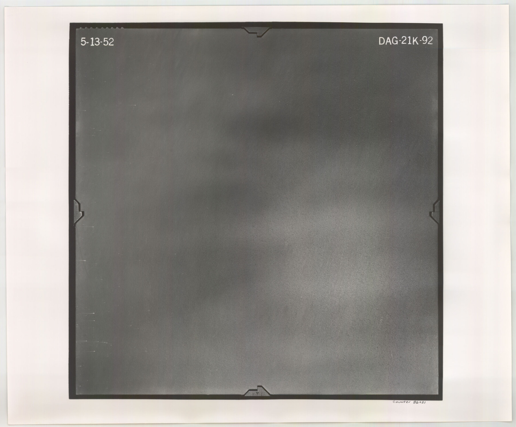
Flight Mission No. DAG-21K, Frame 92, Matagorda County
DAG-21K-92
-
Map/Doc
86421
-
Collection
General Map Collection
-
Object Dates
1952/5/13 (Creation Date)
-
People and Organizations
U. S. Department of Agriculture (Publisher)
-
Counties
Matagorda
-
Subjects
Aerial Photograph
-
Height x Width
18.5 x 22.4 inches
47.0 x 56.9 cm
-
Comments
Flown by Aero Exploration Company of Tulsa, Oklahoma.
Part of: General Map Collection
Stonewall County Working Sketch 6

Print $20.00
- Digital $50.00
Stonewall County Working Sketch 6
1949
Size 16.5 x 30.1 inches
Map/Doc 62313
Wilbarger County Working Sketch 15

Print $20.00
- Digital $50.00
Wilbarger County Working Sketch 15
1955
Size 32.5 x 25.5 inches
Map/Doc 72553
Wichita County Rolled Sketch 16
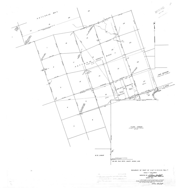

Print $20.00
- Digital $50.00
Wichita County Rolled Sketch 16
1940
Size 36.5 x 35.0 inches
Map/Doc 10658
Harris County Working Sketch 13
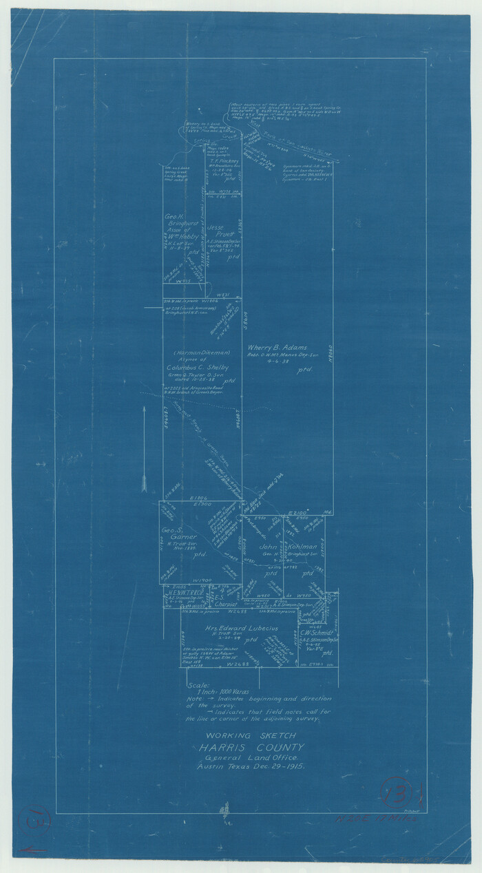

Print $20.00
- Digital $50.00
Harris County Working Sketch 13
1915
Size 19.9 x 11.0 inches
Map/Doc 65905
Nolan County Working Sketch 6
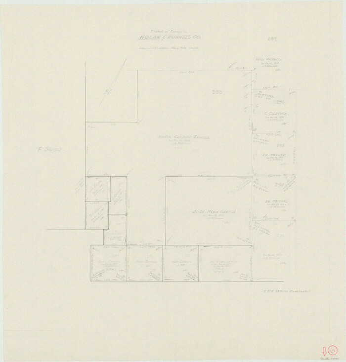

Print $20.00
- Digital $50.00
Nolan County Working Sketch 6
1950
Size 27.2 x 26.0 inches
Map/Doc 71297
El Paso County Boundary File 24


Print $32.00
- Digital $50.00
El Paso County Boundary File 24
Size 14.8 x 9.6 inches
Map/Doc 53221
[Maps of surveys in Reeves & Culberson Cos]
![61131, [Maps of surveys in Reeves & Culberson Cos], General Map Collection](https://historictexasmaps.com/wmedia_w700/maps/61131.tif.jpg)
![61131, [Maps of surveys in Reeves & Culberson Cos], General Map Collection](https://historictexasmaps.com/wmedia_w700/maps/61131.tif.jpg)
Print $20.00
- Digital $50.00
[Maps of surveys in Reeves & Culberson Cos]
1937
Size 30.6 x 24.8 inches
Map/Doc 61131
[Surveys between the Sabine and Red Rivers made for titles under Radford Berry, Commissioner]
![14, [Surveys between the Sabine and Red Rivers made for titles under Radford Berry, Commissioner], General Map Collection](https://historictexasmaps.com/wmedia_w700/maps/14.tif.jpg)
![14, [Surveys between the Sabine and Red Rivers made for titles under Radford Berry, Commissioner], General Map Collection](https://historictexasmaps.com/wmedia_w700/maps/14.tif.jpg)
Print $20.00
- Digital $50.00
[Surveys between the Sabine and Red Rivers made for titles under Radford Berry, Commissioner]
1835
Size 22.3 x 15.9 inches
Map/Doc 14
Zapata County Working Sketch 18
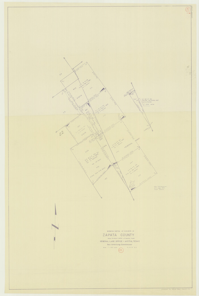

Print $20.00
- Digital $50.00
Zapata County Working Sketch 18
1975
Size 43.2 x 29.1 inches
Map/Doc 62069
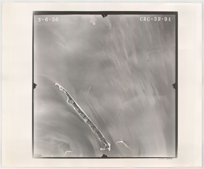
Flight Mission No. CRC-3R, Frame 94, Chambers County

Print $20.00
- Digital $50.00
Flight Mission No. CRC-3R, Frame 94, Chambers County
1956
Size 18.5 x 22.3 inches
Map/Doc 84832
Irion County Sketch File 3

Print $20.00
- Digital $50.00
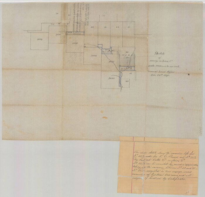
Irion County Sketch File 3
1891
Size 22.4 x 22.1 inches
Map/Doc 11823
Sutton County Working Sketch 61

Print $20.00
- Digital $50.00
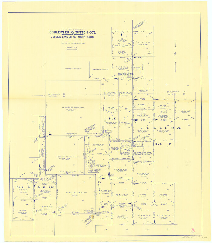
Sutton County Working Sketch 61
1959
Size 44.1 x 38.6 inches
Map/Doc 62404
You may also like
[Map Showing Estivan Martinez "Los Nerios de Tio Ayola" Survey and Surveys North Thereof, Brooks County, Texas]
![10755, [Map Showing Estivan Martinez "Los Nerios de Tio Ayola" Survey and Surveys North Thereof, Brooks County, Texas], Maddox Collection](https://historictexasmaps.com/wmedia_w700/maps/10755.tif.jpg)
![10755, [Map Showing Estivan Martinez "Los Nerios de Tio Ayola" Survey and Surveys North Thereof, Brooks County, Texas], Maddox Collection](https://historictexasmaps.com/wmedia_w700/maps/10755.tif.jpg)
Print $20.00
- Digital $50.00
[Map Showing Estivan Martinez "Los Nerios de Tio Ayola" Survey and Surveys North Thereof, Brooks County, Texas]
1906
Size 16.7 x 25.1 inches
Map/Doc 10755
Schleicher County Sketch File 35


Print $20.00
- Digital $50.00
Schleicher County Sketch File 35
1951
Size 13.8 x 19.4 inches
Map/Doc 12308
[County School Lands]
![91109, [County School Lands], Twichell Survey Records](https://historictexasmaps.com/wmedia_w700/maps/91109-1.tif.jpg)
![91109, [County School Lands], Twichell Survey Records](https://historictexasmaps.com/wmedia_w700/maps/91109-1.tif.jpg)
Print $20.00
- Digital $50.00
[County School Lands]
Size 18.6 x 13.6 inches
Map/Doc 91109
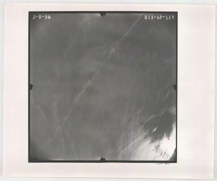
Flight Mission No. DIX-6P, Frame 119, Aransas County

Print $20.00
- Digital $50.00
Flight Mission No. DIX-6P, Frame 119, Aransas County
1956
Size 19.1 x 22.7 inches
Map/Doc 83825
Morris County Rolled Sketch 2A


Print $20.00
- Digital $50.00
Morris County Rolled Sketch 2A
Size 24.2 x 19.1 inches
Map/Doc 10267
Working Sketch of surveys in Brazoria County, showing Cedar Lakes


Print $40.00
- Digital $50.00
Working Sketch of surveys in Brazoria County, showing Cedar Lakes
1950
Size 31.2 x 57.3 inches
Map/Doc 1932
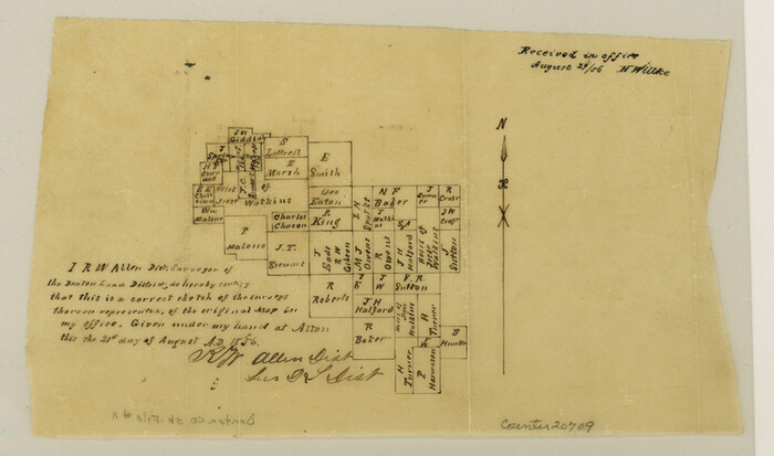
Denton County Sketch File 11

Print $4.00
- Digital $50.00
Denton County Sketch File 11
1856
Size 5.1 x 8.6 inches
Map/Doc 20709
Pecos County Rolled Sketch 44


Print $20.00
- Digital $50.00
Pecos County Rolled Sketch 44
1912
Size 22.9 x 37.6 inches
Map/Doc 7222
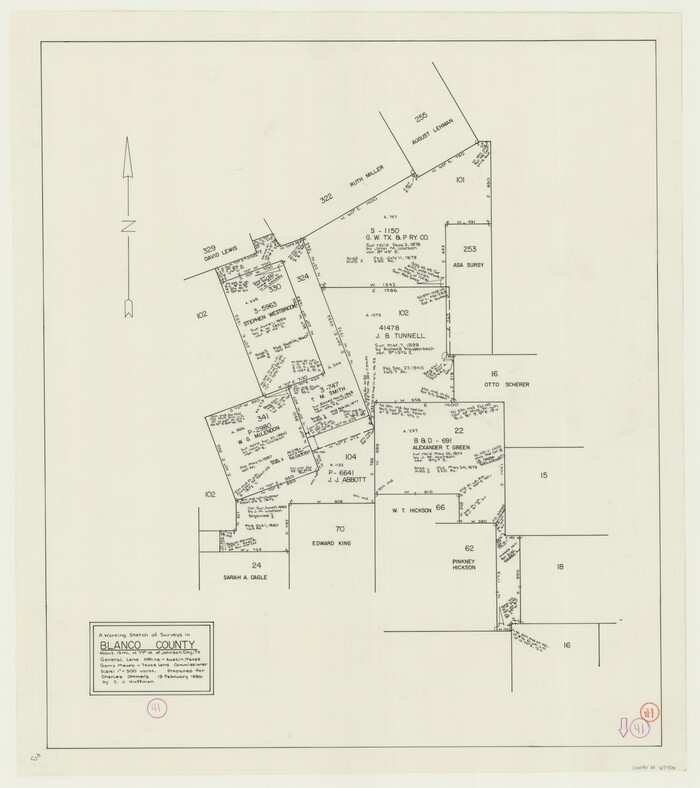
Blanco County Working Sketch 41

Print $20.00
- Digital $50.00
Blanco County Working Sketch 41
1986
Size 28.4 x 25.2 inches
Map/Doc 67401
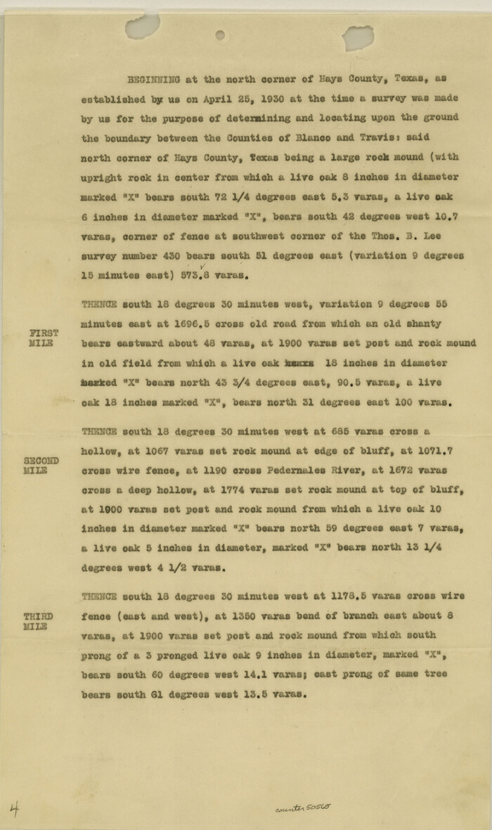
Blanco County Boundary File 7

Print $58.00
- Digital $50.00
Blanco County Boundary File 7
Size 14.3 x 8.5 inches
Map/Doc 50565
Edwards County Rolled Sketch 25


Print $20.00
- Digital $50.00
Edwards County Rolled Sketch 25
1955
Size 30.2 x 35.5 inches
Map/Doc 5811
