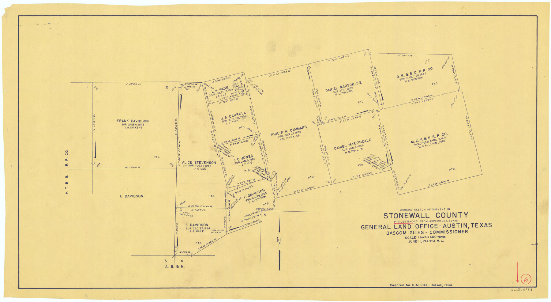
Stonewall County Working Sketch 6
-
Map/Doc
62313
-
Collection
General Map Collection
-
Object Dates
6/11/1949 (Creation Date)
-
Counties
Stonewall
-
Subjects
Surveying Working Sketch
-
Height x Width
16.5 x 30.1 inches
41.9 x 76.5 cm
-
Scale
1" = 400 varas
Part of: General Map Collection
Potter County Working Sketch 4

Print $20.00
- Digital $50.00
Potter County Working Sketch 4
1920
Size 41.9 x 34.1 inches
Map/Doc 71664
Wilbarger County Rolled Sketch 9

Print $20.00
- Digital $50.00
Wilbarger County Rolled Sketch 9
Size 23.8 x 28.1 inches
Map/Doc 8258
Map of Young County

Print $20.00
- Digital $50.00
Map of Young County
1880
Size 22.0 x 20.3 inches
Map/Doc 4174

Jack County Sketch File 16a

Print $4.00
- Digital $50.00
Jack County Sketch File 16a
1885
Size 8.3 x 11.8 inches
Map/Doc 27551
Maps of Gulf Intracoastal Waterway, Texas - Sabine River to the Rio Grande and connecting waterways including ship channels

Print $20.00
- Digital $50.00
Maps of Gulf Intracoastal Waterway, Texas - Sabine River to the Rio Grande and connecting waterways including ship channels
1966
Size 14.5 x 22.2 inches
Map/Doc 61922
San Patricio County NRC Article 33.136 Location Key Sheet

Print $20.00
- Digital $50.00
San Patricio County NRC Article 33.136 Location Key Sheet
1975
Size 27.0 x 23.0 inches
Map/Doc 77035
Brooks County Rolled Sketch 14

Print $20.00
- Digital $50.00
Brooks County Rolled Sketch 14
Size 28.4 x 32.8 inches
Map/Doc 5339

Flight Mission No. DQO-2K, Frame 149, Galveston County

Print $20.00
- Digital $50.00
Flight Mission No. DQO-2K, Frame 149, Galveston County
1952
Size 18.8 x 22.4 inches
Map/Doc 85046
Upton County Working Sketch 54

Print $20.00
- Digital $50.00
Upton County Working Sketch 54
1983
Size 23.2 x 37.7 inches
Map/Doc 69551
Taylor County Sketch File 17

Print $40.00
- Digital $50.00
Taylor County Sketch File 17
Size 14.5 x 17.7 inches
Map/Doc 37811
You may also like
Hudspeth County Sketch File 38

Print $20.00
- Digital $50.00
Hudspeth County Sketch File 38
Size 27.5 x 24.1 inches
Map/Doc 11806
Flight Mission No. CRC-3R, Frame 165, Chambers County

Print $20.00
- Digital $50.00
Flight Mission No. CRC-3R, Frame 165, Chambers County
1956
Size 18.8 x 22.5 inches
Map/Doc 84847
Part of the boundary between the United States and Texas; from Sabine River northward to the 36th mile mound

Print $2.00
- Digital $50.00
Part of the boundary between the United States and Texas; from Sabine River northward to the 36th mile mound
1842
Size 12.5 x 7.6 inches
Map/Doc 93769
Houston County Rolled Sketch 6

Print $40.00
- Digital $50.00
Houston County Rolled Sketch 6
1963
Size 48.0 x 34.3 inches
Map/Doc 9182
Platter Quadrangle

Print $20.00
- Digital $50.00
Platter Quadrangle
1999
Size 35.4 x 23.4 inches
Map/Doc 97365
Coke County Rolled Sketch 14A

Print $20.00
- Digital $50.00
Coke County Rolled Sketch 14A
Size 21.0 x 14.1 inches
Map/Doc 5515
General Highway Map, Cherokee County, Texas

Print $20.00
General Highway Map, Cherokee County, Texas
1961
Size 18.2 x 24.6 inches
Map/Doc 79405
Aransas County NRC Article 33.136 Sketch 2

Print $26.00
- Digital $50.00
Aransas County NRC Article 33.136 Sketch 2
2001
Size 18.6 x 24.2 inches
Map/Doc 61643
San Patricio County Rolled Sketch 46N

Print $3.00
- Digital $50.00
San Patricio County Rolled Sketch 46N
1983
Size 12.2 x 9.3 inches
Map/Doc 8385
Hudspeth County Rolled Sketch 78

Print $20.00
- Digital $50.00
Hudspeth County Rolled Sketch 78
2010
Size 18.4 x 24.5 inches
Map/Doc 93290
Galveston County NRC Article 33.136 Sketch 55B

Print $24.00
- Digital $50.00
Galveston County NRC Article 33.136 Sketch 55B
2007
Size 24.0 x 36.0 inches
Map/Doc 94666
Edwards County Working Sketch 128

Print $20.00
- Digital $50.00
Edwards County Working Sketch 128
1981
Size 26.5 x 32.4 inches
Map/Doc 69004