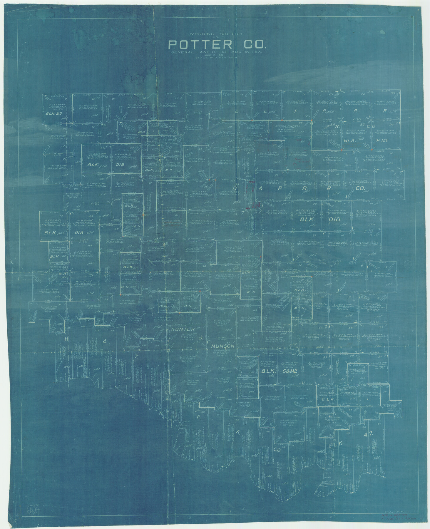
Potter County Working Sketch 4
-
Map/Doc
71664
-
Collection
General Map Collection
-
Object Dates
6/19/1920 (Creation Date)
-
People and Organizations
Grady W. Davis (Draftsman)
-
Counties
Potter
-
Subjects
Surveying Working Sketch
-
Height x Width
41.9 x 34.1 inches
106.4 x 86.6 cm
-
Scale
1" = 800 varas
Part of: General Map Collection
Hardin County Sketch File 71e

Print $20.00
- Digital $50.00
Hardin County Sketch File 71e
Size 25.2 x 37.1 inches
Map/Doc 11642
Gaines County

Print $40.00
- Digital $50.00
Gaines County
1956
Size 45.1 x 56.6 inches
Map/Doc 95504
Andrews County Sketch File 15

Print $24.00
- Digital $50.00
Andrews County Sketch File 15
Size 11.2 x 8.9 inches
Map/Doc 12887
Flight Mission No. DAG-23K, Frame 149, Matagorda County

Print $20.00
- Digital $50.00
Flight Mission No. DAG-23K, Frame 149, Matagorda County
1953
Size 15.9 x 15.9 inches
Map/Doc 86497
Burleson County Working Sketch 20

Print $20.00
- Digital $50.00
Burleson County Working Sketch 20
1980
Size 19.5 x 16.6 inches
Map/Doc 67739
Newton County Working Sketch 40

Print $20.00
- Digital $50.00
Newton County Working Sketch 40
1970
Size 43.6 x 39.7 inches
Map/Doc 71286
Anderson County Sketch File 2

Print $4.00
- Digital $50.00
Anderson County Sketch File 2
1847
Size 12.6 x 8.2 inches
Map/Doc 12739
Atascosa County Working Sketch 23

Print $40.00
- Digital $50.00
Atascosa County Working Sketch 23
1958
Size 38.8 x 57.1 inches
Map/Doc 68434
Brazos River, Brazos River Sheet 7

Print $20.00
- Digital $50.00
Brazos River, Brazos River Sheet 7
1926
Size 22.8 x 27.8 inches
Map/Doc 69671
Jefferson County Sketch File 8a

Print $42.00
- Digital $50.00
Jefferson County Sketch File 8a
Size 8.6 x 7.8 inches
Map/Doc 28120
Jasper County Working Sketch 3

Print $20.00
- Digital $50.00
Jasper County Working Sketch 3
Size 17.8 x 14.1 inches
Map/Doc 66465
Roberts County Sketch File 7

Print $16.00
- Digital $50.00
Roberts County Sketch File 7
1992
Size 14.3 x 8.8 inches
Map/Doc 35316
You may also like
Motley County Sketch File 21 (N)

Print $4.00
- Digital $50.00
Motley County Sketch File 21 (N)
1943
Size 18.8 x 25.3 inches
Map/Doc 42146
Austin County Sketch File 15

Print $12.00
- Digital $50.00
Austin County Sketch File 15
Size 9.5 x 8.2 inches
Map/Doc 13882
Pecos County Rolled Sketch 137

Print $20.00
- Digital $50.00
Pecos County Rolled Sketch 137
Size 20.1 x 15.0 inches
Map/Doc 7273
Pecos County Sketch File 75

Print $6.00
- Digital $50.00
Pecos County Sketch File 75
1943
Size 11.3 x 8.9 inches
Map/Doc 33904
[I. & G. N. RR. Co. Blk. 1]
![89805, [I. & G. N. RR. Co. Blk. 1], Twichell Survey Records](https://historictexasmaps.com/wmedia_w700/maps/89805-1.tif.jpg)
Print $40.00
- Digital $50.00
[I. & G. N. RR. Co. Blk. 1]
Size 36.7 x 49.0 inches
Map/Doc 89805
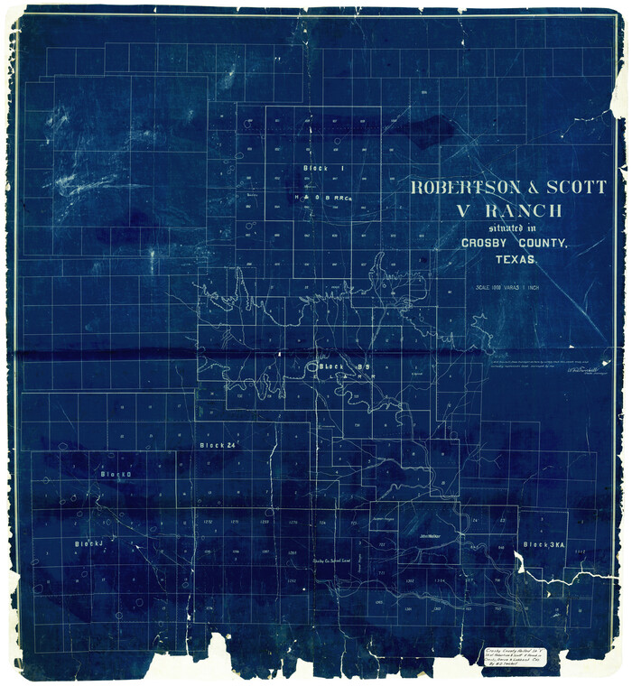
Crosby County Rolled Sketch V
Print $20.00
- Digital $50.00
Crosby County Rolled Sketch V
Size 45.4 x 41.8 inches
Map/Doc 8739
Angelina County Working Sketch 53

Print $40.00
- Digital $50.00
Angelina County Working Sketch 53
1988
Size 42.9 x 58.5 inches
Map/Doc 67137
Baylor County

Print $20.00
- Digital $50.00
Baylor County
1917
Size 47.3 x 40.7 inches
Map/Doc 66712
Callahan County Sketch File 10 1/2

Print $4.00
- Digital $50.00
Callahan County Sketch File 10 1/2
1889
Size 14.4 x 8.7 inches
Map/Doc 35885
General Highway Map, Limestone County, Texas

Print $20.00
General Highway Map, Limestone County, Texas
1961
Size 18.1 x 24.8 inches
Map/Doc 79572
National Map Company's Ohio showing Counties, Townships, Cities, Villages, Post Offices, Steam and Electric Railways, With Stations and Distances Between Stations

Print $20.00
- Digital $50.00
National Map Company's Ohio showing Counties, Townships, Cities, Villages, Post Offices, Steam and Electric Railways, With Stations and Distances Between Stations
1920
Size 38.7 x 32.3 inches
Map/Doc 97109
Hockley County

Print $20.00
- Digital $50.00
Hockley County
1954
Size 41.0 x 36.4 inches
Map/Doc 77313