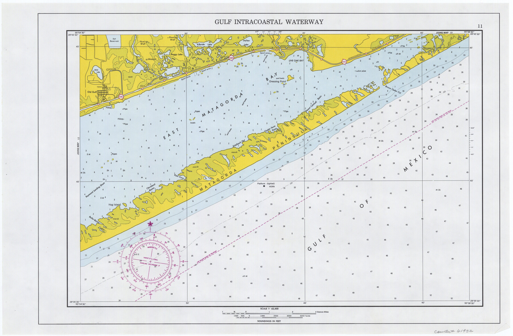
Maps of Gulf Intracoastal Waterway, Texas - Sabine River to the Rio Grande and connecting waterways including ship channels
-
Map/Doc
61932
-
Collection
General Map Collection
-
Object Dates
1966 (Creation Date)
-
Subjects
Intracoastal Waterways
-
Height x Width
14.5 x 22.2 inches
36.8 x 56.4 cm
Part of: General Map Collection
Presidio County Rolled Sketch T-3

Print $20.00
- Digital $50.00
Presidio County Rolled Sketch T-3
Size 36.6 x 28.9 inches
Map/Doc 7417
Map of Texas and Adjacent Regions in the Eighteenth Century

Print $20.00
- Digital $50.00
Map of Texas and Adjacent Regions in the Eighteenth Century
1915
Size 16.7 x 20.0 inches
Map/Doc 94007
Wichita County Rolled Sketch 5

Print $20.00
- Digital $50.00
Wichita County Rolled Sketch 5
Size 24.1 x 39.2 inches
Map/Doc 8242

Henderson County Sketch File 5

Print $4.00
- Digital $50.00
Henderson County Sketch File 5
1853
Size 12.9 x 8.2 inches
Map/Doc 26325
Cherokee County Sketch File 36

Print $20.00
- Digital $50.00
Cherokee County Sketch File 36
1943
Size 23.0 x 22.2 inches
Map/Doc 11074
Travis County Sketch File 27

Print $8.00
- Digital $50.00
Travis County Sketch File 27
1872
Size 12.9 x 8.3 inches
Map/Doc 38338
Navarro County Sketch File 21

Print $4.00
- Digital $50.00
Navarro County Sketch File 21
1859
Size 9.0 x 8.4 inches
Map/Doc 32350
Deaf Smith County Working Sketch 4

Print $40.00
- Digital $50.00
Deaf Smith County Working Sketch 4
1983
Size 37.0 x 52.4 inches
Map/Doc 68644
Galveston County Sketch File 11

Print $40.00
- Digital $50.00
Galveston County Sketch File 11
Size 16.3 x 13.2 inches
Map/Doc 23374
Robertson County Working Sketch 18

Print $20.00
- Digital $50.00
Robertson County Working Sketch 18
1995
Size 29.9 x 34.1 inches
Map/Doc 63591
Donley County Sketch File B12

Print $6.00
- Digital $50.00
Donley County Sketch File B12
1982
Size 9.1 x 14.6 inches
Map/Doc 21276
You may also like
[H. & T. C. RR. Company, Block 47, Map C]
![91247, [H. & T. C. RR. Company, Block 47, Map C], Twichell Survey Records](https://historictexasmaps.com/wmedia_w700/maps/91247-1.tif.jpg)
Print $20.00
- Digital $50.00
[H. & T. C. RR. Company, Block 47, Map C]
Size 32.6 x 19.9 inches
Map/Doc 91247
Working Sketch in Armstrong County

Print $20.00
- Digital $50.00
Working Sketch in Armstrong County
1918
Size 31.5 x 24.3 inches
Map/Doc 90265
Brazoria County Sketch File 10

Print $40.00
- Digital $50.00
Brazoria County Sketch File 10
Size 16.4 x 12.7 inches
Map/Doc 14938
San Saba County

Print $20.00
- Digital $50.00
San Saba County
1987
Size 41.3 x 42.2 inches
Map/Doc 77417
Hall County Sketch File 12

Print $20.00
- Digital $50.00
Hall County Sketch File 12
Size 31.9 x 35.5 inches
Map/Doc 10474
Briscoe County Boundary File 7

Print $6.00
- Digital $50.00
Briscoe County Boundary File 7
Size 10.6 x 8.1 inches
Map/Doc 50806
Hansford County School Land

Print $20.00
- Digital $50.00
Hansford County School Land
1892
Size 33.3 x 20.7 inches
Map/Doc 92512
[Sketch showing H. & T. C. R. R. Co. Blk. 48, S. P. R. R. Co. Blk. I, and E. T. R. R. Co. Blk. I]
![89647, [Sketch showing H. & T. C. R. R. Co. Blk. 48, S. P. R. R. Co. Blk. I, and E. T. R. R. Co. Blk. I], Twichell Survey Records](https://historictexasmaps.com/wmedia_w700/maps/89647-1.tif.jpg)
Print $40.00
- Digital $50.00
[Sketch showing H. & T. C. R. R. Co. Blk. 48, S. P. R. R. Co. Blk. I, and E. T. R. R. Co. Blk. I]
Size 51.4 x 9.2 inches
Map/Doc 89647
Val Verde County Sketch File Z5

Print $20.00
- Digital $50.00
Val Verde County Sketch File Z5
Size 32.3 x 26.1 inches
Map/Doc 12551
General Highway Map, Nacogdoches County, Texas

Print $20.00
General Highway Map, Nacogdoches County, Texas
1961
Size 19.3 x 25.0 inches
Map/Doc 79606
Crosby County Sketch File 22

Print $22.00
- Digital $50.00
Crosby County Sketch File 22
1912
Size 11.3 x 8.6 inches
Map/Doc 20090
[Coleman County Sections 359, 360, and 361]
![92552, [Coleman County Sections 359, 360, and 361], Twichell Survey Records](https://historictexasmaps.com/wmedia_w700/maps/92552-1.tif.jpg)
Print $20.00
- Digital $50.00
[Coleman County Sections 359, 360, and 361]
1946
Size 17.6 x 22.6 inches
Map/Doc 92552