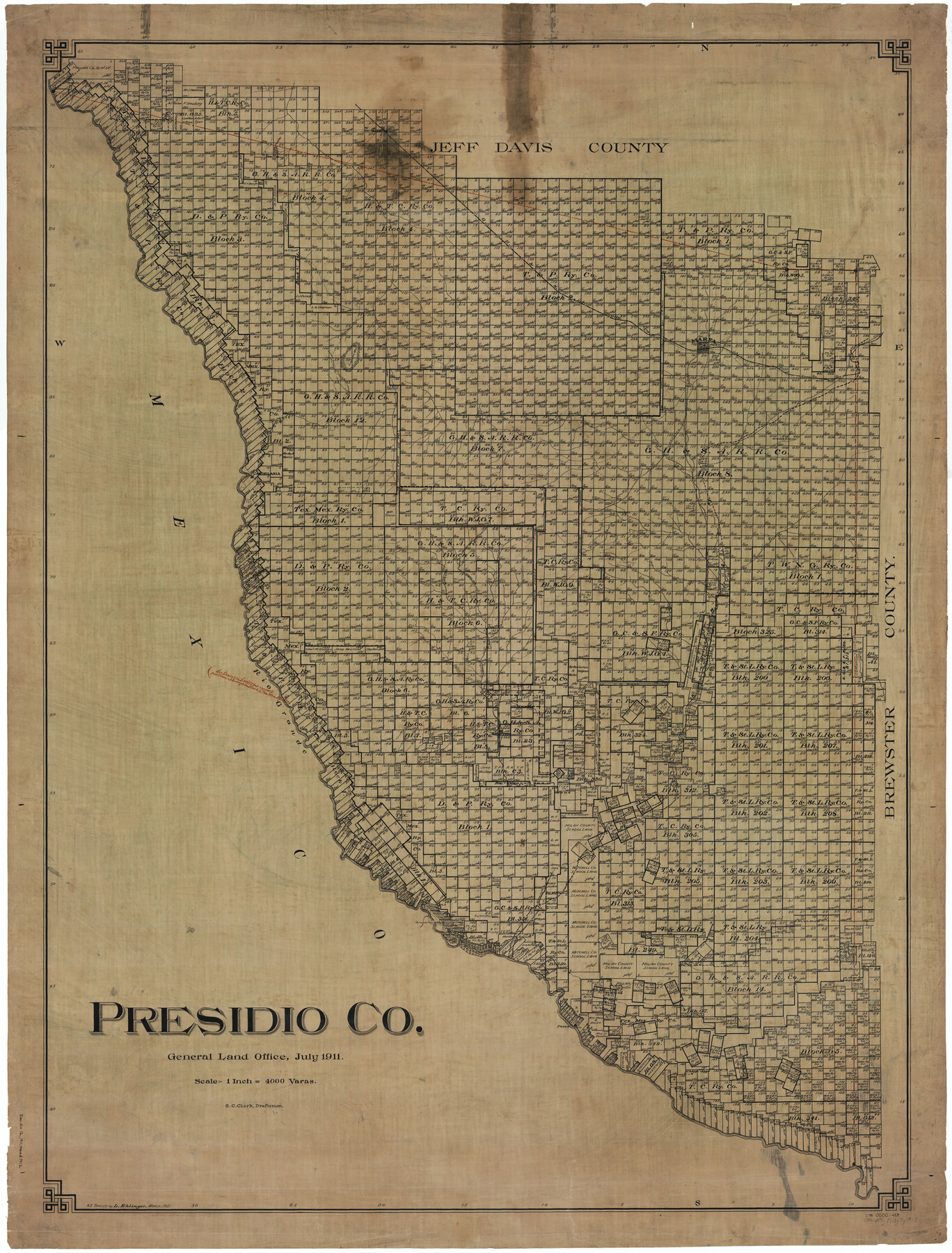
Presidio Co.
-
Map/Doc
66988
-
Collection
General Map Collection
-
Object Dates
7/1911 (Creation Date)
-
People and Organizations
S.C. Clark (Draftsman)
-
Counties
Presidio
-
Subjects
County
-
Height x Width
52.3 x 39.7 inches
132.8 x 100.8 cm
-
Comments
Traced in March 1912 by L. Ehlinger.
Part of: General Map Collection
Sutton County Rolled Sketch 50

Print $40.00
- Digital $50.00
Sutton County Rolled Sketch 50
1950
Size 55.5 x 44.4 inches
Map/Doc 9975
Brewster County Rolled Sketch 129

Print $20.00
- Digital $50.00
Brewster County Rolled Sketch 129
1978
Size 24.4 x 15.3 inches
Map/Doc 5301
Upton County Sketch File 5

Print $40.00
- Digital $50.00
Upton County Sketch File 5
Size 8.7 x 24.4 inches
Map/Doc 38813
Presidio County Working Sketch 66

Print $20.00
- Digital $50.00
Presidio County Working Sketch 66
1960
Size 44.9 x 22.8 inches
Map/Doc 71743
Live Oak County Working Sketch 18

Print $20.00
- Digital $50.00
Live Oak County Working Sketch 18
1961
Size 30.2 x 29.6 inches
Map/Doc 70603
Loving County Rolled Sketch 9

Print $20.00
- Digital $50.00
Loving County Rolled Sketch 9
1985
Size 14.2 x 17.3 inches
Map/Doc 6640
Young County Working Sketch 26

Print $20.00
- Digital $50.00
Young County Working Sketch 26
1982
Size 25.4 x 22.9 inches
Map/Doc 62049
Parker County Working Sketch 3

Print $20.00
- Digital $50.00
Parker County Working Sketch 3
1941
Map/Doc 71453
Map of Burnet Co.

Print $20.00
- Digital $50.00
Map of Burnet Co.
1887
Size 45.5 x 37.9 inches
Map/Doc 7816
Matagorda County Sketch File 45

Print $206.00
- Digital $50.00
Matagorda County Sketch File 45
1967
Size 14.2 x 8.6 inches
Map/Doc 30876
[Surveys in Austin's Colony along the San Antonio Road and the Colorado River]
![15, [Surveys in Austin's Colony along the San Antonio Road and the Colorado River], General Map Collection](https://historictexasmaps.com/wmedia_w700/maps/15.tif.jpg)
Print $20.00
- Digital $50.00
[Surveys in Austin's Colony along the San Antonio Road and the Colorado River]
1821
Size 17.3 x 25.6 inches
Map/Doc 15
Bastrop County Rolled Sketch 3

Print $20.00
- Digital $50.00
Bastrop County Rolled Sketch 3
Size 32.0 x 40.2 inches
Map/Doc 8441
You may also like
Map No. 1. Eastern States designed to accompany Smith's Geography for School

Print $20.00
- Digital $50.00
Map No. 1. Eastern States designed to accompany Smith's Geography for School
1850
Size 9.8 x 12.1 inches
Map/Doc 93885

Famous Heights Addn. Amarillo, Texas

Print $2.00
- Digital $50.00
Famous Heights Addn. Amarillo, Texas
Size 8.3 x 9.8 inches
Map/Doc 91700
Travis County Appraisal District Plat Map 2_0604

Print $20.00
- Digital $50.00
Travis County Appraisal District Plat Map 2_0604
Size 21.5 x 26.4 inches
Map/Doc 94234
Hutchinson County Sketch File 32

Print $20.00
- Digital $50.00
Hutchinson County Sketch File 32
1924
Size 16.7 x 18.0 inches
Map/Doc 11820
Gregg County Rolled Sketch 12

Print $40.00
- Digital $50.00
Gregg County Rolled Sketch 12
1939
Size 49.5 x 55.5 inches
Map/Doc 9065
[Map of Texas showing Frisco Lines]
![95796, [Map of Texas showing Frisco Lines], Cobb Digital Map Collection](https://historictexasmaps.com/wmedia_w700/maps/95796.tif.jpg)
Print $20.00
- Digital $50.00
[Map of Texas showing Frisco Lines]
1910
Size 19.8 x 19.2 inches
Map/Doc 95796
General Highway Map, Matagorda County, Texas

Print $20.00
General Highway Map, Matagorda County, Texas
1961
Size 24.8 x 18.2 inches
Map/Doc 79585
Terrell County Sketch File 1

Print $78.00
- Digital $50.00
Terrell County Sketch File 1
1881
Size 9.1 x 8.8 inches
Map/Doc 37870
Upton County Rolled Sketch 24

Print $20.00
- Digital $50.00
Upton County Rolled Sketch 24
1886
Size 17.3 x 43.5 inches
Map/Doc 10043
Flight Mission No. CUG-3P, Frame 41, Kleberg County

Print $20.00
- Digital $50.00
Flight Mission No. CUG-3P, Frame 41, Kleberg County
1956
Size 18.3 x 22.1 inches
Map/Doc 86246
Flight Mission No. DAG-24K, Frame 124, Matagorda County

Print $20.00
- Digital $50.00
Flight Mission No. DAG-24K, Frame 124, Matagorda County
1953
Size 18.4 x 22.3 inches
Map/Doc 86542