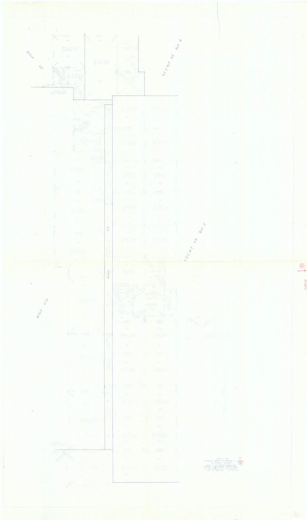
Sutton County Working Sketch 11
-
Map/Doc
62354
-
Collection
General Map Collection
-
Object Dates
6/5/1972 (Creation Date)
-
People and Organizations
Elbert Menzel (Draftsman)
-
Counties
Sutton
-
Subjects
Surveying Working Sketch
-
Height x Width
76.8 x 45.5 inches
195.1 x 115.6 cm
-
Scale
1" = 400 varas
Part of: General Map Collection
Limestone County Sketch File 10

Print $4.00
- Digital $50.00
Limestone County Sketch File 10
Size 8.4 x 9.4 inches
Map/Doc 30171
Flight Mission No. DIX-6P, Frame 185, Aransas County

Print $20.00
- Digital $50.00
Flight Mission No. DIX-6P, Frame 185, Aransas County
1956
Size 19.1 x 22.8 inches
Map/Doc 83847
Flight Mission No. DAG-19K, Frame 64, Matagorda County

Print $20.00
- Digital $50.00
Flight Mission No. DAG-19K, Frame 64, Matagorda County
1952
Size 16.3 x 16.3 inches
Map/Doc 86391
Val Verde County Sketch File XXX4

Print $4.00
- Digital $50.00
Val Verde County Sketch File XXX4
Size 12.8 x 8.4 inches
Map/Doc 39098
Lampasas County Working Sketch 4

Print $20.00
- Digital $50.00
Lampasas County Working Sketch 4
1941
Size 23.1 x 16.8 inches
Map/Doc 70281
Anderson County Working Sketch Graphic Index

Print $40.00
- Digital $50.00
Anderson County Working Sketch Graphic Index
1942
Size 52.0 x 48.3 inches
Map/Doc 76452
United States - Gulf Coast - Padre I. and Laguna Madre Lat. 27° 12' to Lat. 26° 33' Texas

Print $20.00
- Digital $50.00
United States - Gulf Coast - Padre I. and Laguna Madre Lat. 27° 12' to Lat. 26° 33' Texas
1913
Size 27.0 x 18.2 inches
Map/Doc 72813
Pecos County Sketch File 24

Print $22.00
- Digital $50.00
Pecos County Sketch File 24
Size 7.6 x 5.6 inches
Map/Doc 33680
[Rio Grande & Eagle Pass - Stockdale to Cuero]
![64048, [Rio Grande & Eagle Pass - Stockdale to Cuero], General Map Collection](https://historictexasmaps.com/wmedia_w700/maps/64048.tif.jpg)
Print $40.00
- Digital $50.00
[Rio Grande & Eagle Pass - Stockdale to Cuero]
Size 19.9 x 122.5 inches
Map/Doc 64048
Chart of the West Indies and Spanish Dominions in North America

Print $20.00
- Digital $50.00
Chart of the West Indies and Spanish Dominions in North America
1803
Size 25.3 x 38.4 inches
Map/Doc 97136

Walker County

Print $20.00
- Digital $50.00
Walker County
1944
Size 40.4 x 34.4 inches
Map/Doc 77448
You may also like
Baylor County Aerial Photograph Index Sheet 2

Print $20.00
- Digital $50.00
Baylor County Aerial Photograph Index Sheet 2
1950
Size 22.2 x 15.4 inches
Map/Doc 83664
Duval County Rolled Sketch E

Print $20.00
- Digital $50.00
Duval County Rolled Sketch E
1935
Size 36.4 x 37.7 inches
Map/Doc 8808
Cherokee County Working Sketch 8

Print $20.00
- Digital $50.00
Cherokee County Working Sketch 8
1956
Size 22.0 x 45.2 inches
Map/Doc 67963
Foard County Sketch File XX

Print $40.00
- Digital $50.00
Foard County Sketch File XX
1884
Size 14.0 x 16.4 inches
Map/Doc 22802
Stonewall County Sketch File 13

Print $20.00
- Digital $50.00
Stonewall County Sketch File 13
1901
Size 22.4 x 18.8 inches
Map/Doc 12365
Jeff Davis County Working Sketch 32

Print $40.00
- Digital $50.00
Jeff Davis County Working Sketch 32
1975
Size 66.7 x 43.7 inches
Map/Doc 66527
[The S.K. Ry. of Texas, State Line to Pecos, Reeves Co., Texas]
![64159, [The S.K. Ry. of Texas, State Line to Pecos, Reeves Co., Texas], General Map Collection](https://historictexasmaps.com/wmedia_w700/maps/64159.tif.jpg)
Print $40.00
- Digital $50.00
[The S.K. Ry. of Texas, State Line to Pecos, Reeves Co., Texas]
1910
Size 19.4 x 130.6 inches
Map/Doc 64159
Coke County Working Sketch 17

Print $20.00
- Digital $50.00
Coke County Working Sketch 17
1948
Size 18.2 x 19.4 inches
Map/Doc 68054

Uvalde County Sketch File 13

Print $20.00
- Digital $50.00
Uvalde County Sketch File 13
Size 14.3 x 29.1 inches
Map/Doc 12528
Zavala County Sketch File 41

Print $20.00
- Digital $50.00
Zavala County Sketch File 41
1900
Size 24.0 x 21.6 inches
Map/Doc 12731
United States - Gulf Coast - Galveston to Rio Grande

Print $20.00
- Digital $50.00
United States - Gulf Coast - Galveston to Rio Grande
1919
Size 27.0 x 18.2 inches
Map/Doc 72748