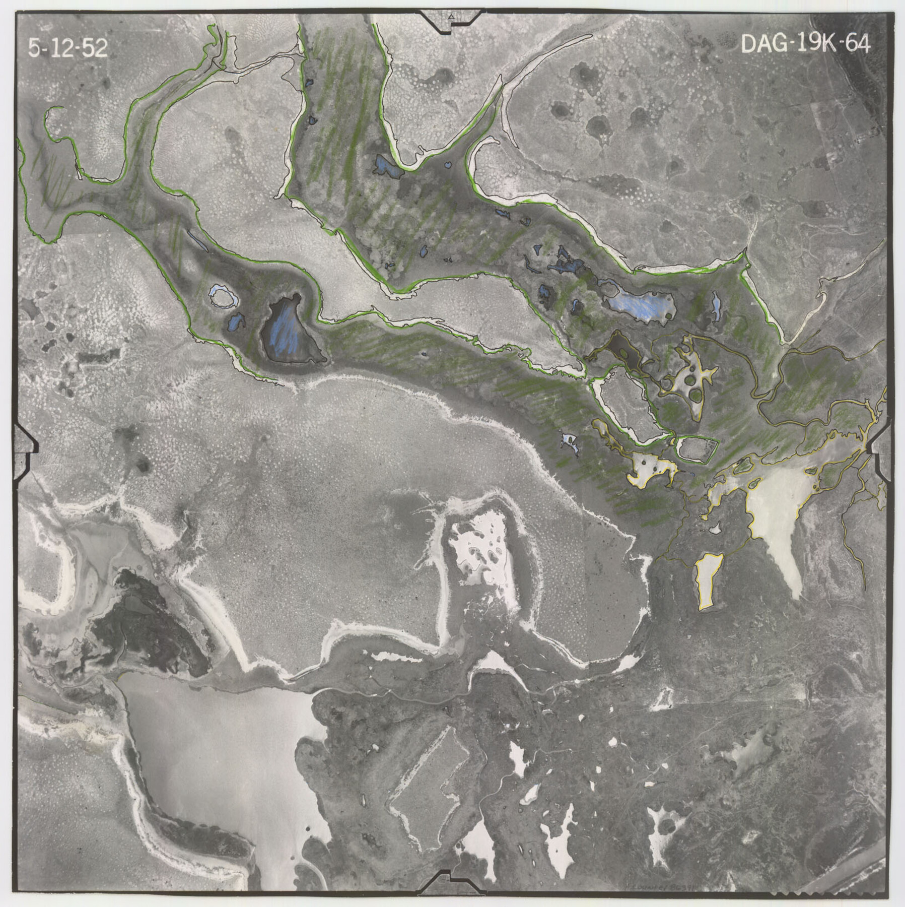
Flight Mission No. DAG-19K, Frame 64, Matagorda County
DAG-19K-64
-
Map/Doc
86391
-
Collection
General Map Collection
-
Object Dates
1952/5/12 (Creation Date)
-
People and Organizations
U. S. Department of Agriculture (Publisher)
-
Counties
Matagorda
-
Subjects
Aerial Photograph
-
Height x Width
16.3 x 16.3 inches
41.4 x 41.4 cm
-
Comments
Flown by Aero Exploration Company of Tulsa, Oklahoma.
Part of: General Map Collection
Map of Location of the Pecos & Northern Texas Railway from Station 9174+74 to Station 10729+59 = 29.45 Miles through Randall County, Texas

Print $40.00
- Digital $50.00
Map of Location of the Pecos & Northern Texas Railway from Station 9174+74 to Station 10729+59 = 29.45 Miles through Randall County, Texas
1898
Size 24.7 x 86.8 inches
Map/Doc 64088
Gillespie County Sketch File 16

Print $20.00
- Digital $50.00
Gillespie County Sketch File 16
1951
Size 18.2 x 17.9 inches
Map/Doc 11557
Atascosa County Rolled Sketch 22

Print $40.00
- Digital $50.00
Atascosa County Rolled Sketch 22
1917
Size 25.9 x 57.4 inches
Map/Doc 8920
Edwards County Working Sketch 58

Print $20.00
- Digital $50.00
Edwards County Working Sketch 58
1953
Size 22.4 x 29.8 inches
Map/Doc 68934
Flight Mission No. BRA-17M, Frame 17, Jefferson County

Print $20.00
- Digital $50.00
Flight Mission No. BRA-17M, Frame 17, Jefferson County
1953
Size 18.5 x 22.3 inches
Map/Doc 85798
Mitchell County Working Sketch 1

Print $20.00
- Digital $50.00
Mitchell County Working Sketch 1
1905
Size 24.2 x 20.7 inches
Map/Doc 71058
Uvalde County Sketch File 7

Print $6.00
- Digital $50.00
Uvalde County Sketch File 7
Size 14.5 x 11.4 inches
Map/Doc 38962
Kaufman County Boundary File 1a

Print $8.00
- Digital $50.00
Kaufman County Boundary File 1a
Size 14.1 x 8.6 inches
Map/Doc 55907
Real County Rolled Sketch 5

Print $20.00
- Digital $50.00
Real County Rolled Sketch 5
Size 26.2 x 23.7 inches
Map/Doc 7455
Val Verde County Rolled Sketch 28

Print $20.00
- Digital $50.00
Val Verde County Rolled Sketch 28
Size 28.5 x 36.1 inches
Map/Doc 8110
Flight Mission No. BRE-1P, Frame 47, Nueces County

Print $20.00
- Digital $50.00
Flight Mission No. BRE-1P, Frame 47, Nueces County
1956
Size 18.4 x 22.3 inches
Map/Doc 86636
Stonewall County Working Sketch 26

Print $20.00
- Digital $50.00
Stonewall County Working Sketch 26
1973
Size 27.0 x 17.9 inches
Map/Doc 62333
You may also like

General Chart of the Coast No. XVI - Gulf Coast from Galveston to the Rio Grande

Print $20.00
- Digital $50.00
General Chart of the Coast No. XVI - Gulf Coast from Galveston to the Rio Grande
1883
Size 26.8 x 18.1 inches
Map/Doc 72737
Dimmit County Boundary File 4

Print $14.00
- Digital $50.00
Dimmit County Boundary File 4
Size 14.1 x 8.8 inches
Map/Doc 52570
Burnet County Sketch File 2

Print $4.00
- Digital $50.00
Burnet County Sketch File 2
Size 8.1 x 6.1 inches
Map/Doc 16672
Record of Field Notes in Austin's Colony

Record of Field Notes in Austin's Colony
1837
Map/Doc 96673
Galveston County Sketch File 24

Print $20.00
- Digital $50.00
Galveston County Sketch File 24
Size 15.8 x 18.1 inches
Map/Doc 11531
Jefferson County Sketch File 5b

Print $6.00
- Digital $50.00
Jefferson County Sketch File 5b
1860
Size 9.3 x 11.1 inches
Map/Doc 28108
Flight Mission No. CUG-1P, Frame 80, Kleberg County

Print $20.00
- Digital $50.00
Flight Mission No. CUG-1P, Frame 80, Kleberg County
1956
Size 18.8 x 22.4 inches
Map/Doc 86145
Harrison County Working Sketch 17

Print $20.00
- Digital $50.00
Harrison County Working Sketch 17
1969
Size 38.1 x 38.0 inches
Map/Doc 66037
Childress County Working Sketch 6

Print $20.00
- Digital $50.00
Childress County Working Sketch 6
1954
Size 19.1 x 24.3 inches
Map/Doc 68022
Maps of Gulf Intracoastal Waterway, Texas - Sabine River to the Rio Grande and connecting waterways including ship channels

Print $20.00
- Digital $50.00
Maps of Gulf Intracoastal Waterway, Texas - Sabine River to the Rio Grande and connecting waterways including ship channels
1966
Size 14.5 x 22.2 inches
Map/Doc 61963
Map of Crockett Co.

Print $20.00
- Digital $50.00
Map of Crockett Co.
1901
Size 31.7 x 42.4 inches
Map/Doc 1475