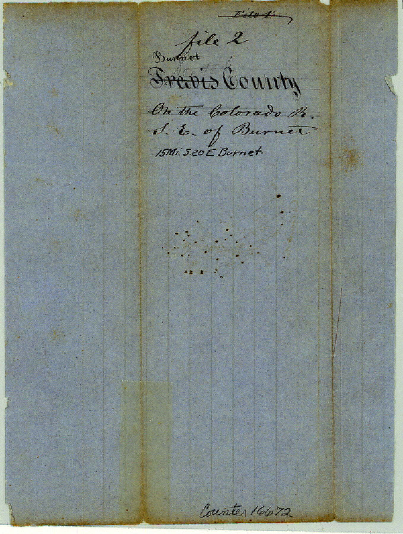
Burnet County Sketch File 2
[Sketch of area on the Colorado River, southeast of Burnet]
-
Map/Doc
16672
-
Collection
General Map Collection
-
Counties
Burnet
-
Subjects
Surveying Sketch File
-
Height x Width
8.1 x 6.1 inches
20.6 x 15.5 cm
-
Medium
paper, manuscript
-
Features
Colorado River
Post Oak Creek
Hickory Creek
Part of: General Map Collection
Crane County Sketch File 27

Print $6.00
- Digital $50.00
Crane County Sketch File 27
Size 11.5 x 9.3 inches
Map/Doc 19603
Presidio County Working Sketch 86

Print $20.00
- Digital $50.00
Presidio County Working Sketch 86
1971
Size 45.4 x 42.2 inches
Map/Doc 71763
Jack County Boundary File 1a

Print $16.00
- Digital $50.00
Jack County Boundary File 1a
Size 10.7 x 8.4 inches
Map/Doc 55376
Pecos County Sketch File U

Print $20.00
- Digital $50.00
Pecos County Sketch File U
1902
Size 20.9 x 32.7 inches
Map/Doc 12188
Sutton County Rolled Sketch 58

Print $20.00
- Digital $50.00
Sutton County Rolled Sketch 58
Size 31.2 x 15.9 inches
Map/Doc 7896
Castro County Sketch File 1a

Print $8.00
- Digital $50.00
Castro County Sketch File 1a
Size 8.6 x 14.0 inches
Map/Doc 17454
Tyler County Working Sketch 3

Print $20.00
- Digital $50.00
Tyler County Working Sketch 3
1922
Size 28.0 x 32.6 inches
Map/Doc 69473
Map of Palo Pinto County

Print $20.00
- Digital $50.00
Map of Palo Pinto County
1898
Size 45.8 x 37.6 inches
Map/Doc 16783
Flight Mission No. DQN-2K, Frame 34, Calhoun County

Print $20.00
- Digital $50.00
Flight Mission No. DQN-2K, Frame 34, Calhoun County
1953
Size 18.5 x 22.2 inches
Map/Doc 84241
Ellis County Working Sketch Graphic Index

Print $20.00
- Digital $50.00
Ellis County Working Sketch Graphic Index
1943
Size 43.1 x 47.7 inches
Map/Doc 76535
Flight Mission No. CGI-3N, Frame 109, Cameron County

Print $20.00
- Digital $50.00
Flight Mission No. CGI-3N, Frame 109, Cameron County
1954
Size 18.5 x 22.1 inches
Map/Doc 84589
Crockett County Sketch File 98

Print $8.00
- Digital $50.00
Crockett County Sketch File 98
1925
Size 12.5 x 8.9 inches
Map/Doc 19976
You may also like
Located Line of the Panhandle & Gulf Ry. through State Lands, Public School and University, in Reagan County, Texas, Right of Way 200 feet wide

Print $40.00
- Digital $50.00
Located Line of the Panhandle & Gulf Ry. through State Lands, Public School and University, in Reagan County, Texas, Right of Way 200 feet wide
1904
Size 13.4 x 90.8 inches
Map/Doc 64063
Map of Kinney County

Print $20.00
- Digital $50.00
Map of Kinney County
1863
Size 31.4 x 29.7 inches
Map/Doc 3774
Texas 1971 Official State Highway Map

Digital $50.00
Texas 1971 Official State Highway Map
Size 28.3 x 36.5 inches
Map/Doc 94316
El Paso County Sketch File 39

Print $27.00
- Digital $50.00
El Paso County Sketch File 39
1922
Size 13.9 x 8.8 inches
Map/Doc 22225
Preliminary map of Brazos Island

Print $20.00
- Digital $50.00
Preliminary map of Brazos Island
1863
Size 25.2 x 18.1 inches
Map/Doc 72924
Gulf Coast of the United States, Key West to Rio Grande

Print $20.00
- Digital $50.00
Gulf Coast of the United States, Key West to Rio Grande
1892
Size 27.3 x 18.3 inches
Map/Doc 72670
Grayson County Working Sketch 17

Print $20.00
- Digital $50.00
Grayson County Working Sketch 17
1955
Size 16.0 x 42.5 inches
Map/Doc 63256
Runnels County Working Sketch 19

Print $20.00
- Digital $50.00
Runnels County Working Sketch 19
1950
Size 24.9 x 30.8 inches
Map/Doc 63615
Survey of Lots 1 and 2, Desha Bunton Subdivision

Print $20.00
- Digital $50.00
Survey of Lots 1 and 2, Desha Bunton Subdivision
1916
Size 19.6 x 18.4 inches
Map/Doc 487
Southern Part of Laguna Madre

Print $20.00
- Digital $50.00
Southern Part of Laguna Madre
1952
Size 44.7 x 35.2 inches
Map/Doc 73537
Howard County Sketch File 4

Print $20.00
- Digital $50.00
Howard County Sketch File 4
Size 25.6 x 21.8 inches
Map/Doc 11793
Nueces County Rolled Sketch 2

Print $20.00
- Digital $50.00
Nueces County Rolled Sketch 2
1907
Size 18.4 x 35.8 inches
Map/Doc 6865