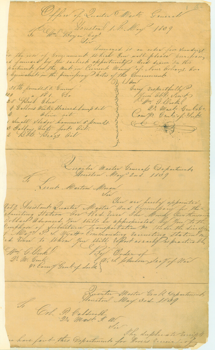
Record of Field Notes in Austin's Colony
-
Map/Doc
96673
-
Collection
Historical Volumes
-
Object Dates
7/1837 (Creation Date)
-
Subjects
Bound Volume Colony Mexican Texas
-
Medium
paper, bound volume
-
Comments
Field note book containing the field notes of all the surveys of lands granted in the first Contract of Colonization by the Empresario Stephen F. Austin together with the field notes of the intermediate and adjoining surveys on the principal river and water courses granted in said first contract and likewise the field notes of many recent surveys of lands granted in the contract of Austin & Williams many of which were taken [from] the original titles.
Part of: Historical Volumes
English Field Notes of the Spanish Archives - Books BTB, GA, BT, and X


English Field Notes of the Spanish Archives - Books BTB, GA, BT, and X
1835
Map/Doc 96554
Political Chief of Nacogdoches to Secretary of the State Government (PCNSS)


Political Chief of Nacogdoches to Secretary of the State Government (PCNSS)
Size 12.7 x 9.5 inches
Map/Doc 94265
Record of Spanish Titles, Vol. I


Record of Spanish Titles, Vol. I
1845
Size 19.2 x 13.9 inches
Map/Doc 94526
English Field Notes of the Spanish Archives - Book 11


English Field Notes of the Spanish Archives - Book 11
1832
Map/Doc 96537
Austin's Register of Families Vol. 1


Austin's Register of Families Vol. 1
Size 14.0 x 10.2 inches
Map/Doc 94249
English Field Notes of the Spanish Archives - Books J.S.2, 3, and 4

English Field Notes of the Spanish Archives - Books J.S.2, 3, and 4
1835
Map/Doc 96550
Record of Translations of Titles - DeWitt's Colony, Vol. 4


Record of Translations of Titles - DeWitt's Colony, Vol. 4
1872
Map/Doc 94549
Austin's Register of Families Vol. 2


Austin's Register of Families Vol. 2
Size 13.6 x 10.1 inches
Map/Doc 94250
Translations of Titles - Austin's Second Contract, Vol. 2


Translations of Titles - Austin's Second Contract, Vol. 2
1841
Map/Doc 94547
English Field Notes of the Spanish Archives - Books DBE, WBPS, GAN, WB3, and X


English Field Notes of the Spanish Archives - Books DBE, WBPS, GAN, WB3, and X
1835
Map/Doc 96546
You may also like
Flight Mission No. DCL-7C, Frame 145, Kenedy County


Print $20.00
- Digital $50.00
Flight Mission No. DCL-7C, Frame 145, Kenedy County
1943
Size 18.6 x 22.5 inches
Map/Doc 86102
Denton County Rolled Sketch 6


Print $20.00
- Digital $50.00
Denton County Rolled Sketch 6
1983
Size 25.4 x 37.2 inches
Map/Doc 5702
Wise County Working Sketch 9

Print $20.00
- Digital $50.00
Wise County Working Sketch 9
1957
Size 23.6 x 29.0 inches
Map/Doc 72623
Pecos County Sketch File 67

Print $76.00
- Digital $50.00
Pecos County Sketch File 67
1919
Size 14.1 x 8.8 inches
Map/Doc 33828
Wood County Sketch File 10


Print $12.00
- Digital $50.00
Wood County Sketch File 10
1850
Size 8.3 x 12.8 inches
Map/Doc 40658
Culberson County Sketch File 23
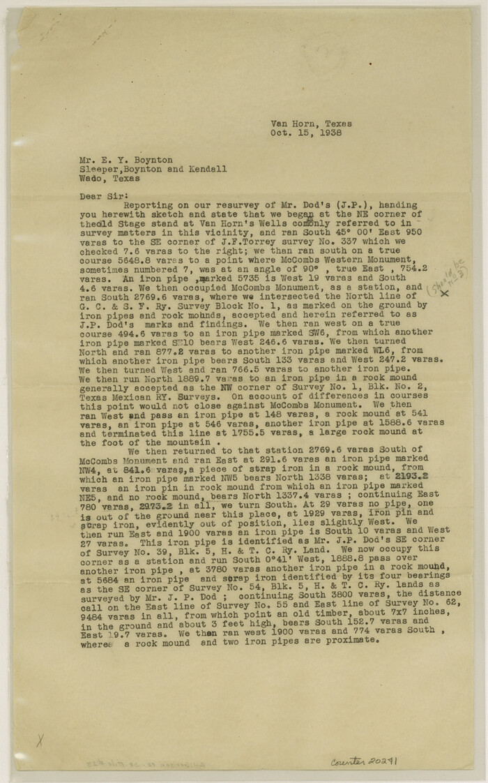

Print $10.00
- Digital $50.00
Culberson County Sketch File 23
1938
Size 14.2 x 8.6 inches
Map/Doc 20238
Comanche County
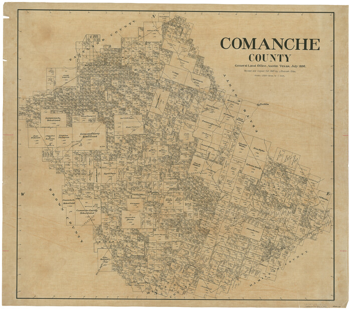

Print $20.00
- Digital $50.00
Comanche County
1896
Size 42.2 x 47.6 inches
Map/Doc 66784
Matagorda County Working Sketch 21
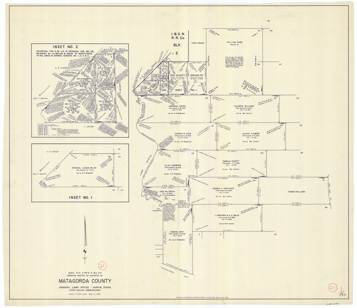

Print $20.00
- Digital $50.00
Matagorda County Working Sketch 21
1966
Size 35.5 x 41.2 inches
Map/Doc 70879
Brazoria County Working Sketch 35
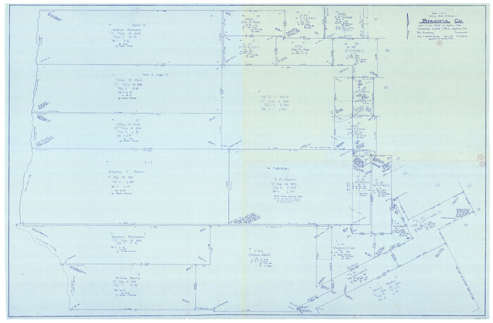

Print $40.00
- Digital $50.00
Brazoria County Working Sketch 35
1981
Size 43.5 x 66.2 inches
Map/Doc 67520
Flight Mission No. DQO-12K, Frame 37, Galveston County


Print $20.00
- Digital $50.00
Flight Mission No. DQO-12K, Frame 37, Galveston County
1952
Size 18.7 x 22.4 inches
Map/Doc 85228
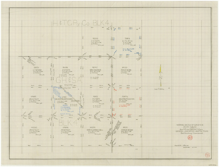
Jeff Davis County Working Sketch 41

Print $20.00
- Digital $50.00
Jeff Davis County Working Sketch 41
1981
Size 26.4 x 34.9 inches
Map/Doc 66536
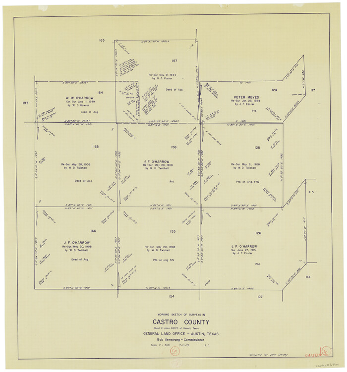
Castro County Working Sketch 6

Print $20.00
- Digital $50.00
Castro County Working Sketch 6
1975
Size 28.4 x 26.4 inches
Map/Doc 67901

