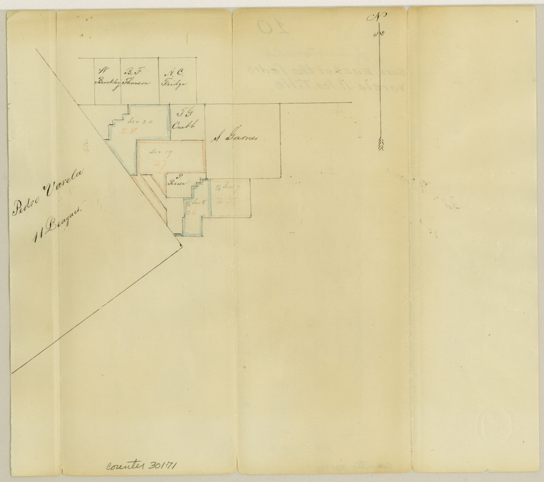
Limestone County Sketch File 10
[Sketch of surveys east of the Pedro Varela 11 League title]
-
Map/Doc
30171
-
Collection
General Map Collection
-
Counties
Limestone Freestone
-
Subjects
Surveying Sketch File
-
Height x Width
8.4 x 9.4 inches
21.3 x 23.9 cm
-
Medium
paper, manuscript
Part of: General Map Collection
Hemphill County Working Sketch 5

Print $20.00
- Digital $50.00
Hemphill County Working Sketch 5
1940
Size 31.6 x 42.4 inches
Map/Doc 66100
Victoria County Working Sketch 10

Print $20.00
- Digital $50.00
Victoria County Working Sketch 10
1964
Size 36.9 x 45.4 inches
Map/Doc 72280
Nolan County Working Sketch 7

Print $20.00
- Digital $50.00
Nolan County Working Sketch 7
1954
Size 33.9 x 24.3 inches
Map/Doc 71298
Floyd County Working Sketch 8

Print $20.00
- Digital $50.00
Floyd County Working Sketch 8
1931
Size 20.8 x 15.9 inches
Map/Doc 69187
Outer Continental Shelf Leasing Maps (Texas Offshore Operations)

Print $20.00
- Digital $50.00
Outer Continental Shelf Leasing Maps (Texas Offshore Operations)
1954
Size 22.3 x 17.3 inches
Map/Doc 75833
Hood County Working Sketch 2

Print $20.00
- Digital $50.00
Hood County Working Sketch 2
1956
Size 20.5 x 25.5 inches
Map/Doc 66196
A Map of Dallas County

Print $20.00
- Digital $50.00
A Map of Dallas County
1855
Size 18.4 x 18.8 inches
Map/Doc 3465
Karnes County Sketch File 2

Print $6.00
- Digital $50.00
Karnes County Sketch File 2
1851
Size 12.5 x 8.1 inches
Map/Doc 28547
Grayson County Rolled Sketch 3

Print $20.00
- Digital $50.00
Grayson County Rolled Sketch 3
1952
Size 33.7 x 46.1 inches
Map/Doc 9666
Shaw Farm, State Prison Farm, Bowie County

Print $20.00
- Digital $50.00
Shaw Farm, State Prison Farm, Bowie County
Size 15.7 x 17.2 inches
Map/Doc 82854
Map of the Reconnaissance in Texas by Lieuts Blake & Meade of the Corps of Topl. Engrs.

Print $20.00
- Digital $50.00
Map of the Reconnaissance in Texas by Lieuts Blake & Meade of the Corps of Topl. Engrs.
1845
Size 27.6 x 18.2 inches
Map/Doc 72891
Dickens County Sketch File 1a

Print $40.00
- Digital $50.00
Dickens County Sketch File 1a
1879
Size 16.8 x 13.8 inches
Map/Doc 20948
You may also like
Jones County Boundary File 1a

Print $40.00
- Digital $50.00
Jones County Boundary File 1a
1882
Size 37.9 x 39.2 inches
Map/Doc 44358
Hardin County Sketch File 49

Print $4.00
- Digital $50.00
Hardin County Sketch File 49
1904
Size 14.5 x 8.8 inches
Map/Doc 25202
Map of Martin County

Print $20.00
- Digital $50.00
Map of Martin County
1900
Size 41.4 x 36.5 inches
Map/Doc 66918
General Highway Map, Kaufman County, Texas

Print $20.00
General Highway Map, Kaufman County, Texas
1961
Size 24.9 x 18.1 inches
Map/Doc 79548
Eastland County Working Sketch 47

Print $20.00
- Digital $50.00
Eastland County Working Sketch 47
1981
Size 30.0 x 27.1 inches
Map/Doc 68828
Maps of Gulf Intracoastal Waterway, Texas - Sabine River to the Rio Grande and connecting waterways including ship channels

Print $20.00
- Digital $50.00
Maps of Gulf Intracoastal Waterway, Texas - Sabine River to the Rio Grande and connecting waterways including ship channels
1966
Size 14.5 x 21.2 inches
Map/Doc 61989
Trinity River, Clapps Ferry Sheet

Print $20.00
- Digital $50.00
Trinity River, Clapps Ferry Sheet
1925
Size 47.5 x 36.4 inches
Map/Doc 65180
Upshur County Sketch File 11

Print $22.00
- Digital $50.00
Upshur County Sketch File 11
Size 8.4 x 10.4 inches
Map/Doc 38750
Hudspeth County Rolled Sketch 74

Print $40.00
- Digital $50.00
Hudspeth County Rolled Sketch 74
1992
Size 49.5 x 38.1 inches
Map/Doc 9237
Nueces County Sketch File 69

Print $6.00
- Digital $50.00
Nueces County Sketch File 69
Size 11.1 x 8.7 inches
Map/Doc 33004
McMullen County Working Sketch 16

Print $20.00
- Digital $50.00
McMullen County Working Sketch 16
1940
Size 23.8 x 19.8 inches
Map/Doc 70717
The Republic County of Rusk. February 1, 1845

Print $20.00
The Republic County of Rusk. February 1, 1845
2020
Size 19.1 x 21.7 inches
Map/Doc 96267