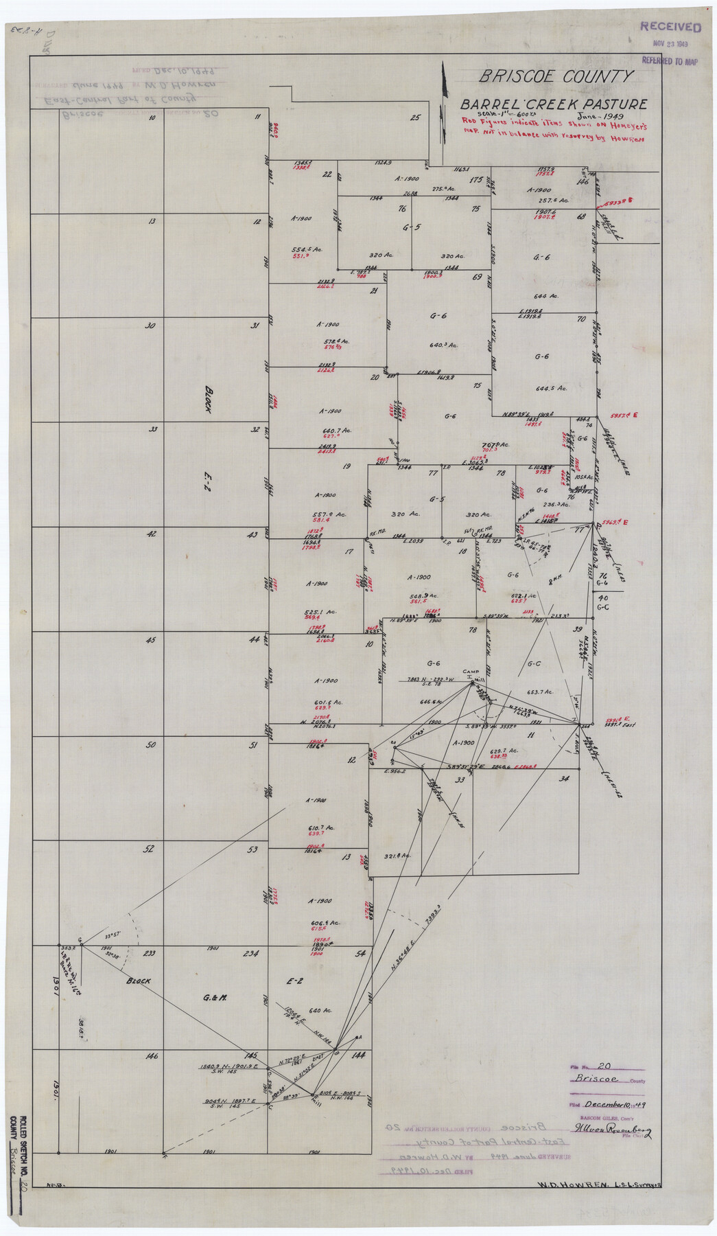
Briscoe County Rolled Sketch 20
Barrel Creek Pasture
-
Map/Doc
5334
-
Collection
General Map Collection
-
Object Dates
1949 (Creation Date)
1949/12/10 (File Date)
-
People and Organizations
W.D. Howren (Surveyor/Engineer)
-
Counties
Briscoe
-
Subjects
Surveying Rolled Sketch
-
Height x Width
37.4 x 21.7 inches
95.0 x 55.1 cm
-
Medium
linen, manuscript
-
Scale
1" = 600 varas
Part of: General Map Collection
Bandera County Sketch File 33

Print $40.00
- Digital $50.00
Bandera County Sketch File 33
1975
Size 14.4 x 17.5 inches
Map/Doc 14028
McMullen County Sketch File 43

Print $10.00
- Digital $50.00
McMullen County Sketch File 43
1942
Size 14.2 x 8.8 inches
Map/Doc 31421
Robertson County Working Sketch 5

Print $20.00
- Digital $50.00
Robertson County Working Sketch 5
1980
Size 33.9 x 44.1 inches
Map/Doc 63578
Chart of Yellow Fever in the United States

Print $20.00
- Digital $50.00
Chart of Yellow Fever in the United States
1874
Size 16.3 x 17.2 inches
Map/Doc 95701
Erath County Working Sketch 45

Print $20.00
- Digital $50.00
Erath County Working Sketch 45
1982
Size 25.5 x 24.8 inches
Map/Doc 69126
Gillespie County Working Sketch 4

Print $20.00
- Digital $50.00
Gillespie County Working Sketch 4
1969
Size 32.5 x 35.3 inches
Map/Doc 63167
Hartley County Sketch File 18

Print $4.00
- Digital $50.00
Hartley County Sketch File 18
2001
Size 11.1 x 8.7 inches
Map/Doc 76330
Pecos County Working Sketch 62

Print $40.00
- Digital $50.00
Pecos County Working Sketch 62
1952
Size 32.3 x 59.1 inches
Map/Doc 71534
Packery Channel

Print $20.00
- Digital $50.00
Packery Channel
1975
Size 26.2 x 21.5 inches
Map/Doc 2991
Tyler County Sketch File A

Print $5.00
- Digital $50.00
Tyler County Sketch File A
1849
Size 9.9 x 15.1 inches
Map/Doc 38603
Hartley County Sketch File 9

Print $12.00
- Digital $50.00
Hartley County Sketch File 9
1903
Size 10.8 x 7.2 inches
Map/Doc 26094
Newton County Sketch File 27

Print $4.00
- Digital $50.00
Newton County Sketch File 27
Size 13.0 x 8.6 inches
Map/Doc 32411
You may also like
Anton Independent School District Hockley and Lamb Counties, Texas

Print $20.00
- Digital $50.00
Anton Independent School District Hockley and Lamb Counties, Texas
Size 19.3 x 23.7 inches
Map/Doc 92215
El Paso County Rolled Sketch 50

Print $40.00
- Digital $50.00
El Paso County Rolled Sketch 50
Size 19.7 x 76.0 inches
Map/Doc 76430
Flight Mission No. DQO-3K, Frame 16, Galveston County

Print $20.00
- Digital $50.00
Flight Mission No. DQO-3K, Frame 16, Galveston County
1952
Size 18.9 x 22.5 inches
Map/Doc 85057
Presidio County Rolled Sketch MS

Print $20.00
- Digital $50.00
Presidio County Rolled Sketch MS
1910
Size 31.7 x 18.1 inches
Map/Doc 7411
Harris County Working Sketch 120

Print $20.00
- Digital $50.00
Harris County Working Sketch 120
1985
Size 29.3 x 14.6 inches
Map/Doc 66012
Trinity River, Levee Improvement Districts, Widths of Floodways/Chambers Creek

Print $6.00
- Digital $50.00
Trinity River, Levee Improvement Districts, Widths of Floodways/Chambers Creek
1921
Size 24.9 x 31.3 inches
Map/Doc 65256
Sabine River, Free Bridge Sheet

Print $40.00
- Digital $50.00
Sabine River, Free Bridge Sheet
1936
Size 27.2 x 50.6 inches
Map/Doc 65143
Sutton County Sketch File 27B

Print $20.00
- Digital $50.00
Sutton County Sketch File 27B
Size 19.1 x 14.6 inches
Map/Doc 12384
Uvalde County Working Sketch 58

Print $20.00
- Digital $50.00
Uvalde County Working Sketch 58
1968
Size 29.3 x 23.3 inches
Map/Doc 72128
Sketch in Hockley County, Texas

Print $20.00
- Digital $50.00
Sketch in Hockley County, Texas
Size 10.7 x 31.4 inches
Map/Doc 91199
Outer Continental Shelf Leasing Maps (Louisiana Offshore Operations)

Print $20.00
- Digital $50.00
Outer Continental Shelf Leasing Maps (Louisiana Offshore Operations)
1954
Size 15.8 x 10.0 inches
Map/Doc 76109
Brooks County Working Sketch 12

Print $20.00
- Digital $50.00
Brooks County Working Sketch 12
1943
Size 27.0 x 26.5 inches
Map/Doc 67796