
Armstrong County Sketch File A-12

Hale County Sketch File 26
1911

Hall County Sketch File 6
1885
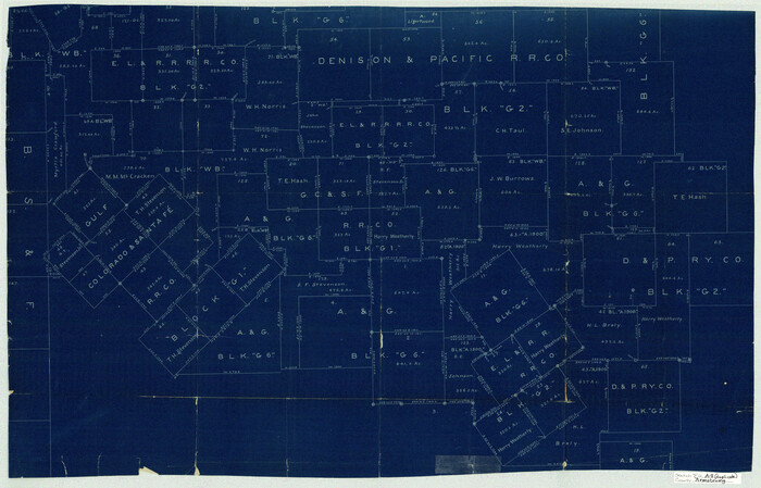
Armstrong County Sketch File A-8
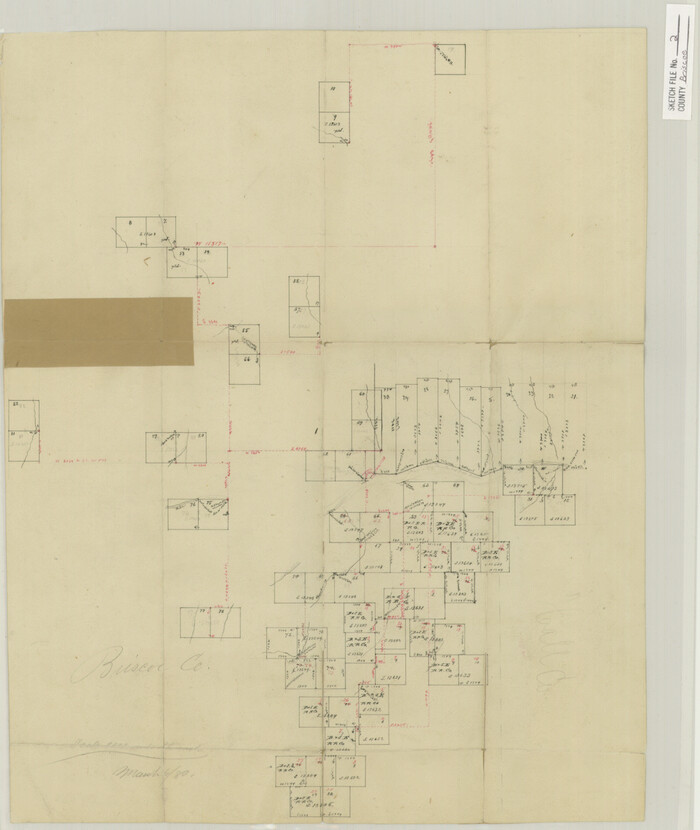
Briscoe County Sketch File 2
1880
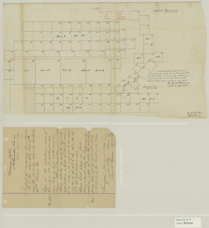
Briscoe County Sketch File 3
1885

Briscoe County Sketch File 4

Briscoe County Sketch File 5

Briscoe County Sketch File 6
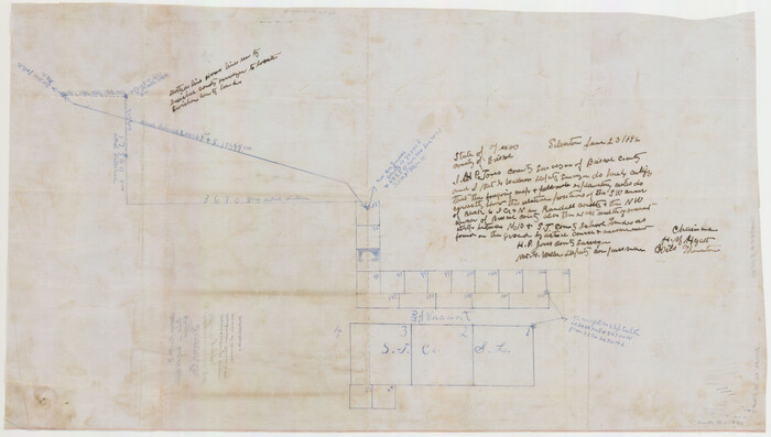
Briscoe County Sketch File 9
1896

Briscoe County Sketch File A
1894
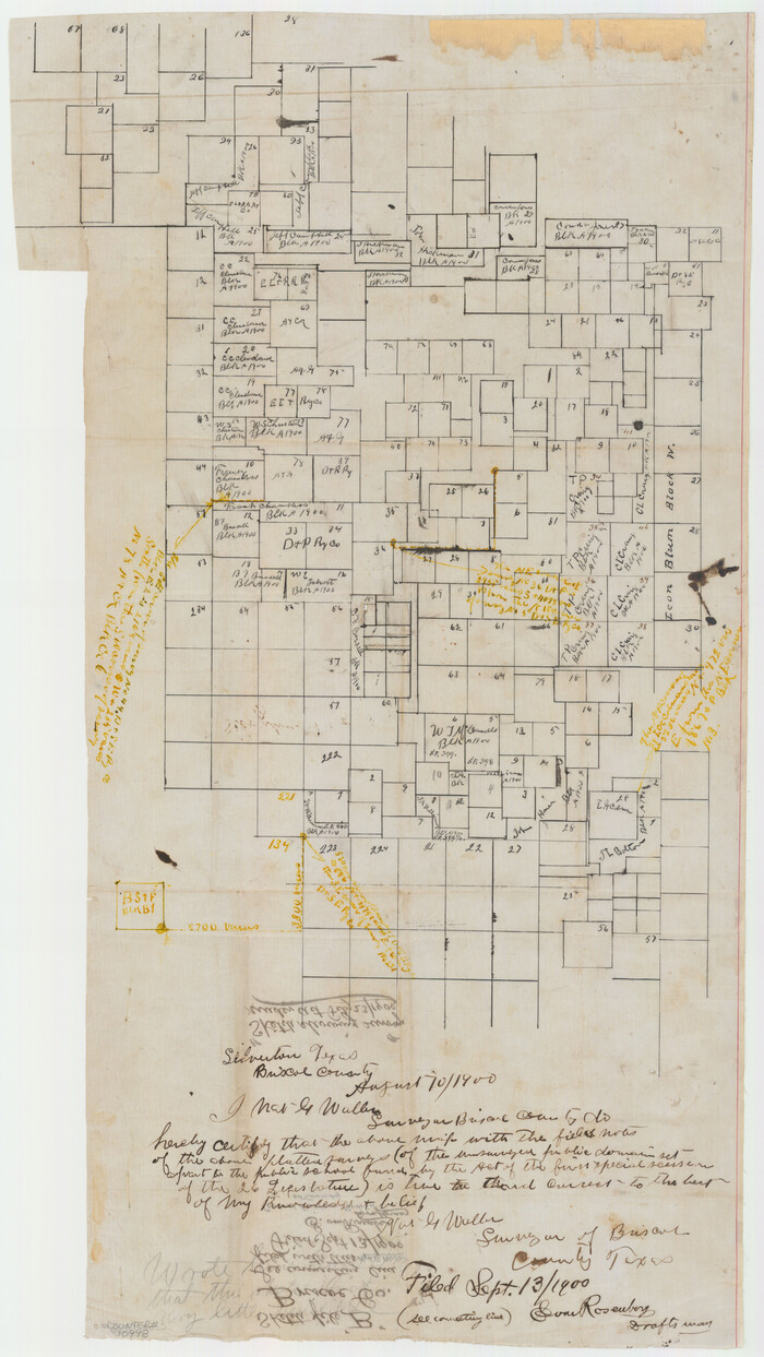
Briscoe County Sketch File B
1900

Briscoe County Sketch File C
1900

Briscoe County Sketch File D
1918
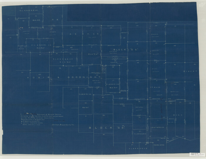
Briscoe County Sketch File E

Briscoe County Sketch File G
1918

Briscoe County Sketch File H
1917

Briscoe County Sketch File H-1

Briscoe County Sketch File J
1919
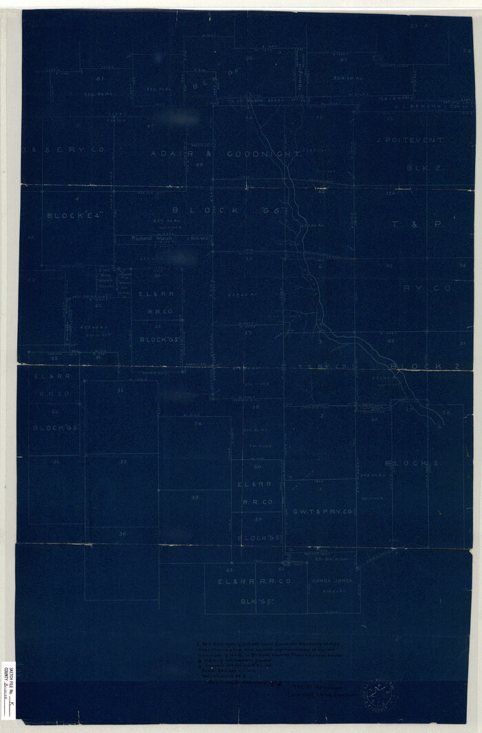
Briscoe County Sketch File K
1920
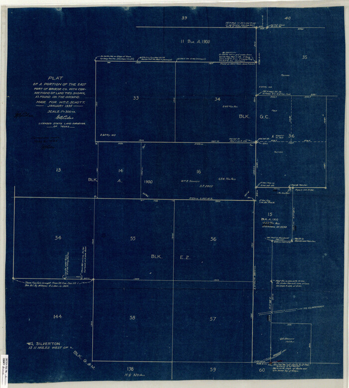
Briscoe County Sketch File L
1935

Briscoe County Sketch File M

Briscoe County Sketch File N
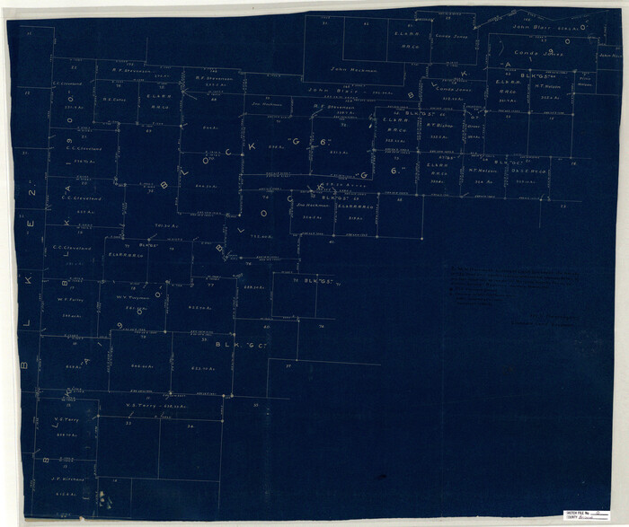
Briscoe County Sketch File O

Briscoe County Sketch File P

Donley County Sketch File B1

Donley County Sketch File B7
1919

Floyd County Sketch File 9
1901
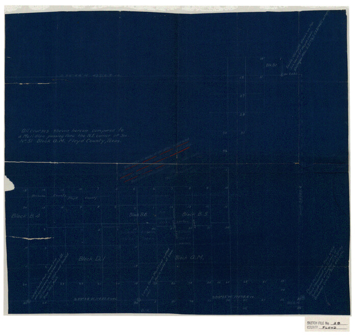
Floyd County Sketch File 28

Hall County Sketch File 10
1884

Armstrong County Sketch File A-12
-
Size
41.3 x 18.5 inches
-
Map/Doc
10374

Hale County Sketch File 26
1911
-
Size
20.7 x 54.4 inches
-
Map/Doc
10471
-
Creation Date
1911

Hall County Sketch File 6
1885
-
Size
28.2 x 37.9 inches
-
Map/Doc
10473
-
Creation Date
1885

Armstrong County Sketch File A-8
-
Size
21.3 x 33.2 inches
-
Map/Doc
10850

Briscoe County Sketch File 2
1880
-
Size
18.3 x 15.4 inches
-
Map/Doc
10991
-
Creation Date
1880

Briscoe County Sketch File 3
1885
-
Size
22.6 x 20.7 inches
-
Map/Doc
10992
-
Creation Date
1885

Briscoe County Sketch File 4
-
Size
26.0 x 33.5 inches
-
Map/Doc
10993

Briscoe County Sketch File 5
-
Size
29.8 x 26.5 inches
-
Map/Doc
10994

Briscoe County Sketch File 6
-
Size
29.8 x 24.6 inches
-
Map/Doc
10995

Briscoe County Sketch File 9
1896
-
Size
31.9 x 27.2 inches
-
Map/Doc
10996
-
Creation Date
1896

Briscoe County Sketch File A
1894
-
Size
17.3 x 21.1 inches
-
Map/Doc
10997
-
Creation Date
1894

Briscoe County Sketch File B
1900
-
Size
23.6 x 37.0 inches
-
Map/Doc
10998
-
Creation Date
1900

Briscoe County Sketch File C
1900
-
Size
20.4 x 35.6 inches
-
Map/Doc
11000
-
Creation Date
1900

Briscoe County Sketch File D
1918
-
Size
25.8 x 22.9 inches
-
Map/Doc
11001
-
Creation Date
1918

Briscoe County Sketch File E
-
Size
26.0 x 33.7 inches
-
Map/Doc
11003

Briscoe County Sketch File G
1918
-
Size
17.7 x 22.4 inches
-
Map/Doc
11004
-
Creation Date
1918

Briscoe County Sketch File H
1917
-
Size
17.2 x 13.2 inches
-
Map/Doc
11005
-
Creation Date
1917

Briscoe County Sketch File H-1
-
Size
21.7 x 18.2 inches
-
Map/Doc
11006

Briscoe County Sketch File J
1919
-
Size
19.3 x 32.0 inches
-
Map/Doc
11007
-
Creation Date
1919

Briscoe County Sketch File K
1920
-
Size
31.9 x 21.0 inches
-
Map/Doc
11008
-
Creation Date
1920

Briscoe County Sketch File L
1935
-
Size
30.4 x 27.4 inches
-
Map/Doc
11009
-
Creation Date
1935

Briscoe County Sketch File M
-
Size
36.1 x 28.0 inches
-
Map/Doc
11010

Briscoe County Sketch File N
-
Size
26.0 x 21.9 inches
-
Map/Doc
11012

Briscoe County Sketch File O
-
Size
27.1 x 32.4 inches
-
Map/Doc
11013

Briscoe County Sketch File P
-
Size
23.1 x 34.0 inches
-
Map/Doc
11014

Donley County Sketch File B1
-
Size
32.0 x 21.3 inches
-
Map/Doc
11371

Donley County Sketch File B7
1919
-
Size
25.5 x 32.4 inches
-
Map/Doc
11377
-
Creation Date
1919

Floyd County Sketch File 9
1901
-
Size
22.1 x 15.3 inches
-
Map/Doc
11484
-
Creation Date
1901

Floyd County Sketch File 28
-
Size
17.4 x 18.6 inches
-
Map/Doc
11487

Hall County Sketch File 10
1884
-
Size
19.6 x 22.1 inches
-
Map/Doc
11605
-
Creation Date
1884