
Briscoe County Working Sketch 12
1984

Briscoe County Sketch File 13
1982
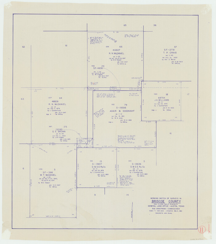
Briscoe County Working Sketch 11
1982
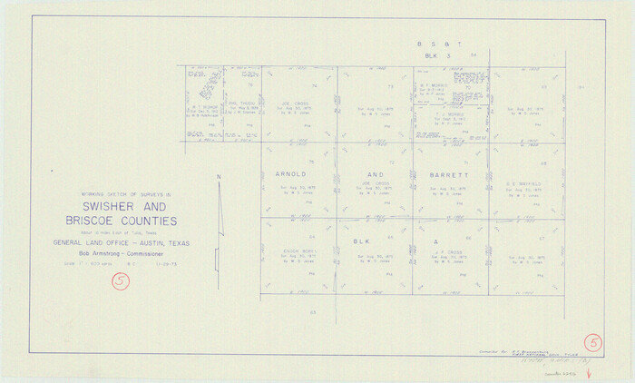
Swisher County Working Sketch 5
1973
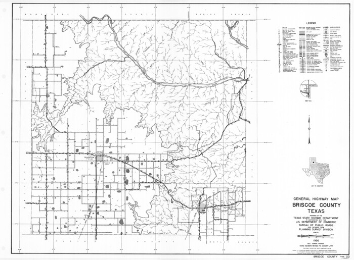
General Highway Map, Briscoe County, Texas
1961
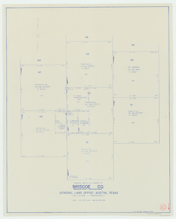
Briscoe County Working Sketch 10
1958
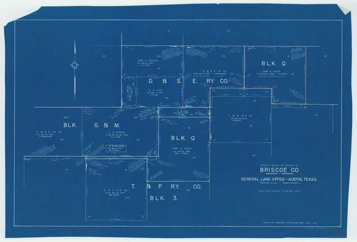
Briscoe County Working Sketch 9
1951
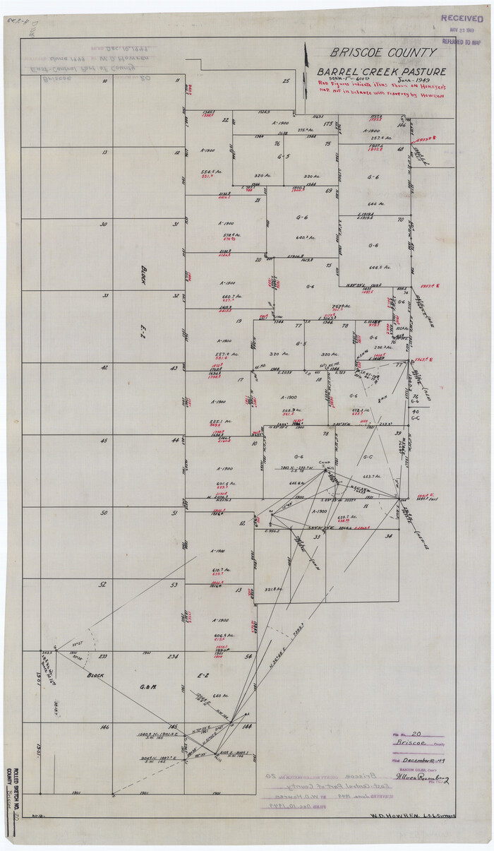
Briscoe County Rolled Sketch 20
1949
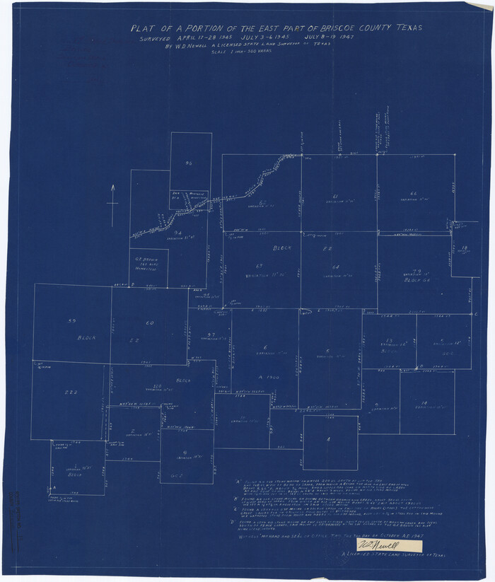
Briscoe County Rolled Sketch 19
1947
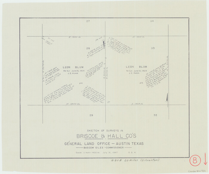
Briscoe County Working Sketch 8
1947

Briscoe County Rolled Sketch 17
1946

Briscoe County Rolled Sketch 18
1946
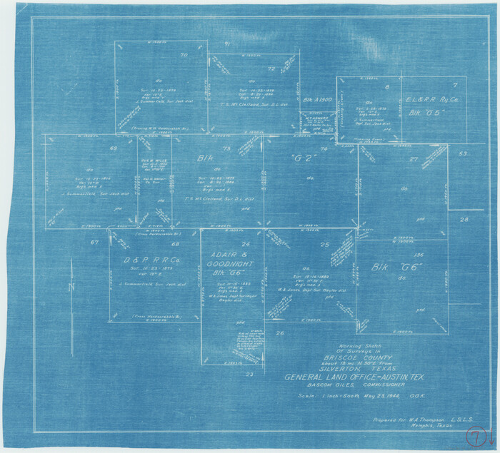
Briscoe County Working Sketch 7
1944

Briscoe County Working Sketch 6
1940

General Highway Map, Briscoe County, Texas
1940

Briscoe County Rolled Sketch WL
1936

Briscoe County Sketch File O-1
1935
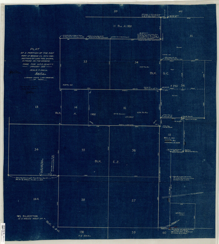
Briscoe County Sketch File L
1935
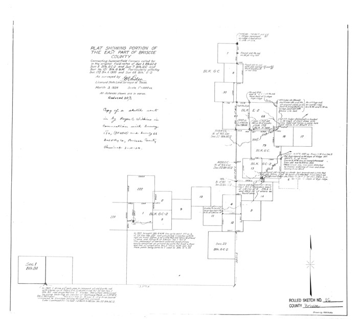
Briscoe County Rolled Sketch 16
1934
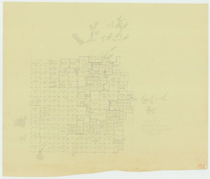
Briscoe County Working Sketch 5
1934
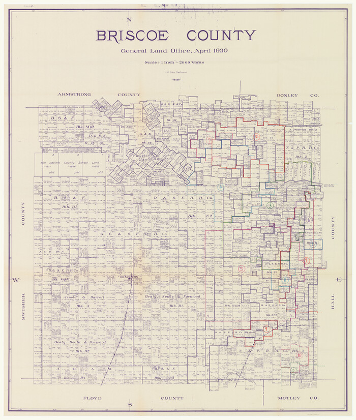
Briscoe County Working Sketch Graphic Index
1930

Briscoe County Rolled Sketch 14B
1929

Briscoe County Sketch File 12
1927
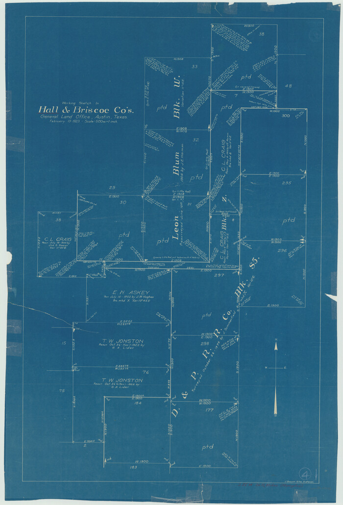
Hall County Working Sketch 4
1923
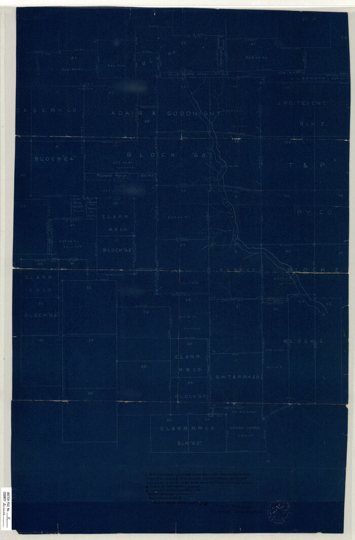
Briscoe County Sketch File K
1920

Briscoe County Sketch File J
1919

Briscoe County Working Sketch 12
1984
-
Size
43.6 x 60.3 inches
-
Map/Doc
67815
-
Creation Date
1984

Briscoe County Sketch File 13
1982
-
Size
11.2 x 8.7 inches
-
Map/Doc
16428
-
Creation Date
1982

Briscoe County Working Sketch 11
1982
-
Size
27.5 x 24.3 inches
-
Map/Doc
67814
-
Creation Date
1982

Swisher County Working Sketch 5
1973
-
Size
16.0 x 26.5 inches
-
Map/Doc
62416
-
Creation Date
1973

General Highway Map, Briscoe County, Texas
1961
-
Size
18.3 x 24.8 inches
-
Map/Doc
79387
-
Creation Date
1961

Briscoe County Working Sketch 10
1958
-
Size
30.0 x 24.2 inches
-
Map/Doc
67813
-
Creation Date
1958

Briscoe County Working Sketch 9
1951
-
Size
24.9 x 36.7 inches
-
Map/Doc
67812
-
Creation Date
1951

Briscoe County Rolled Sketch 20
1949
-
Size
37.4 x 21.7 inches
-
Map/Doc
5334
-
Creation Date
1949

Briscoe County Rolled Sketch 19
1947
-
Size
28.5 x 24.3 inches
-
Map/Doc
5333
-
Creation Date
1947

Briscoe County Working Sketch 8
1947
-
Size
13.2 x 15.8 inches
-
Map/Doc
67811
-
Creation Date
1947

Briscoe County Rolled Sketch 17
1946
-
Size
36.7 x 28.7 inches
-
Map/Doc
5331
-
Creation Date
1946

Briscoe County Rolled Sketch 18
1946
-
Size
36.7 x 27.3 inches
-
Map/Doc
5332
-
Creation Date
1946

Briscoe County Working Sketch 7
1944
-
Size
18.5 x 20.4 inches
-
Map/Doc
67810
-
Creation Date
1944

Briscoe County Working Sketch 6
1940
-
Size
31.0 x 24.5 inches
-
Map/Doc
67809
-
Creation Date
1940

General Highway Map, Briscoe County, Texas
1940
-
Size
18.5 x 24.9 inches
-
Map/Doc
79029
-
Creation Date
1940

Briscoe County Rolled Sketch WL
1936
-
Size
18.6 x 43.0 inches
-
Map/Doc
5335
-
Creation Date
1936

Briscoe County Sketch File O-1
1935
-
Size
11.3 x 7.2 inches
-
Map/Doc
16425
-
Creation Date
1935

Briscoe County Sketch File L
1935
-
Size
30.4 x 27.4 inches
-
Map/Doc
11009
-
Creation Date
1935

Briscoe County Rolled Sketch 16
1934
-
Size
17.8 x 19.9 inches
-
Map/Doc
5330
-
Creation Date
1934

Briscoe County Working Sketch 5
1934
-
Size
36.7 x 43.0 inches
-
Map/Doc
67808
-
Creation Date
1934
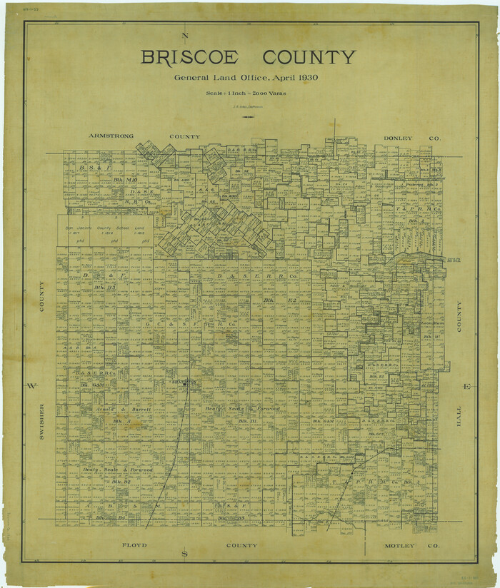
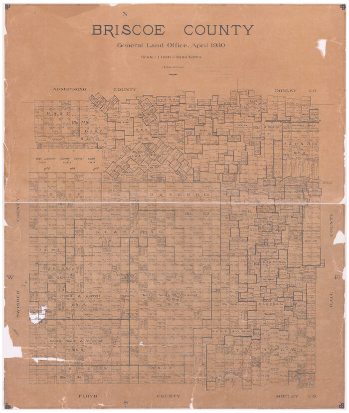
Briscoe County
1930
-
Size
46.2 x 39.2 inches
-
Map/Doc
1787
-
Creation Date
1930
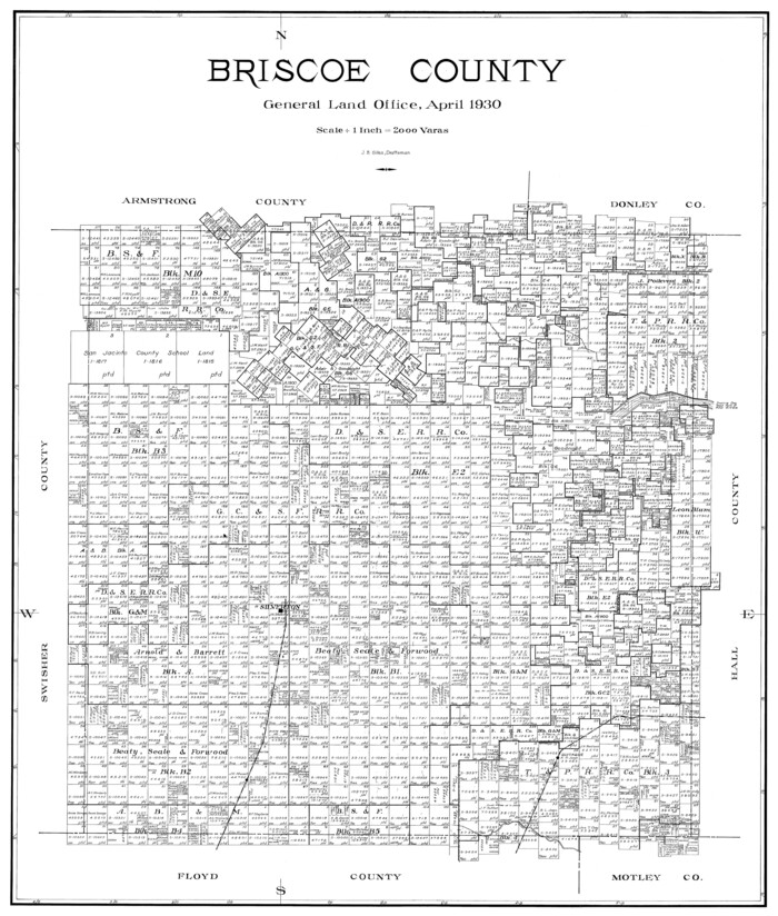
Briscoe County
1930
-
Size
42.0 x 35.8 inches
-
Map/Doc
73090
-
Creation Date
1930
Briscoe County
1930
-
Size
42.5 x 35.8 inches
-
Map/Doc
77222
-
Creation Date
1930

Briscoe County Working Sketch Graphic Index
1930
-
Size
43.8 x 37.4 inches
-
Map/Doc
76478
-
Creation Date
1930
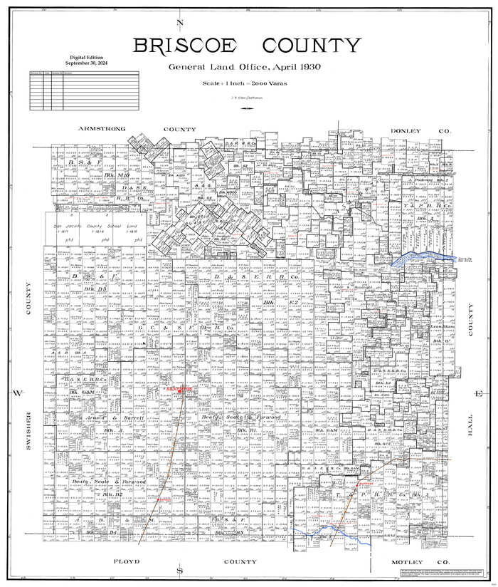
Briscoe County
1930
-
Size
42.3 x 35.8 inches
-
Map/Doc
95439
-
Creation Date
1930

Briscoe County Rolled Sketch 14B
1929
-
Size
32.6 x 37.3 inches
-
Map/Doc
8531
-
Creation Date
1929

Briscoe County Sketch File 12
1927
-
Size
11.2 x 8.8 inches
-
Map/Doc
16426
-
Creation Date
1927

Hall County Working Sketch 4
1923
-
Size
29.0 x 19.7 inches
-
Map/Doc
63332
-
Creation Date
1923

Briscoe County Sketch File K
1920
-
Size
31.9 x 21.0 inches
-
Map/Doc
11008
-
Creation Date
1920

Briscoe County Sketch File J
1919
-
Size
19.3 x 32.0 inches
-
Map/Doc
11007
-
Creation Date
1919