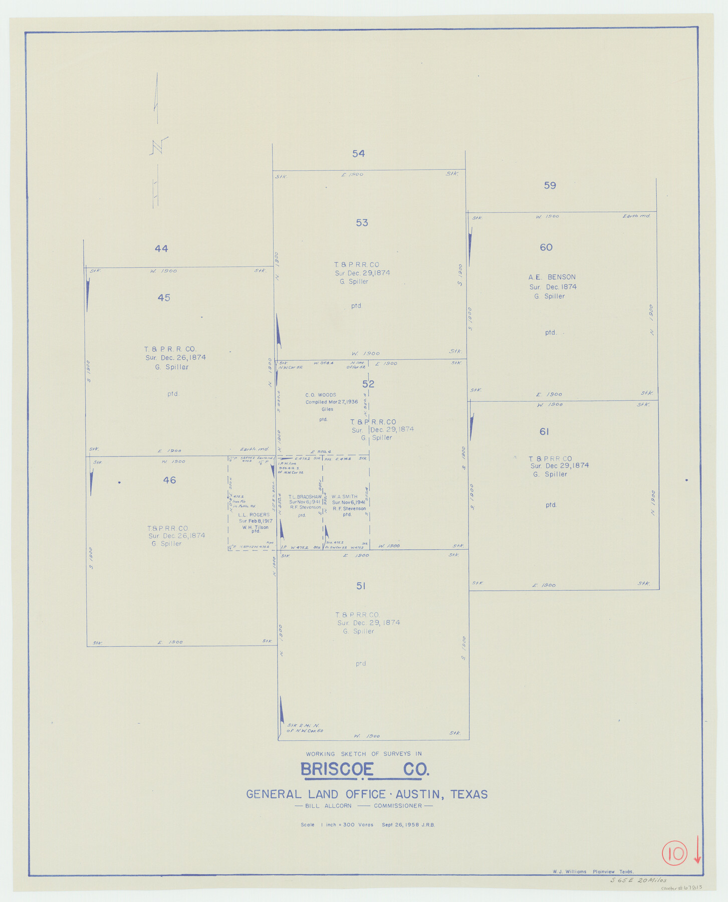
Briscoe County Working Sketch 10
-
Map/Doc
67813
-
Collection
General Map Collection
-
Object Dates
9/26/1958 (Creation Date)
-
Counties
Briscoe
-
Subjects
Surveying Working Sketch
-
Height x Width
30.0 x 24.2 inches
76.2 x 61.5 cm
-
Scale
1" = 300 varas
Part of: General Map Collection
Houston County Sketch File 40

Print $40.00
- Digital $50.00
Houston County Sketch File 40
Size 16.3 x 12.1 inches
Map/Doc 26826
Kaufman County Boundary File 3a

Print $28.00
- Digital $50.00
Kaufman County Boundary File 3a
Size 14.2 x 8.6 inches
Map/Doc 55929
Public Land on Mustang Island, Nueces County

Print $20.00
- Digital $50.00
Public Land on Mustang Island, Nueces County
1945
Size 43.4 x 40.1 inches
Map/Doc 73335
Hardin County Working Sketch 13

Print $20.00
- Digital $50.00
Hardin County Working Sketch 13
1934
Size 25.5 x 17.6 inches
Map/Doc 63411
Galveston County NRC Article 33.136 Sketch 85

Print $42.00
- Digital $50.00
Galveston County NRC Article 33.136 Sketch 85
2015
Size 36.4 x 24.5 inches
Map/Doc 94965
Chambers County Working Sketch 23

Print $20.00
- Digital $50.00
Chambers County Working Sketch 23
1979
Size 14.9 x 23.5 inches
Map/Doc 68006
Reagan County Sketch File 34

Print $4.00
- Digital $50.00
Reagan County Sketch File 34
Size 11.5 x 8.9 inches
Map/Doc 35030
Duval County Working Sketch 50

Print $20.00
- Digital $50.00
Duval County Working Sketch 50
1984
Size 38.0 x 32.0 inches
Map/Doc 68774
Dallas County Boundary File 6

Print $10.00
- Digital $50.00
Dallas County Boundary File 6
Size 11.1 x 8.5 inches
Map/Doc 52184
Pecos County Rolled Sketch 184

Print $20.00
- Digital $50.00
Pecos County Rolled Sketch 184
1977
Size 44.4 x 30.0 inches
Map/Doc 7303
Dickens County

Print $20.00
- Digital $50.00
Dickens County
1880
Size 20.8 x 19.1 inches
Map/Doc 3485
Gregg County Working Sketch 10

Print $20.00
- Digital $50.00
Gregg County Working Sketch 10
1939
Size 34.1 x 26.4 inches
Map/Doc 63276
You may also like
Flight Mission No. BQR-13K, Frame 20, Brazoria County

Print $20.00
- Digital $50.00
Flight Mission No. BQR-13K, Frame 20, Brazoria County
1952
Size 18.9 x 22.5 inches
Map/Doc 84068
McCulloch County Sketch File 5A

Print $20.00
- Digital $50.00
McCulloch County Sketch File 5A
Size 14.8 x 17.4 inches
Map/Doc 12056
Paul McCombs Field Book on 80 Mile Reservation west of the Pecos

Print $148.00
- Digital $50.00
Paul McCombs Field Book on 80 Mile Reservation west of the Pecos
1883
Size 7.8 x 6.0 inches
Map/Doc 2238
Hamilton County Sketch File 3

Print $4.00
- Digital $50.00
Hamilton County Sketch File 3
1852
Size 12.7 x 8.0 inches
Map/Doc 24901
Cass County Rolled Sketch 8

Print $20.00
- Digital $50.00
Cass County Rolled Sketch 8
Size 28.8 x 17.6 inches
Map/Doc 77522
Burnet County Working Sketch 21

Print $20.00
- Digital $50.00
Burnet County Working Sketch 21
1983
Size 47.6 x 28.4 inches
Map/Doc 67864
South Part Brewster Co.

Print $40.00
- Digital $50.00
South Part Brewster Co.
1910
Size 32.0 x 49.7 inches
Map/Doc 66728
Kimble County Sketch File 4

Print $8.00
- Digital $50.00
Kimble County Sketch File 4
1847
Size 7.9 x 12.1 inches
Map/Doc 28912
Lampasas County Sketch File 1

Print $4.00
- Digital $50.00
Lampasas County Sketch File 1
Size 12.6 x 8.1 inches
Map/Doc 29388
Flight Mission No. BRA-6M, Frame 87, Jefferson County

Print $20.00
- Digital $50.00
Flight Mission No. BRA-6M, Frame 87, Jefferson County
1953
Size 18.5 x 22.3 inches
Map/Doc 85430
Dominion of Canada and Newfoundland

Print $20.00
- Digital $50.00
Dominion of Canada and Newfoundland
1885
Size 12.2 x 9.0 inches
Map/Doc 93513
Montague County

Print $20.00
- Digital $50.00
Montague County
1924
Size 46.4 x 33.7 inches
Map/Doc 77376