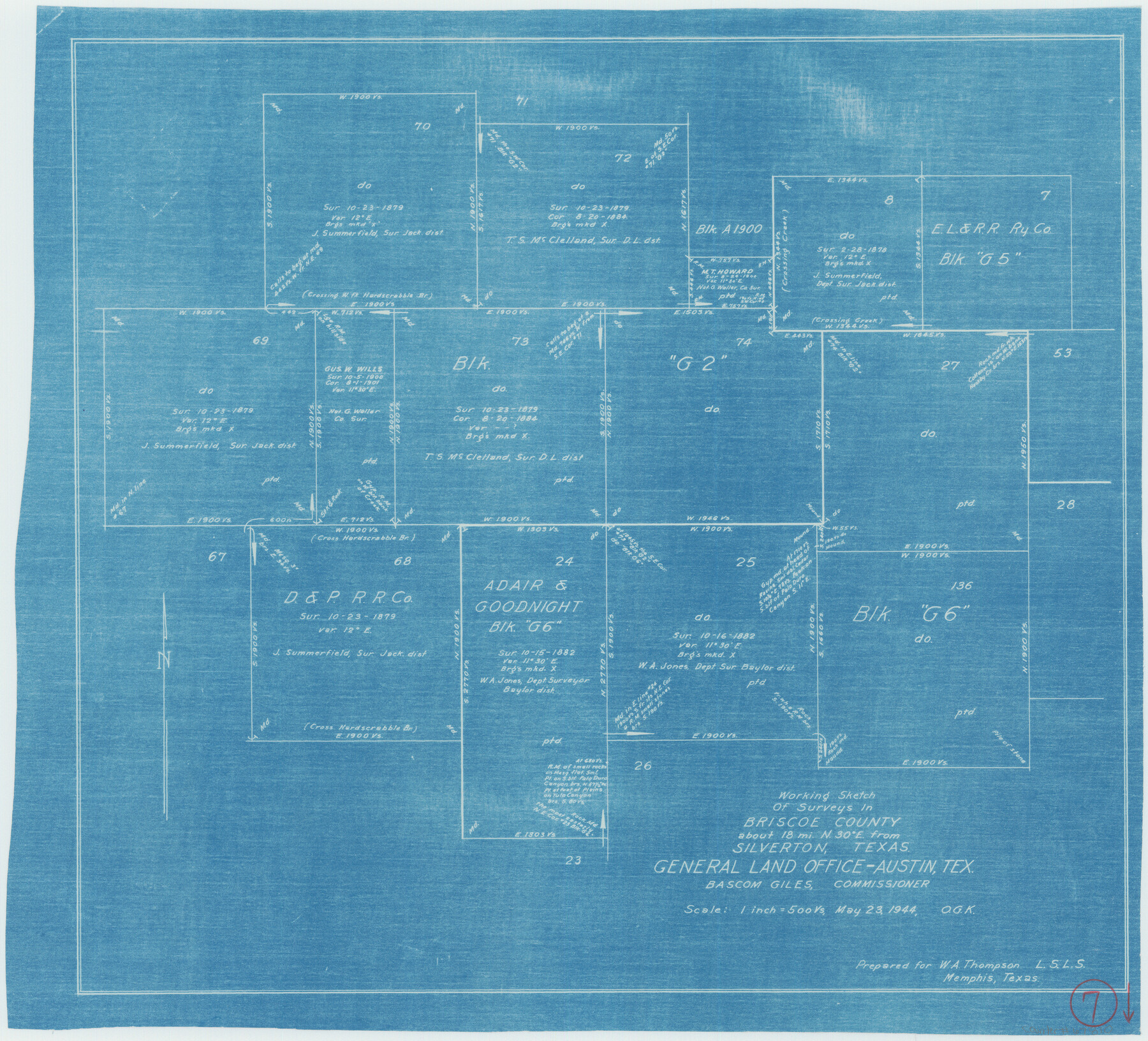
Briscoe County Working Sketch 7
-
Map/Doc
67810
-
Collection
General Map Collection
-
Object Dates
5/23/1944 (Creation Date)
-
People and Organizations
Otto G. Kurio (Draftsman)
-
Counties
Briscoe
-
Subjects
Surveying Working Sketch
-
Height x Width
18.5 x 20.4 inches
47.0 x 51.8 cm
-
Scale
1" = 500 varas
Part of: General Map Collection
San Saba County Rolled Sketch 3

Print $20.00
- Digital $50.00
San Saba County Rolled Sketch 3
Size 31.9 x 43.3 inches
Map/Doc 7744
Angelina County Sketch File 7

Print $40.00
- Digital $50.00
Angelina County Sketch File 7
1858
Size 15.5 x 35.8 inches
Map/Doc 10812
Flight Mission No. CUI-1H, Frame 169, Milam County

Print $20.00
- Digital $50.00
Flight Mission No. CUI-1H, Frame 169, Milam County
1951
Size 18.7 x 22.6 inches
Map/Doc 86611
Presidio County Sketch File 66

Print $6.00
- Digital $50.00
Presidio County Sketch File 66
1940
Size 11.4 x 8.7 inches
Map/Doc 34656
Harris County Sketch File 74

Print $22.00
- Digital $50.00
Harris County Sketch File 74
1944
Size 17.1 x 12.2 inches
Map/Doc 25543
Scurry County Working Sketch 7

Print $20.00
- Digital $50.00
Scurry County Working Sketch 7
1971
Size 33.5 x 29.0 inches
Map/Doc 63836
Galveston County NRC Article 33.136 Sketch 98

Print $32.00
Galveston County NRC Article 33.136 Sketch 98
2024
Map/Doc 97409
Rio Grande, Lower Rio Grande Valley/Bulletin 29-A

Print $4.00
- Digital $50.00
Rio Grande, Lower Rio Grande Valley/Bulletin 29-A
1937
Size 12.1 x 24.0 inches
Map/Doc 65103
Pecos County Rolled Sketch 34

Print $20.00
- Digital $50.00
Pecos County Rolled Sketch 34
1891
Size 26.1 x 40.4 inches
Map/Doc 7215
No. 1 - Survey for a road from the Brazo Santiago to the Rio Grande

Print $20.00
- Digital $50.00
No. 1 - Survey for a road from the Brazo Santiago to the Rio Grande
1847
Size 18.3 x 27.0 inches
Map/Doc 72873
Upton County Rolled Sketch 2

Print $20.00
- Digital $50.00
Upton County Rolled Sketch 2
1884
Size 26.2 x 36.1 inches
Map/Doc 8065
Panola County Working Sketch 17

Print $40.00
- Digital $50.00
Panola County Working Sketch 17
1945
Map/Doc 71426
You may also like
Dawson County Sketch File 26

Print $10.00
- Digital $50.00
Dawson County Sketch File 26
Size 14.7 x 9.1 inches
Map/Doc 20583
Orange County Sabine River Leases 1,2,3,4

Print $20.00
- Digital $50.00
Orange County Sabine River Leases 1,2,3,4
1950
Size 36.5 x 22.4 inches
Map/Doc 1931
Eastland County Working Sketch 7

Print $3.00
- Digital $50.00
Eastland County Working Sketch 7
1918
Size 15.6 x 10.7 inches
Map/Doc 68788
Liberty County Working Sketch 77

Print $20.00
- Digital $50.00
Liberty County Working Sketch 77
Size 37.4 x 45.9 inches
Map/Doc 70537
Topography of the Colorado River in the City of Austin

Print $4.00
- Digital $50.00
Topography of the Colorado River in the City of Austin
1941
Size 18.7 x 29.6 inches
Map/Doc 65326
Willacy County Aerial Photograph Index Sheet 5

Print $20.00
- Digital $50.00
Willacy County Aerial Photograph Index Sheet 5
1940
Size 20.1 x 24.4 inches
Map/Doc 83758
Freestone County Working Sketch 7

Print $20.00
- Digital $50.00
Freestone County Working Sketch 7
1951
Size 32.8 x 24.4 inches
Map/Doc 69249
Part of original sketch of Block "H" W. & N. W. Ry. Co. Cottle County

Print $20.00
- Digital $50.00
Part of original sketch of Block "H" W. & N. W. Ry. Co. Cottle County
Size 14.3 x 15.6 inches
Map/Doc 613
Johnson County Working Sketch 31

Print $20.00
- Digital $50.00
Johnson County Working Sketch 31
2007
Size 21.2 x 22.0 inches
Map/Doc 87499
San Patricio County Rolled Sketch 38

Print $20.00
- Digital $50.00
San Patricio County Rolled Sketch 38
1950
Size 15.6 x 15.7 inches
Map/Doc 7588
[Map of the Texas & Pacific Railway and connections]
![95414, [Map of the Texas & Pacific Railway and connections], Holcomb Digital Map Collection](https://historictexasmaps.com/wmedia_w700/maps/95414.tif.jpg)
Print $20.00
- Digital $50.00
[Map of the Texas & Pacific Railway and connections]
1902
Size 18.0 x 37.0 inches
Map/Doc 95414
[Sketch Showing Surveys north of South Canadian River, Hemphill County, Texas]
![10759, [Sketch Showing Surveys north of South Canadian River, Hemphill County, Texas], Maddox Collection](https://historictexasmaps.com/wmedia_w700/maps/10759-GC.tif.jpg)
Print $3.00
- Digital $50.00
[Sketch Showing Surveys north of South Canadian River, Hemphill County, Texas]
Size 9.8 x 14.9 inches
Map/Doc 10759