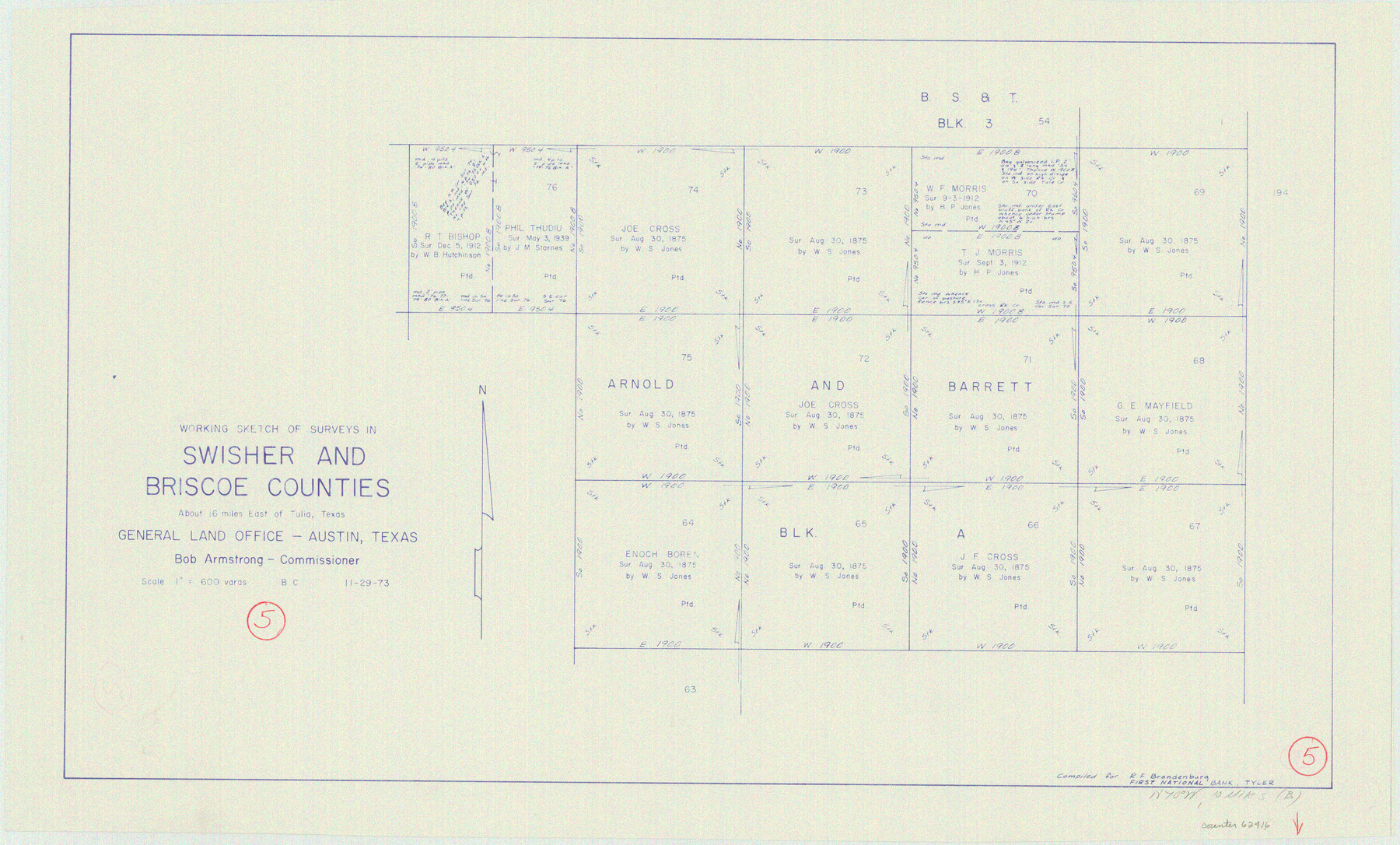
Swisher County Working Sketch 5
-
Map/Doc
62416
-
Collection
General Map Collection
-
Object Dates
11/29/1973 (Creation Date)
-
Counties
Swisher Briscoe
-
Subjects
Surveying Working Sketch
-
Height x Width
16.0 x 26.5 inches
40.6 x 67.3 cm
-
Scale
1" = 600 varas
Part of: General Map Collection
Van Zandt County Sketch File 14

Print $4.00
- Digital $50.00
Van Zandt County Sketch File 14
1858
Size 7.9 x 8.1 inches
Map/Doc 39404
Flight Mission No. CUG-3P, Frame 166, Kleberg County

Print $20.00
- Digital $50.00
Flight Mission No. CUG-3P, Frame 166, Kleberg County
1956
Size 18.6 x 22.3 inches
Map/Doc 86286
Hutchinson County Rolled Sketch 42

Print $40.00
- Digital $50.00
Hutchinson County Rolled Sketch 42
1993
Size 38.0 x 49.6 inches
Map/Doc 6308
Pecos County Sketch File 37

Print $4.00
- Digital $50.00
Pecos County Sketch File 37
1911
Size 8.9 x 8.3 inches
Map/Doc 33718
[McMullen and Live Oak County]
![10789, [McMullen and Live Oak County], General Map Collection](https://historictexasmaps.com/wmedia_w700/maps/10789.tif.jpg)
Print $20.00
- Digital $50.00
[McMullen and Live Oak County]
1870
Size 34.3 x 36.0 inches
Map/Doc 10789
Flight Mission No. DQN-6K, Frame 8, Calhoun County

Print $20.00
- Digital $50.00
Flight Mission No. DQN-6K, Frame 8, Calhoun County
1953
Size 18.5 x 22.1 inches
Map/Doc 84430
Navigation Maps of Gulf Intracoastal Waterway, Port Arthur to Brownsville, Texas

Print $20.00
- Digital $50.00
Navigation Maps of Gulf Intracoastal Waterway, Port Arthur to Brownsville, Texas
1951
Size 16.7 x 21.4 inches
Map/Doc 65417
Shackelford County Sketch File 15

Print $16.00
- Digital $50.00
Shackelford County Sketch File 15
1998
Size 14.2 x 8.8 inches
Map/Doc 62202
Nueces County Working Sketch 11

Print $20.00
- Digital $50.00
Nueces County Working Sketch 11
1965
Size 20.2 x 44.1 inches
Map/Doc 71313
Hopkins County Sketch File 22

Print $4.00
- Digital $50.00
Hopkins County Sketch File 22
1870
Size 10.2 x 8.1 inches
Map/Doc 26730
Flight Mission No. CRC-4R, Frame 68, Chambers County

Print $20.00
- Digital $50.00
Flight Mission No. CRC-4R, Frame 68, Chambers County
1956
Size 18.7 x 22.5 inches
Map/Doc 84872

You may also like
[Blocks C4, SI, and JK]
![90778, [Blocks C4, SI, and JK], Twichell Survey Records](https://historictexasmaps.com/wmedia_w700/maps/90778-1.tif.jpg)
Print $20.00
- Digital $50.00
[Blocks C4, SI, and JK]
Size 15.0 x 13.3 inches
Map/Doc 90778
Webb County Working Sketch 8

Print $20.00
- Digital $50.00
Webb County Working Sketch 8
1911
Size 43.1 x 39.9 inches
Map/Doc 72373
Galveston County Sketch File 17

Print $2.00
- Digital $50.00
Galveston County Sketch File 17
1893
Size 10.5 x 8.9 inches
Map/Doc 23387
Menard County Rolled Sketch 6

Print $20.00
- Digital $50.00
Menard County Rolled Sketch 6
Size 17.3 x 21.2 inches
Map/Doc 6755
Duval County Sketch File 63

Print $4.00
- Digital $50.00
Duval County Sketch File 63
Size 14.5 x 8.9 inches
Map/Doc 21436
Rio Vista Annex, An Addition to the City of Lubbock

Print $20.00
- Digital $50.00
Rio Vista Annex, An Addition to the City of Lubbock
1947
Size 19.4 x 12.6 inches
Map/Doc 92754
Andrews County

Print $40.00
- Digital $50.00
Andrews County
1951
Size 43.0 x 54.4 inches
Map/Doc 77199
Young County Working Sketch 16

Print $20.00
- Digital $50.00
Young County Working Sketch 16
1955
Size 23.8 x 21.7 inches
Map/Doc 62039
Johnson County Working Sketch 18

Print $20.00
- Digital $50.00
Johnson County Working Sketch 18
1985
Size 18.3 x 26.0 inches
Map/Doc 66631
M. C. Lindsey's Subdivision of Block 20 College Addition to Lamesa, Texas

Print $20.00
- Digital $50.00
M. C. Lindsey's Subdivision of Block 20 College Addition to Lamesa, Texas
1953
Size 9.6 x 18.2 inches
Map/Doc 92589
Falls County Sketch File 3

Print $3.00
- Digital $50.00
Falls County Sketch File 3
1847
Size 10.8 x 16.5 inches
Map/Doc 11465
Flight Mission No. CUG-3P, Frame 92, Kleberg County

Print $20.00
- Digital $50.00
Flight Mission No. CUG-3P, Frame 92, Kleberg County
1956
Size 18.4 x 22.2 inches
Map/Doc 86262