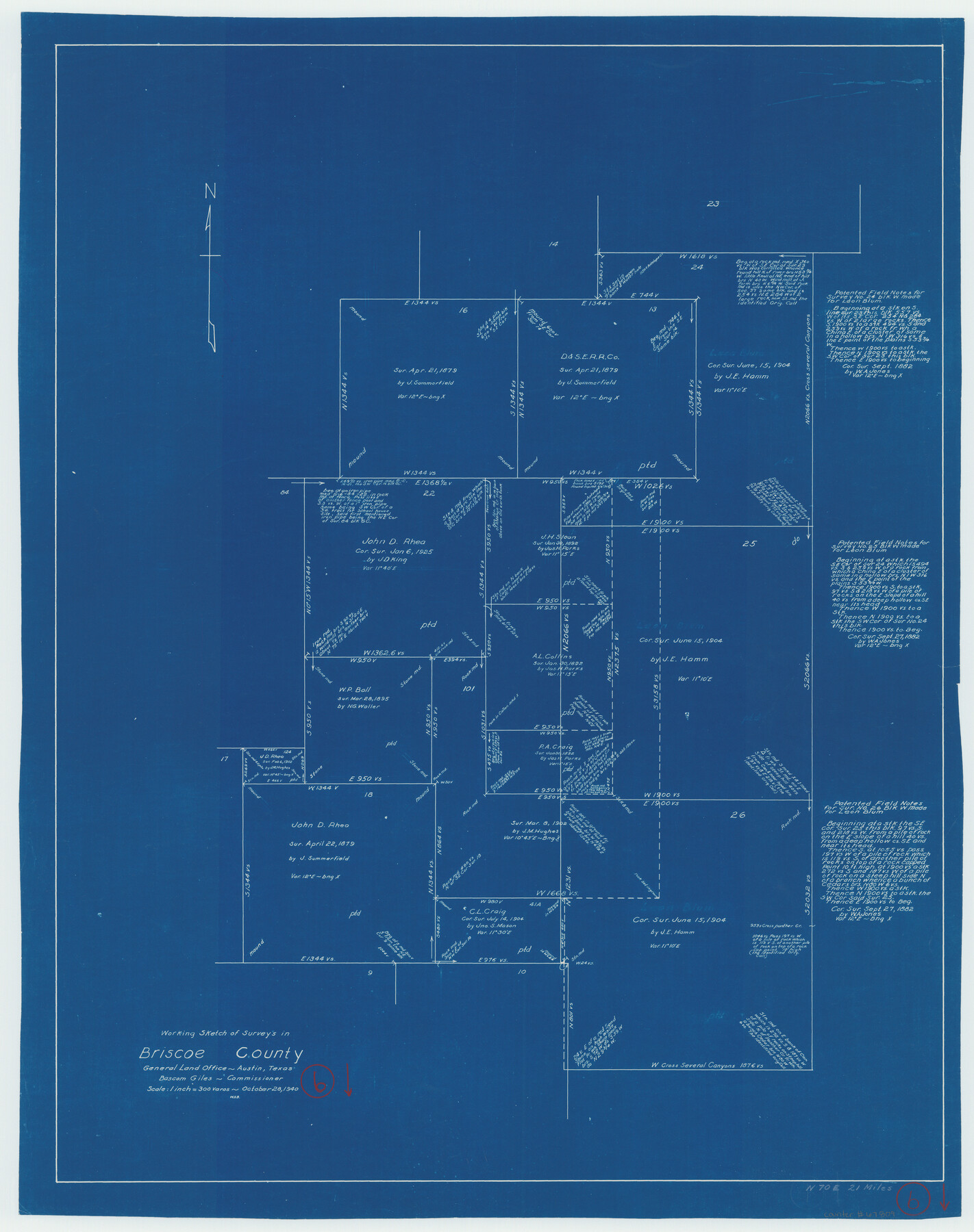
Briscoe County Working Sketch 6
-
Map/Doc
67809
-
Collection
General Map Collection
-
Object Dates
10/28/1940 (Creation Date)
-
People and Organizations
W. S. Brewington (Draftsman)
-
Counties
Briscoe
-
Subjects
Surveying Working Sketch
-
Height x Width
31.0 x 24.5 inches
78.7 x 62.2 cm
-
Scale
1" = 300 varas
Part of: General Map Collection

Jackson County Sketch File 22

Print $10.00
- Digital $50.00
Jackson County Sketch File 22
Size 11.2 x 8.7 inches
Map/Doc 27698
Right of Way and Track Map, The Missouri, Kansas and Texas Ry. of Texas operated by the Missouri, Kansas and Texas Ry. of Texas, Henrietta Division

Print $40.00
- Digital $50.00
Right of Way and Track Map, The Missouri, Kansas and Texas Ry. of Texas operated by the Missouri, Kansas and Texas Ry. of Texas, Henrietta Division
1918
Size 25.4 x 56.3 inches
Map/Doc 64068
Jeff Davis County Sketch File 42

Print $20.00
- Digital $50.00
Jeff Davis County Sketch File 42
Size 21.8 x 27.9 inches
Map/Doc 11867
The Making of America - Northern Plains

The Making of America - Northern Plains
Size 20.7 x 27.3 inches
Map/Doc 95943
Nueces County Sketch File 42

Print $24.00
- Digital $50.00
Nueces County Sketch File 42
1950
Size 11.0 x 8.6 inches
Map/Doc 32633
Collin County State Real Property Sketch 1

Print $20.00
- Digital $50.00
Collin County State Real Property Sketch 1
2006
Size 24.1 x 35.1 inches
Map/Doc 88634
Gaines County Rolled Sketch 10

Print $20.00
- Digital $50.00
Gaines County Rolled Sketch 10
1905
Size 16.4 x 35.8 inches
Map/Doc 5930
Flight Mission No. BRA-7M, Frame 10, Jefferson County

Print $20.00
- Digital $50.00
Flight Mission No. BRA-7M, Frame 10, Jefferson County
1953
Size 18.7 x 22.4 inches
Map/Doc 85461
Webb County Working Sketch 97

Print $20.00
- Digital $50.00
Webb County Working Sketch 97
1994
Size 27.1 x 30.6 inches
Map/Doc 72464
Upton County Rolled Sketch 38

Print $20.00
- Digital $50.00
Upton County Rolled Sketch 38
1953
Size 21.1 x 28.0 inches
Map/Doc 8078
Shelby County

Print $20.00
- Digital $50.00
Shelby County
1945
Size 39.1 x 44.2 inches
Map/Doc 77421
You may also like
Val Verde County Working Sketch 117

Print $20.00
- Digital $50.00
Val Verde County Working Sketch 117
1993
Size 13.5 x 36.7 inches
Map/Doc 82847
Upshur County Rolled Sketch 4

Print $20.00
- Digital $50.00
Upshur County Rolled Sketch 4
1972
Size 25.4 x 37.9 inches
Map/Doc 8063
Township 1 North Range 12 West, North Western District, Louisiana

Print $20.00
- Digital $50.00
Township 1 North Range 12 West, North Western District, Louisiana
1884
Size 19.7 x 24.6 inches
Map/Doc 65877
Dimmit County Sketch File 19 1/2a

Print $12.00
- Digital $50.00
Dimmit County Sketch File 19 1/2a
1887
Size 14.2 x 8.8 inches
Map/Doc 21094
Jackson County Sketch File 4

Print $20.00
- Digital $50.00
Jackson County Sketch File 4
Size 18.2 x 22.7 inches
Map/Doc 11834
Intracoastal Waterway in Texas - Corpus Christi to Point Isabel including Arroyo Colorado to Mo. Pac. R.R. Bridge Near Harlingen

Print $20.00
- Digital $50.00
Intracoastal Waterway in Texas - Corpus Christi to Point Isabel including Arroyo Colorado to Mo. Pac. R.R. Bridge Near Harlingen
1934
Size 21.9 x 33.5 inches
Map/Doc 61882
Tom Green County Sketch File 81

Print $20.00
- Digital $50.00
Tom Green County Sketch File 81
Size 16.6 x 23.4 inches
Map/Doc 12453
Hudspeth County Working Sketch 58

Print $40.00
- Digital $50.00
Hudspeth County Working Sketch 58
1992
Size 25.6 x 50.9 inches
Map/Doc 66343
Kleberg County Aerial Photograph Index Sheet 7

Print $20.00
- Digital $50.00
Kleberg County Aerial Photograph Index Sheet 7
1956
Size 24.0 x 20.1 inches
Map/Doc 83724
Map of subdivision of submerged land in the Gulf of Mexico fronting on Matagorda Island and Peninsula

Print $40.00
- Digital $50.00
Map of subdivision of submerged land in the Gulf of Mexico fronting on Matagorda Island and Peninsula
1940
Size 28.3 x 60.5 inches
Map/Doc 2928
Crockett County Sketch File 94

Print $6.00
- Digital $50.00
Crockett County Sketch File 94
1940
Size 9.2 x 12.3 inches
Map/Doc 19950
Angelina County Rolled Sketch 2

Print $20.00
- Digital $50.00
Angelina County Rolled Sketch 2
1948
Size 21.9 x 20.1 inches
Map/Doc 77185