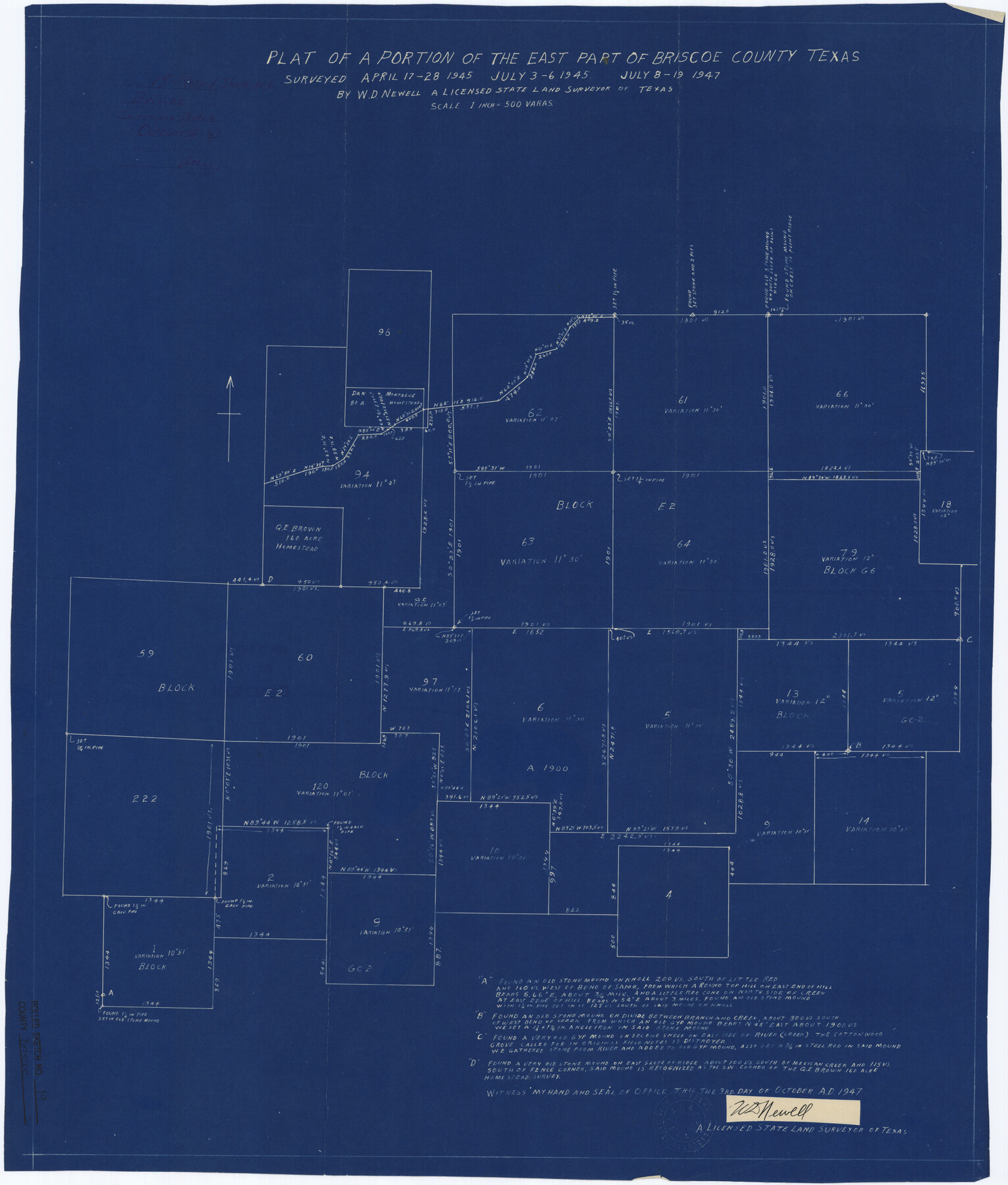
Briscoe County Rolled Sketch 19
Plat of a portion of the east part of Briscoe County, Texas
-
Map/Doc
5333
-
Collection
General Map Collection
-
Object Dates
1947/7/19 (Creation Date)
1947/10/14 (File Date)
-
People and Organizations
W.D. Newell (Surveyor/Engineer)
-
Counties
Briscoe
-
Subjects
Surveying Rolled Sketch
-
Height x Width
28.5 x 24.3 inches
72.4 x 61.7 cm
-
Medium
blueprint/diazo
-
Scale
1" = 500 varas
Part of: General Map Collection
Right of Way and Track Map, the Missouri, Kansas and Texas Ry. of Texas operated by the Missouri, Kansas and Texas Ry. of Texas, Henrietta Division

Print $40.00
- Digital $50.00
Right of Way and Track Map, the Missouri, Kansas and Texas Ry. of Texas operated by the Missouri, Kansas and Texas Ry. of Texas, Henrietta Division
1918
Size 25.1 x 56.4 inches
Map/Doc 64065
Guadalupe County Sketch File 10

Print $4.00
- Digital $50.00
Guadalupe County Sketch File 10
1862
Size 8.7 x 14.5 inches
Map/Doc 24679
Pecos County Rolled Sketch 112

Print $20.00
- Digital $50.00
Pecos County Rolled Sketch 112
1941
Size 39.0 x 37.0 inches
Map/Doc 9720
Presidio County Rolled Sketch 100

Print $20.00
- Digital $50.00
Presidio County Rolled Sketch 100
1954
Size 30.4 x 30.2 inches
Map/Doc 7382
Flight Mission No. CUG-3P, Frame 133, Kleberg County

Print $20.00
- Digital $50.00
Flight Mission No. CUG-3P, Frame 133, Kleberg County
1956
Size 18.7 x 22.2 inches
Map/Doc 86268
Aransas County Rolled Sketch 19B

Print $20.00
- Digital $50.00
Aransas County Rolled Sketch 19B
1979
Size 25.7 x 18.7 inches
Map/Doc 76077
Official Highway Map of Texas

Print $5.00
- Digital $50.00
Official Highway Map of Texas
1926
Size 25.0 x 30.1 inches
Map/Doc 93718
Andrews County Rolled Sketch 28

Print $20.00
- Digital $50.00
Andrews County Rolled Sketch 28
1948
Size 17.0 x 25.5 inches
Map/Doc 77172
Val Verde County Rolled Sketch 71

Print $20.00
- Digital $50.00
Val Verde County Rolled Sketch 71
1958
Size 19.5 x 19.5 inches
Map/Doc 8133
Eastland County Sketch File 2b

Print $6.00
- Digital $50.00
Eastland County Sketch File 2b
1857
Size 11.1 x 8.8 inches
Map/Doc 21563
Crane County Working Sketch 31

Print $20.00
- Digital $50.00
Crane County Working Sketch 31
1982
Size 34.3 x 37.7 inches
Map/Doc 68308
Burnet County Sketch File 21

Print $4.00
- Digital $50.00
Burnet County Sketch File 21
Size 8.4 x 6.6 inches
Map/Doc 16714
You may also like
Hidalgo County Working Sketch 7

Print $40.00
- Digital $50.00
Hidalgo County Working Sketch 7
1963
Size 26.4 x 73.9 inches
Map/Doc 66184
Angelina County

Print $40.00
- Digital $50.00
Angelina County
1945
Size 38.9 x 49.3 inches
Map/Doc 77200
Morris County Rolled Sketch 2A

Print $20.00
- Digital $50.00
Morris County Rolled Sketch 2A
Size 24.3 x 19.2 inches
Map/Doc 10284
Plat of a survey of the North part of section 16, Block 362, Martha McBride, Presidio County, Texas

Print $20.00
- Digital $50.00
Plat of a survey of the North part of section 16, Block 362, Martha McBride, Presidio County, Texas
1989
Size 24.3 x 36.1 inches
Map/Doc 60523
Garza County Sketch File C1

Print $10.00
- Digital $50.00
Garza County Sketch File C1
1900
Size 12.9 x 8.1 inches
Map/Doc 24015
Castro County Sketch File 4f

Print $4.00
- Digital $50.00
Castro County Sketch File 4f
Size 13.8 x 8.9 inches
Map/Doc 17475
General Highway Map, Nolan County, Texas

Print $20.00
General Highway Map, Nolan County, Texas
1940
Size 18.4 x 24.7 inches
Map/Doc 79208
Liberty County Sketch File 37

Print $15.00
- Digital $50.00
Liberty County Sketch File 37
1895
Size 14.9 x 10.0 inches
Map/Doc 29976
Flight Mission No. BRA-9M, Frame 64, Jefferson County

Print $20.00
- Digital $50.00
Flight Mission No. BRA-9M, Frame 64, Jefferson County
1953
Size 18.6 x 22.4 inches
Map/Doc 85647
Bowie County Sketch File 1

Print $8.00
- Digital $50.00
Bowie County Sketch File 1
Size 8.6 x 10.0 inches
Map/Doc 14833
Jack County Sketch File 2

Print $6.00
- Digital $50.00
Jack County Sketch File 2
1856
Size 8.8 x 8.0 inches
Map/Doc 27501
Lampasas County Boundary File 4a

Print $12.00
- Digital $50.00
Lampasas County Boundary File 4a
Size 12.8 x 8.2 inches
Map/Doc 56122