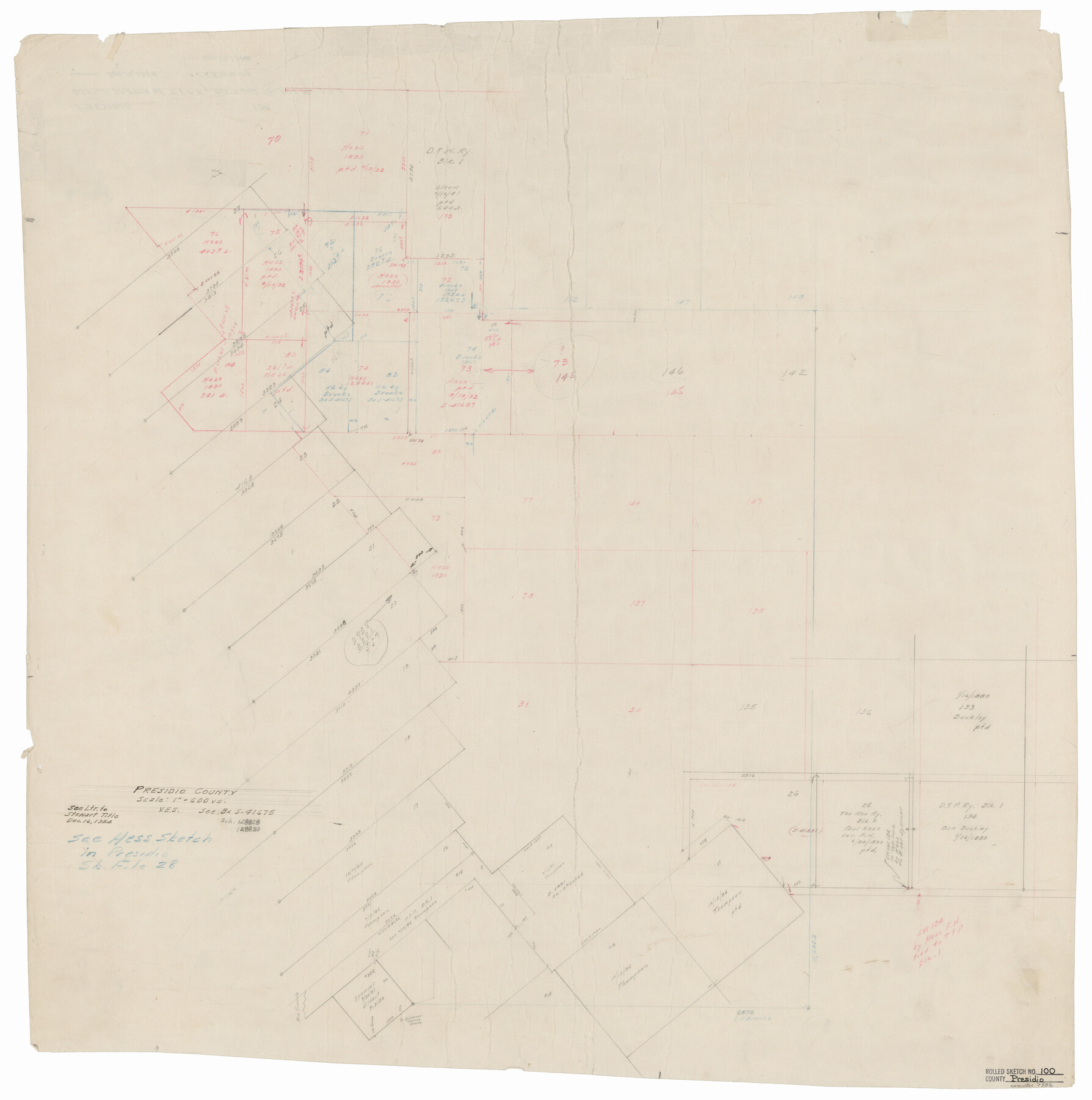
Presidio County Rolled Sketch 100
Presidio County [showing location of Tex. Mex. R.R. Co. Block 5]
-
Map/Doc
7382
-
Collection
General Map Collection
-
Object Dates
1954/12/16 (Creation Date)
-
Counties
Presidio
-
Subjects
Surveying Rolled Sketch
-
Height x Width
30.4 x 30.2 inches
77.2 x 76.7 cm
-
Medium
paper, manuscript
-
Scale
1" = 600 varas
-
Comments
See Presidio County Sketch File 28 (11709) for related sketch and Presidio County Sketch File 109 (34815) for correspondence that accompanied this sketch.
Related maps
Presidio County Sketch File 28

Print $20.00
- Digital $50.00
Presidio County Sketch File 28
1890
Size 30.2 x 16.1 inches
Map/Doc 11709
Presidio County Sketch File 109

Print $6.00
- Digital $50.00
Presidio County Sketch File 109
Size 9.0 x 6.1 inches
Map/Doc 34815
Part of: General Map Collection
McMullen County

Print $40.00
- Digital $50.00
McMullen County
1967
Size 50.8 x 35.8 inches
Map/Doc 95586
Map Showing Reconstruction of Conflicted Area in North Eastern Part Brewster County Based on Connections by M. P. Ball

Print $40.00
- Digital $50.00
Map Showing Reconstruction of Conflicted Area in North Eastern Part Brewster County Based on Connections by M. P. Ball
1942
Size 42.9 x 91.9 inches
Map/Doc 82073
South Part Brewster Co.

Print $40.00
- Digital $50.00
South Part Brewster Co.
1915
Size 39.2 x 51.8 inches
Map/Doc 4760
Hutchinson County Rolled Sketch 44-3

Print $20.00
- Digital $50.00
Hutchinson County Rolled Sketch 44-3
2002
Size 24.0 x 36.0 inches
Map/Doc 77539
Flight Mission No. BQR-5K, Frame 65, Brazoria County

Print $20.00
- Digital $50.00
Flight Mission No. BQR-5K, Frame 65, Brazoria County
1952
Size 18.8 x 22.5 inches
Map/Doc 84010
Harrison County Working Sketch 1

Print $20.00
- Digital $50.00
Harrison County Working Sketch 1
1919
Size 22.6 x 25.6 inches
Map/Doc 66021
Brazoria County Sketch File 15b

Print $40.00
- Digital $50.00
Brazoria County Sketch File 15b
Size 13.2 x 26.3 inches
Map/Doc 10951
Current Miscellaneous File 82

Print $4.00
- Digital $50.00
Current Miscellaneous File 82
Size 12.0 x 8.8 inches
Map/Doc 74224
Hill County Rolled Sketch 1

Print $20.00
- Digital $50.00
Hill County Rolled Sketch 1
1950
Size 13.1 x 41.0 inches
Map/Doc 6214
[Surveys in the Bexar District along the Medina River]
![17, [Surveys in the Bexar District along the Medina River], General Map Collection](https://historictexasmaps.com/wmedia_w700/maps/17.tif.jpg)
Print $20.00
- Digital $50.00
[Surveys in the Bexar District along the Medina River]
1841
Size 16.9 x 12.7 inches
Map/Doc 17
Houston & Great Northern RR through Smith & other counties

Print $66.00
- Digital $50.00
Houston & Great Northern RR through Smith & other counties
1872
Size 14.2 x 8.4 inches
Map/Doc 64339
Lampasas County

Print $20.00
- Digital $50.00
Lampasas County
1972
Size 34.4 x 43.4 inches
Map/Doc 73214
You may also like
Webb County Working Sketch 60

Print $20.00
- Digital $50.00
Webb County Working Sketch 60
1960
Size 43.3 x 47.8 inches
Map/Doc 72426
Loving County Rolled Sketch 4

Print $40.00
- Digital $50.00
Loving County Rolled Sketch 4
1952
Size 82.2 x 19.5 inches
Map/Doc 9465
Yoakum County Sketch File 1

Print $10.00
- Digital $50.00
Yoakum County Sketch File 1
Size 9.4 x 8.3 inches
Map/Doc 40697
Flight Mission No. BRE-2P, Frame 81, Nueces County

Print $20.00
- Digital $50.00
Flight Mission No. BRE-2P, Frame 81, Nueces County
1956
Size 18.6 x 22.5 inches
Map/Doc 86776
Asher & Adams' Geological Map - United States and Territories

Print $20.00
- Digital $50.00
Asher & Adams' Geological Map - United States and Territories
1874
Size 17.9 x 24.9 inches
Map/Doc 95175
Map showing those portions of Texas traversed by Rock Island Lines and connections

Print $20.00
- Digital $50.00
Map showing those portions of Texas traversed by Rock Island Lines and connections
1904
Size 15.6 x 12.2 inches
Map/Doc 96588
[John Schrier's league]
![286, [John Schrier's league], General Map Collection](https://historictexasmaps.com/wmedia_w700/maps/286.tif.jpg)
Print $2.00
- Digital $50.00
[John Schrier's league]
1847
Size 7.2 x 8.6 inches
Map/Doc 286
The Republic County of Austin. January 10, 1839

Print $20.00
The Republic County of Austin. January 10, 1839
2020
Size 7.0 x 22.0 inches
Map/Doc 96083
Andrews County

Print $40.00
- Digital $50.00
Andrews County
1951
Size 42.7 x 54.5 inches
Map/Doc 1769
Val Verde County Working Sketch 22

Print $20.00
- Digital $50.00
Val Verde County Working Sketch 22
1931
Size 27.6 x 33.0 inches
Map/Doc 72157
General Highway Map. Detail of Cities and Towns in Smith County, Texas

Print $20.00
General Highway Map. Detail of Cities and Towns in Smith County, Texas
1961
Size 18.3 x 24.6 inches
Map/Doc 79655
[G. C. & S. F. Ry., San Saba Branch, Right of Way Map, Brady to Melvin]
![61421, [G. C. & S. F. Ry., San Saba Branch, Right of Way Map, Brady to Melvin], General Map Collection](https://historictexasmaps.com/wmedia_w700/maps/61421.tif.jpg)
Print $40.00
- Digital $50.00
[G. C. & S. F. Ry., San Saba Branch, Right of Way Map, Brady to Melvin]
1916
Size 37.7 x 121.5 inches
Map/Doc 61421