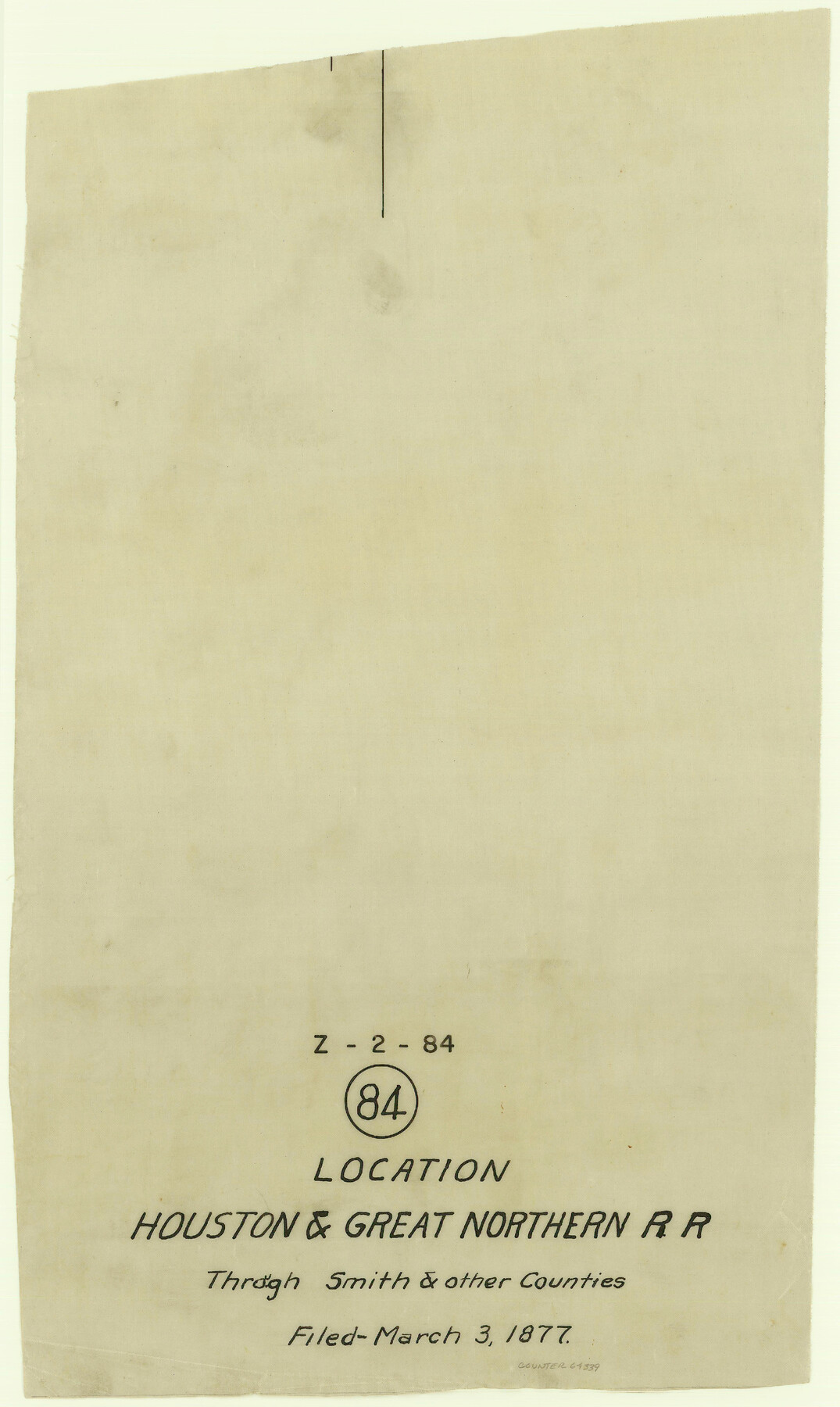
Houston & Great Northern RR through Smith & other counties
Z-2-84
-
Map/Doc
64339
-
Collection
General Map Collection
-
Object Dates
1877/3/3 (File Date)
1877/3/17 (File Date)
1877/3/23 (File Date)
1872/11/9 (Creation Date)
1871/8/17 (Creation Date)
1873/5/15 (Creation Date)
-
People and Organizations
R.S. Hayes (Surveyor/Engineer)
-
Counties
Smith
-
Subjects
Railroads
-
Height x Width
14.2 x 8.4 inches
36.1 x 21.3 cm
-
Medium
paper, manuscript
-
Features
H&GN
Part of: General Map Collection

Kinney County Rolled Sketch 21

Print $40.00
- Digital $50.00
Kinney County Rolled Sketch 21
1992
Size 39.2 x 57.2 inches
Map/Doc 9358
Flight Mission No. DQO-7K, Frame 113, Galveston County

Print $20.00
- Digital $50.00
Flight Mission No. DQO-7K, Frame 113, Galveston County
1952
Size 18.7 x 22.3 inches
Map/Doc 85128
Uvalde County Rolled Sketch 15

Print $20.00
- Digital $50.00
Uvalde County Rolled Sketch 15
1979
Size 26.9 x 23.9 inches
Map/Doc 8099
Coast Chart No. 212 - From Latitude 26° 33' to the Rio Grande, Texas

Print $20.00
- Digital $50.00
Coast Chart No. 212 - From Latitude 26° 33' to the Rio Grande, Texas
1886
Size 21.9 x 17.5 inches
Map/Doc 73505
Northwest Part of Webb County

Print $40.00
- Digital $50.00
Northwest Part of Webb County
1984
Size 42.6 x 52.2 inches
Map/Doc 73319
[Map of Starr County]
![4049, [Map of Starr County], General Map Collection](https://historictexasmaps.com/wmedia_w700/maps/4049.tif.jpg)
Print $20.00
- Digital $50.00
[Map of Starr County]
Size 18.8 x 16.2 inches
Map/Doc 4049
Jones County Working Sketch 9

Print $20.00
- Digital $50.00
Jones County Working Sketch 9
1980
Size 17.4 x 22.3 inches
Map/Doc 66647
Hutchinson County Working Sketch 18

Print $20.00
- Digital $50.00
Hutchinson County Working Sketch 18
1956
Size 31.4 x 18.3 inches
Map/Doc 66378
King County Sketch File 5

Print $6.00
- Digital $50.00
King County Sketch File 5
1895
Size 10.6 x 12.2 inches
Map/Doc 29024
Limestone County Sketch File 8

Print $20.00
- Digital $50.00
Limestone County Sketch File 8
1869
Size 15.6 x 23.7 inches
Map/Doc 12002
Edwards County Rolled Sketch JFW1

Print $53.00
- Digital $50.00
Edwards County Rolled Sketch JFW1
1935
Size 10.3 x 15.5 inches
Map/Doc 44398
You may also like
Stephens County Sketch File 2

Print $4.00
- Digital $50.00
Stephens County Sketch File 2
1870
Size 12.9 x 8.2 inches
Map/Doc 37013
Hardin County Sketch File 24a

Print $8.00
- Digital $50.00
Hardin County Sketch File 24a
1868
Size 5.8 x 7.9 inches
Map/Doc 25142
Newton County Working Sketch 31

Print $20.00
- Digital $50.00
Newton County Working Sketch 31
1955
Size 34.3 x 43.6 inches
Map/Doc 71277
Wharton County Sketch File 10a

Print $20.00
- Digital $50.00
Wharton County Sketch File 10a
Size 11.0 x 19.0 inches
Map/Doc 12660
Cooke County Rolled Sketch 6

Print $20.00
- Digital $50.00
Cooke County Rolled Sketch 6
1981
Size 19.7 x 25.1 inches
Map/Doc 5564
Pecos County Rolled Sketch 36

Print $20.00
- Digital $50.00
Pecos County Rolled Sketch 36
1906
Size 32.0 x 23.4 inches
Map/Doc 7216
Pecos County Rolled Sketch 26A

Print $40.00
- Digital $50.00
Pecos County Rolled Sketch 26A
1890
Size 56.4 x 19.5 inches
Map/Doc 9689
Gaines County Sketch File 14

Print $20.00
- Digital $50.00
Gaines County Sketch File 14
1954
Size 23.4 x 32.1 inches
Map/Doc 11525
[Map of the San Antonio del Encinal as Corrected]
![4459, [Map of the San Antonio del Encinal as Corrected], Maddox Collection](https://historictexasmaps.com/wmedia_w700/maps/4459.tif.jpg)
Print $20.00
- Digital $50.00
[Map of the San Antonio del Encinal as Corrected]
Size 28.5 x 30.7 inches
Map/Doc 4459
Harris County Sketch File 23

Print $4.00
- Digital $50.00
Harris County Sketch File 23
Size 8.5 x 6.2 inches
Map/Doc 25377
Flight Mission No. BRE-3P, Frame 92, Nueces County

Print $20.00
- Digital $50.00
Flight Mission No. BRE-3P, Frame 92, Nueces County
1956
Size 18.6 x 22.5 inches
Map/Doc 86823
Goliad Station Map, Galveston, Harrisburg & San Antonio Ry. operated by the T. & N. O. R.R. Co.

Print $40.00
- Digital $50.00
Goliad Station Map, Galveston, Harrisburg & San Antonio Ry. operated by the T. & N. O. R.R. Co.
1918
Size 24.7 x 55.8 inches
Map/Doc 76161