[John Schrier's league]
Atlas G, Page 8, Sketch 1 (G-8-1)
G-8-1
-
Map/Doc
286
-
Collection
General Map Collection
-
Object Dates
1847 (Creation Date)
-
People and Organizations
M.B. Lewis (Surveyor/Engineer)
-
Counties
Jasper
-
Subjects
Atlas
-
Height x Width
7.2 x 8.6 inches
18.3 x 21.8 cm
-
Medium
paper, manuscript
-
Comments
Conserved in 2003.
Part of: General Map Collection
Gaines County Sketch File 5

Print $22.00
- Digital $50.00
Gaines County Sketch File 5
1915
Size 10.8 x 7.2 inches
Map/Doc 23177
Val Verde County Working Sketch 48


Print $20.00
- Digital $50.00
Val Verde County Working Sketch 48
1949
Size 32.6 x 17.6 inches
Map/Doc 72183
Burnet County Boundary File 12b


Print $8.00
- Digital $50.00
Burnet County Boundary File 12b
Size 12.8 x 8.4 inches
Map/Doc 50960
Motley County Sketch File 4 (S)


Print $4.00
- Digital $50.00
Motley County Sketch File 4 (S)
Size 12.9 x 8.4 inches
Map/Doc 32143
Sutton County Rolled Sketch 38

Print $20.00
- Digital $50.00
Sutton County Rolled Sketch 38
1898
Size 19.6 x 35.1 inches
Map/Doc 7881
Flight Mission No. CLL-1N, Frame 13, Willacy County


Print $20.00
- Digital $50.00
Flight Mission No. CLL-1N, Frame 13, Willacy County
1954
Size 18.3 x 22.0 inches
Map/Doc 87000
Guadalupe County Sketch File 4

Print $4.00
- Digital $50.00
Guadalupe County Sketch File 4
1869
Size 8.2 x 7.9 inches
Map/Doc 24654
Robertson County Working Sketch 17

Print $20.00
- Digital $50.00
Robertson County Working Sketch 17
1991
Size 16.8 x 22.9 inches
Map/Doc 63590
Edwards County Working Sketch 18


Print $20.00
- Digital $50.00
Edwards County Working Sketch 18
1931
Size 34.3 x 37.0 inches
Map/Doc 68894
Ector County Working Sketch 21

Print $40.00
- Digital $50.00
Ector County Working Sketch 21
Size 41.3 x 117.7 inches
Map/Doc 68864
Jim Wells County Rolled Sketch 1

Print $20.00
- Digital $50.00
Jim Wells County Rolled Sketch 1
1981
Size 43.2 x 32.4 inches
Map/Doc 9324
Stonewall County Rolled Sketch 9

Print $20.00
- Digital $50.00
Stonewall County Rolled Sketch 9
Size 35.8 x 30.8 inches
Map/Doc 7865
You may also like
El Paso County Rolled Sketch 36

Print $40.00
- Digital $50.00
El Paso County Rolled Sketch 36
1916
Size 43.3 x 77.6 inches
Map/Doc 8863
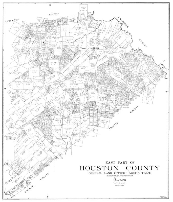
East Part of Houston County

Print $40.00
- Digital $50.00
East Part of Houston County
1944
Size 49.0 x 42.1 inches
Map/Doc 77316
Outer Continental Shelf Leasing Maps (Texas Offshore Operations)


Print $20.00
- Digital $50.00
Outer Continental Shelf Leasing Maps (Texas Offshore Operations)
1954
Size 11.6 x 12.3 inches
Map/Doc 75835
Rains County Working Sketch 7


Print $20.00
- Digital $50.00
Rains County Working Sketch 7
1964
Size 32.6 x 38.6 inches
Map/Doc 71833
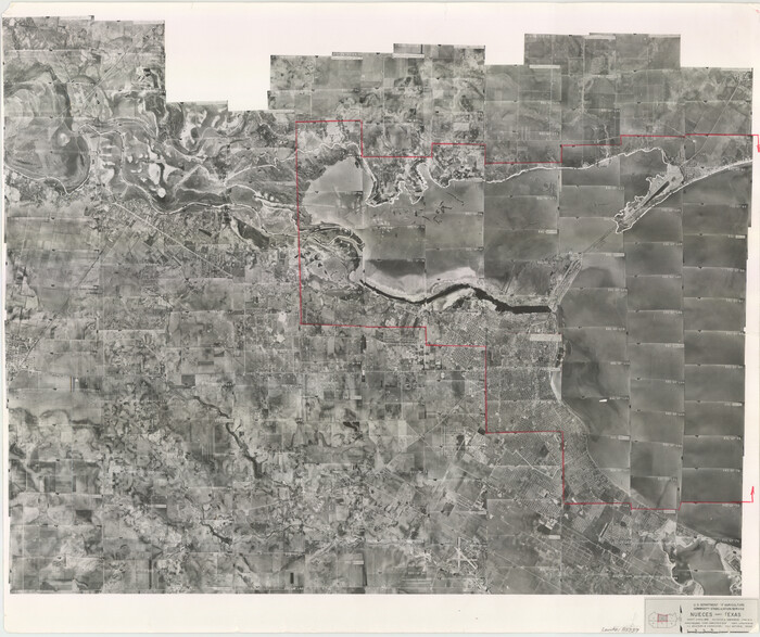
Nueces County Aerial Photograph Index Sheet 2

Print $20.00
- Digital $50.00
Nueces County Aerial Photograph Index Sheet 2
1956
Size 19.5 x 23.3 inches
Map/Doc 83737
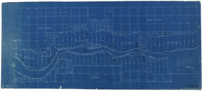
Childress County Rolled Sketch 18A

Print $20.00
- Digital $50.00
Childress County Rolled Sketch 18A
1913
Size 18.5 x 39.8 inches
Map/Doc 5452
[H. & G. N. Block B3]
![89982, [H. & G. N. Block B3], Twichell Survey Records](https://historictexasmaps.com/wmedia_w700/maps/89982-1.tif.jpg)
![89982, [H. & G. N. Block B3], Twichell Survey Records](https://historictexasmaps.com/wmedia_w700/maps/89982-1.tif.jpg)
Print $3.00
- Digital $50.00
[H. & G. N. Block B3]
Size 17.4 x 8.1 inches
Map/Doc 89982
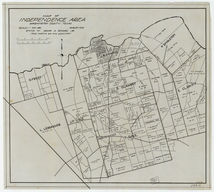
Map of Independence Area, Washington County, Texas

Print $20.00
- Digital $50.00
Map of Independence Area, Washington County, Texas
1935
Size 28.9 x 26.0 inches
Map/Doc 91990
Motley County Sketch File B (S)


Print $40.00
- Digital $50.00
Motley County Sketch File B (S)
Size 14.2 x 12.4 inches
Map/Doc 32157
Hale County Boundary File 5
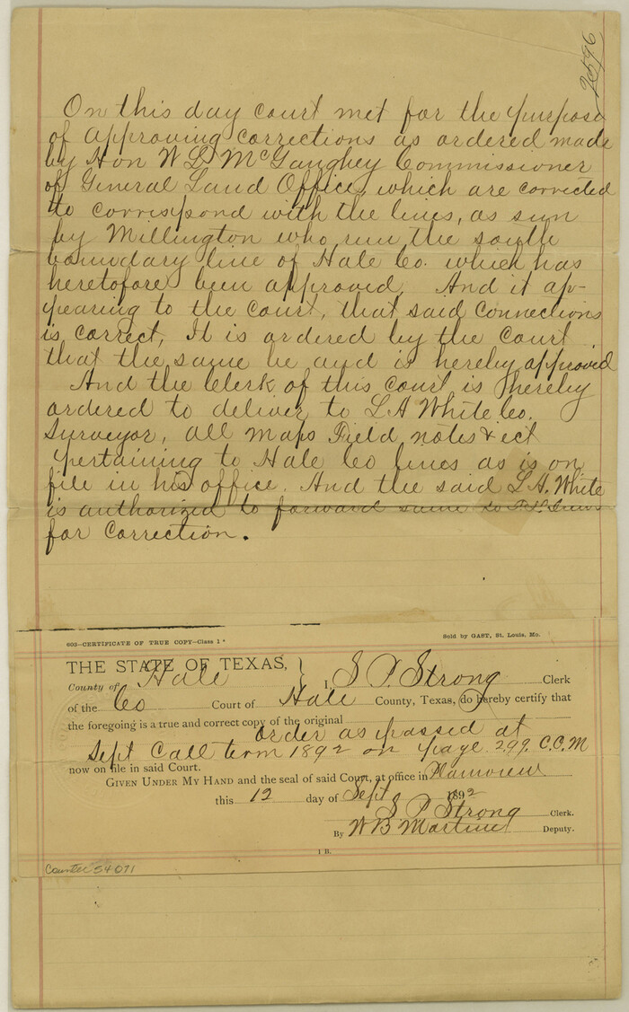

Print $4.00
- Digital $50.00
Hale County Boundary File 5
Size 14.1 x 8.7 inches
Map/Doc 54071
Bastrop County, From McDade to Austin, Texas, Houston & Texas Central Railroad
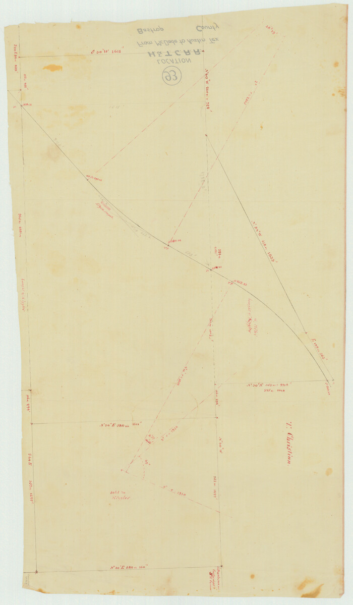

Print $20.00
- Digital $50.00
Bastrop County, From McDade to Austin, Texas, Houston & Texas Central Railroad
1939
Size 26.6 x 15.5 inches
Map/Doc 64364
Reeves County Working Sketch 14
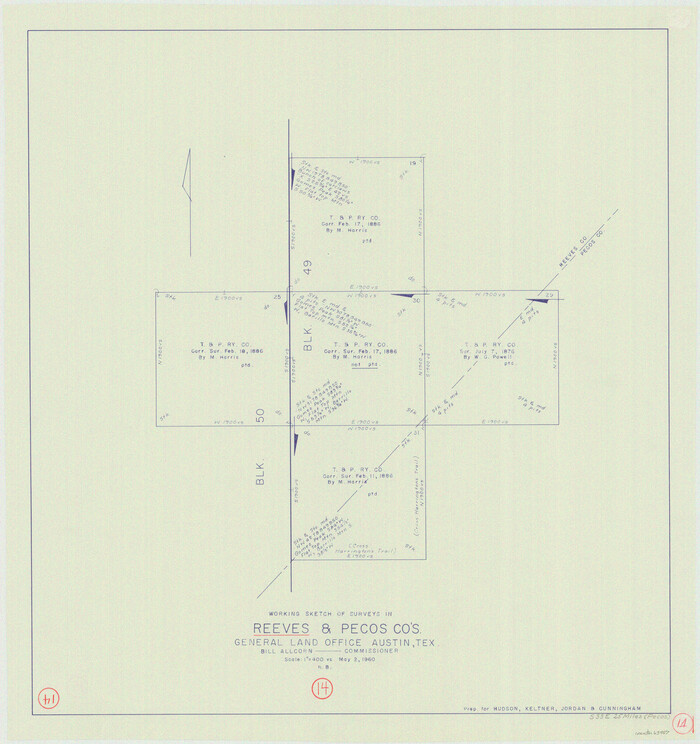

Print $20.00
- Digital $50.00
Reeves County Working Sketch 14
1960
Size 26.5 x 24.9 inches
Map/Doc 63457
![286, [John Schrier's league], General Map Collection](https://historictexasmaps.com/wmedia_w1800h1800/maps/286.tif.jpg)