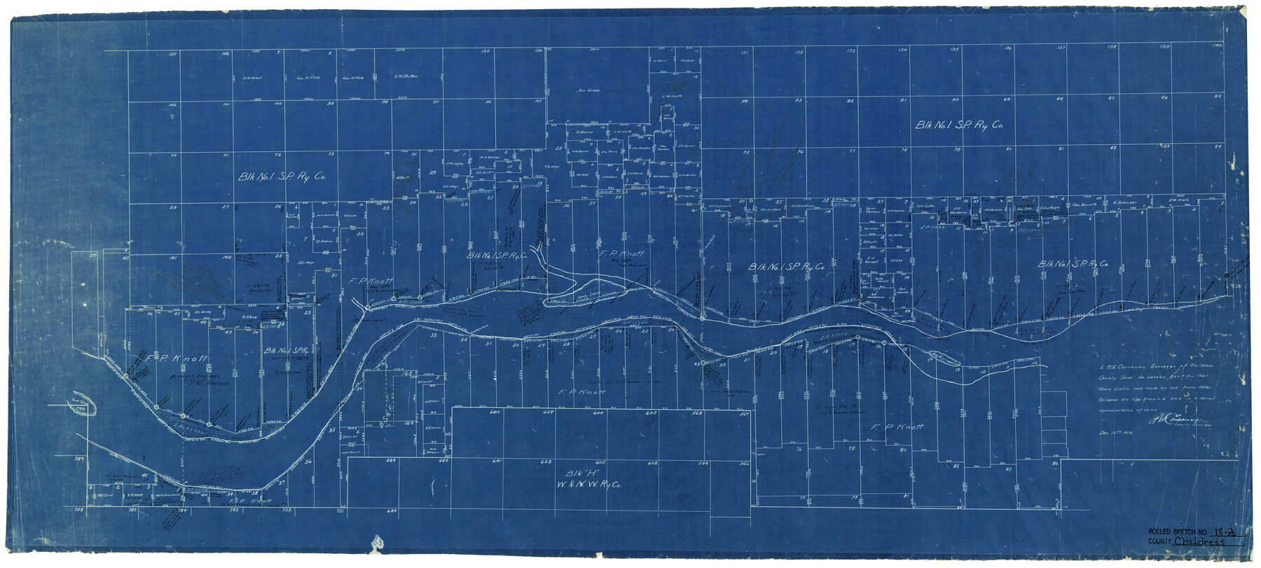
Childress County Rolled Sketch 18A
[Sketch on both sides of Prairie Dog River]
-
Map/Doc
5452
-
Collection
General Map Collection
-
Object Dates
12/15/1913 (Creation Date)
-
People and Organizations
R.G. Carraway (Surveyor/Engineer)
-
Counties
Childress
-
Subjects
Surveying Rolled Sketch
-
Height x Width
18.5 x 39.8 inches
47.0 x 101.1 cm
-
Medium
blueprint/diazo
Part of: General Map Collection
Grayson County Working Sketch 17

Print $20.00
- Digital $50.00
Grayson County Working Sketch 17
1955
Size 16.0 x 42.5 inches
Map/Doc 63256
Goliad County Sketch File 29

Print $2.00
- Digital $50.00
Goliad County Sketch File 29
Size 12.6 x 8.0 inches
Map/Doc 24326
Le Vieux Mexique ou Nouvelle Espagne avec les costes de la Floride faisant partie de l'Amerique Septentrionale

Print $20.00
- Digital $50.00
Le Vieux Mexique ou Nouvelle Espagne avec les costes de la Floride faisant partie de l'Amerique Septentrionale
1702
Size 11.2 x 15.5 inches
Map/Doc 95922
Jeff Davis County Sketch File 17

Print $6.00
- Digital $50.00
Jeff Davis County Sketch File 17
1884
Size 8.8 x 7.3 inches
Map/Doc 27948
Kendall County Working Sketch 26

Print $20.00
- Digital $50.00
Kendall County Working Sketch 26
1985
Size 42.5 x 36.0 inches
Map/Doc 66698
Flight Mission No. DQN-1K, Frame 137, Calhoun County

Print $20.00
- Digital $50.00
Flight Mission No. DQN-1K, Frame 137, Calhoun County
1953
Size 18.5 x 22.2 inches
Map/Doc 84200
El Paso County Working Sketch 23

Print $20.00
- Digital $50.00
El Paso County Working Sketch 23
1961
Size 22.3 x 28.8 inches
Map/Doc 69045
Fractional Township No. 10 South Range No. 27 East of the Indian Meridian, Indian Territory

Print $20.00
- Digital $50.00
Fractional Township No. 10 South Range No. 27 East of the Indian Meridian, Indian Territory
1897
Size 19.2 x 24.3 inches
Map/Doc 75246
Bandera County Working Sketch 58

Print $20.00
- Digital $50.00
Bandera County Working Sketch 58
2001
Size 34.9 x 36.7 inches
Map/Doc 67654
Flight Mission No. CLL-1N, Frame 33, Willacy County

Print $20.00
- Digital $50.00
Flight Mission No. CLL-1N, Frame 33, Willacy County
1954
Size 18.4 x 22.1 inches
Map/Doc 87014
Map of the Texas & Pacific Ry. Reserve West of the Pecos River

Print $20.00
- Digital $50.00
Map of the Texas & Pacific Ry. Reserve West of the Pecos River
1879
Size 40.8 x 30.2 inches
Map/Doc 65333
Yoakum County

Print $20.00
- Digital $50.00
Yoakum County
1902
Size 46.1 x 36.6 inches
Map/Doc 63138
You may also like
Montgomery County Working Sketch 41

Print $20.00
- Digital $50.00
Montgomery County Working Sketch 41
1955
Size 22.9 x 23.6 inches
Map/Doc 71148
Map of Cameron County

Print $40.00
- Digital $50.00
Map of Cameron County
1895
Size 48.9 x 28.9 inches
Map/Doc 4901
Robertson County Working Sketch 5

Print $20.00
- Digital $50.00
Robertson County Working Sketch 5
1980
Size 33.9 x 44.1 inches
Map/Doc 63578
Phelps & Watson's historical and military map of the border & southern states

Print $20.00
- Digital $50.00
Phelps & Watson's historical and military map of the border & southern states
1863
Size 26.1 x 37.1 inches
Map/Doc 97083
General Soil Map of Texas

Print $20.00
General Soil Map of Texas
1935
Size 35.2 x 46.4 inches
Map/Doc 76309
Kimble County Working Sketch 66

Print $20.00
- Digital $50.00
Kimble County Working Sketch 66
1965
Size 31.1 x 27.2 inches
Map/Doc 70134
Flight Mission No. CLL-1N, Frame 184, Willacy County

Print $20.00
- Digital $50.00
Flight Mission No. CLL-1N, Frame 184, Willacy County
1954
Size 18.4 x 22.1 inches
Map/Doc 87054
Right of Way and Track Map of The Missouri, Kansas & Texas Railway of Texas

Print $40.00
- Digital $50.00
Right of Way and Track Map of The Missouri, Kansas & Texas Railway of Texas
1918
Size 25.4 x 75.5 inches
Map/Doc 64533
Travis County Working Sketch 8

Print $20.00
- Digital $50.00
Travis County Working Sketch 8
1917
Size 18.8 x 18.8 inches
Map/Doc 69392
Nueces County NRC Article 33.136 Location Key Sheet

Print $20.00
- Digital $50.00
Nueces County NRC Article 33.136 Location Key Sheet
1975
Size 27.0 x 23.0 inches
Map/Doc 77032
Cherokee County Working Sketch 20

Print $40.00
- Digital $50.00
Cherokee County Working Sketch 20
1967
Size 37.6 x 61.1 inches
Map/Doc 67975
Fort Bend County Rolled Sketch P

Print $20.00
- Digital $50.00
Fort Bend County Rolled Sketch P
Size 16.6 x 11.2 inches
Map/Doc 5907