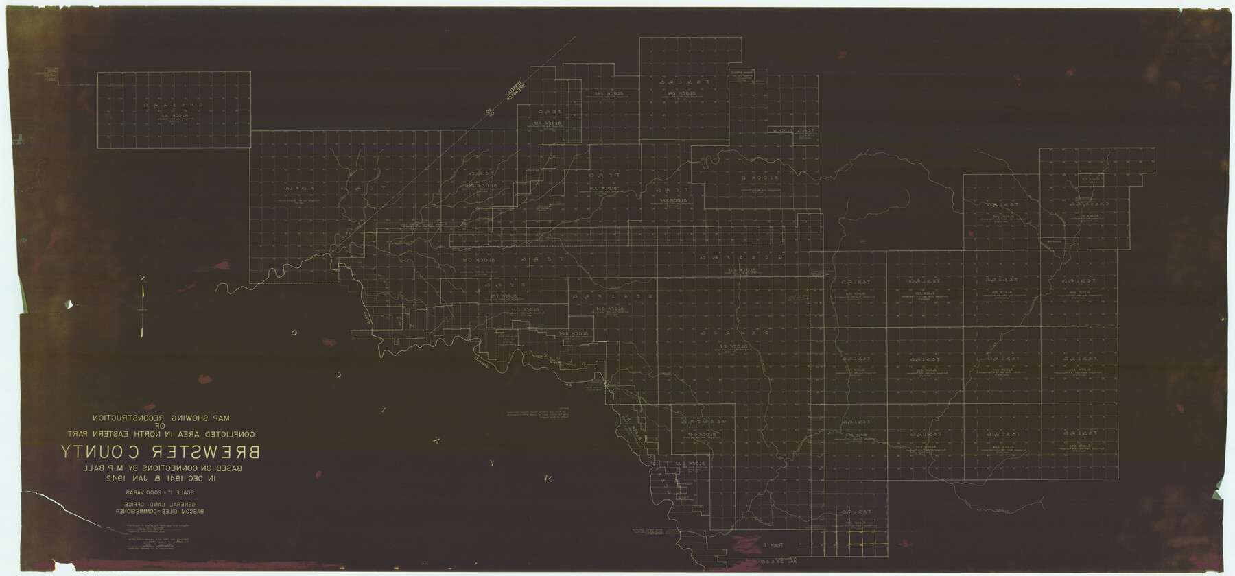
Map Showing Reconstruction of Conflicted Area in North Eastern Part Brewster County Based on Connections by M. P. Ball
- 
                          Map/Doc82073
- 
                            CollectionGeneral Map Collection
- 
                            Object Dates1942 (Creation Date)1942/8/14 (File Date)
- 
                            People and OrganizationsTexas General Land Office (Publisher)Bascom Giles (GLO Commissioner)M.P. Ball (Surveyor/Engineer)
- 
                            CountiesBrewster
- 
                            SubjectsCounty
- 
                            Height x Width42.9 x 91.9 inches109.0 x 233.4 cm
- 
                            FeaturesMaravillas CreekMaravillas CanyonDog CanyonSantiago DrawBig CanyonReagan CanyonBear CreekGuayule CreekRio GrandeSan Francisco CreekBeef CanyonHackberry CreekCow CreekHorse CreekMaxon CreekIsinglass CanyonWashboard CreekBrindle Creek
Part of: General Map Collection
            Coryell County Working Sketch 28


                                            Print $20.00                    
                                             -                         Digital $50.00                                    
                Coryell County Working Sketch 28
1990
Size 27.5 x 21.3 inches
                                Map/Doc 68235
            
            Township 1 North Range 11 West, North Western District, Louisiana


                                            Print $20.00                    
                                             -                         Digital $50.00                                    
                Township 1 North Range 11 West, North Western District, Louisiana
1884
Size 19.6 x 24.7 inches
                                Map/Doc 65878
            
            Presidio County Working Sketch 28


                                            Print $20.00                    
                                             -                         Digital $50.00                                    
                Presidio County Working Sketch 28
1945
Size 19.9 x 13.4 inches
                                Map/Doc 71704
            
            Atascosa County Working Sketch 39


                                            Print $20.00                    
                                             -                         Digital $50.00                                    
                Atascosa County Working Sketch 39
2011
Size 43.2 x 34.8 inches
                                Map/Doc 90068
            
            Bandera County Sketch File 9


                                            Print $2.00                    
                                             -                         Digital $50.00                                    
                Bandera County Sketch File 9
Size 8.7 x 4.9 inches
                                Map/Doc 14009
            
            Current Miscellaneous File 110


                                            Print $62.00                    
                                             -                         Digital $50.00                                    
                Current Miscellaneous File 110
1972
Size 11.1 x 8.8 inches
                                Map/Doc 74713
            
            Loving County Working Sketch 6


                                            Print $40.00                    
                                             -                         Digital $50.00                                    
                Loving County Working Sketch 6
1947
Size 31.3 x 51.0 inches
                                Map/Doc 70638
            
            Mills County Sketch File 17


                                            Print $10.00                    
                                             -                         Digital $50.00                                    
                Mills County Sketch File 17
1912
Size 14.4 x 8.8 inches
                                Map/Doc 31665
            
            Jeff Davis County Rolled Sketch 23


                                            Print $20.00                    
                                             -                         Digital $50.00                                    
                Jeff Davis County Rolled Sketch 23
1886
Size 24.9 x 25.4 inches
                                Map/Doc 7715
            
            Map of Newton Co.


                                            Print $20.00                    
                                             -                         Digital $50.00                                    
                Map of Newton Co.
1918
Size 46.4 x 39.4 inches
                                Map/Doc 81987
            You may also like
            Montgomery County Working Sketch 52


                                            Print $20.00                    
                                             -                         Digital $50.00                                    
                Montgomery County Working Sketch 52
1960
Size 37.8 x 43.3 inches
                                Map/Doc 71159
            
            Brazos River, Brazos River Sheet 3


                                            Print $6.00                    
                                             -                         Digital $50.00                                    
                Brazos River, Brazos River Sheet 3
1926
Size 23.6 x 35.2 inches
                                Map/Doc 65295
            
            The Mexican Municipality of Mina. ca. Spring 1835


                                            Print $20.00                    
                                    
                The Mexican Municipality of Mina. ca. Spring 1835
2020
Size 10.7 x 21.8 inches
                                Map/Doc 96029
            
            Jones County Sketch File 11a


                                            Print $40.00                    
                                             -                         Digital $50.00                                    
                Jones County Sketch File 11a
Size 37.5 x 49.5 inches
                                Map/Doc 10510
            
            Frio County Rolled Sketch 25


                                            Print $20.00                    
                                             -                         Digital $50.00                                    
                Frio County Rolled Sketch 25
1965
Size 25.0 x 30.6 inches
                                Map/Doc 5925
            
            Lubbock County


                                            Print $20.00                    
                                             -                         Digital $50.00                                    
                Lubbock County
1879
Size 21.3 x 19.1 inches
                                Map/Doc 4583
            
            Haskell County Rolled Sketch 15


                                            Print $20.00                    
                                             -                         Digital $50.00                                    
                Haskell County Rolled Sketch 15
1991
Size 12.7 x 18.4 inches
                                Map/Doc 6173
            
            Maps showing Arkansas Central, the Helena & Corinth, and the Pine Bluff & Southwestern Railroads together forming the Texas & Northeastern Railway.


                                            Print $20.00                    
                                    
                Maps showing Arkansas Central, the Helena & Corinth, and the Pine Bluff & Southwestern Railroads together forming the Texas & Northeastern Railway.
1872
Size 26.8 x 29.1 inches
                                Map/Doc 93609
            
            Tyler County Sketch File 9a


                                            Print $4.00                    
                                             -                         Digital $50.00                                    
                Tyler County Sketch File 9a
1877
Size 8.1 x 7.7 inches
                                Map/Doc 38646
            
            DeWitt County Sketch File 7


                                            Print $2.00                    
                                             -                         Digital $50.00                                    
                DeWitt County Sketch File 7
1876
Size 11.3 x 9.0 inches
                                Map/Doc 20817
            
            Dallas, Ft. Worth, & Vicinity, Texas - Regional Map


            Dallas, Ft. Worth, & Vicinity, Texas - Regional Map
1997
Size 25.7 x 36.7 inches
                                Map/Doc 97289
            
            North end of Brazos Island


                                            Print $20.00                    
                                             -                         Digital $50.00                                    
                North end of Brazos Island
Size 26.0 x 18.3 inches
                                Map/Doc 72915
             
                         
                                