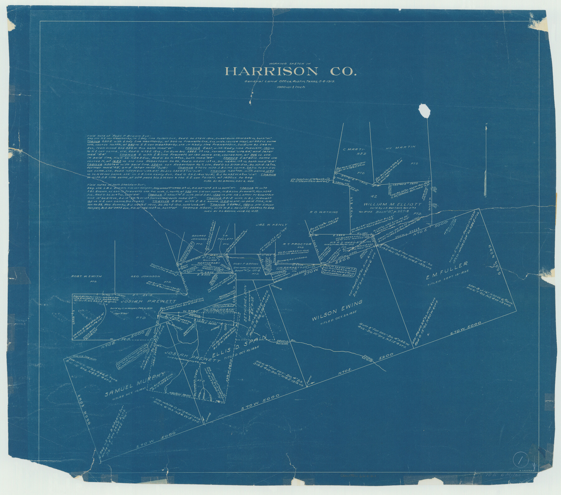
Harrison County Working Sketch 1
-
Map/Doc
66021
-
Collection
General Map Collection
-
Object Dates
5/8/1919 (Creation Date)
-
People and Organizations
G.T. Wicker (Draftsman)
-
Counties
Harrison
-
Subjects
Surveying Working Sketch
-
Height x Width
22.6 x 25.6 inches
57.4 x 65.0 cm
-
Scale
1" = 1000 varas
Part of: General Map Collection
Cottle County Sketch File A and B

Print $27.00
- Digital $50.00
Cottle County Sketch File A and B
Size 18.4 x 24.1 inches
Map/Doc 11200
G No. 2 - Reconnaissance of Channel No. IV Cedar-Keys, Florida

Print $20.00
- Digital $50.00
G No. 2 - Reconnaissance of Channel No. IV Cedar-Keys, Florida
1852
Size 10.8 x 12.6 inches
Map/Doc 97220
Jim Hogg County Rolled Sketch F

Print $20.00
- Digital $50.00
Jim Hogg County Rolled Sketch F
1930
Size 24.5 x 28.9 inches
Map/Doc 6445
Travis County Sketch File 56

Print $6.00
- Digital $50.00
Travis County Sketch File 56
1945
Size 14.2 x 9.0 inches
Map/Doc 38398
Jim Hogg County Working Sketch 6

Print $40.00
- Digital $50.00
Jim Hogg County Working Sketch 6
1961
Size 63.3 x 42.8 inches
Map/Doc 66592
San Augustine County Working Sketch 26

Print $40.00
- Digital $50.00
San Augustine County Working Sketch 26
2008
Size 63.9 x 33.5 inches
Map/Doc 88823
[Surveys in Austin's Colony along the San Bernardo River, West Bernardo River, and Lone Tree Creek]
![194, [Surveys in Austin's Colony along the San Bernardo River, West Bernardo River, and Lone Tree Creek], General Map Collection](https://historictexasmaps.com/wmedia_w700/maps/194-1.tif.jpg)
Print $20.00
- Digital $50.00
[Surveys in Austin's Colony along the San Bernardo River, West Bernardo River, and Lone Tree Creek]
1830
Size 28.3 x 17.8 inches
Map/Doc 194
Mills County Working Sketch 16

Print $20.00
- Digital $50.00
Mills County Working Sketch 16
1963
Size 20.2 x 18.3 inches
Map/Doc 71046
Flight Mission No. DCL-6C, Frame 116, Kenedy County

Print $20.00
- Digital $50.00
Flight Mission No. DCL-6C, Frame 116, Kenedy County
1943
Size 18.6 x 22.2 inches
Map/Doc 85946
Smith County Rolled Sketch 7

Print $20.00
- Digital $50.00
Smith County Rolled Sketch 7
2003
Size 46.4 x 35.3 inches
Map/Doc 80141
Moore County Sketch File 13

Print $24.00
- Digital $50.00
Moore County Sketch File 13
1919
Size 7.0 x 8.7 inches
Map/Doc 31949
Newton County Sketch File 22

Print $4.00
- Digital $50.00
Newton County Sketch File 22
1890
Size 14.2 x 8.7 inches
Map/Doc 32401
You may also like
Trinity County Sketch File 15

Print $6.00
- Digital $50.00
Trinity County Sketch File 15
Size 14.5 x 10.4 inches
Map/Doc 38542
Red River County Working Sketch Graphic Index, Sheet 2 (Sketches 49 to Most Recent)

Print $20.00
- Digital $50.00
Red River County Working Sketch Graphic Index, Sheet 2 (Sketches 49 to Most Recent)
1934
Size 46.4 x 39.1 inches
Map/Doc 76681
United States - Gulf Coast Texas - Southern part of Laguna Madre

Print $20.00
- Digital $50.00
United States - Gulf Coast Texas - Southern part of Laguna Madre
1941
Size 18.4 x 27.5 inches
Map/Doc 72948
Hunt County Working Sketch 10

Print $20.00
- Digital $50.00
Hunt County Working Sketch 10
1959
Size 31.5 x 42.8 inches
Map/Doc 66357
Webb County Rolled Sketch 29

Print $20.00
- Digital $50.00
Webb County Rolled Sketch 29
1932
Size 16.5 x 15.3 inches
Map/Doc 8187
Haskell County

Print $20.00
- Digital $50.00
Haskell County
1873
Size 20.1 x 24.2 inches
Map/Doc 3642
Zavala County Working Sketch 26

Print $20.00
- Digital $50.00
Zavala County Working Sketch 26
1990
Size 22.4 x 27.9 inches
Map/Doc 62101
Map of Young County

Print $20.00
- Digital $50.00
Map of Young County
1897
Size 44.1 x 37.9 inches
Map/Doc 63140
Presidio County Boundary File 3

Print $33.00
- Digital $50.00
Presidio County Boundary File 3
Size 14.1 x 8.5 inches
Map/Doc 58058
Nueces County Sketch File 77a and 77b

Print $26.00
- Digital $50.00
Nueces County Sketch File 77a and 77b
1986
Size 11.1 x 8.6 inches
Map/Doc 33057
Rusk County Working Sketch 2

Print $40.00
- Digital $50.00
Rusk County Working Sketch 2
Size 36.4 x 58.2 inches
Map/Doc 63637
Runnels County Sketch File 18

Print $10.00
Runnels County Sketch File 18
1892
Size 14.0 x 8.4 inches
Map/Doc 35476