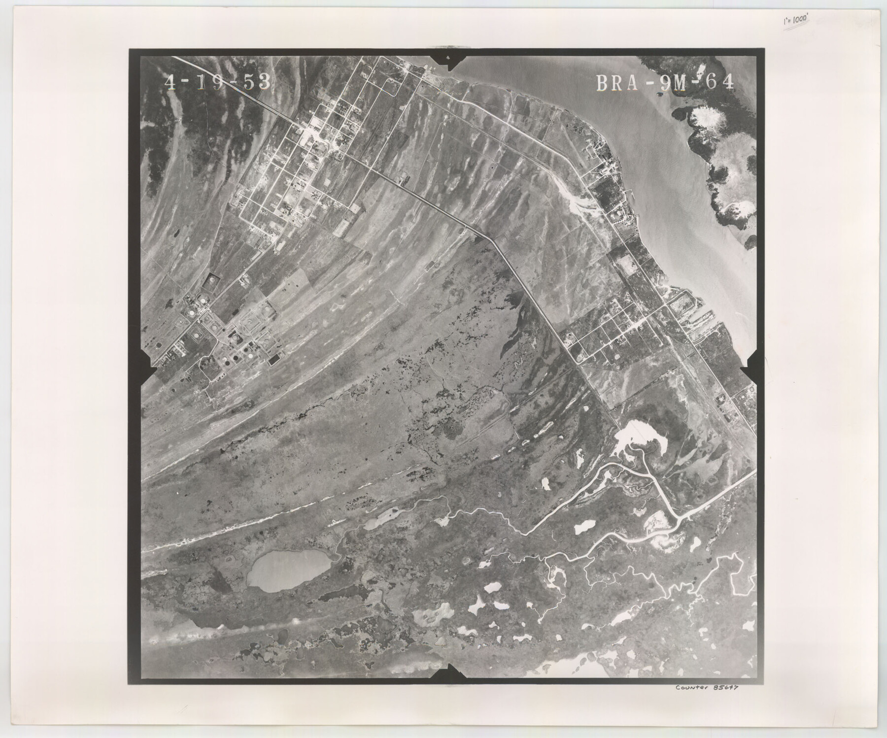
Flight Mission No. BRA-9M, Frame 64, Jefferson County
BRA-9M-64
-
Map/Doc
85647
-
Collection
General Map Collection
-
Object Dates
1953/4/19 (Creation Date)
-
People and Organizations
U. S. Department of Agriculture (Publisher)
-
Counties
Jefferson
-
Subjects
Aerial Photograph
-
Height x Width
18.6 x 22.4 inches
47.2 x 56.9 cm
-
Comments
Flown by Jack Ammann Photogrammetric Engineers of San Antonio, Texas.
Part of: General Map Collection
Presidio County Rolled Sketch 131A

Print $20.00
- Digital $50.00
Presidio County Rolled Sketch 131A
1975
Size 30.5 x 24.9 inches
Map/Doc 10706
The History of Texas; or the Emigrant's, Farmer's, and Politician's Guide to the Character, Climate, Soil and Productions of that Country: Geographically Arranged from Personal Observation and Experience

The History of Texas; or the Emigrant's, Farmer's, and Politician's Guide to the Character, Climate, Soil and Productions of that Country: Geographically Arranged from Personal Observation and Experience
1836
Size 7.6 x 9.1 inches
Map/Doc 94038
[Sketch for Mineral Application 27670 - Strip between Simon Sanchez leagues and Trinity River]
![2865, [Sketch for Mineral Application 27670 - Strip between Simon Sanchez leagues and Trinity River], General Map Collection](https://historictexasmaps.com/wmedia_w700/maps/2865-1.tif.jpg)
Print $40.00
- Digital $50.00
[Sketch for Mineral Application 27670 - Strip between Simon Sanchez leagues and Trinity River]
1934
Size 17.3 x 50.5 inches
Map/Doc 2865
Dallas County Rolled Sketch 4

Print $20.00
- Digital $50.00
Dallas County Rolled Sketch 4
1954
Size 13.1 x 24.2 inches
Map/Doc 5687
La Salle County Working Sketch 8

Print $20.00
- Digital $50.00
La Salle County Working Sketch 8
1922
Size 19.0 x 18.3 inches
Map/Doc 70309
Shelby County Sketch File 8

Print $4.00
- Digital $50.00
Shelby County Sketch File 8
Size 10.1 x 7.9 inches
Map/Doc 36607
Jasper County Sketch File 23

Print $20.00
- Digital $50.00
Jasper County Sketch File 23
Size 15.3 x 24.6 inches
Map/Doc 11850
Fisher County Rolled Sketch 6

Print $20.00
- Digital $50.00
Fisher County Rolled Sketch 6
1971
Size 26.9 x 26.7 inches
Map/Doc 5877
Flight Mission No. CUG-2P, Frame 29, Kleberg County

Print $20.00
- Digital $50.00
Flight Mission No. CUG-2P, Frame 29, Kleberg County
1956
Size 18.6 x 22.4 inches
Map/Doc 86194
Permanent Lakes and Marshes for Mineral Development

Print $20.00
- Digital $50.00
Permanent Lakes and Marshes for Mineral Development
Size 30.6 x 35.2 inches
Map/Doc 73593
Coast Chart No. 210 Aransas Pass and Corpus Christi Bay with the coast to latitude 27° 12' Texas

Print $20.00
- Digital $50.00
Coast Chart No. 210 Aransas Pass and Corpus Christi Bay with the coast to latitude 27° 12' Texas
1887
Size 27.6 x 18.2 inches
Map/Doc 72785
Kinney County Rolled Sketch 18

Print $20.00
- Digital $50.00
Kinney County Rolled Sketch 18
1975
Size 22.4 x 28.6 inches
Map/Doc 6545
You may also like
Brewster County Working Sketch 95

Print $40.00
- Digital $50.00
Brewster County Working Sketch 95
1975
Size 55.5 x 38.6 inches
Map/Doc 67695
Concho County Sketch File 48

Print $4.00
- Digital $50.00
Concho County Sketch File 48
1916
Size 11.3 x 8.9 inches
Map/Doc 19215
Flight Mission No. BRE-1P, Frame 66, Nueces County

Print $20.00
- Digital $50.00
Flight Mission No. BRE-1P, Frame 66, Nueces County
1956
Size 18.5 x 22.4 inches
Map/Doc 86648
North Part of Brewster Co.

Print $20.00
- Digital $50.00
North Part of Brewster Co.
1956
Size 42.4 x 40.2 inches
Map/Doc 1786
El Paso County Rolled Sketch Z55

Print $40.00
- Digital $50.00
El Paso County Rolled Sketch Z55
1915
Size 36.8 x 49.4 inches
Map/Doc 8870
[Block M, Section 132, Dawson County, Texas]
![92631, [Block M, Section 132, Dawson County, Texas], Twichell Survey Records](https://historictexasmaps.com/wmedia_w700/maps/92631-1.tif.jpg)
Print $20.00
- Digital $50.00
[Block M, Section 132, Dawson County, Texas]
1951
Size 15.9 x 14.3 inches
Map/Doc 92631
From Citizens Living in What Was to Become Fannin County for the Creation of a New County (Unnamed), Undated

Print $20.00
From Citizens Living in What Was to Become Fannin County for the Creation of a New County (Unnamed), Undated
2020
Size 17.6 x 21.7 inches
Map/Doc 96400
United States of America corrected & improved from the best authorities

Print $20.00
- Digital $50.00
United States of America corrected & improved from the best authorities
1820
Size 17.5 x 26.3 inches
Map/Doc 93953
Upton County Working Sketch 42

Print $40.00
- Digital $50.00
Upton County Working Sketch 42
1962
Size 56.0 x 42.9 inches
Map/Doc 69538
Flight Mission No. DAG-18K, Frame 74, Matagorda County

Print $20.00
- Digital $50.00
Flight Mission No. DAG-18K, Frame 74, Matagorda County
1952
Size 18.5 x 22.4 inches
Map/Doc 86367
Harris County Rolled Sketch 95

Print $20.00
- Digital $50.00
Harris County Rolled Sketch 95
1987
Size 34.2 x 27.8 inches
Map/Doc 6134
Rough Working Sketch in Moore County

Print $20.00
- Digital $50.00
Rough Working Sketch in Moore County
Size 13.2 x 24.1 inches
Map/Doc 91414