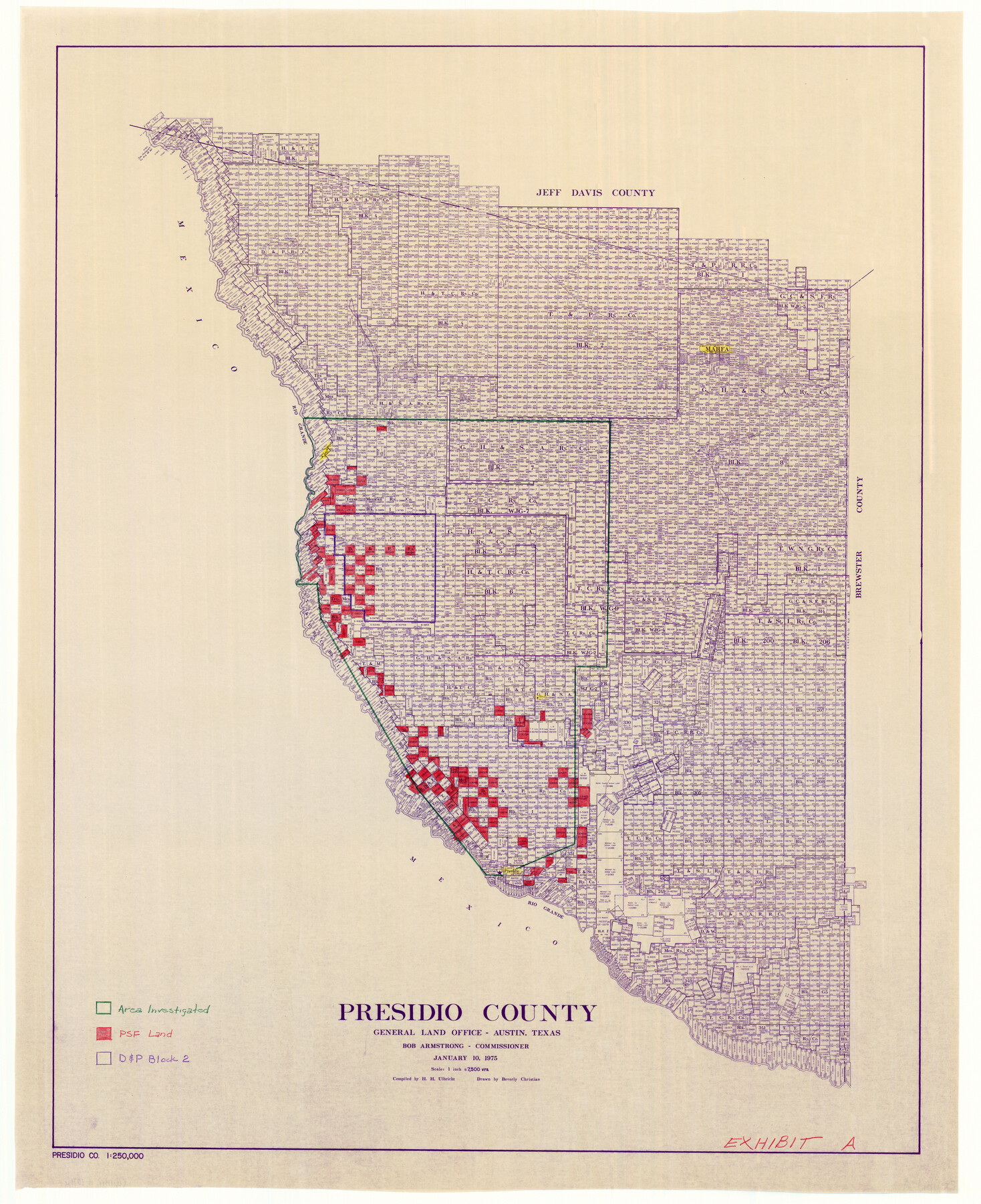
Presidio County Rolled Sketch 131A
Exhibit A - Presidio County
-
Map/Doc
10706
-
Collection
General Map Collection
-
Object Dates
1975/1/10 (Creation Date)
-
People and Organizations
Herbert H. Ulbricht (Compiler)
Beverly Christian (Draftsman)
-
Counties
Presidio
-
Subjects
Surveying Rolled Sketch
-
Height x Width
30.5 x 24.9 inches
77.5 x 63.3 cm
-
Medium
blueprint/diazo
-
Scale
1" = 7500 varas
-
Comments
See 10706-10713, 9801, and 9802 for all sketches in Presidio County Rolled Sketch 131A. See also Presidio County Sketch File 116 (34842), Presidio County Sketch File 116A (34885), and Presidio County Rolled Sketch 131B (9803) for report, exhibits, and additional sketches.
Part of: General Map Collection
Schleicher County Sketch File 23a

Print $4.00
- Digital $50.00
Schleicher County Sketch File 23a
1937
Size 11.3 x 8.8 inches
Map/Doc 36514
Map of San Gabriel & Lampassas [sic] Surveys
![58, Map of San Gabriel & Lampassas [sic] Surveys, General Map Collection](https://historictexasmaps.com/wmedia_w700/maps/58.tif.jpg)
Print $20.00
- Digital $50.00
Map of San Gabriel & Lampassas [sic] Surveys
1841
Size 29.0 x 20.0 inches
Map/Doc 58
Montague County Working Sketch 33

Print $20.00
- Digital $50.00
Montague County Working Sketch 33
1976
Size 30.6 x 43.3 inches
Map/Doc 71099
Hale County Working Sketch 3

Print $20.00
- Digital $50.00
Hale County Working Sketch 3
1963
Size 27.0 x 22.2 inches
Map/Doc 63323
Dimmit County Sketch File 19

Print $28.00
- Digital $50.00
Dimmit County Sketch File 19
1886
Size 13.4 x 8.8 inches
Map/Doc 21088
Brewster County Working Sketch 30

Print $40.00
- Digital $50.00
Brewster County Working Sketch 30
1942
Size 44.6 x 59.6 inches
Map/Doc 67564
Throckmorton Co.

Print $20.00
- Digital $50.00
Throckmorton Co.
1898
Size 41.2 x 35.9 inches
Map/Doc 16895
Hood County Working Sketch 28

Print $20.00
- Digital $50.00
Hood County Working Sketch 28
1995
Size 17.5 x 11.4 inches
Map/Doc 66222
Leon County Sketch File 2

Print $4.00
- Digital $50.00
Leon County Sketch File 2
1852
Size 8.1 x 5.1 inches
Map/Doc 29711
Webb County Rolled Sketch 45

Print $20.00
- Digital $50.00
Webb County Rolled Sketch 45
1942
Size 17.4 x 22.2 inches
Map/Doc 8200
Angelina County Working Sketch 13

Print $20.00
- Digital $50.00
Angelina County Working Sketch 13
1935
Size 30.8 x 35.4 inches
Map/Doc 67094
Presidio County Rolled Sketch 146

Print $20.00
- Digital $50.00
Presidio County Rolled Sketch 146
2018
Size 29.8 x 41.8 inches
Map/Doc 95821
You may also like
Texas 1973 Official Highway Travel Map

Texas 1973 Official Highway Travel Map
Size 28.2 x 36.3 inches
Map/Doc 94405

Grimes County Working Sketch Graphic Index

Print $40.00
- Digital $50.00
Grimes County Working Sketch Graphic Index
1922
Size 54.9 x 29.4 inches
Map/Doc 76560
[Part of Hutchison County]
![91144, [Part of Hutchison County], Twichell Survey Records](https://historictexasmaps.com/wmedia_w700/maps/91144-1.tif.jpg)
Print $2.00
- Digital $50.00
[Part of Hutchison County]
1875
Size 7.5 x 11.5 inches
Map/Doc 91144
Map of Liberty County

Print $40.00
- Digital $50.00
Map of Liberty County
1903
Size 54.9 x 53.6 inches
Map/Doc 16878
City of Washington

Print $20.00
- Digital $50.00
City of Washington
1846
Size 14.1 x 18.0 inches
Map/Doc 95358

Camp County Working Sketch 2

Print $20.00
- Digital $50.00
Camp County Working Sketch 2
1975
Size 24.8 x 24.5 inches
Map/Doc 67878
Shackelford County Rolled Sketch 2

Print $40.00
- Digital $50.00
Shackelford County Rolled Sketch 2
Size 18.9 x 51.9 inches
Map/Doc 75935
Duval County Sketch File 26

Print $4.00
- Digital $50.00
Duval County Sketch File 26
1882
Size 13.0 x 9.0 inches
Map/Doc 21332
Presidio County Working Sketch 143

Print $20.00
- Digital $50.00
Presidio County Working Sketch 143
1990
Size 15.9 x 20.9 inches
Map/Doc 71821
Dawson County Sketch File 23

Print $4.00
- Digital $50.00
Dawson County Sketch File 23
Size 9.2 x 11.5 inches
Map/Doc 20575