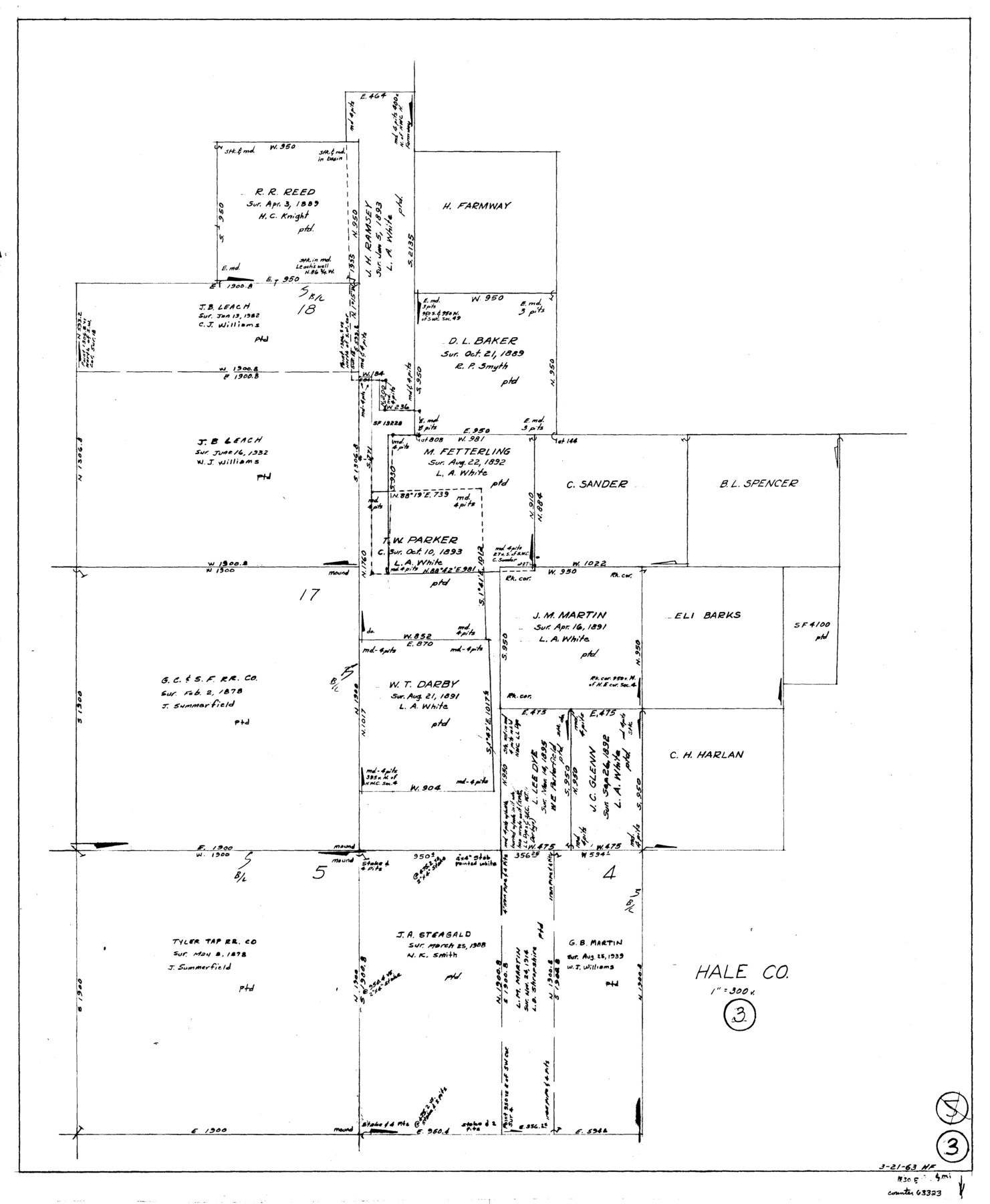
Hale County Working Sketch 3
-
Map/Doc
63323
-
Collection
General Map Collection
-
Object Dates
3/21/1963 (Creation Date)
-
People and Organizations
Herman Forbes (Draftsman)
-
Counties
Hale
-
Subjects
Surveying Working Sketch
-
Height x Width
27.0 x 22.2 inches
68.6 x 56.4 cm
-
Scale
1" = 300 varas
Part of: General Map Collection
Frio County Working Sketch 27

Print $20.00
- Digital $50.00
Frio County Working Sketch 27
Size 25.3 x 36.8 inches
Map/Doc 78193
Hardin County Rolled Sketch 8

Print $20.00
- Digital $50.00
Hardin County Rolled Sketch 8
1947
Size 23.7 x 25.8 inches
Map/Doc 6081
Atascosa County Working Sketch 19

Print $20.00
- Digital $50.00
Atascosa County Working Sketch 19
1952
Size 24.4 x 27.3 inches
Map/Doc 67215
Map of Robertson County

Print $20.00
- Digital $50.00
Map of Robertson County
1873
Size 28.0 x 21.6 inches
Map/Doc 83003
Trinity River, Levee Improvement Districts, Widths of Floodways

Print $4.00
- Digital $50.00
Trinity River, Levee Improvement Districts, Widths of Floodways
1919
Size 23.5 x 17.6 inches
Map/Doc 65250
Burnet County Boundary File 6

Print $14.00
- Digital $50.00
Burnet County Boundary File 6
Size 14.1 x 8.6 inches
Map/Doc 50886
Flight Mission No. BQY-4M, Frame 119, Harris County

Print $20.00
- Digital $50.00
Flight Mission No. BQY-4M, Frame 119, Harris County
1953
Size 18.7 x 22.4 inches
Map/Doc 85287
Blanco County Working Sketch 2

Print $20.00
- Digital $50.00
Blanco County Working Sketch 2
Size 26.6 x 20.5 inches
Map/Doc 67361
Callahan County Rolled Sketch 5

Print $40.00
- Digital $50.00
Callahan County Rolled Sketch 5
Size 52.0 x 44.1 inches
Map/Doc 5382
Castro County Sketch File 2

Print $20.00
- Digital $50.00
Castro County Sketch File 2
Size 24.7 x 17.7 inches
Map/Doc 11057
Uvalde County Rolled Sketch A

Print $20.00
- Digital $50.00
Uvalde County Rolled Sketch A
1849
Size 21.7 x 25.8 inches
Map/Doc 8104
Grayson County Boundary File 4a

Print $24.00
- Digital $50.00
Grayson County Boundary File 4a
Size 10.0 x 42.7 inches
Map/Doc 53956
You may also like
A Geographically Correct County Map of States Traversed by the St. Louis, Iron Mountain & Southern Railway and its Connections

Print $20.00
- Digital $50.00
A Geographically Correct County Map of States Traversed by the St. Louis, Iron Mountain & Southern Railway and its Connections
1876
Size 18.6 x 15.9 inches
Map/Doc 95781
Capitol Lands survey by J. T. Munson

Print $20.00
- Digital $50.00
Capitol Lands survey by J. T. Munson
Size 25.6 x 21.0 inches
Map/Doc 90575
Brazos River, Brazos River Sheet 1

Print $4.00
- Digital $50.00
Brazos River, Brazos River Sheet 1
1926
Size 21.5 x 25.4 inches
Map/Doc 65293
[Area around Runnels County School Land and I. & G. N. Block 1]
![91664, [Area around Runnels County School Land and I. & G. N. Block 1], Twichell Survey Records](https://historictexasmaps.com/wmedia_w700/maps/91664-1.tif.jpg)
Print $20.00
- Digital $50.00
[Area around Runnels County School Land and I. & G. N. Block 1]
Size 23.0 x 17.9 inches
Map/Doc 91664
Bee County Sketch File X1

Print $20.00
- Digital $50.00
Bee County Sketch File X1
1834
Size 14.2 x 8.9 inches
Map/Doc 14245
Johnson County Working Sketch 24

Print $20.00
- Digital $50.00
Johnson County Working Sketch 24
1996
Size 47.5 x 34.5 inches
Map/Doc 66637
Edward K. Warren Subdivision No. 1 Block-W Situated in Bailey, Lamb, Parmer, and Castro Counties, Texas

Print $20.00
- Digital $50.00
Edward K. Warren Subdivision No. 1 Block-W Situated in Bailey, Lamb, Parmer, and Castro Counties, Texas
1913
Size 17.6 x 14.5 inches
Map/Doc 92163
Reagan County Rolled Sketch 1

Print $20.00
- Digital $50.00
Reagan County Rolled Sketch 1
Size 20.1 x 29.5 inches
Map/Doc 7432
Presidio County Working Sketch 14

Print $20.00
- Digital $50.00
Presidio County Working Sketch 14
1942
Size 10.9 x 17.7 inches
Map/Doc 71690
Rockwall County Boundary File 76

Print $14.00
- Digital $50.00
Rockwall County Boundary File 76
Size 11.4 x 8.9 inches
Map/Doc 58497
Montgomery County Working Sketch 67

Print $20.00
- Digital $50.00
Montgomery County Working Sketch 67
1972
Size 35.0 x 29.6 inches
Map/Doc 71174
[Sketch showing Blocks 1, 3, 5, K14, 2Z, 7]
![91824, [Sketch showing Blocks 1, 3, 5, K14, 2Z, 7], Twichell Survey Records](https://historictexasmaps.com/wmedia_w700/maps/91824-1.tif.jpg)
Print $20.00
- Digital $50.00
[Sketch showing Blocks 1, 3, 5, K14, 2Z, 7]
Size 23.6 x 20.0 inches
Map/Doc 91824