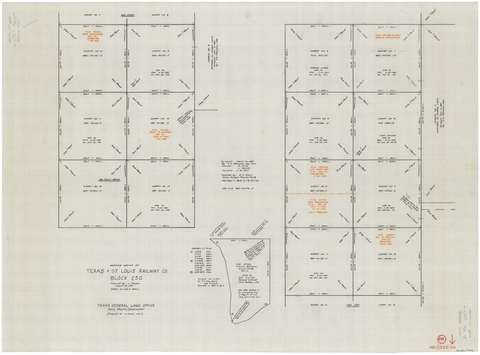
![91144, [Part of Hutchison County], Twichell Survey Records](https://historictexasmaps.com/wmedia_w1800h1800/maps/91144-1.tif.jpg)
[Part of Hutchison County]
117-26
-
Map/Doc
91144
-
Collection
Twichell Survey Records
-
Object Dates
9/1875 (Creation Date)
-
Counties
Hutchinson
-
Height x Width
7.5 x 11.5 inches
19.1 x 29.2 cm
Part of: Twichell Survey Records
Map of County Roads in Moore County

Print $20.00
- Digital $50.00
Map of County Roads in Moore County
Size 22.2 x 21.2 inches
Map/Doc 93005
[North part of PSL Block A-19 and adjoining School Land Leagues]
![93024, [North part of PSL Block A-19 and adjoining School Land Leagues], Twichell Survey Records](https://historictexasmaps.com/wmedia_w700/maps/93024-1.tif.jpg)
Print $20.00
- Digital $50.00
[North part of PSL Block A-19 and adjoining School Land Leagues]
Size 23.5 x 19.1 inches
Map/Doc 93024
Part of Garza, Crosby, Lynn, and Lubbock Counties

Print $20.00
- Digital $50.00
Part of Garza, Crosby, Lynn, and Lubbock Counties
1912
Size 25.3 x 20.0 inches
Map/Doc 91312
[H. & G. N. Block 1]
![90945, [H. & G. N. Block 1], Twichell Survey Records](https://historictexasmaps.com/wmedia_w700/maps/90945-1.tif.jpg)
Print $20.00
- Digital $50.00
[H. & G. N. Block 1]
1873
Size 17.4 x 14.1 inches
Map/Doc 90945
C. D. Collard's Lines

Print $20.00
- Digital $50.00
C. D. Collard's Lines
Size 44.1 x 47.0 inches
Map/Doc 90704
D. B. Gardner vs. Mrs. Clara C. Starr

Print $20.00
- Digital $50.00
D. B. Gardner vs. Mrs. Clara C. Starr
Size 16.3 x 28.5 inches
Map/Doc 91044
Roach Estate Ranch, Gaines County, Texas

Print $20.00
- Digital $50.00
Roach Estate Ranch, Gaines County, Texas
Size 18.0 x 34.6 inches
Map/Doc 92681
[H. & T. C. RR. Company, Block 47, Sections 20- 28]
![91249, [H. & T. C. RR. Company, Block 47, Sections 20- 28], Twichell Survey Records](https://historictexasmaps.com/wmedia_w700/maps/91249-1.tif.jpg)
Print $20.00
- Digital $50.00
[H. & T. C. RR. Company, Block 47, Sections 20- 28]
Size 16.1 x 13.7 inches
Map/Doc 91249
[Blocks M18, M23, I, Z, and Block 47, Sections 16-28]
![91244, [Blocks M18, M23, I, Z, and Block 47, Sections 16-28], Twichell Survey Records](https://historictexasmaps.com/wmedia_w700/maps/91244-1.tif.jpg)
Print $20.00
- Digital $50.00
[Blocks M18, M23, I, Z, and Block 47, Sections 16-28]
Size 19.5 x 23.6 inches
Map/Doc 91244
Sketch T [showing Capitol Reserve]
![89631, Sketch T [showing Capitol Reserve], Twichell Survey Records](https://historictexasmaps.com/wmedia_w700/maps/89631-1.tif.jpg)
Print $40.00
- Digital $50.00
Sketch T [showing Capitol Reserve]
1903
Size 22.0 x 48.9 inches
Map/Doc 89631
[Blocks B15, B8, B22]
![91981, [Blocks B15, B8, B22], Twichell Survey Records](https://historictexasmaps.com/wmedia_w700/maps/91981-1.tif.jpg)
Print $20.00
- Digital $50.00
[Blocks B15, B8, B22]
Size 22.9 x 9.9 inches
Map/Doc 91981

You may also like
Working Sketch in Archer, Clay & Wichita Co's.

Print $40.00
- Digital $50.00
Working Sketch in Archer, Clay & Wichita Co's.
Size 68.5 x 43.5 inches
Map/Doc 89719
Trinity County Working Sketch 27

Print $20.00
- Digital $50.00
Trinity County Working Sketch 27
2010
Size 26.8 x 36.8 inches
Map/Doc 90069
Maps of Gulf Intracoastal Waterway, Texas - Sabine River to the Rio Grande and connecting waterways including ship channels

Print $20.00
- Digital $50.00
Maps of Gulf Intracoastal Waterway, Texas - Sabine River to the Rio Grande and connecting waterways including ship channels
1966
Size 14.5 x 22.2 inches
Map/Doc 61928
Briscoe County Working Sketch 8

Print $20.00
- Digital $50.00
Briscoe County Working Sketch 8
1947
Size 13.2 x 15.8 inches
Map/Doc 67811
DeWitt County Working Sketch 7

Print $20.00
- Digital $50.00
DeWitt County Working Sketch 7
1977
Size 19.0 x 21.2 inches
Map/Doc 68597
Sutton County Rolled Sketch 40

Print $20.00
- Digital $50.00
Sutton County Rolled Sketch 40
1930
Size 25.9 x 28.3 inches
Map/Doc 7882
Vandelia Village an Addition to the City of Lubbock, a Subdivision of Southeast Quarter, Section 3, Block E

Print $20.00
- Digital $50.00
Vandelia Village an Addition to the City of Lubbock, a Subdivision of Southeast Quarter, Section 3, Block E
1950
Size 29.6 x 36.0 inches
Map/Doc 92725
Bailey County Sketch File 12

Print $8.00
- Digital $50.00
Bailey County Sketch File 12
Size 8.3 x 12.0 inches
Map/Doc 13969
Hays County Working Sketch 18

Print $20.00
- Digital $50.00
Hays County Working Sketch 18
1978
Size 33.4 x 32.0 inches
Map/Doc 66092
Presidio County Working Sketch 148
Print $20.00
- Digital $50.00
Presidio County Working Sketch 148
1991
Size 31.7 x 42.7 inches
Map/Doc 71826
Cameron County Working Sketch 3

Print $20.00
- Digital $50.00
Cameron County Working Sketch 3
1964
Size 40.8 x 38.6 inches
Map/Doc 67882
Greater San Antonio & Surrounding Area

Greater San Antonio & Surrounding Area
Size 36.1 x 46.0 inches
Map/Doc 96869