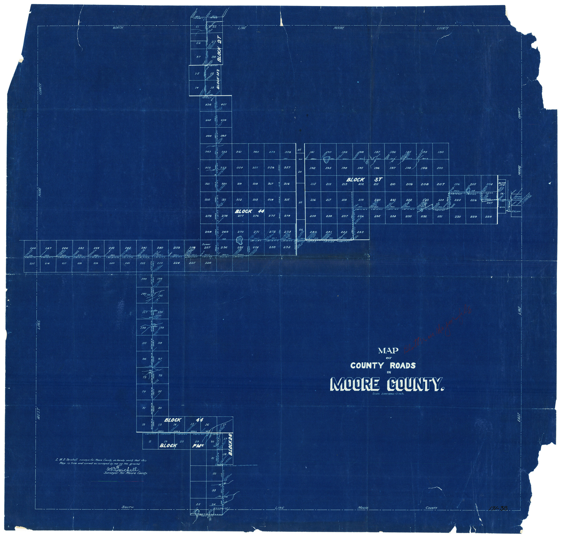
Map of County Roads in Moore County
171-38
-
Map/Doc
93005
-
Collection
Twichell Survey Records
-
People and Organizations
W.D. Twichell (Surveyor/Engineer)
-
Counties
Moore
-
Subjects
County
-
Height x Width
22.2 x 21.2 inches
56.4 x 53.9 cm
Part of: Twichell Survey Records
[T. & P. Block 43, Township 1N]
![90827, [T. & P. Block 43, Township 1N], Twichell Survey Records](https://historictexasmaps.com/wmedia_w700/maps/90827-2.tif.jpg)
Print $20.00
- Digital $50.00
[T. & P. Block 43, Township 1N]
Size 23.0 x 17.8 inches
Map/Doc 90827
[Sketch of Runnels County School Land and vicinity]
![91666, [Sketch of Runnels County School Land and vicinity], Twichell Survey Records](https://historictexasmaps.com/wmedia_w700/maps/91666-1.tif.jpg)
Print $20.00
- Digital $50.00
[Sketch of Runnels County School Land and vicinity]
Size 17.3 x 15.3 inches
Map/Doc 91666
Plat in Pecos County, Texas

Print $20.00
- Digital $50.00
Plat in Pecos County, Texas
Size 32.8 x 23.2 inches
Map/Doc 91613
Map of Independence Area, Washington County, Texas

Print $20.00
- Digital $50.00
Map of Independence Area, Washington County, Texas
1935
Size 18.6 x 16.5 inches
Map/Doc 92093
[G. C. & S. F. Block S, E. L. & R. R. Block M and B9, D. & W. Block 24]
![91278, [G. C. & S. F. Block S, E. L. & R. R. Block M and B9, D. & W. Block 24], Twichell Survey Records](https://historictexasmaps.com/wmedia_w700/maps/91278-1.tif.jpg)
Print $20.00
- Digital $50.00
[G. C. & S. F. Block S, E. L. & R. R. Block M and B9, D. & W. Block 24]
Size 20.7 x 15.7 inches
Map/Doc 91278
[Sketch filed with corrected field notes of Surveys 27, 28, 29 and 30, Block B-19, PSL]
![91848, [Sketch filed with corrected field notes of Surveys 27, 28, 29 and 30, Block B-19, PSL], Twichell Survey Records](https://historictexasmaps.com/wmedia_w700/maps/91848-1.tif.jpg)
Print $20.00
- Digital $50.00
[Sketch filed with corrected field notes of Surveys 27, 28, 29 and 30, Block B-19, PSL]
1943
Size 19.9 x 15.1 inches
Map/Doc 91848
F. Z. Bishop's Subdivision of C. C. Slaughter Ranch

Print $20.00
- Digital $50.00
F. Z. Bishop's Subdivision of C. C. Slaughter Ranch
Size 20.6 x 19.2 inches
Map/Doc 92305
[East line of North Part of Childress County along border with Oklahoma]
![92084, [East line of North Part of Childress County along border with Oklahoma], Twichell Survey Records](https://historictexasmaps.com/wmedia_w700/maps/92084-1.tif.jpg)
Print $20.00
- Digital $50.00
[East line of North Part of Childress County along border with Oklahoma]
Size 20.4 x 6.1 inches
Map/Doc 92084
Block D14 Terry County

Print $20.00
- Digital $50.00
Block D14 Terry County
Size 17.0 x 17.7 inches
Map/Doc 92416
[Sketch showing H. & T. C. Blocks 47 and M-26]
![91698, [Sketch showing H. & T. C. Blocks 47 and M-26], Twichell Survey Records](https://historictexasmaps.com/wmedia_w700/maps/91698-1.tif.jpg)
Print $3.00
- Digital $50.00
[Sketch showing H. & T. C. Blocks 47 and M-26]
Size 9.5 x 12.0 inches
Map/Doc 91698
[Blocks C, M and B, north of Morris County School Land]
![90488, [Blocks C, M and B, north of Morris County School Land], Twichell Survey Records](https://historictexasmaps.com/wmedia_w700/maps/90488-1.tif.jpg)
Print $20.00
- Digital $50.00
[Blocks C, M and B, north of Morris County School Land]
Size 20.0 x 15.0 inches
Map/Doc 90488
Working Sketch in Hutchinson County

Print $20.00
- Digital $50.00
Working Sketch in Hutchinson County
1932
Size 18.4 x 27.0 inches
Map/Doc 91164
You may also like
A Geological Map of the United States

Print $20.00
A Geological Map of the United States
Size 10.2 x 15.9 inches
Map/Doc 95281
Flight Mission No. DCL-7C, Frame 78, Kenedy County

Print $20.00
- Digital $50.00
Flight Mission No. DCL-7C, Frame 78, Kenedy County
1943
Size 15.3 x 15.2 inches
Map/Doc 86064
Zavala County Sketch File 10

Print $20.00
- Digital $50.00
Zavala County Sketch File 10
Size 17.6 x 25.7 inches
Map/Doc 12728
Right of Way & Track Map San Antonio & Aransas Pass Railway Co.

Print $40.00
- Digital $50.00
Right of Way & Track Map San Antonio & Aransas Pass Railway Co.
1919
Size 24.8 x 55.8 inches
Map/Doc 64038
[Sketch of part of G. & M. Block 5]
![93096, [Sketch of part of G. & M. Block 5], Twichell Survey Records](https://historictexasmaps.com/wmedia_w700/maps/93096-1.tif.jpg)
Print $2.00
- Digital $50.00
[Sketch of part of G. & M. Block 5]
Size 8.1 x 9.3 inches
Map/Doc 93096
Crockett County Working Sketch 62

Print $40.00
- Digital $50.00
Crockett County Working Sketch 62
1956
Size 35.4 x 66.1 inches
Map/Doc 63760
Map of Bell County

Print $40.00
- Digital $50.00
Map of Bell County
1896
Size 49.0 x 53.5 inches
Map/Doc 4768
Goliad County Sketch File 41a

Print $4.00
- Digital $50.00
Goliad County Sketch File 41a
1958
Size 11.3 x 8.8 inches
Map/Doc 24347
Matagorda County Working Sketch 20

Print $20.00
- Digital $50.00
Matagorda County Working Sketch 20
1961
Size 26.1 x 37.7 inches
Map/Doc 70878
[Blocks 21, 22, 23, and 24]
![91110, [Blocks 21, 22, 23, and 24], Twichell Survey Records](https://historictexasmaps.com/wmedia_w700/maps/91110-1.tif.jpg)
Print $20.00
- Digital $50.00
[Blocks 21, 22, 23, and 24]
Size 14.0 x 12.8 inches
Map/Doc 91110
[B. S. & F. Block 1 and A. B. & M. Block 2]
![91815, [B. S. & F. Block 1 and A. B. & M. Block 2], Twichell Survey Records](https://historictexasmaps.com/wmedia_w700/maps/91815-1.tif.jpg)
Print $20.00
- Digital $50.00
[B. S. & F. Block 1 and A. B. & M. Block 2]
Size 14.0 x 21.5 inches
Map/Doc 91815
Dickens County Sketch File H1

Print $20.00
- Digital $50.00
Dickens County Sketch File H1
1902
Size 16.7 x 15.1 inches
Map/Doc 11336