[Sketch filed with corrected field notes of Surveys 27, 28, 29 and 30, Block B-19, PSL]
238-25
-
Map/Doc
91848
-
Collection
Twichell Survey Records
-
Object Dates
2/23/1943 (Creation Date)
-
People and Organizations
Sylvan Sanders (Surveyor/Engineer)
-
Counties
Ward
-
Height x Width
19.9 x 15.1 inches
50.6 x 38.4 cm
Part of: Twichell Survey Records
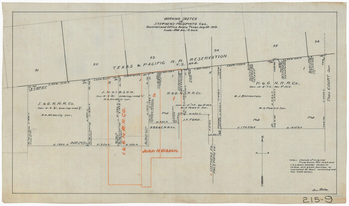
Working Sketch in Stephens-Palo Pinto Cos.

Print $20.00
- Digital $50.00
Working Sketch in Stephens-Palo Pinto Cos.
1919
Size 22.3 x 13.3 inches
Map/Doc 91918
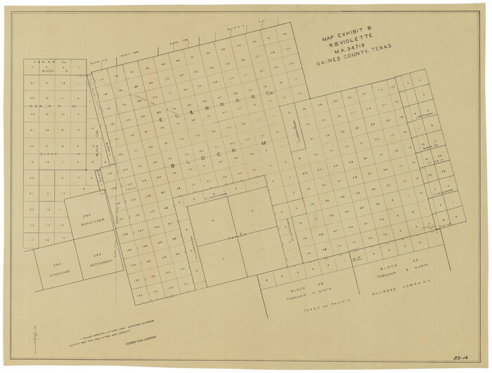
Map Exhibit B, R. B. Violette M. A. 34719, Gaines County, Texas

Print $20.00
- Digital $50.00
Map Exhibit B, R. B. Violette M. A. 34719, Gaines County, Texas
Size 30.0 x 23.0 inches
Map/Doc 90835
[Sketch Between Wheeler County and Oklahoma]
![89665, [Sketch Between Wheeler County and Oklahoma], Twichell Survey Records](https://historictexasmaps.com/wmedia_w700/maps/89665-1.tif.jpg)
![89665, [Sketch Between Wheeler County and Oklahoma], Twichell Survey Records](https://historictexasmaps.com/wmedia_w700/maps/89665-1.tif.jpg)
Print $40.00
- Digital $50.00
[Sketch Between Wheeler County and Oklahoma]
Size 8.8 x 62.7 inches
Map/Doc 89665
[West and North lines of the Panhandle]
![90576, [West and North lines of the Panhandle], Twichell Survey Records](https://historictexasmaps.com/wmedia_w700/maps/90576-1.tif.jpg)
![90576, [West and North lines of the Panhandle], Twichell Survey Records](https://historictexasmaps.com/wmedia_w700/maps/90576-1.tif.jpg)
Print $20.00
- Digital $50.00
[West and North lines of the Panhandle]
1885
Size 22.0 x 32.1 inches
Map/Doc 90576
[T. A. Thomson Block T, R. M. Thomson Block 1, and Block B]
![91054, [T. A. Thomson Block T, R. M. Thomson Block 1, and Block B], Twichell Survey Records](https://historictexasmaps.com/wmedia_w700/maps/91054-1.tif.jpg)
![91054, [T. A. Thomson Block T, R. M. Thomson Block 1, and Block B], Twichell Survey Records](https://historictexasmaps.com/wmedia_w700/maps/91054-1.tif.jpg)
Print $20.00
- Digital $50.00
[T. A. Thomson Block T, R. M. Thomson Block 1, and Block B]
Size 17.3 x 20.4 inches
Map/Doc 91054
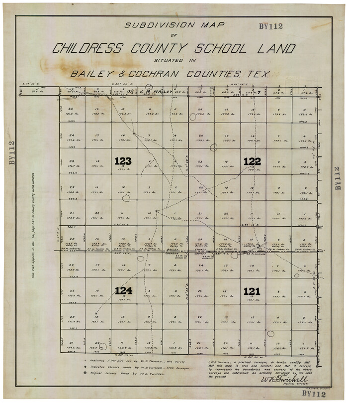
Subdivision Map of Childress County School Land Situated in Bailey and Cochran Counties, Texas

Print $20.00
- Digital $50.00
Subdivision Map of Childress County School Land Situated in Bailey and Cochran Counties, Texas
Size 23.0 x 26.4 inches
Map/Doc 92526
James Subdivision, NE/4 Section 1, Block E, G. C. & S. F. R.R. Co. Cert 3/360, Abstract 46


Print $20.00
- Digital $50.00
James Subdivision, NE/4 Section 1, Block E, G. C. & S. F. R.R. Co. Cert 3/360, Abstract 46
Size 17.8 x 19.4 inches
Map/Doc 92734
[Blocks B, T, and 1]
![90972, [Blocks B, T, and 1], Twichell Survey Records](https://historictexasmaps.com/wmedia_w700/maps/90972-1.tif.jpg)
![90972, [Blocks B, T, and 1], Twichell Survey Records](https://historictexasmaps.com/wmedia_w700/maps/90972-1.tif.jpg)
Print $2.00
- Digital $50.00
[Blocks B, T, and 1]
Size 9.2 x 13.7 inches
Map/Doc 90972
[Potter County Blocks 25, P&Mc, O18, G&M2]
![93215, [Potter County Blocks 25, P&Mc, O18, G&M2], Twichell Survey Records](https://historictexasmaps.com/wmedia_w700/maps/93215-1.tif.jpg)
![93215, [Potter County Blocks 25, P&Mc, O18, G&M2], Twichell Survey Records](https://historictexasmaps.com/wmedia_w700/maps/93215-1.tif.jpg)
Print $20.00
- Digital $50.00
[Potter County Blocks 25, P&Mc, O18, G&M2]
Size 28.7 x 19.2 inches
Map/Doc 93215
[Scripture Addition to the City of Denton]
![90586, [Scripture Addition to the City of Denton], Twichell Survey Records](https://historictexasmaps.com/wmedia_w700/maps/90586-1.tif.jpg)
![90586, [Scripture Addition to the City of Denton], Twichell Survey Records](https://historictexasmaps.com/wmedia_w700/maps/90586-1.tif.jpg)
Print $20.00
- Digital $50.00
[Scripture Addition to the City of Denton]
Size 35.4 x 31.4 inches
Map/Doc 90586
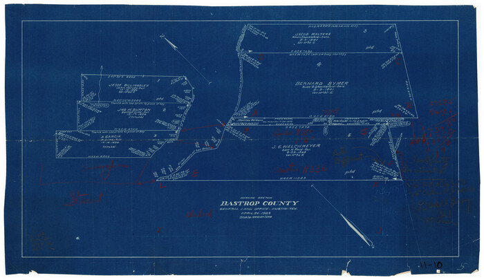
Working Sketch Bastrop County

Print $20.00
- Digital $50.00
Working Sketch Bastrop County
1923
Size 22.7 x 13.2 inches
Map/Doc 90149
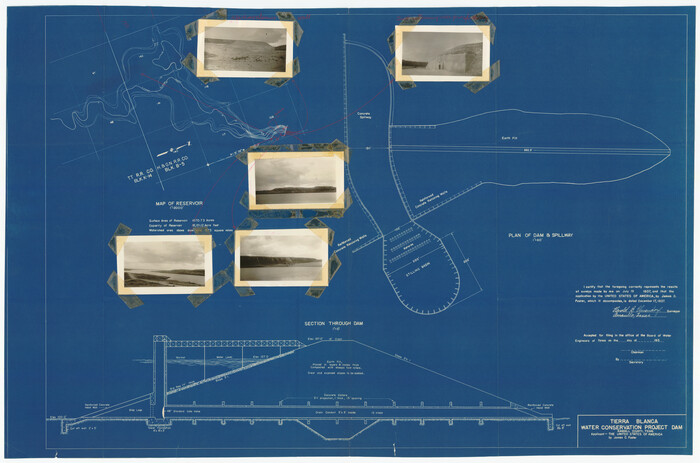
Tierra Blanca Water Conservation Project Dam

Print $20.00
- Digital $50.00
Tierra Blanca Water Conservation Project Dam
1937
Size 37.7 x 25.1 inches
Map/Doc 92157
You may also like
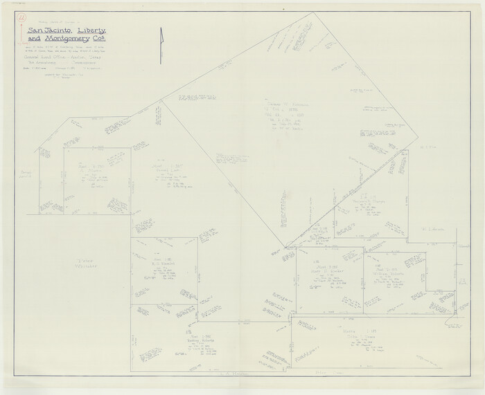
Liberty County Working Sketch 77

Print $20.00
- Digital $50.00
Liberty County Working Sketch 77
Size 37.4 x 45.9 inches
Map/Doc 70537
Bow compass with ruling pen attachment
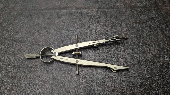

Bow compass with ruling pen attachment
Size 6.5 x 3.3 inches
Map/Doc 97316
Roberts County Working Sketch 35


Print $20.00
- Digital $50.00
Roberts County Working Sketch 35
1978
Size 26.7 x 22.5 inches
Map/Doc 63561
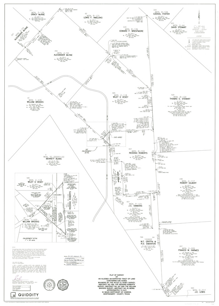
Montgomery County Rolled Sketch 51

Print $20.00
- Digital $50.00
Montgomery County Rolled Sketch 51
2021
Map/Doc 97369
Sabine County Sketch File 6a
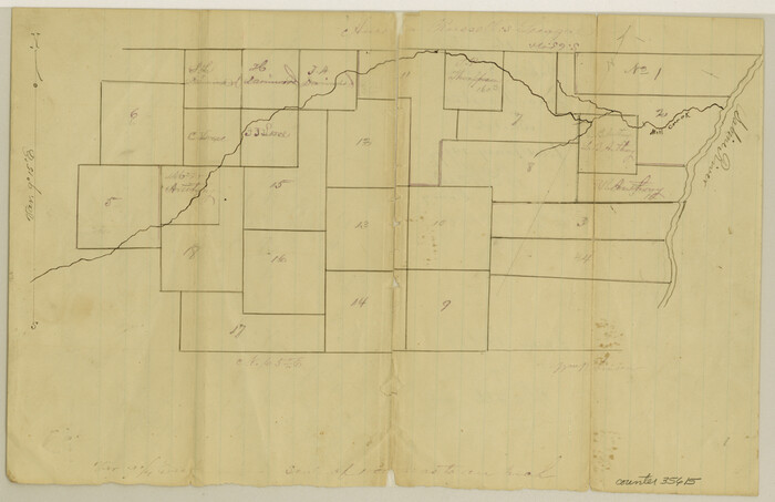

Print $4.00
Sabine County Sketch File 6a
1878
Size 8.1 x 12.5 inches
Map/Doc 35615
[F. W. & D. C. Ry. Co. Alignment and Right of Way Map, Clay County]
![64745, [F. W. & D. C. Ry. Co. Alignment and Right of Way Map, Clay County], General Map Collection](https://historictexasmaps.com/wmedia_w700/maps/64745-GC.tif.jpg)
![64745, [F. W. & D. C. Ry. Co. Alignment and Right of Way Map, Clay County], General Map Collection](https://historictexasmaps.com/wmedia_w700/maps/64745-GC.tif.jpg)
Print $20.00
- Digital $50.00
[F. W. & D. C. Ry. Co. Alignment and Right of Way Map, Clay County]
1927
Size 18.7 x 11.8 inches
Map/Doc 64745
Briscoe County Sketch File O-1


Print $2.00
- Digital $50.00
Briscoe County Sketch File O-1
1935
Size 11.3 x 7.2 inches
Map/Doc 16425
Township 9 South Range 13 West, South Western District, Louisiana
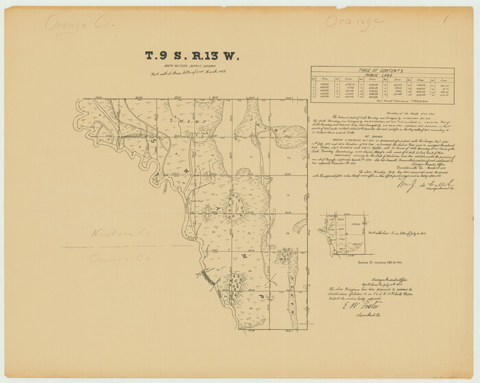

Print $20.00
- Digital $50.00
Township 9 South Range 13 West, South Western District, Louisiana
1858
Size 19.8 x 24.8 inches
Map/Doc 65852
Sketch of surveys in Harrison & Marion Cos. Showing Caddo Lake & Subdivisions
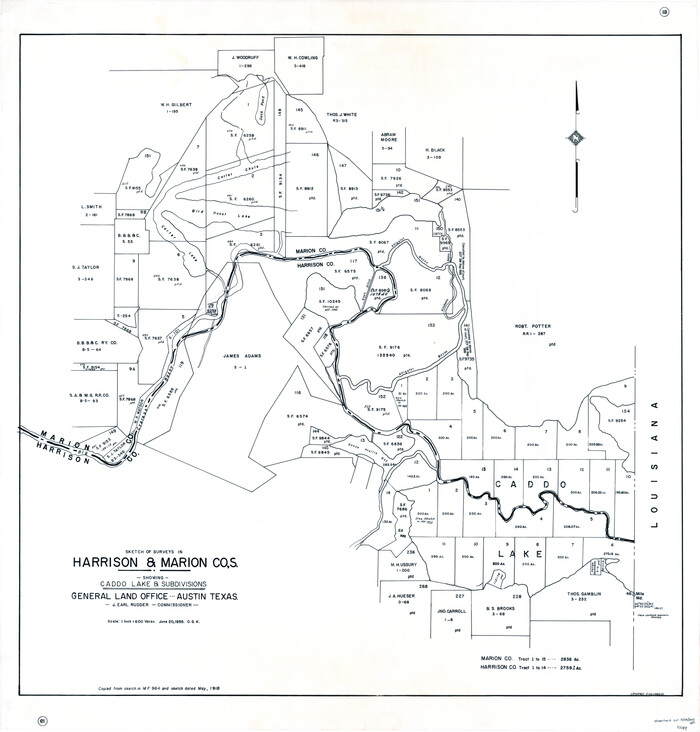

Print $20.00
- Digital $50.00
Sketch of surveys in Harrison & Marion Cos. Showing Caddo Lake & Subdivisions
1955
Size 33.8 x 32.4 inches
Map/Doc 93284
Ochiltree County Boundary File 10


Print $24.00
- Digital $50.00
Ochiltree County Boundary File 10
Size 11.2 x 8.7 inches
Map/Doc 57728
Brewster County Sketch File FN-35
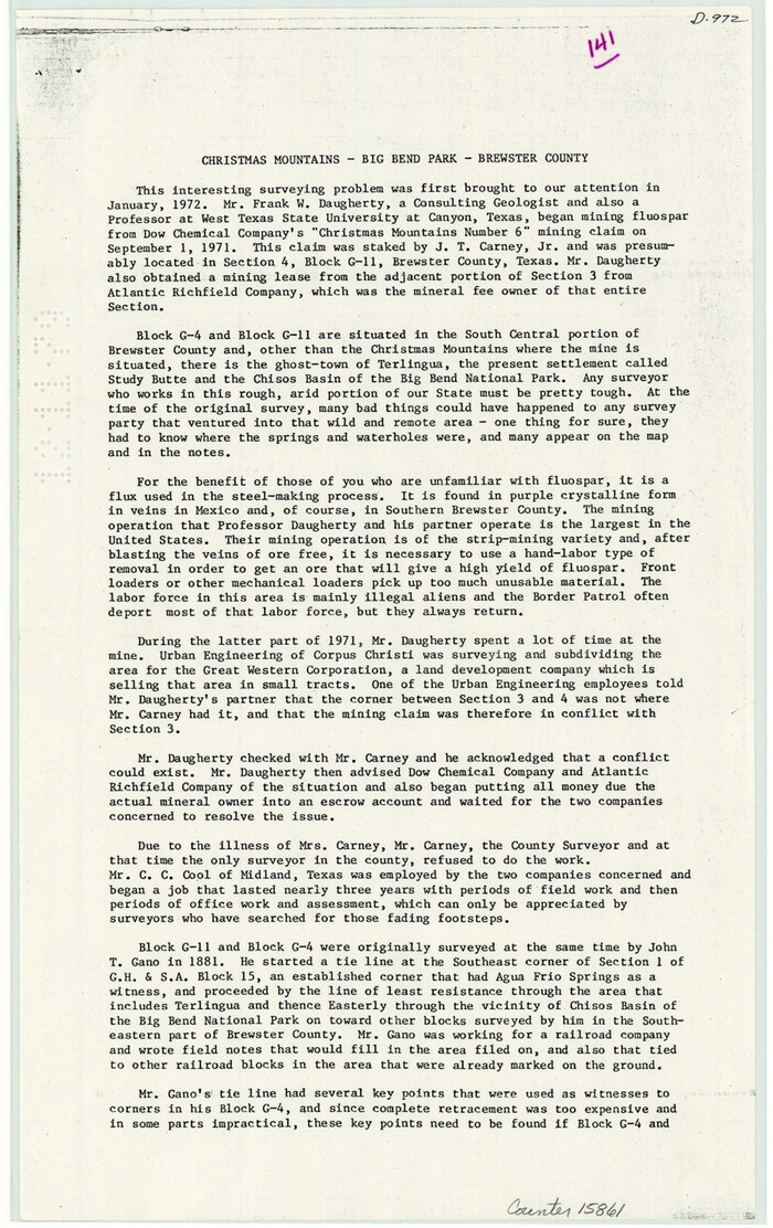

Print $8.00
- Digital $50.00
Brewster County Sketch File FN-35
1979
Size 14.2 x 8.9 inches
Map/Doc 15861
Garza County Sketch File 23


Print $6.00
- Digital $50.00
Garza County Sketch File 23
1907
Size 11.3 x 8.7 inches
Map/Doc 24080
![91848, [Sketch filed with corrected field notes of Surveys 27, 28, 29 and 30, Block B-19, PSL], Twichell Survey Records](https://historictexasmaps.com/wmedia_w1800h1800/maps/91848-1.tif.jpg)