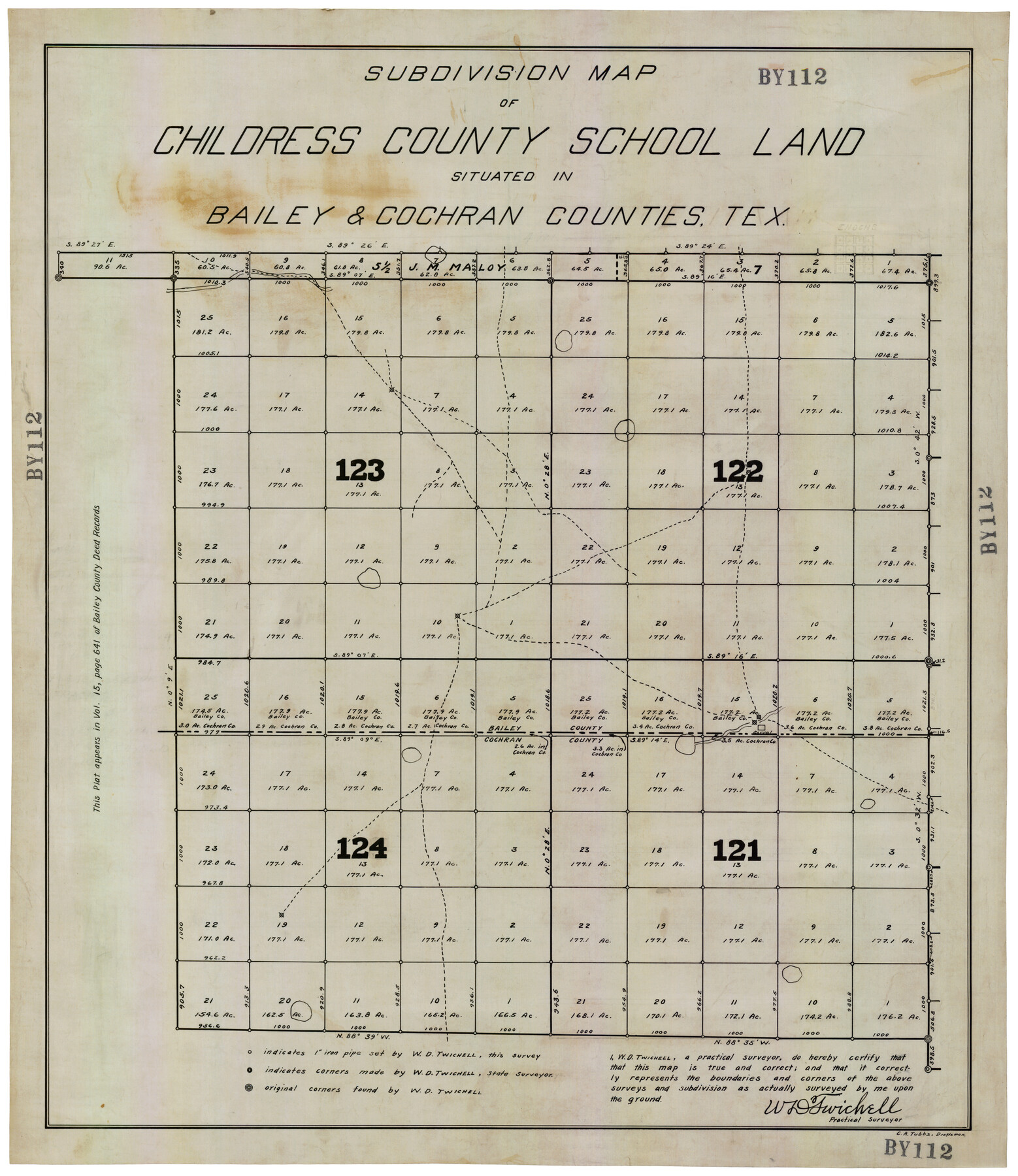
Subdivision Map of Childress County School Land Situated in Bailey and Cochran Counties, Texas
BY112
-
Map/Doc
92526
-
Collection
Twichell Survey Records
-
People and Organizations
C.A. Tubbs (Draftsman)
W.D. Twichell (Surveyor/Engineer)
-
Counties
Bailey Cochran
-
Height x Width
23.0 x 26.4 inches
58.4 x 67.1 cm
Part of: Twichell Survey Records
![91316, [Loving County], Twichell Survey Records](https://historictexasmaps.com/wmedia_w700/maps/91316-1.tif.jpg)
University of Texas System University Lands

Print $20.00
- Digital $50.00
University of Texas System University Lands
1933
Size 23.0 x 17.7 inches
Map/Doc 93248
[PSL Blocks C31-C39]
![90790, [PSL Blocks C31-C39], Twichell Survey Records](https://historictexasmaps.com/wmedia_w700/maps/90790-1.tif.jpg)
Print $20.00
- Digital $50.00
[PSL Blocks C31-C39]
Size 43.1 x 9.8 inches
Map/Doc 90790
[Sketch in vicinity of Wm. McCutcheon, S. H. Reid and John McGinley]
![90115, [Sketch in vicinity of Wm. McCutcheon, S. H. Reid and John McGinley], Twichell Survey Records](https://historictexasmaps.com/wmedia_w700/maps/90115-1.tif.jpg)
Print $20.00
- Digital $50.00
[Sketch in vicinity of Wm. McCutcheon, S. H. Reid and John McGinley]
1923
Size 20.0 x 13.2 inches
Map/Doc 90115
[Worksheets related to the Wilson Strickland survey and vicinity]
![91267, [Vicinity and related to the Wilson Strickland Survey], Twichell Survey Records](https://historictexasmaps.com/wmedia_w700/maps/91267-1.tif.jpg)
Print $20.00
- Digital $50.00
[Worksheets related to the Wilson Strickland survey and vicinity]
Size 21.7 x 19.4 inches
Map/Doc 91267
[Sketch Showing Connections Between Blocks X, RG, and A]
![91375, [Sketch Showing Connections Between Blocks X, RG, and A], Twichell Survey Records](https://historictexasmaps.com/wmedia_w700/maps/91375-1.tif.jpg)
Print $20.00
- Digital $50.00
[Sketch Showing Connections Between Blocks X, RG, and A]
Size 17.5 x 26.0 inches
Map/Doc 91375
University of Texas System University Lands

Print $20.00
- Digital $50.00
University of Texas System University Lands
Size 17.8 x 23.4 inches
Map/Doc 93245
[North 1/2 of Garza County, South 1/2 of Crosby County]
![90908, [North 1/2 of Garza County, South 1/2 of Crosby County], Twichell Survey Records](https://historictexasmaps.com/wmedia_w700/maps/90908-1.tif.jpg)
Print $20.00
- Digital $50.00
[North 1/2 of Garza County, South 1/2 of Crosby County]
Size 34.7 x 31.1 inches
Map/Doc 90908
Plat in Pecos County, Texas

Print $20.00
- Digital $50.00
Plat in Pecos County, Texas
Size 32.8 x 23.2 inches
Map/Doc 91613
Deaf Smith County, Texas / [Sec. 144, Blk. K-5]
![90623, Deaf Smith County, Texas / [Sec. 144, Blk. K-5], Twichell Survey Records](https://historictexasmaps.com/wmedia_w700/maps/90623-1.tif.jpg)
Print $20.00
- Digital $50.00
Deaf Smith County, Texas / [Sec. 144, Blk. K-5]
Size 22.9 x 22.8 inches
Map/Doc 90623
G. T. Oliver's Subdivisions of the Motley and Foard County School Leagues situated in Bailey Co., Texas

Print $20.00
- Digital $50.00
G. T. Oliver's Subdivisions of the Motley and Foard County School Leagues situated in Bailey Co., Texas
1909
Size 24.5 x 37.3 inches
Map/Doc 90181
Washburn situated in Armstrong County, Texas on surveys 62, 63, 98 & 99, Block B4

Print $20.00
- Digital $50.00
Washburn situated in Armstrong County, Texas on surveys 62, 63, 98 & 99, Block B4
Size 44.2 x 31.4 inches
Map/Doc 90261
You may also like
Intracoastal Waterway, Houma, LA to Corpus Christi, TX

Print $4.00
- Digital $50.00
Intracoastal Waterway, Houma, LA to Corpus Christi, TX
Size 23.8 x 22.0 inches
Map/Doc 61910
Hardin County Rolled Sketch 6

Print $20.00
- Digital $50.00
Hardin County Rolled Sketch 6
1938
Size 29.7 x 22.7 inches
Map/Doc 6079
Galveston Bay Entrance - Galveston and Texas City Harbors

Print $40.00
- Digital $50.00
Galveston Bay Entrance - Galveston and Texas City Harbors
1992
Size 37.1 x 55.6 inches
Map/Doc 69866
Flight Mission No. DQO-8K, Frame 71, Galveston County

Print $20.00
- Digital $50.00
Flight Mission No. DQO-8K, Frame 71, Galveston County
1952
Size 18.6 x 22.4 inches
Map/Doc 85175
Lamb County Sketch File 14

Print $6.00
- Digital $50.00
Lamb County Sketch File 14
1914
Size 7.3 x 8.7 inches
Map/Doc 29374
Intracoastal Waterway in Texas - Corpus Christi to Point Isabel including Arroyo Colorado to Mo. Pac. R.R. Bridge Near Harlingen

Print $20.00
- Digital $50.00
Intracoastal Waterway in Texas - Corpus Christi to Point Isabel including Arroyo Colorado to Mo. Pac. R.R. Bridge Near Harlingen
1933
Size 28.1 x 41.0 inches
Map/Doc 61844
Jim Wells County Working Sketch 10

Print $20.00
- Digital $50.00
Jim Wells County Working Sketch 10
1952
Size 18.7 x 17.8 inches
Map/Doc 66608
Erath County Working Sketch 21

Print $20.00
- Digital $50.00
Erath County Working Sketch 21
1965
Size 23.9 x 19.8 inches
Map/Doc 69102
Texas and part of Mexico and the United States showing the Route of the First Santa Fe Expedition

Print $20.00
Texas and part of Mexico and the United States showing the Route of the First Santa Fe Expedition
1844
Size 20.3 x 15.8 inches
Map/Doc 79730
Stonewall County Working Sketch 27

Print $20.00
- Digital $50.00
Stonewall County Working Sketch 27
1976
Size 20.7 x 29.9 inches
Map/Doc 62334
San Patricio County Rolled Sketch 49

Print $20.00
- Digital $50.00
San Patricio County Rolled Sketch 49
1979
Size 19.7 x 17.7 inches
Map/Doc 7734
Survey of 77 Blocks, State University Land

Survey of 77 Blocks, State University Land
1884
Size 13.5 x 8.5 inches
Map/Doc 81693