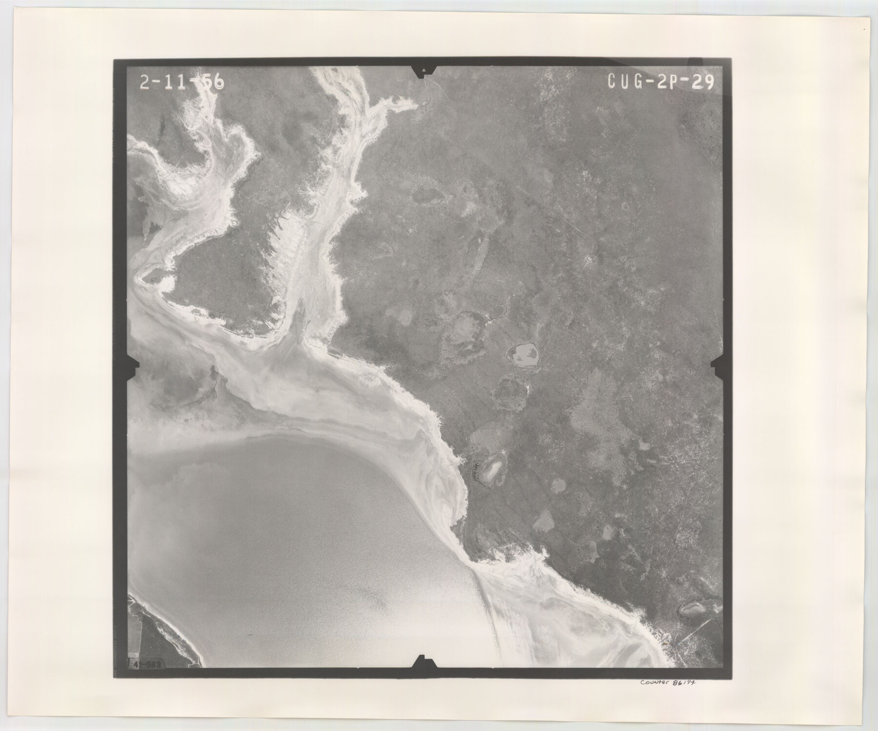
Flight Mission No. CUG-2P, Frame 29, Kleberg County
CUG-2P-29
-
Map/Doc
86194
-
Collection
General Map Collection
-
Object Dates
1956/2/11 (Creation Date)
-
People and Organizations
U. S. Department of Agriculture (Publisher)
-
Counties
Kleberg
-
Subjects
Aerial Photograph
-
Height x Width
18.6 x 22.4 inches
47.2 x 56.9 cm
-
Comments
Flown by V. L. Beavers and Associates of San Antonio, Texas.
Part of: General Map Collection
Gulf Intracoastal Waterway, Tex. - Aransas Bay to Corpus Christi Bay - Modified Route of Main Channel/Dredging

Print $20.00
- Digital $50.00
Gulf Intracoastal Waterway, Tex. - Aransas Bay to Corpus Christi Bay - Modified Route of Main Channel/Dredging
1958
Size 31.0 x 42.8 inches
Map/Doc 61893
Map of Brown County

Print $20.00
- Digital $50.00
Map of Brown County
1899
Size 47.2 x 34.0 inches
Map/Doc 4754
Flight Mission No. DQO-1K, Frame 89, Galveston County

Print $20.00
- Digital $50.00
Flight Mission No. DQO-1K, Frame 89, Galveston County
1952
Size 18.9 x 22.5 inches
Map/Doc 84985
Victoria County Working Sketch 3

Print $20.00
- Digital $50.00
Victoria County Working Sketch 3
1939
Size 14.0 x 18.3 inches
Map/Doc 72273
Live Oak County Working Sketch 1

Print $20.00
- Digital $50.00
Live Oak County Working Sketch 1
Size 20.4 x 29.1 inches
Map/Doc 70586
Chambers County NRC Article 33.136 Sketch 11

Print $28.00
- Digital $50.00
Chambers County NRC Article 33.136 Sketch 11
2014
Size 24.0 x 36.0 inches
Map/Doc 94740
Reagan County Rolled Sketch 8

Print $20.00
- Digital $50.00
Reagan County Rolled Sketch 8
Size 30.2 x 26.7 inches
Map/Doc 7436
Traced from Genl. Arista's map captured by the American Army under Genl. Taylor at Resaca de la Palma 9th May '46 and presented to James K. Polk, President U. States

Print $20.00
- Digital $50.00
Traced from Genl. Arista's map captured by the American Army under Genl. Taylor at Resaca de la Palma 9th May '46 and presented to James K. Polk, President U. States
1846
Size 18.2 x 27.3 inches
Map/Doc 73060
Flight Mission No. DAH-17M, Frame 29, Orange County

Print $20.00
- Digital $50.00
Flight Mission No. DAH-17M, Frame 29, Orange County
1953
Size 18.7 x 22.5 inches
Map/Doc 86892
Flight Mission No. CGI-3N, Frame 132, Cameron County

Print $20.00
- Digital $50.00
Flight Mission No. CGI-3N, Frame 132, Cameron County
1954
Size 18.4 x 22.2 inches
Map/Doc 84605
San Luis Pass to East Matagorda Bay

Print $20.00
- Digital $50.00
San Luis Pass to East Matagorda Bay
1966
Size 34.6 x 46.5 inches
Map/Doc 69965
Flight Mission No. DAG-21K, Frame 30, Matagorda County

Print $20.00
- Digital $50.00
Flight Mission No. DAG-21K, Frame 30, Matagorda County
1952
Size 18.5 x 22.4 inches
Map/Doc 86397
You may also like
Freestone County Rolled Sketch 7

Print $20.00
- Digital $50.00
Freestone County Rolled Sketch 7
1918
Size 41.4 x 36.9 inches
Map/Doc 8895
Uvalde County Working Sketch 50

Print $40.00
- Digital $50.00
Uvalde County Working Sketch 50
1980
Size 55.7 x 36.6 inches
Map/Doc 72120
Old Miscellaneous File 25

Print $40.00
- Digital $50.00
Old Miscellaneous File 25
Size 17.8 x 15.2 inches
Map/Doc 75632
Railroad Track Map, H&TCRRCo., Falls County, Texas

Print $4.00
- Digital $50.00
Railroad Track Map, H&TCRRCo., Falls County, Texas
1918
Size 11.5 x 18.5 inches
Map/Doc 62856
Map of Hill County

Print $20.00
- Digital $50.00
Map of Hill County
1857
Size 21.5 x 25.6 inches
Map/Doc 3672
Flight Mission No. CRC-4R, Frame 148, Chambers County

Print $20.00
- Digital $50.00
Flight Mission No. CRC-4R, Frame 148, Chambers County
1956
Size 18.7 x 22.4 inches
Map/Doc 84911
Carson County Working Sketch 1

Print $40.00
- Digital $50.00
Carson County Working Sketch 1
Size 44.6 x 77.4 inches
Map/Doc 67872
Duval County Working Sketch 41

Print $20.00
- Digital $50.00
Duval County Working Sketch 41
1963
Size 24.1 x 22.9 inches
Map/Doc 68765
Waller County Sketch File 6

Print $12.00
- Digital $50.00
Waller County Sketch File 6
Size 13.1 x 6.3 inches
Map/Doc 39602
McClennan County Robertson District East of the Brazos Milam District West of the Brazos

Print $20.00
- Digital $50.00
McClennan County Robertson District East of the Brazos Milam District West of the Brazos
1878
Size 21.0 x 23.4 inches
Map/Doc 3865
Sabine Pass and mouth of the River Sabine

Print $20.00
- Digital $50.00
Sabine Pass and mouth of the River Sabine
1840
Size 27.0 x 18.3 inches
Map/Doc 72726
Midland County Boundary File 3

Print $4.00
- Digital $50.00
Midland County Boundary File 3
Size 8.2 x 8.3 inches
Map/Doc 57174