
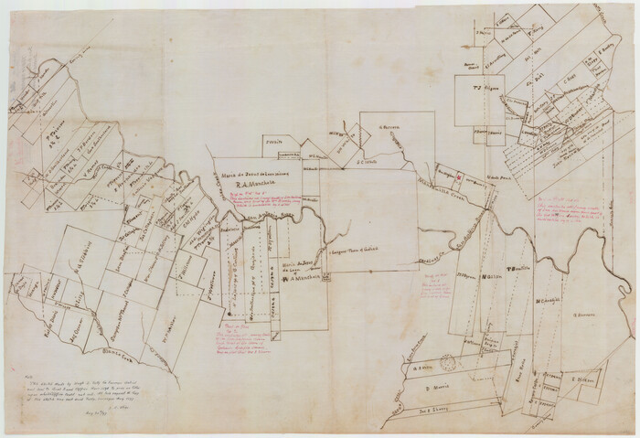
Surveys on the Coleto Creek, Goliad County
1841
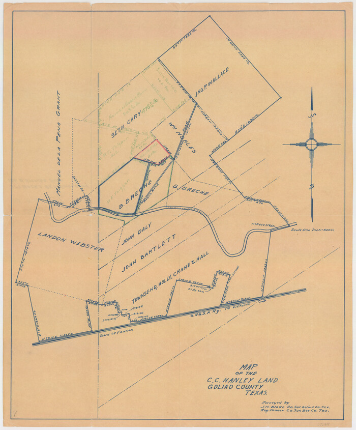
Goliad County Sketch File A
1897
Goliad County Sketch File 27

Goliad County Sketch File 28
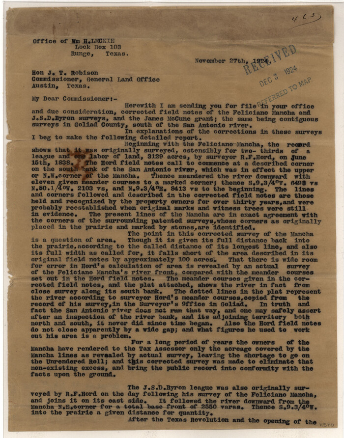
Goliad County Sketch File 35
1924
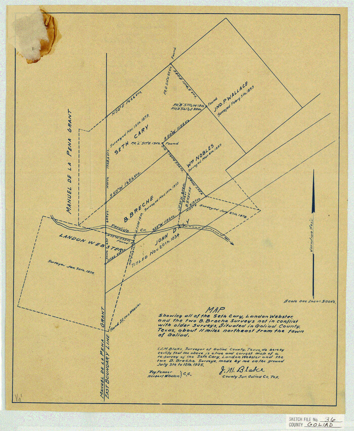
Goliad County Sketch File 36
1925
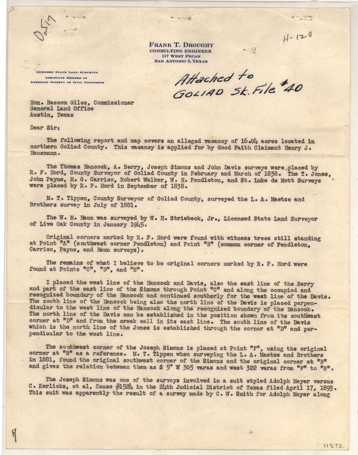
Goliad County Sketch File 40
1949
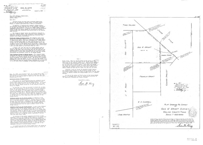
Goliad County Sketch File 41
1958
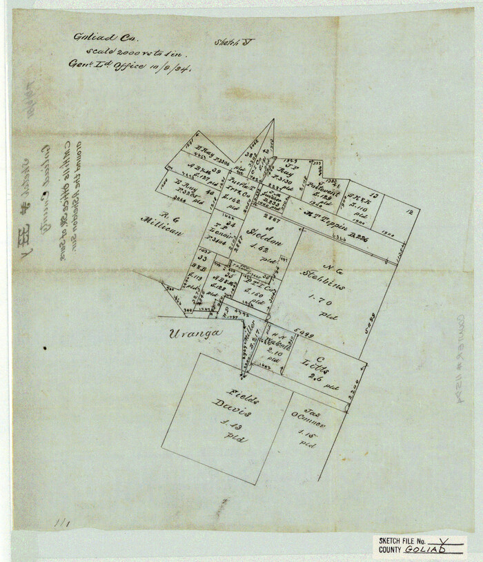
Goliad County Sketch File Y
1894
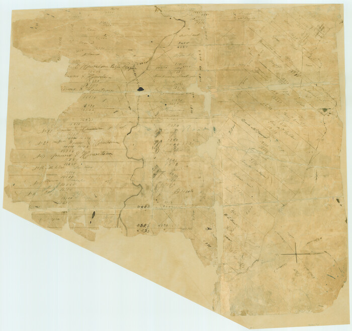
[Surveys in Power and Hewetson's Colony]
1830
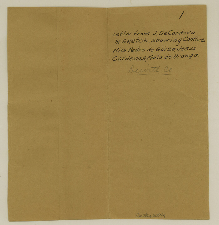
DeWitt County Sketch File 1
1851

Goliad County Sketch File 1
1857
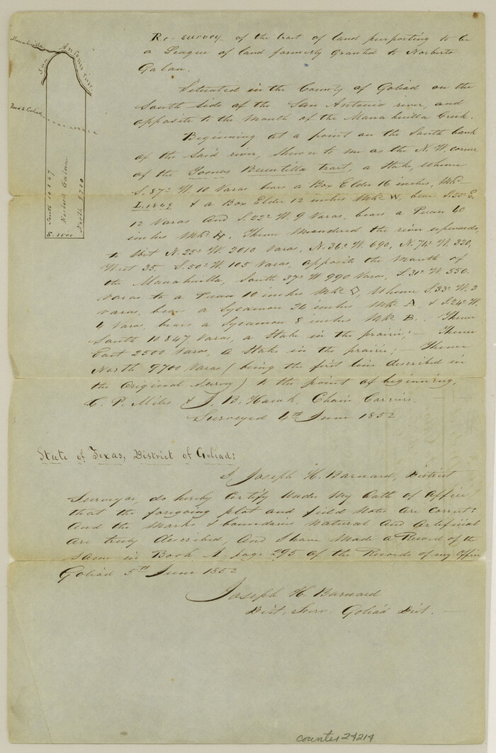
Goliad County Sketch File 3
1852
Goliad County Sketch File 4
1857
Goliad County Sketch File 5

Goliad County Sketch File 6
1857

Goliad County Sketch File 8
1848
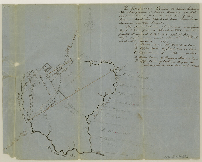
Goliad County Sketch File 9
1849
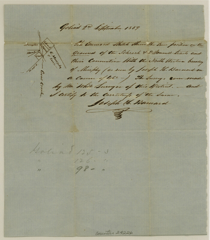
Goliad County Sketch File 10
1859
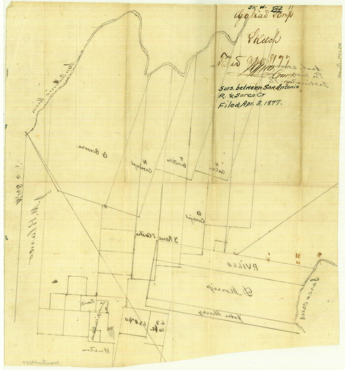
Goliad County Sketch File 11

Goliad County Sketch File 12
1857

Goliad County Sketch File 13
1856

Goliad County Sketch File 14
1878
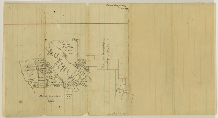
Goliad County Sketch File 15
1879

Goliad County Sketch File 16

Goliad County Sketch File 17
1851

Goliad County Sketch File 18
1854

Surveys on the Coleto Creek, Goliad County
1841
-
Size
13.8 x 14.9 inches
-
Map/Doc
10
-
Creation Date
1841

Goliad County Sketch File A
1897
-
Size
30.6 x 32.9 inches
-
Map/Doc
10465
-
Creation Date
1897

Goliad County Sketch File 27
-
Size
19.0 x 24.4 inches
-
Map/Doc
11568

Goliad County Sketch File 28
-
Size
18.9 x 15.5 inches
-
Map/Doc
11569

Goliad County Sketch File 35
1924
-
Size
22.8 x 27.6 inches
-
Map/Doc
11570
-
Creation Date
1924

Goliad County Sketch File 36
1925
-
Size
17.1 x 14.1 inches
-
Map/Doc
11571
-
Creation Date
1925

Goliad County Sketch File 40
1949
-
Size
23.9 x 36.0 inches
-
Map/Doc
11572
-
Creation Date
1949

Goliad County Sketch File 41
1958
-
Size
25.2 x 35.3 inches
-
Map/Doc
11573
-
Creation Date
1958

Goliad County Sketch File Y
1894
-
Size
14.1 x 12.1 inches
-
Map/Doc
11574
-
Creation Date
1894

Goliad Co.
1896
-
Size
44.3 x 45.2 inches
-
Map/Doc
16836
-
Creation Date
1896

Goliad County
1946
-
Size
42.3 x 44.7 inches
-
Map/Doc
1840
-
Creation Date
1946
![2, [Surveys in Power and Hewetson's Colony], General Map Collection](https://historictexasmaps.com/wmedia_w700/maps/2.tif.jpg)
[Surveys in Power and Hewetson's Colony]
1830
-
Size
21.3 x 22.5 inches
-
Map/Doc
2
-
Creation Date
1830

DeWitt County Sketch File 1
1851
-
Size
8.4 x 8.2 inches
-
Map/Doc
20794
-
Creation Date
1851
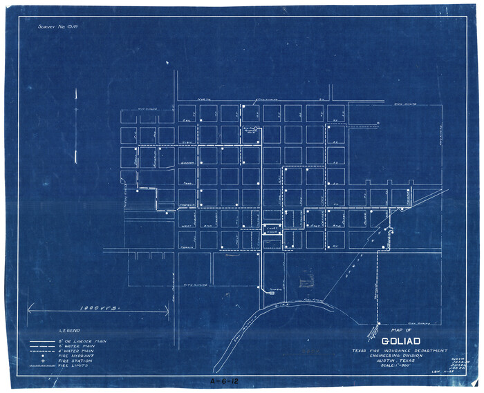
Map of Goliad
1929
-
Size
15.4 x 19.0 inches
-
Map/Doc
2205
-
Creation Date
1929

Goliad County Sketch File 1
1857
-
Size
12.5 x 7.5 inches
-
Map/Doc
24211
-
Creation Date
1857

Goliad County Sketch File 3
1852
-
Size
12.4 x 8.2 inches
-
Map/Doc
24214
-
Creation Date
1852

Goliad County Sketch File 4
1857
-
Size
7.7 x 12.3 inches
-
Map/Doc
24216
-
Creation Date
1857

Goliad County Sketch File 5
-
Size
15.9 x 10.2 inches
-
Map/Doc
24218

Goliad County Sketch File 6
1857
-
Size
8.8 x 4.9 inches
-
Map/Doc
24220
-
Creation Date
1857

Goliad County Sketch File 8
1848
-
Size
9.0 x 11.1 inches
-
Map/Doc
24221
-
Creation Date
1848

Goliad County Sketch File 9
1849
-
Size
8.1 x 10.1 inches
-
Map/Doc
24223
-
Creation Date
1849

Goliad County Sketch File 10
1859
-
Size
9.3 x 8.1 inches
-
Map/Doc
24226
-
Creation Date
1859

Goliad County Sketch File 11
-
Size
13.4 x 12.5 inches
-
Map/Doc
24228

Goliad County Sketch File 12
1857
-
Size
12.9 x 7.9 inches
-
Map/Doc
24230
-
Creation Date
1857

Goliad County Sketch File 13
1856
-
Size
12.4 x 8.0 inches
-
Map/Doc
24239
-
Creation Date
1856

Goliad County Sketch File 14
1878
-
Size
8.6 x 11.4 inches
-
Map/Doc
24243
-
Creation Date
1878

Goliad County Sketch File 15
1879
-
Size
8.1 x 14.9 inches
-
Map/Doc
24245
-
Creation Date
1879

Goliad County Sketch File 16
-
Size
13.4 x 15.8 inches
-
Map/Doc
24247

Goliad County Sketch File 17
1851
-
Size
12.4 x 8.2 inches
-
Map/Doc
24249
-
Creation Date
1851

Goliad County Sketch File 18
1854
-
Size
12.8 x 15.5 inches
-
Map/Doc
24255
-
Creation Date
1854