
The Republic County of Goliad. Proposed, Late Fall 1837
2020

The Republic County of Goliad. Proposed, Late Fall 1837-December 31, 1838
2020
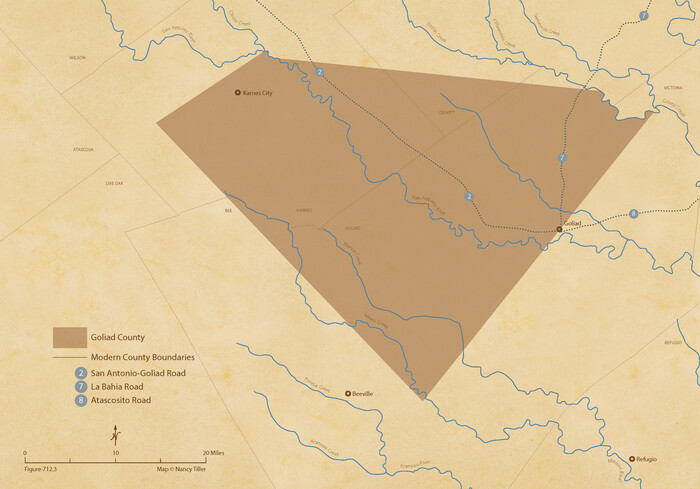
The Republic County of Goliad. December 31, 1838
2020
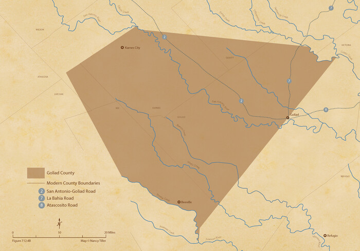
The Republic County of Goliad. 1840
2020

The Republic County of Goliad. Boundaries Defined, December 2, 1841
2020

The Republic County of Goliad. December 29, 1845
2020

Bexar County Sketch File 60
2009

Land grants from the state of Tamaulipas in the trans-Nueces
2009
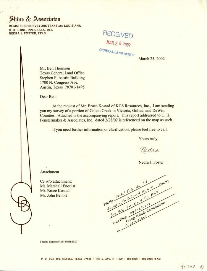
Victoria County Sketch File 14
2002

Goliad County Rolled Sketch 6
1999

Goliad County Working Sketch 25
1994
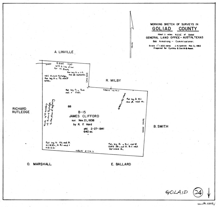
Goliad County Working Sketch 24
1982

Goliad County Working Sketch 23
1979
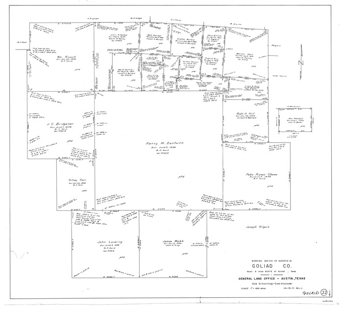
Goliad County Working Sketch 22
1971

Goliad County Working Sketch 21
1961

General Highway Map, Goliad County, Texas
1961
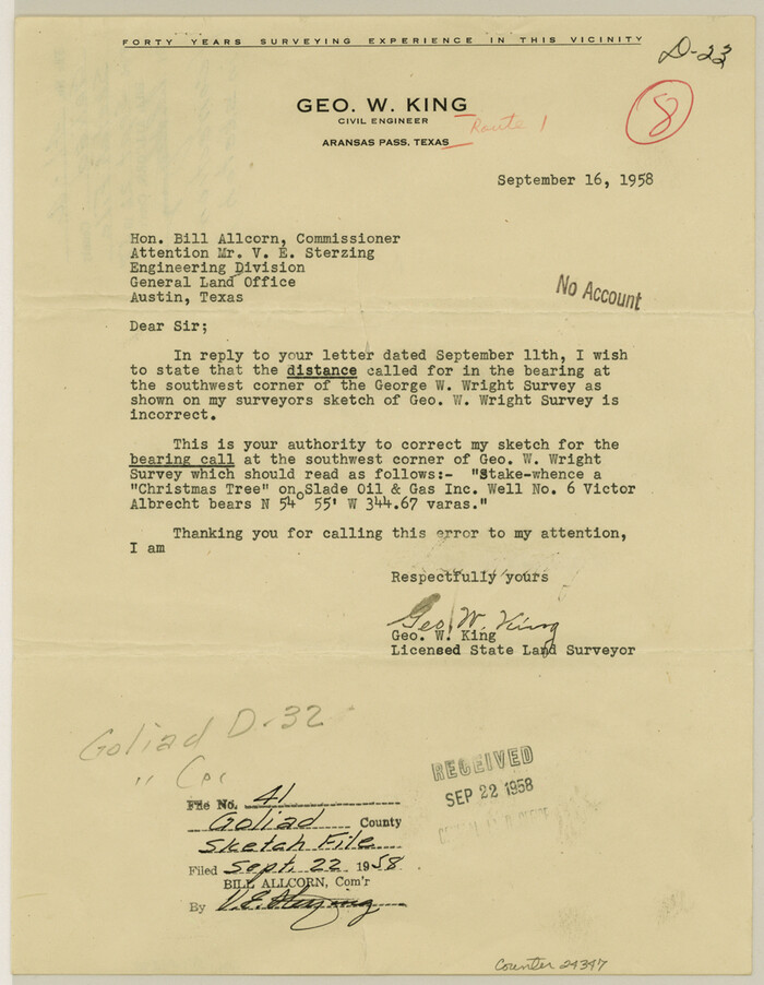
Goliad County Sketch File 41a
1958
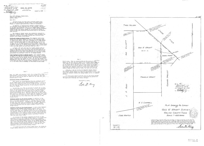
Goliad County Sketch File 41
1958
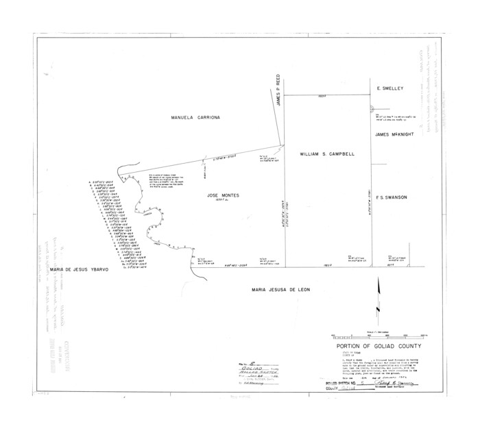
Goliad County Rolled Sketch 5
1956
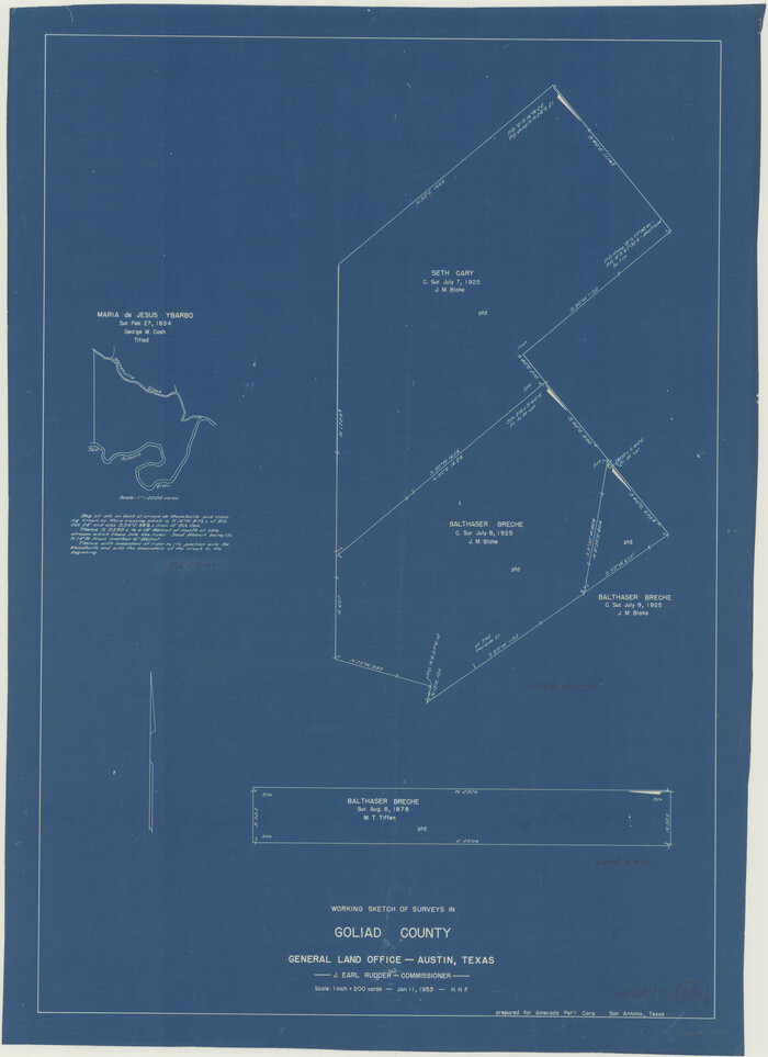
Goliad County Working Sketch 20
1955
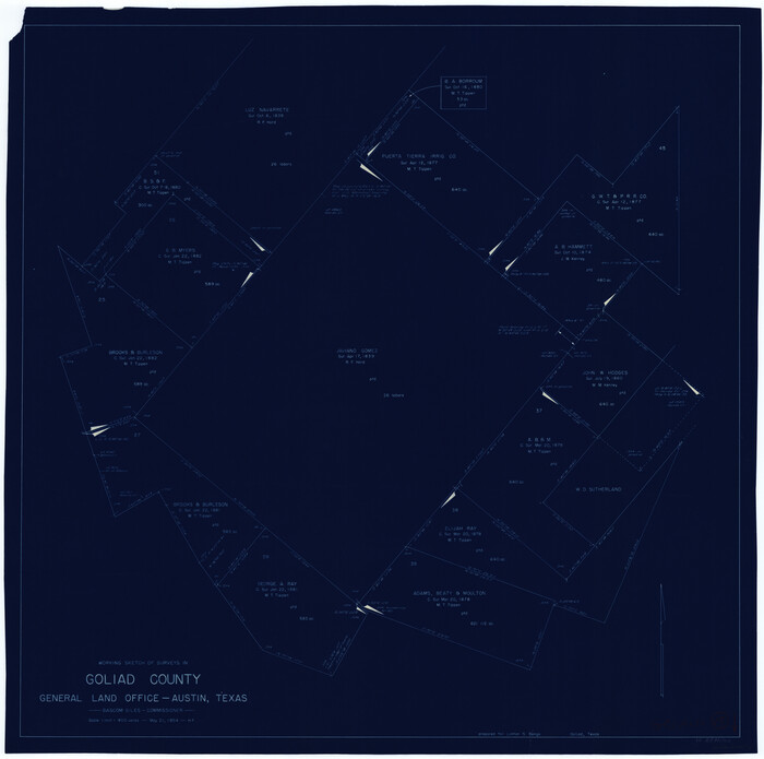
Goliad County Working Sketch 19
1954
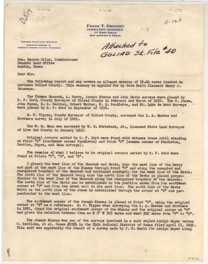
Goliad County Sketch File 40
1949

Goliad County Working Sketch 18
1949

Goliad County Working Sketch 17
1949

Goliad County Working Sketch 16
1949
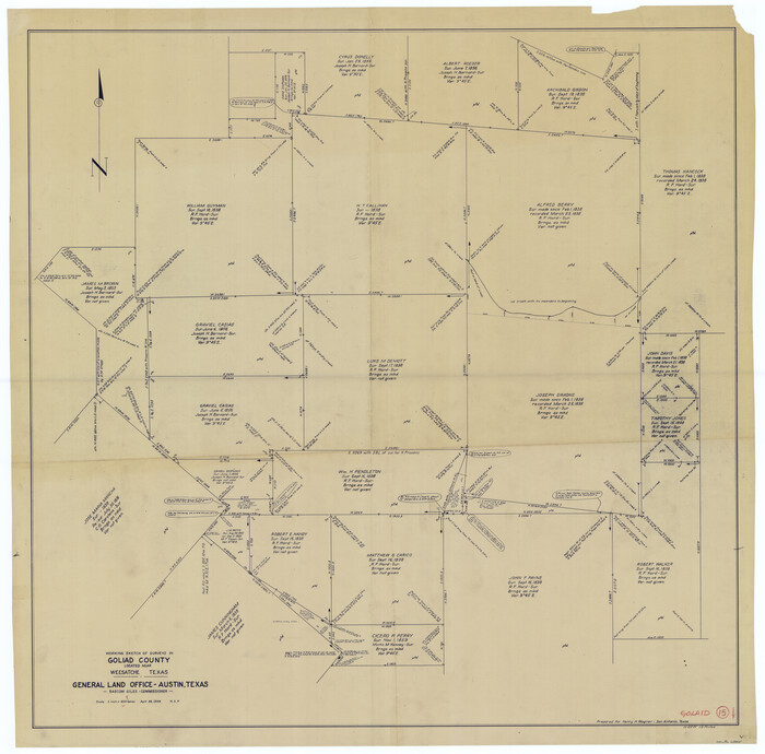
Goliad County Working Sketch 15
1948
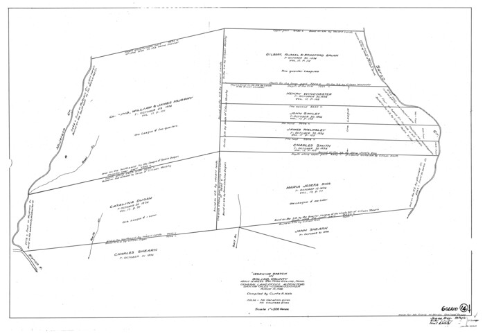
Goliad County Working Sketch 14
1946

The Republic County of Goliad. Proposed, Late Fall 1837
2020
-
Size
15.1 x 21.7 inches
-
Map/Doc
96147
-
Creation Date
2020

The Republic County of Goliad. Proposed, Late Fall 1837-December 31, 1838
2020
-
Size
15.1 x 21.7 inches
-
Map/Doc
96148
-
Creation Date
2020

The Republic County of Goliad. December 31, 1838
2020
-
Size
15.1 x 21.7 inches
-
Map/Doc
96149
-
Creation Date
2020

The Republic County of Goliad. 1840
2020
-
Size
15.1 x 21.7 inches
-
Map/Doc
96150
-
Creation Date
2020

The Republic County of Goliad. Boundaries Defined, December 2, 1841
2020
-
Size
17.5 x 21.7 inches
-
Map/Doc
96151
-
Creation Date
2020

The Republic County of Goliad. December 29, 1845
2020
-
Size
17.5 x 21.7 inches
-
Map/Doc
96152
-
Creation Date
2020

Bexar County Sketch File 60
2009
-
Size
11.0 x 8.5 inches
-
Map/Doc
93669
-
Creation Date
2009

Land grants from the state of Tamaulipas in the trans-Nueces
2009
-
Size
11.0 x 8.5 inches
-
Map/Doc
94040
-
Creation Date
2009

Victoria County Sketch File 14
2002
-
Size
11.0 x 8.5 inches
-
Map/Doc
95398
-
Creation Date
2002

Goliad County Rolled Sketch 6
1999
-
Size
23.4 x 34.5 inches
-
Map/Doc
6026
-
Creation Date
1999

Goliad County Working Sketch 25
1994
-
Size
19.6 x 21.9 inches
-
Map/Doc
63215
-
Creation Date
1994

Goliad County Working Sketch 24
1982
-
Size
14.9 x 15.7 inches
-
Map/Doc
63214
-
Creation Date
1982

Goliad County Working Sketch 23
1979
-
Size
26.8 x 32.9 inches
-
Map/Doc
63213
-
Creation Date
1979

Goliad County Working Sketch 22
1971
-
Size
33.1 x 36.8 inches
-
Map/Doc
63212
-
Creation Date
1971

Goliad County Working Sketch 21
1961
-
Size
42.9 x 39.6 inches
-
Map/Doc
63211
-
Creation Date
1961

General Highway Map, Goliad County, Texas
1961
-
Size
18.2 x 24.7 inches
-
Map/Doc
79481
-
Creation Date
1961

Goliad County Sketch File 41a
1958
-
Size
11.3 x 8.8 inches
-
Map/Doc
24347
-
Creation Date
1958

Goliad County Sketch File 41
1958
-
Size
25.2 x 35.3 inches
-
Map/Doc
11573
-
Creation Date
1958

Goliad County Rolled Sketch 5
1956
-
Size
26.5 x 29.5 inches
-
Map/Doc
6025
-
Creation Date
1956

Goliad County Working Sketch 20
1955
-
Size
31.4 x 22.8 inches
-
Map/Doc
63210
-
Creation Date
1955

Goliad County Working Sketch 19
1954
-
Size
31.5 x 31.8 inches
-
Map/Doc
63209
-
Creation Date
1954

Goliad County Sketch File 40
1949
-
Size
23.9 x 36.0 inches
-
Map/Doc
11572
-
Creation Date
1949

Goliad County Working Sketch 18
1949
-
Size
31.2 x 39.4 inches
-
Map/Doc
63208
-
Creation Date
1949

Goliad County Working Sketch 17
1949
-
Size
21.8 x 22.2 inches
-
Map/Doc
63207
-
Creation Date
1949

Goliad County Working Sketch 16
1949
-
Size
30.0 x 46.9 inches
-
Map/Doc
63206
-
Creation Date
1949

Goliad County Working Sketch 15
1948
-
Size
42.9 x 43.6 inches
-
Map/Doc
63205
-
Creation Date
1948

Goliad County
1946
-
Size
42.8 x 45.0 inches
-
Map/Doc
73159
-
Creation Date
1946
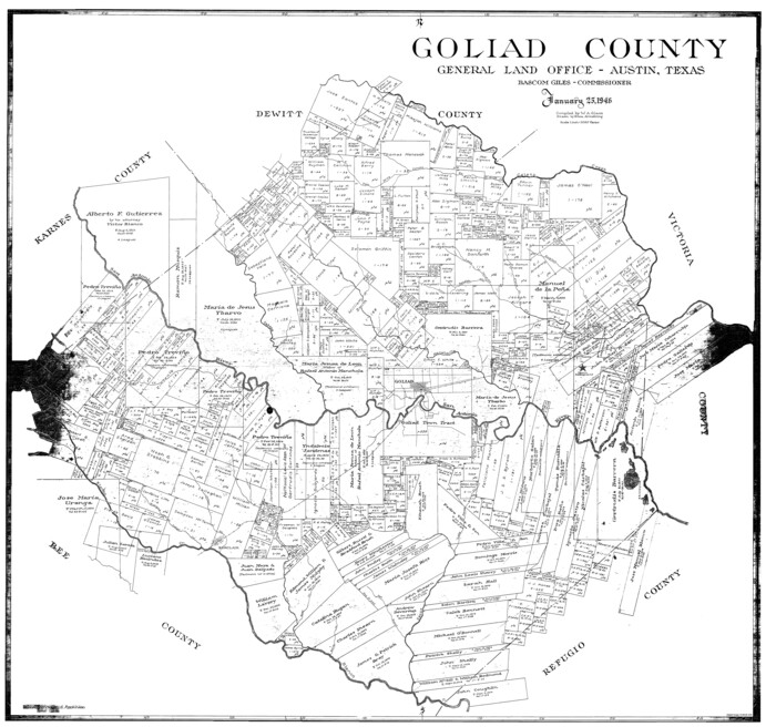
Goliad County
1946
-
Size
40.9 x 43.6 inches
-
Map/Doc
77291
-
Creation Date
1946

Goliad County
1946
-
Size
44.0 x 46.1 inches
-
Map/Doc
95509
-
Creation Date
1946

Goliad County Working Sketch 14
1946
-
Size
29.5 x 42.8 inches
-
Map/Doc
63204
-
Creation Date
1946