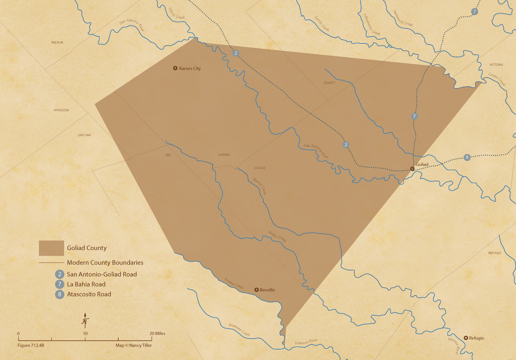
The Republic County of Goliad. 1840
Figure No. 712.4 from 'A Boundary Atlas of Texas, 1821-1845' by Jim Tiller
-
Map/Doc
96150
-
Collection
Nancy and Jim Tiller Digital Collection
-
Object Dates
2020/1/1 (Creation Date)
-
People and Organizations
Jim Tiller (Author)
Nancy Tiller (Cartographer)
Gang Gong (GIS Professional)
-
Counties
Goliad
-
Subjects
Atlas County Republic of Texas Texas Boundaries
-
Height x Width
15.1 x 21.7 inches
38.4 x 55.1 cm
-
Medium
digital image
-
Comments
To purchase a digital PDF copy of "A Boundary Atlas of Texas, 1821-1845" see 96437.
Part of: Nancy and Jim Tiller Digital Collection
The Republic County of Milam. Proposed, Late Fall 1837

Print $20.00
The Republic County of Milam. Proposed, Late Fall 1837
2020
Size 19.9 x 21.7 inches
Map/Doc 96225
The Coastal and Border League Lines

Print $20.00
The Coastal and Border League Lines
2020
Size 20.2 x 21.6 inches
Map/Doc 95977
The Republic County of Montgomery. December 18, 1837

Print $20.00
The Republic County of Montgomery. December 18, 1837
2020
Size 19.9 x 21.7 inches
Map/Doc 96235
The Republic County of Robertson. Created, December 14, 1837

Print $20.00
The Republic County of Robertson. Created, December 14, 1837
2020
Size 18.9 x 21.6 inches
Map/Doc 96259
The Republic County of Red River. December 29, 1845

Print $20.00
The Republic County of Red River. December 29, 1845
2020
Size 21.0 x 21.7 inches
Map/Doc 96255
From Citizens of Red River County for the Creation of a New County to be Called Aurora, December 3, 1840

Print $20.00
From Citizens of Red River County for the Creation of a New County to be Called Aurora, December 3, 1840
2020
Size 19.8 x 21.7 inches
Map/Doc 96391
The Mexican Municipality of San Augustine. Created March 6, 1834

Print $20.00
The Mexican Municipality of San Augustine. Created March 6, 1834
2020
Size 24.1 x 21.7 inches
Map/Doc 96032
The Republic County of Harrison. January 8, 1844

Print $20.00
The Republic County of Harrison. January 8, 1844
2020
Size 18.6 x 21.7 inches
Map/Doc 96175
The Republic County of Montgomery. February 2, 1842

Print $20.00
The Republic County of Montgomery. February 2, 1842
2020
Size 19.9 x 21.7 inches
Map/Doc 96239
The Republic County of Goliad. December 29, 1845

Print $20.00
The Republic County of Goliad. December 29, 1845
2020
Size 17.5 x 21.7 inches
Map/Doc 96152
DeWitt Empresario Colony. April 15, 1825

Print $20.00
DeWitt Empresario Colony. April 15, 1825
2020
Size 18.1 x 21.7 inches
Map/Doc 95991
A Boundary Atlas of Texas, 1821-1845

Digital $50.00
A Boundary Atlas of Texas, 1821-1845
2020
Map/Doc 96437
You may also like
[Sketch for Mineral Application 11318 - Arenosa Creek, S. G. Drushel]
![65647, [Sketch for Mineral Application 11318 - Arenosa Creek, S. G. Drushel], General Map Collection](https://historictexasmaps.com/wmedia_w700/maps/65647-1.tif.jpg)
Print $40.00
- Digital $50.00
[Sketch for Mineral Application 11318 - Arenosa Creek, S. G. Drushel]
Size 78.9 x 24.8 inches
Map/Doc 65647
Deaf Smith County

Print $40.00
- Digital $50.00
Deaf Smith County
1922
Size 55.0 x 43.9 inches
Map/Doc 89768
Map of Hopkins County

Print $20.00
- Digital $50.00
Map of Hopkins County
1872
Size 17.5 x 17.9 inches
Map/Doc 4567
The Land Offices. No. 2, San Augustine, December 22, 1836

Print $20.00
The Land Offices. No. 2, San Augustine, December 22, 1836
2020
Size 19.7 x 18.4 inches
Map/Doc 96415
Newton County Working Sketch 28

Print $40.00
- Digital $50.00
Newton County Working Sketch 28
1954
Size 34.7 x 55.0 inches
Map/Doc 71274
Irion County Rolled Sketch 14

Print $20.00
- Digital $50.00
Irion County Rolled Sketch 14
1946
Size 25.3 x 21.9 inches
Map/Doc 6324
The Republic County of Harris. December 29, 1845

Print $20.00
The Republic County of Harris. December 29, 1845
2020
Size 17.7 x 21.7 inches
Map/Doc 96168
Brewster County Sketch File NS-15

Print $40.00
- Digital $50.00
Brewster County Sketch File NS-15
1977
Size 16.7 x 14.4 inches
Map/Doc 16298
Hamilton County Sketch File 2

Print $4.00
- Digital $50.00
Hamilton County Sketch File 2
1854
Size 12.2 x 7.9 inches
Map/Doc 24899
El Paso County Sketch File 4

Print $20.00
- Digital $50.00
El Paso County Sketch File 4
1885
Size 17.1 x 28.3 inches
Map/Doc 11449
Menard County Working Sketch 28

Print $20.00
- Digital $50.00
Menard County Working Sketch 28
1963
Size 24.3 x 37.7 inches
Map/Doc 70975
Red River County, Texas

Print $20.00
Red River County, Texas
1870
Size 22.4 x 17.3 inches
Map/Doc 88989