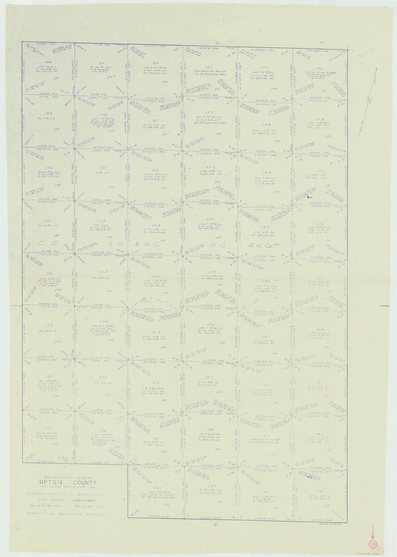
Upton County Working Sketch 29
-
Map/Doc
69525
-
Collection
General Map Collection
-
Object Dates
10/15/1956 (Creation Date)
-
People and Organizations
M. L. Liles (Draftsman)
-
Counties
Upton
-
Subjects
Surveying Working Sketch
-
Height x Width
50.6 x 36.0 inches
128.5 x 91.4 cm
-
Scale
1" = 400 varas
Part of: General Map Collection
Flight Mission No. BRE-4P, Frame 169, Nueces County

Print $20.00
- Digital $50.00
Flight Mission No. BRE-4P, Frame 169, Nueces County
1956
Size 18.5 x 22.6 inches
Map/Doc 86832
Flight Mission No. BRE-1P, Frame 79, Nueces County

Print $20.00
- Digital $50.00
Flight Mission No. BRE-1P, Frame 79, Nueces County
1956
Size 18.4 x 22.2 inches
Map/Doc 86661
Hudspeth County Rolled Sketch 44

Print $20.00
- Digital $50.00
Hudspeth County Rolled Sketch 44
1951
Size 12.1 x 11.5 inches
Map/Doc 9217
No. 1 - Survey for a road from the Brazo Santiago to the Rio Grande

Print $20.00
- Digital $50.00
No. 1 - Survey for a road from the Brazo Santiago to the Rio Grande
1847
Size 18.3 x 27.1 inches
Map/Doc 72877
Angelina County Sketch File 6

Print $4.00
- Digital $50.00
Angelina County Sketch File 6
1856
Size 8.1 x 8.2 inches
Map/Doc 12933
Hunt County Sketch File 17

Print $8.00
- Digital $50.00
Hunt County Sketch File 17
1861
Size 10.6 x 8.2 inches
Map/Doc 27114
Williamson County

Print $40.00
- Digital $50.00
Williamson County
1946
Size 39.0 x 56.3 inches
Map/Doc 73326
Edwards County Sketch File 14

Print $24.00
- Digital $50.00
Edwards County Sketch File 14
1891
Size 12.9 x 8.7 inches
Map/Doc 21703
Presidio County Working Sketch 11

Print $20.00
- Digital $50.00
Presidio County Working Sketch 11
1941
Size 29.2 x 25.8 inches
Map/Doc 71686
Swisher County Sketch File 2

Print $8.00
- Digital $50.00
Swisher County Sketch File 2
1891
Size 14.3 x 8.6 inches
Map/Doc 37574
Sketch Showing surveys on Harbor Island in Nueces County

Print $20.00
- Digital $50.00
Sketch Showing surveys on Harbor Island in Nueces County
1951
Size 45.7 x 34.6 inches
Map/Doc 1915
Flight Mission No. DAG-24K, Frame 151, Matagorda County

Print $20.00
- Digital $50.00
Flight Mission No. DAG-24K, Frame 151, Matagorda County
1953
Size 18.5 x 22.1 inches
Map/Doc 86565
You may also like
Flight Mission No. BRA-6M, Frame 80, Jefferson County

Print $20.00
- Digital $50.00
Flight Mission No. BRA-6M, Frame 80, Jefferson County
1953
Size 18.6 x 22.3 inches
Map/Doc 85424
Hardin County Sketch File 18

Print $6.00
- Digital $50.00
Hardin County Sketch File 18
1870
Size 9.8 x 8.6 inches
Map/Doc 25132
[Drawings of individual counties for Pressler and Langermann's 1879 Map of Texas]
![2140, [Drawings of individual counties for Pressler and Langermann's 1879 Map of Texas], General Map Collection](https://historictexasmaps.com/wmedia_w700/maps/2140-1.tif.jpg)
Print $20.00
- Digital $50.00
[Drawings of individual counties for Pressler and Langermann's 1879 Map of Texas]
1878
Size 28.5 x 42.0 inches
Map/Doc 2140
Map of Part of Texas Prison System, Blue Ridge State Farm, Fort Bend and Harris Counties

Print $20.00
- Digital $50.00
Map of Part of Texas Prison System, Blue Ridge State Farm, Fort Bend and Harris Counties
Size 24.1 x 26.3 inches
Map/Doc 62981
Irion County Sketch File 14

Print $8.00
- Digital $50.00
Irion County Sketch File 14
1949
Size 11.2 x 8.7 inches
Map/Doc 27486
[Sketch of surveys in the vicinity of sections 171 and 172 along Pedernales]
![91881, [Sketch of surveys in the vicinity of sections 171 and 172 along Pedernales], Twichell Survey Records](https://historictexasmaps.com/wmedia_w700/maps/91881-1.tif.jpg)
Print $2.00
- Digital $50.00
[Sketch of surveys in the vicinity of sections 171 and 172 along Pedernales]
Size 8.6 x 14.4 inches
Map/Doc 91881
Jefferson County Sketch File 23

Print $20.00
- Digital $50.00
Jefferson County Sketch File 23
Size 15.8 x 17.8 inches
Map/Doc 11871
Dimmit County Working Sketch 26

Print $20.00
- Digital $50.00
Dimmit County Working Sketch 26
1956
Size 19.3 x 15.9 inches
Map/Doc 68687
[Map of the Fort Worth & Denver City Railway, Hartley County, Texas]
![64389, [Map of the Fort Worth & Denver City Railway, Hartley County, Texas], General Map Collection](https://historictexasmaps.com/wmedia_w700/maps/64389.tif.jpg)
Print $40.00
- Digital $50.00
[Map of the Fort Worth & Denver City Railway, Hartley County, Texas]
1887
Size 22.0 x 120.7 inches
Map/Doc 64389
Duval County Sketch File 75

Print $20.00
- Digital $50.00
Duval County Sketch File 75
1935
Size 18.0 x 28.5 inches
Map/Doc 11409
Goliad County Rolled Sketch 1

Print $20.00
- Digital $50.00
Goliad County Rolled Sketch 1
1941
Size 31.4 x 38.5 inches
Map/Doc 6023
Map of the Texas & Pacific Railway and connections

Print $20.00
- Digital $50.00
Map of the Texas & Pacific Railway and connections
1899
Size 17.8 x 36.3 inches
Map/Doc 95766