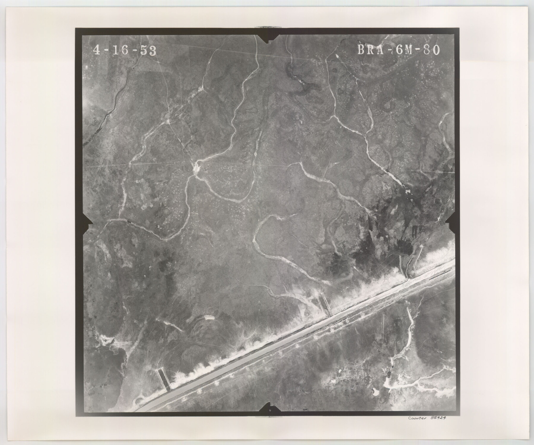
Flight Mission No. BRA-6M, Frame 80, Jefferson County
BRA-6M-80
-
Map/Doc
85424
-
Collection
General Map Collection
-
Object Dates
1953/4/16 (Creation Date)
-
People and Organizations
U. S. Department of Agriculture (Publisher)
-
Counties
Jefferson
-
Subjects
Aerial Photograph
-
Height x Width
18.6 x 22.3 inches
47.2 x 56.6 cm
-
Comments
Flown by Jack Ammann Photogrammetric Engineers of San Antonio, Texas.
Part of: General Map Collection
Rusk County Rolled Sketch 10

Print $18.00
- Digital $50.00
Rusk County Rolled Sketch 10
Size 9.7 x 11.3 inches
Map/Doc 48864
Hopkins County Working Sketch 1

Print $20.00
- Digital $50.00
Hopkins County Working Sketch 1
1951
Size 24.1 x 19.0 inches
Map/Doc 66226
Presidio County Sketch File 117

Print $26.00
- Digital $50.00
Presidio County Sketch File 117
1994
Size 14.3 x 8.8 inches
Map/Doc 34906
Flight Mission No. BRA-9M, Frame 76, Jefferson County

Print $20.00
- Digital $50.00
Flight Mission No. BRA-9M, Frame 76, Jefferson County
1953
Size 18.5 x 22.5 inches
Map/Doc 85659
Ector County Working Sketch 32

Print $20.00
- Digital $50.00
Ector County Working Sketch 32
1981
Size 26.2 x 17.0 inches
Map/Doc 68875
Martin County Working Sketch 14

Print $20.00
- Digital $50.00
Martin County Working Sketch 14
1972
Size 39.6 x 22.6 inches
Map/Doc 70832
McLennan County Sketch File 7a

Print $4.00
- Digital $50.00
McLennan County Sketch File 7a
1850
Size 10.3 x 7.4 inches
Map/Doc 31246
Map of Burleson County

Print $20.00
- Digital $50.00
Map of Burleson County
1867
Size 19.1 x 30.0 inches
Map/Doc 4511
Victoria County Aerial Photograph Index Sheet 4

Print $20.00
- Digital $50.00
Victoria County Aerial Photograph Index Sheet 4
1953
Size 19.8 x 23.4 inches
Map/Doc 83748
Edwards County Sketch File 2 and 3

Print $8.00
- Digital $50.00
Edwards County Sketch File 2 and 3
1874
Size 9.3 x 4.1 inches
Map/Doc 21676
Crockett County Rolled Sketch 62

Print $20.00
- Digital $50.00
Crockett County Rolled Sketch 62
1947
Size 27.0 x 38.1 inches
Map/Doc 5605
Edwards County Working Sketch 110

Print $40.00
- Digital $50.00
Edwards County Working Sketch 110
1972
Size 49.7 x 39.6 inches
Map/Doc 68986
You may also like
Cochran County Boundary File 7

Print $6.00
- Digital $50.00
Cochran County Boundary File 7
Size 14.0 x 9.1 inches
Map/Doc 51567
Fort Bend County State Real Property Sketch 14

Print $40.00
- Digital $50.00
Fort Bend County State Real Property Sketch 14
1985
Size 36.7 x 35.6 inches
Map/Doc 61688
Flight Mission No. CUI-1H, Frame 141, Milam County

Print $20.00
- Digital $50.00
Flight Mission No. CUI-1H, Frame 141, Milam County
1951
Size 18.4 x 22.3 inches
Map/Doc 86607
[Surveys in Liberty County]
![69750, [Surveys in Liberty County], General Map Collection](https://historictexasmaps.com/wmedia_w700/maps/69750.tif.jpg)
Print $2.00
- Digital $50.00
[Surveys in Liberty County]
Size 5.8 x 9.3 inches
Map/Doc 69750
Sketch in Hays County

Print $2.00
- Digital $50.00
Sketch in Hays County
1889
Size 8.4 x 8.3 inches
Map/Doc 5038
Yoakum County Rolled Sketch 3(2)

Print $40.00
- Digital $50.00
Yoakum County Rolled Sketch 3(2)
1959
Size 12.7 x 128.8 inches
Map/Doc 10163
Flight Mission No. DQO-2K, Frame 137, Galveston County

Print $20.00
- Digital $50.00
Flight Mission No. DQO-2K, Frame 137, Galveston County
1952
Size 18.8 x 22.5 inches
Map/Doc 85034
Subdivision of Capitol Leagues 112, 113, 114, and 115, and Parts of 110, and 111

Print $20.00
- Digital $50.00
Subdivision of Capitol Leagues 112, 113, 114, and 115, and Parts of 110, and 111
1906
Size 18.5 x 23.3 inches
Map/Doc 92583
Cherokee County Working Sketch 19

Print $40.00
- Digital $50.00
Cherokee County Working Sketch 19
1967
Size 64.1 x 49.2 inches
Map/Doc 67974
Map of the State of Texas from the Latest Authorities

Print $20.00
- Digital $50.00
Map of the State of Texas from the Latest Authorities
1854
Size 13.1 x 16.1 inches
Map/Doc 93901
Boundary Between the United States & Mexico Agreed Upon by the Joint Commission under the Treaty of Guadalupe Hidalgo

Print $20.00
- Digital $50.00
Boundary Between the United States & Mexico Agreed Upon by the Joint Commission under the Treaty of Guadalupe Hidalgo
1853
Size 17.7 x 23.8 inches
Map/Doc 65392
The Mercer Colony. January 20, 1843

Print $20.00
The Mercer Colony. January 20, 1843
2020
Size 16.2 x 21.7 inches
Map/Doc 96360