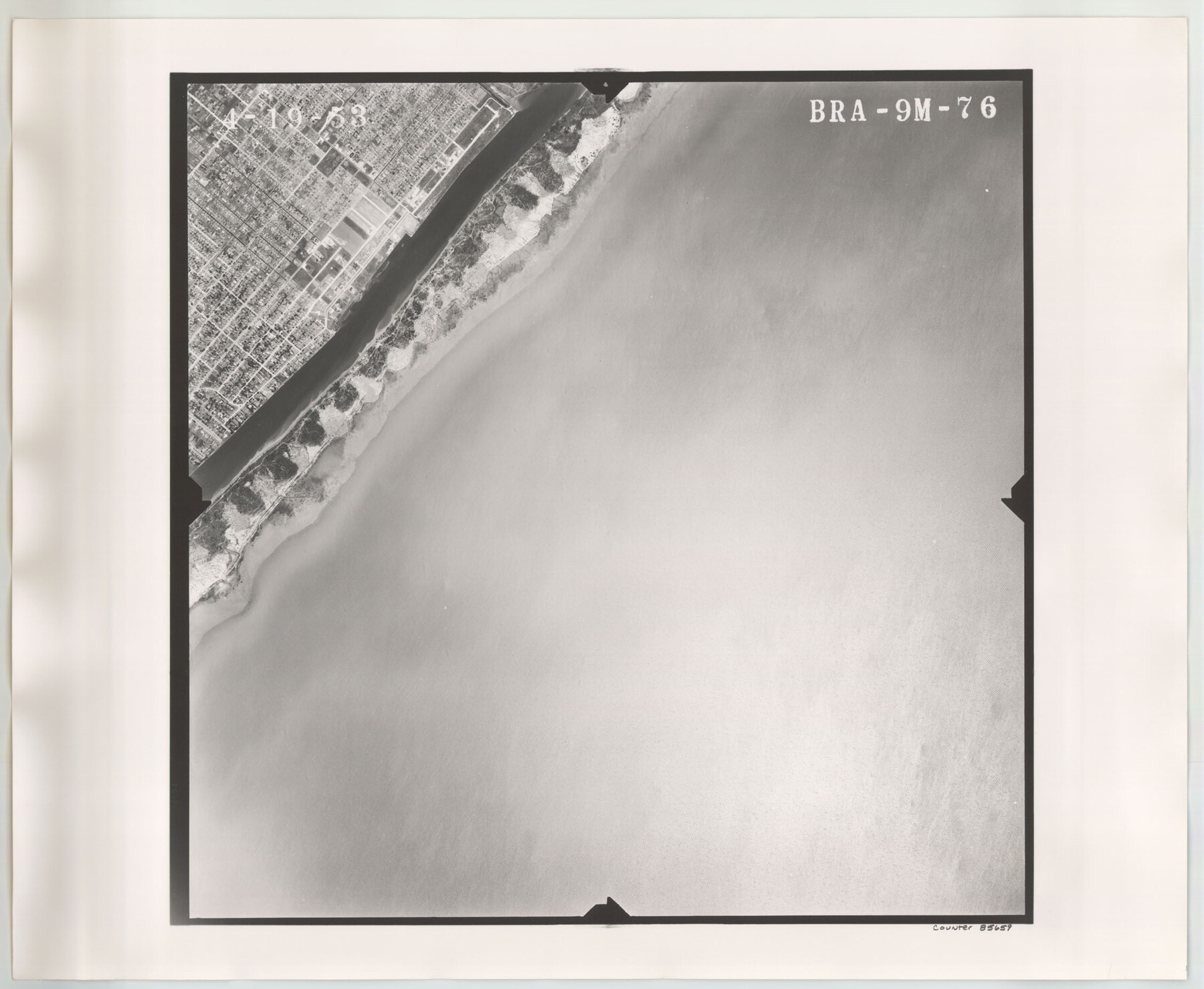
Flight Mission No. BRA-9M, Frame 76, Jefferson County
BRA-9M-76
-
Map/Doc
85659
-
Collection
General Map Collection
-
Object Dates
1953/4/19 (Creation Date)
-
People and Organizations
U. S. Department of Agriculture (Publisher)
-
Counties
Jefferson
-
Subjects
Aerial Photograph
-
Height x Width
18.5 x 22.5 inches
47.0 x 57.2 cm
-
Comments
Flown by Jack Ammann Photogrammetric Engineers of San Antonio, Texas.
Part of: General Map Collection
Flight Mission No. DIX-3P, Frame 135, Aransas County

Print $20.00
- Digital $50.00
Flight Mission No. DIX-3P, Frame 135, Aransas County
1956
Size 17.8 x 18.5 inches
Map/Doc 83765
Maps of Gulf Intracoastal Waterway, Texas - Sabine River to the Rio Grande and connecting waterways including ship channels

Print $20.00
- Digital $50.00
Maps of Gulf Intracoastal Waterway, Texas - Sabine River to the Rio Grande and connecting waterways including ship channels
1966
Size 14.3 x 20.7 inches
Map/Doc 61998
Nueces County Rolled Sketch 101

Print $88.00
Nueces County Rolled Sketch 101
1985
Size 18.2 x 24.6 inches
Map/Doc 7061
Current Miscellaneous File 34

Print $10.00
- Digital $50.00
Current Miscellaneous File 34
1953
Size 14.1 x 8.7 inches
Map/Doc 73942
[Abstract Numbering Register - Real through Zavala]
![82968, [Abstract Numbering Register - Real through Zavala], General Map Collection](https://historictexasmaps.com/wmedia_w700/pdf_converted_jpg/qi_pdf_thumbnail_30615.jpg)
[Abstract Numbering Register - Real through Zavala]
Map/Doc 82968

Cass County Working Sketch 9

Print $20.00
- Digital $50.00
Cass County Working Sketch 9
1937
Size 28.4 x 32.7 inches
Map/Doc 67912
Culberson County Sketch File 1c

Print $4.00
- Digital $50.00
Culberson County Sketch File 1c
1859
Size 7.4 x 8.0 inches
Map/Doc 20111
Coryell County Boundary File 3a

Print $50.00
- Digital $50.00
Coryell County Boundary File 3a
Size 13.2 x 8.1 inches
Map/Doc 51914
Fractional Township No. 8 South Range No. 15 East of the Indian Meridian, Indian Territory

Print $20.00
- Digital $50.00
Fractional Township No. 8 South Range No. 15 East of the Indian Meridian, Indian Territory
1896
Size 19.1 x 24.3 inches
Map/Doc 75227

Wichita County Sketch File 22

Print $10.00
- Digital $50.00
Wichita County Sketch File 22
1911
Size 11.3 x 8.6 inches
Map/Doc 40104
You may also like
Flight Mission No. DQO-11K, Frame 21, Galveston County

Print $20.00
- Digital $50.00
Flight Mission No. DQO-11K, Frame 21, Galveston County
1952
Size 18.6 x 19.7 inches
Map/Doc 85218
General Highway Map, Jasper County, Newton County, Texas

Print $20.00
General Highway Map, Jasper County, Newton County, Texas
1940
Size 18.6 x 25.2 inches
Map/Doc 79142
Flight Mission No. DAG-17K, Frame 65, Matagorda County

Print $20.00
- Digital $50.00
Flight Mission No. DAG-17K, Frame 65, Matagorda County
1952
Size 17.5 x 16.1 inches
Map/Doc 86327
Hays County Rolled Sketch 23

Print $20.00
- Digital $50.00
Hays County Rolled Sketch 23
Size 20.1 x 19.4 inches
Map/Doc 6179
Childress County

Print $20.00
- Digital $50.00
Childress County
1883
Size 20.6 x 17.4 inches
Map/Doc 3393
Gregg County Sketch File 16

Print $6.00
- Digital $50.00
Gregg County Sketch File 16
1931
Size 17.0 x 11.0 inches
Map/Doc 24619
Zavala County Sketch File 18

Print $16.00
- Digital $50.00
Zavala County Sketch File 18
1897
Size 14.0 x 9.1 inches
Map/Doc 41356
McMullen County Working Sketch 27

Print $40.00
- Digital $50.00
McMullen County Working Sketch 27
1953
Size 53.2 x 32.9 inches
Map/Doc 70728
Gillespie County Sketch File 11

Print $4.00
- Digital $50.00
Gillespie County Sketch File 11
1877
Size 8.3 x 12.8 inches
Map/Doc 24149
Comal County Working Sketch 1

Print $20.00
- Digital $50.00
Comal County Working Sketch 1
1919
Size 22.1 x 18.2 inches
Map/Doc 68167
Mapa de los Estados Unidos de Méjico, Segun lo organizado y definido por las varias actas del Congreso de dicha Republica: y construido por las mejores autoridades

Print $20.00
Mapa de los Estados Unidos de Méjico, Segun lo organizado y definido por las varias actas del Congreso de dicha Republica: y construido por las mejores autoridades
1846
Size 30.8 x 42.4 inches
Map/Doc 79727
Fort Bend County Rolled Sketch 3

Print $20.00
- Digital $50.00
Fort Bend County Rolled Sketch 3
1958
Size 31.4 x 31.5 inches
Map/Doc 5893