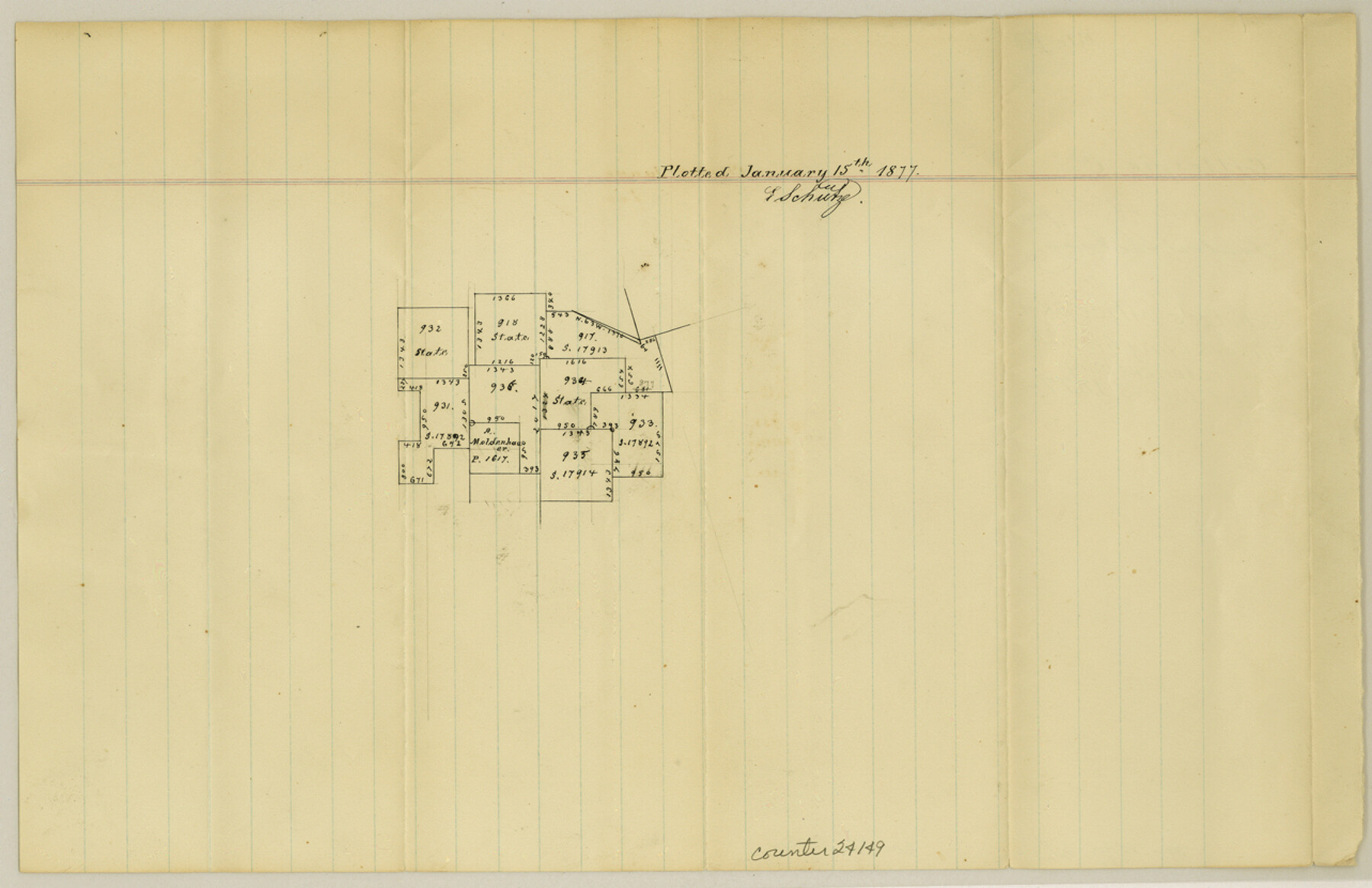
Gillespie County Sketch File 11
[Sketch of surveys northwest of Fredericksburg]
-
Map/Doc
24149
-
Collection
General Map Collection
-
Object Dates
1877/1/15 (Creation Date)
-
People and Organizations
E. Schutze (Draftsman)
-
Counties
Gillespie
-
Subjects
Surveying Sketch File
-
Height x Width
8.3 x 12.8 inches
21.1 x 32.5 cm
-
Medium
paper, manuscript
Part of: General Map Collection
Pecos County Sketch File 29a

Print $20.00
- Digital $50.00
Pecos County Sketch File 29a
Size 24.5 x 31.0 inches
Map/Doc 12171
Liberty County Working Sketch 89

Print $20.00
- Digital $50.00
Liberty County Working Sketch 89
1993
Size 45.0 x 26.2 inches
Map/Doc 70549
Carta Politica

Print $20.00
- Digital $50.00
Carta Politica
1897
Size 26.2 x 34.1 inches
Map/Doc 96797
Nacogdoches County Sketch File 8

Print $20.00
- Digital $50.00
Nacogdoches County Sketch File 8
Size 20.8 x 28.7 inches
Map/Doc 42154
Chambers County Sketch File 36

Print $11.00
- Digital $50.00
Chambers County Sketch File 36
1935
Size 15.6 x 9.1 inches
Map/Doc 17647
Surveys in the Milam District at the fork of the Yegua and Brazos Rivers and on the Leon River

Print $2.00
- Digital $50.00
Surveys in the Milam District at the fork of the Yegua and Brazos Rivers and on the Leon River
1846
Size 9.2 x 16.0 inches
Map/Doc 254
Galveston County Rolled Sketch JK

Print $40.00
- Digital $50.00
Galveston County Rolled Sketch JK
1913
Size 25.4 x 56.5 inches
Map/Doc 9092
Armstrong County, State of Texas

Print $20.00
- Digital $50.00
Armstrong County, State of Texas
1888
Size 22.6 x 18.2 inches
Map/Doc 3245
Nueces County Rolled Sketch 33

Print $47.00
- Digital $50.00
Nueces County Rolled Sketch 33
1953
Size 10.0 x 15.1 inches
Map/Doc 47612
Angelina County Sketch File 28a

Print $14.00
- Digital $50.00
Angelina County Sketch File 28a
1910
Size 6.8 x 8.7 inches
Map/Doc 13080
Llano County Working Sketch 8

Print $20.00
- Digital $50.00
Llano County Working Sketch 8
1978
Size 33.4 x 30.7 inches
Map/Doc 70626
Comal County Rolled Sketch 3

Print $20.00
- Digital $50.00
Comal County Rolled Sketch 3
1977
Size 19.0 x 17.3 inches
Map/Doc 5538
You may also like
Presidio County Working Sketch 117

Print $20.00
- Digital $50.00
Presidio County Working Sketch 117
1982
Size 14.7 x 15.9 inches
Map/Doc 71794
Fort Bend County Sketch File 35

Print $4.00
- Digital $50.00
Fort Bend County Sketch File 35
Size 11.5 x 7.3 inches
Map/Doc 23005
Hays County Sketch File 36

Print $4.00
- Digital $50.00
Hays County Sketch File 36
Size 11.0 x 8.5 inches
Map/Doc 96639
Chambers County Sketch File 50

Print $49.00
- Digital $50.00
Chambers County Sketch File 50
1917
Size 14.4 x 8.8 inches
Map/Doc 18048
Nueces County Rolled Sketch 51B

Print $20.00
- Digital $50.00
Nueces County Rolled Sketch 51B
Size 17.6 x 16.0 inches
Map/Doc 6891
Bee County Sketch File 1a

Print $12.00
- Digital $50.00
Bee County Sketch File 1a
1846
Size 9.8 x 6.5 inches
Map/Doc 14359
Deaf Smith County Working Sketch 3

Print $40.00
- Digital $50.00
Deaf Smith County Working Sketch 3
1951
Size 61.4 x 22.3 inches
Map/Doc 68643
Zavala County Sketch File 12

Print $54.00
- Digital $50.00
Zavala County Sketch File 12
1886
Size 9.0 x 7.7 inches
Map/Doc 41279
Brazoria County Working Sketch 1

Print $20.00
- Digital $50.00
Brazoria County Working Sketch 1
1907
Size 19.6 x 19.0 inches
Map/Doc 67486
Travis County Rolled Sketch 24

Print $20.00
- Digital $50.00
Travis County Rolled Sketch 24
1942
Size 15.3 x 16.1 inches
Map/Doc 8025
[Warren Additions 3 and 4 and vicinity]
![92464, [Warren Additions 3 and 4 and vicinity], Twichell Survey Records](https://historictexasmaps.com/wmedia_w700/maps/92464-1.tif.jpg)
Print $20.00
- Digital $50.00
[Warren Additions 3 and 4 and vicinity]
Size 23.9 x 19.5 inches
Map/Doc 92464
McMullen County Working Sketch 23

Print $20.00
- Digital $50.00
McMullen County Working Sketch 23
1950
Size 37.6 x 33.2 inches
Map/Doc 70724