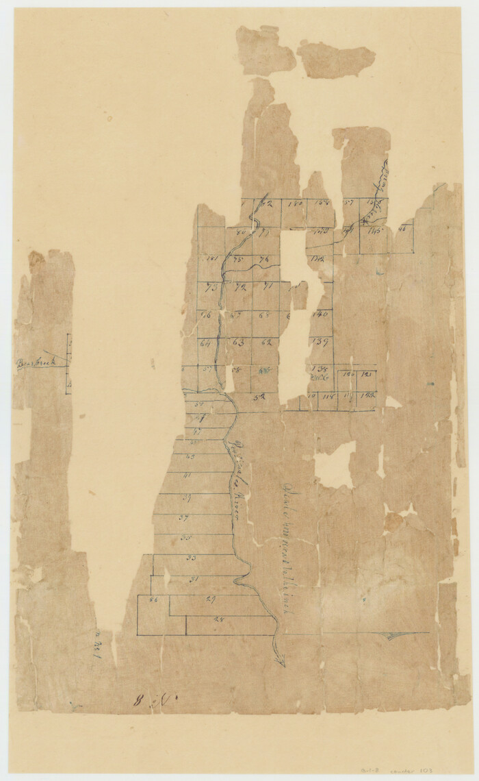
[Sketch of surveys in the Bexar District along the Pedernales River]
Print $2.00
- Digital $50.00
[Sketch of surveys in the Bexar District along the Pedernales River]
1847
Size: 13.6 x 8.3 inches
103
Gillespie County Sketch File 15

Print $20.00
- Digital $50.00
Gillespie County Sketch File 15
1847
Size: 17.7 x 19.3 inches
11556
Gillespie County Sketch File 16

Print $20.00
- Digital $50.00
Gillespie County Sketch File 16
1951
Size: 18.2 x 17.9 inches
11557
[Surveys in the Bexar District along the Pedernales River]
Print $20.00
- Digital $50.00
[Surveys in the Bexar District along the Pedernales River]
1845
Size: 18.7 x 11.0 inches
177
Karte von Indian Point od Indianola / Karte der Stadt Neu Braunfels / Karte der Stadt Friedrichsburg / Hafen von Indian Point oder Indianola

Print $20.00
- Digital $50.00
Karte von Indian Point od Indianola / Karte der Stadt Neu Braunfels / Karte der Stadt Friedrichsburg / Hafen von Indian Point oder Indianola
1850
Size: 13.6 x 19.4 inches
2182
Gillespie County Sketch File 1

Print $7.00
- Digital $50.00
Gillespie County Sketch File 1
1847
Size: 10.2 x 8.3 inches
24124
Gillespie County Sketch File 2

Print $40.00
- Digital $50.00
Gillespie County Sketch File 2
1847
Size: 12.8 x 15.5 inches
24127
Gillespie County Sketch File 3

Print $4.00
- Digital $50.00
Gillespie County Sketch File 3
1847
Size: 11.2 x 8.0 inches
24129
Gillespie County Sketch File 3a

Print $4.00
- Digital $50.00
Gillespie County Sketch File 3a
1860
Size: 7.6 x 8.3 inches
24131
Gillespie County Sketch File 3b

Print $4.00
- Digital $50.00
Gillespie County Sketch File 3b
1860
Size: 8.2 x 12.6 inches
24133
Gillespie County Sketch File 4

Print $4.00
- Digital $50.00
Gillespie County Sketch File 4
1860
Size: 12.7 x 8.2 inches
24135
Gillespie County Sketch File 4a

Print $40.00
- Digital $50.00
Gillespie County Sketch File 4a
Size: 15.8 x 12.8 inches
24137
Gillespie County Sketch File 6

Print $4.00
- Digital $50.00
Gillespie County Sketch File 6
Size: 6.4 x 11.0 inches
24139
Gillespie County Sketch File 7

Print $4.00
- Digital $50.00
Gillespie County Sketch File 7
1872
Size: 7.7 x 7.3 inches
24141
Gillespie County Sketch File 7a

Print $4.00
- Digital $50.00
Gillespie County Sketch File 7a
Size: 3.5 x 8.1 inches
24143
Gillespie County Sketch File 9

Print $4.00
- Digital $50.00
Gillespie County Sketch File 9
1873
Size: 8.2 x 10.5 inches
24145
Gillespie County Sketch File 10

Print $4.00
- Digital $50.00
Gillespie County Sketch File 10
1877
Size: 8.3 x 12.9 inches
24147
Gillespie County Sketch File 11

Print $4.00
- Digital $50.00
Gillespie County Sketch File 11
1877
Size: 8.3 x 12.8 inches
24149
Gillespie County Sketch File 12

Print $4.00
- Digital $50.00
Gillespie County Sketch File 12
1877
Size: 9.6 x 6.3 inches
24151
Gillespie County Sketch File 13

Print $4.00
- Digital $50.00
Gillespie County Sketch File 13
1878
Size: 8.4 x 10.9 inches
24153
Gillespie County Sketch File 14

Print $6.00
- Digital $50.00
Gillespie County Sketch File 14
1880
Size: 10.1 x 11.4 inches
24155
Gillespie County Sketch File 17

Print $8.00
- Digital $50.00
Gillespie County Sketch File 17
1994
Size: 11.2 x 8.7 inches
24157
Kimble County Sketch File 10

Print $23.00
- Digital $50.00
Kimble County Sketch File 10
Size: 18.5 x 15.6 inches
28931
Kimble County Sketch File 14

Print $26.00
- Digital $50.00
Kimble County Sketch File 14
1886
Size: 14.1 x 8.6 inches
28939
Llano County Sketch File 6

Print $8.00
- Digital $50.00
Llano County Sketch File 6
1877
Size: 9.4 x 7.9 inches
30358
Mason County Sketch File 4

Print $6.00
- Digital $50.00
Mason County Sketch File 4
1875
Size: 12.9 x 8.0 inches
30684
Mason County Sketch File 7

Print $4.00
- Digital $50.00
Mason County Sketch File 7
Size: 7.9 x 8.8 inches
30689
Mason County Sketch File 8

Print $4.00
- Digital $50.00
Mason County Sketch File 8
1876
Size: 13.2 x 8.4 inches
30691
[Sketch of surveys in the Bexar District along the Pedernales River]
Print $2.00
- Digital $50.00
[Sketch of surveys in the Bexar District along the Pedernales River]
1847
-
Size
13.6 x 8.3 inches
-
Map/Doc
103
-
Creation Date
1847
Gillespie County Sketch File 15
Print $20.00
- Digital $50.00
Gillespie County Sketch File 15
1847
-
Size
17.7 x 19.3 inches
-
Map/Doc
11556
-
Creation Date
1847
Gillespie County Sketch File 16
Print $20.00
- Digital $50.00
Gillespie County Sketch File 16
1951
-
Size
18.2 x 17.9 inches
-
Map/Doc
11557
-
Creation Date
1951
Gillespie County

Print $40.00
- Digital $50.00
Gillespie County
1887
-
Size
44.1 x 59.7 inches
-
Map/Doc
16835
-
Creation Date
1887
[Surveys in the Bexar District along the Pedernales River]
Print $20.00
- Digital $50.00
[Surveys in the Bexar District along the Pedernales River]
1845
-
Size
18.7 x 11.0 inches
-
Map/Doc
177
-
Creation Date
1845
Gillespie County

Print $40.00
- Digital $50.00
Gillespie County
1945
-
Size
39.5 x 48.9 inches
-
Map/Doc
1838
-
Creation Date
1945
Karte von Indian Point od Indianola / Karte der Stadt Neu Braunfels / Karte der Stadt Friedrichsburg / Hafen von Indian Point oder Indianola
Print $20.00
- Digital $50.00
Karte von Indian Point od Indianola / Karte der Stadt Neu Braunfels / Karte der Stadt Friedrichsburg / Hafen von Indian Point oder Indianola
1850
-
Size
13.6 x 19.4 inches
-
Map/Doc
2182
-
Creation Date
1850
Gillespie County Sketch File 1
Print $7.00
- Digital $50.00
Gillespie County Sketch File 1
1847
-
Size
10.2 x 8.3 inches
-
Map/Doc
24124
-
Creation Date
1847
Gillespie County Sketch File 2
Print $40.00
- Digital $50.00
Gillespie County Sketch File 2
1847
-
Size
12.8 x 15.5 inches
-
Map/Doc
24127
-
Creation Date
1847
Gillespie County Sketch File 3
Print $4.00
- Digital $50.00
Gillespie County Sketch File 3
1847
-
Size
11.2 x 8.0 inches
-
Map/Doc
24129
-
Creation Date
1847
Gillespie County Sketch File 3a
Print $4.00
- Digital $50.00
Gillespie County Sketch File 3a
1860
-
Size
7.6 x 8.3 inches
-
Map/Doc
24131
-
Creation Date
1860
Gillespie County Sketch File 3b
Print $4.00
- Digital $50.00
Gillespie County Sketch File 3b
1860
-
Size
8.2 x 12.6 inches
-
Map/Doc
24133
-
Creation Date
1860
Gillespie County Sketch File 4
Print $4.00
- Digital $50.00
Gillespie County Sketch File 4
1860
-
Size
12.7 x 8.2 inches
-
Map/Doc
24135
-
Creation Date
1860
Gillespie County Sketch File 4a
Print $40.00
- Digital $50.00
Gillespie County Sketch File 4a
-
Size
15.8 x 12.8 inches
-
Map/Doc
24137
Gillespie County Sketch File 6
Print $4.00
- Digital $50.00
Gillespie County Sketch File 6
-
Size
6.4 x 11.0 inches
-
Map/Doc
24139
Gillespie County Sketch File 7
Print $4.00
- Digital $50.00
Gillespie County Sketch File 7
1872
-
Size
7.7 x 7.3 inches
-
Map/Doc
24141
-
Creation Date
1872
Gillespie County Sketch File 7a
Print $4.00
- Digital $50.00
Gillespie County Sketch File 7a
-
Size
3.5 x 8.1 inches
-
Map/Doc
24143
Gillespie County Sketch File 9
Print $4.00
- Digital $50.00
Gillespie County Sketch File 9
1873
-
Size
8.2 x 10.5 inches
-
Map/Doc
24145
-
Creation Date
1873
Gillespie County Sketch File 10
Print $4.00
- Digital $50.00
Gillespie County Sketch File 10
1877
-
Size
8.3 x 12.9 inches
-
Map/Doc
24147
-
Creation Date
1877
Gillespie County Sketch File 11
Print $4.00
- Digital $50.00
Gillespie County Sketch File 11
1877
-
Size
8.3 x 12.8 inches
-
Map/Doc
24149
-
Creation Date
1877
Gillespie County Sketch File 12
Print $4.00
- Digital $50.00
Gillespie County Sketch File 12
1877
-
Size
9.6 x 6.3 inches
-
Map/Doc
24151
-
Creation Date
1877
Gillespie County Sketch File 13
Print $4.00
- Digital $50.00
Gillespie County Sketch File 13
1878
-
Size
8.4 x 10.9 inches
-
Map/Doc
24153
-
Creation Date
1878
Gillespie County Sketch File 14
Print $6.00
- Digital $50.00
Gillespie County Sketch File 14
1880
-
Size
10.1 x 11.4 inches
-
Map/Doc
24155
-
Creation Date
1880
Gillespie County Sketch File 17
Print $8.00
- Digital $50.00
Gillespie County Sketch File 17
1994
-
Size
11.2 x 8.7 inches
-
Map/Doc
24157
-
Creation Date
1994
Kimble County Sketch File 10
Print $23.00
- Digital $50.00
Kimble County Sketch File 10
-
Size
18.5 x 15.6 inches
-
Map/Doc
28931
Kimble County Sketch File 14
Print $26.00
- Digital $50.00
Kimble County Sketch File 14
1886
-
Size
14.1 x 8.6 inches
-
Map/Doc
28939
-
Creation Date
1886
Llano County Sketch File 6
Print $8.00
- Digital $50.00
Llano County Sketch File 6
1877
-
Size
9.4 x 7.9 inches
-
Map/Doc
30358
-
Creation Date
1877
Mason County Sketch File 4
Print $6.00
- Digital $50.00
Mason County Sketch File 4
1875
-
Size
12.9 x 8.0 inches
-
Map/Doc
30684
-
Creation Date
1875
Mason County Sketch File 7
Print $4.00
- Digital $50.00
Mason County Sketch File 7
-
Size
7.9 x 8.8 inches
-
Map/Doc
30689
Mason County Sketch File 8
Print $4.00
- Digital $50.00
Mason County Sketch File 8
1876
-
Size
13.2 x 8.4 inches
-
Map/Doc
30691
-
Creation Date
1876