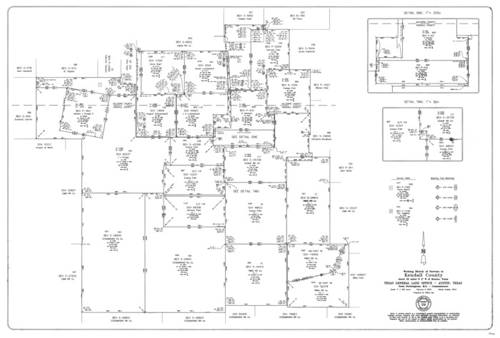
Kendall County Working Sketch 29
2025
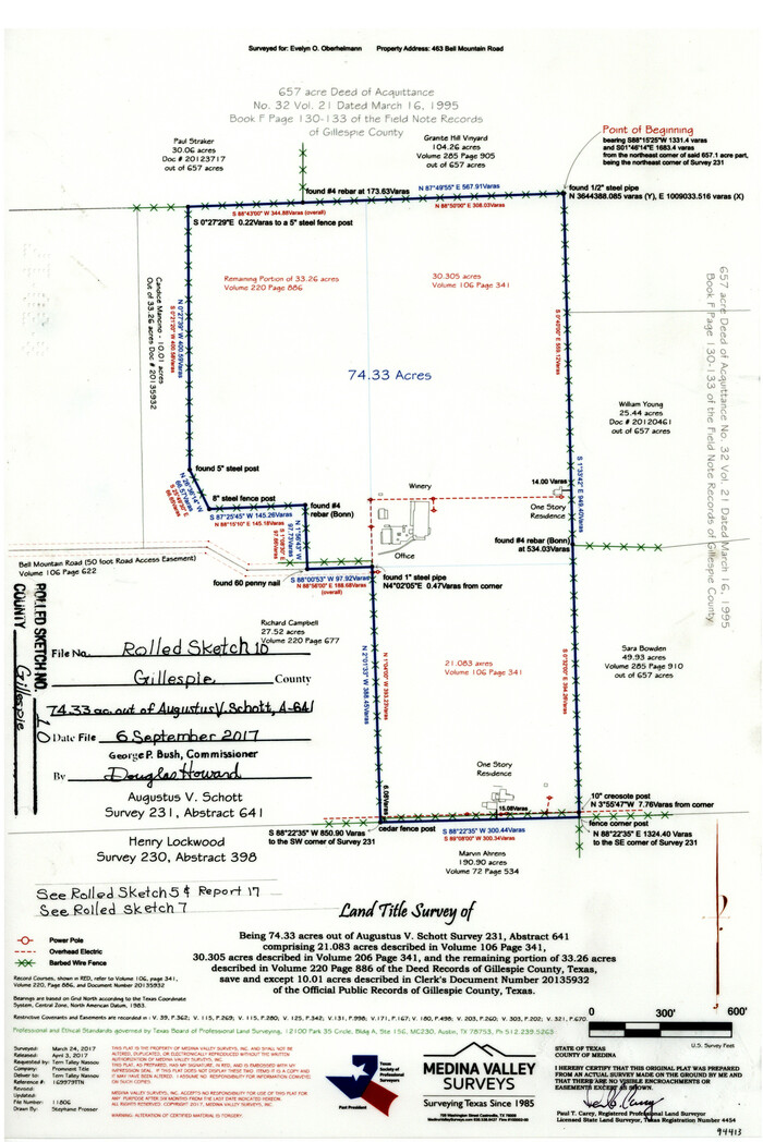
Gillespie County Rolled Sketch 10
2017
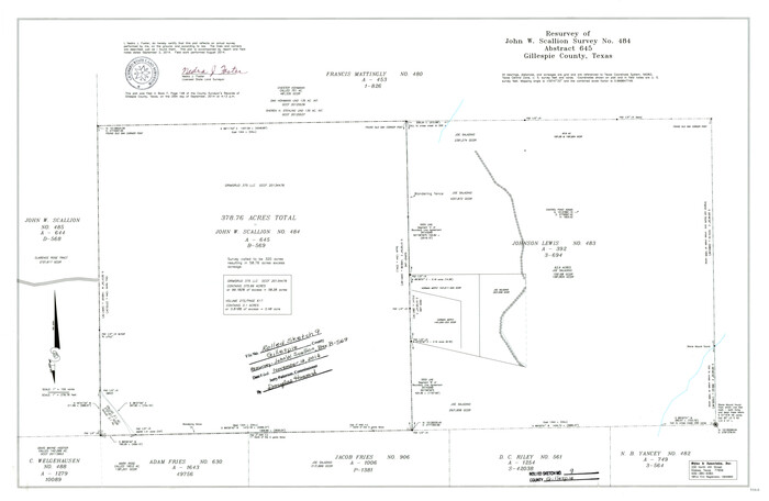
Gillespie County Rolled Sketch 9
2014

Gillespie County Working Sketch 14
2011

Gillespie County Rolled Sketch 7
2008

Gillespie County Rolled Sketch 8
2008
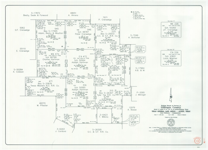
Gillespie County Working Sketch 13
2008
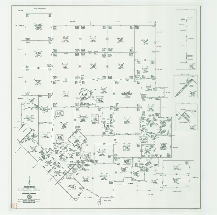
Gillespie County Working Sketch 12
2007
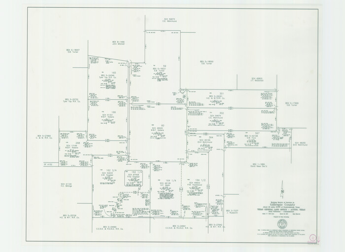
Gillespie County Working Sketch 11
2007
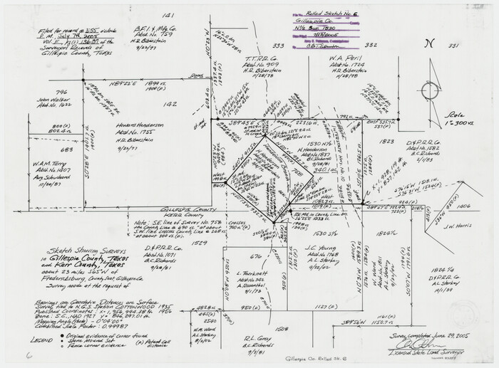
Gillespie County Rolled Sketch 6
2005
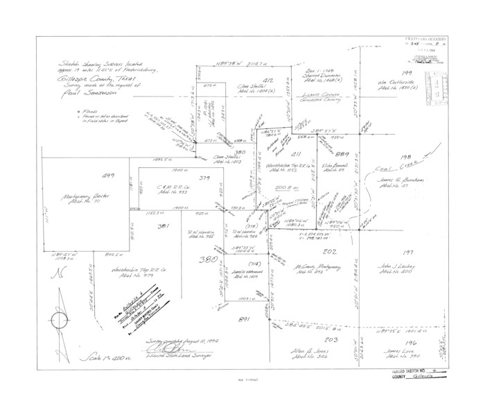
Gillespie County Rolled Sketch 4
1994

Gillespie County Sketch File 17
1994

Gillespie County Rolled Sketch 5
1994
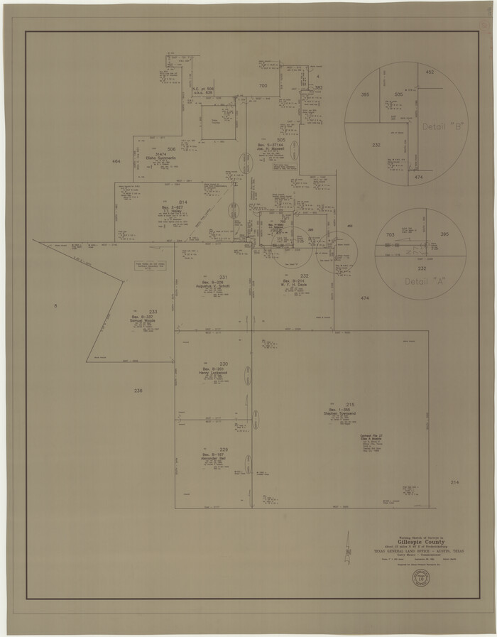
Gillespie County Working Sketch 10
1994

Kendall County Working Sketch 27
1994

Kendall County Working Sketch 27
1994
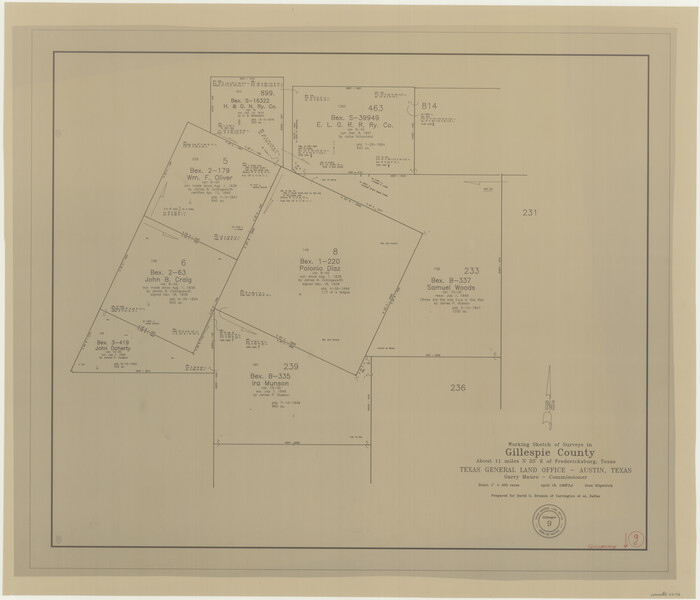
Gillespie County Working Sketch 9
1994
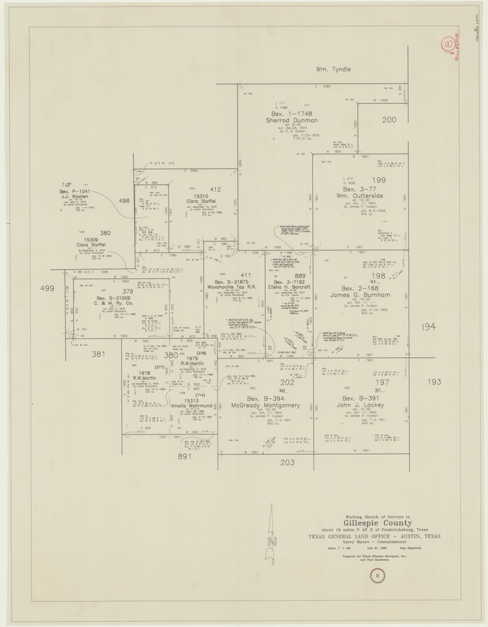
Gillespie County Working Sketch 8
1993

Gillespie County Working Sketch 7
1984
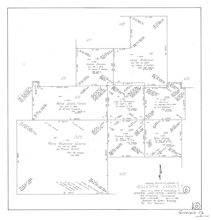
Gillespie County Working Sketch 6
1981

Gillespie County Rolled Sketch 2
1977

Gillespie County Working Sketch 5
1972

Gillespie County Working Sketch 4
1969
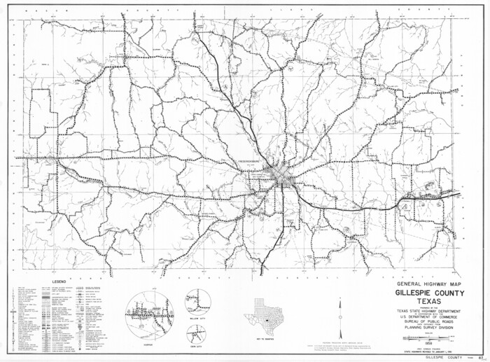
General Highway Map, Gillespie County, Texas
1961

Gillespie County Working Sketch 3
1960

Gillespie County Working Sketch 2
1958
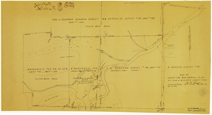
Gillespie County Rolled Sketch 1
1956
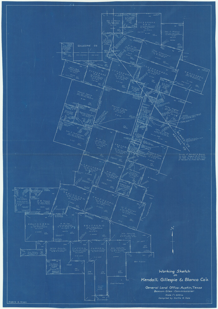
Kendall County Working Sketch 9
1953

Gillespie County Sketch File 16
1951

Kendall County Working Sketch 29
2025
-
Map/Doc
97408
-
Creation Date
2025

Gillespie County Rolled Sketch 10
2017
-
Size
16.1 x 10.7 inches
-
Map/Doc
94413
-
Creation Date
2017

Texas Hill Country Trail Region
2017
-
Size
18.2 x 24.3 inches
-
Map/Doc
96871
-
Creation Date
2017

Gillespie County Rolled Sketch 9
2014
-
Size
23.6 x 36.2 inches
-
Map/Doc
93713
-
Creation Date
2014

Gillespie County Working Sketch 14
2011
-
Size
36.6 x 36.6 inches
-
Map/Doc
90096
-
Creation Date
2011

Gillespie County Rolled Sketch 7
2008
-
Size
18.9 x 18.8 inches
-
Map/Doc
88818
-
Creation Date
2008

Gillespie County Rolled Sketch 8
2008
-
Size
20.2 x 19.1 inches
-
Map/Doc
89014
-
Creation Date
2008

Gillespie County Working Sketch 13
2008
-
Size
22.8 x 31.8 inches
-
Map/Doc
88831
-
Creation Date
2008

Gillespie County Working Sketch 12
2007
-
Size
37.6 x 38.0 inches
-
Map/Doc
87903
-
Creation Date
2007

Gillespie County Working Sketch 11
2007
-
Size
27.8 x 38.0 inches
-
Map/Doc
87212
-
Creation Date
2007

Gillespie County Rolled Sketch 6
2005
-
Size
18.2 x 24.6 inches
-
Map/Doc
83253
-
Creation Date
2005

Gillespie County Rolled Sketch 4
1994
-
Size
23.3 x 27.1 inches
-
Map/Doc
6011
-
Creation Date
1994

Gillespie County Sketch File 17
1994
-
Size
11.2 x 8.7 inches
-
Map/Doc
24157
-
Creation Date
1994

Gillespie County Rolled Sketch 5
1994
-
Size
25.7 x 20.6 inches
-
Map/Doc
6012
-
Creation Date
1994

Gillespie County Working Sketch 10
1994
-
Size
45.0 x 35.1 inches
-
Map/Doc
63173
-
Creation Date
1994

Kendall County Working Sketch 27
1994
-
Size
30.8 x 42.6 inches
-
Map/Doc
66699
-
Creation Date
1994

Kendall County Working Sketch 27
1994
-
Size
25.0 x 37.5 inches
-
Map/Doc
66700
-
Creation Date
1994

Gillespie County Working Sketch 9
1994
-
Size
27.7 x 32.3 inches
-
Map/Doc
63172
-
Creation Date
1994

Gillespie County Working Sketch 8
1993
-
Size
31.1 x 24.2 inches
-
Map/Doc
63171
-
Creation Date
1993

Gillespie County Working Sketch 7
1984
-
Size
57.5 x 43.2 inches
-
Map/Doc
63170
-
Creation Date
1984

Gillespie County Working Sketch 6
1981
-
Size
22.5 x 21.6 inches
-
Map/Doc
63169
-
Creation Date
1981

Gillespie County Rolled Sketch 2
1977
-
Size
22.8 x 22.7 inches
-
Map/Doc
6009
-
Creation Date
1977

Gillespie County Working Sketch 5
1972
-
Size
25.7 x 25.9 inches
-
Map/Doc
63168
-
Creation Date
1972

Gillespie County Working Sketch 4
1969
-
Size
32.5 x 35.3 inches
-
Map/Doc
63167
-
Creation Date
1969

General Highway Map, Gillespie County, Texas
1961
-
Size
18.1 x 24.5 inches
-
Map/Doc
79479
-
Creation Date
1961

Gillespie County Working Sketch 3
1960
-
Size
23.0 x 21.7 inches
-
Map/Doc
63166
-
Creation Date
1960

Gillespie County Working Sketch 2
1958
-
Size
35.9 x 26.0 inches
-
Map/Doc
63165
-
Creation Date
1958

Gillespie County Rolled Sketch 1
1956
-
Size
19.7 x 36.1 inches
-
Map/Doc
6008
-
Creation Date
1956

Kendall County Working Sketch 9
1953
-
Size
52.8 x 37.2 inches
-
Map/Doc
66681
-
Creation Date
1953

Gillespie County Sketch File 16
1951
-
Size
18.2 x 17.9 inches
-
Map/Doc
11557
-
Creation Date
1951