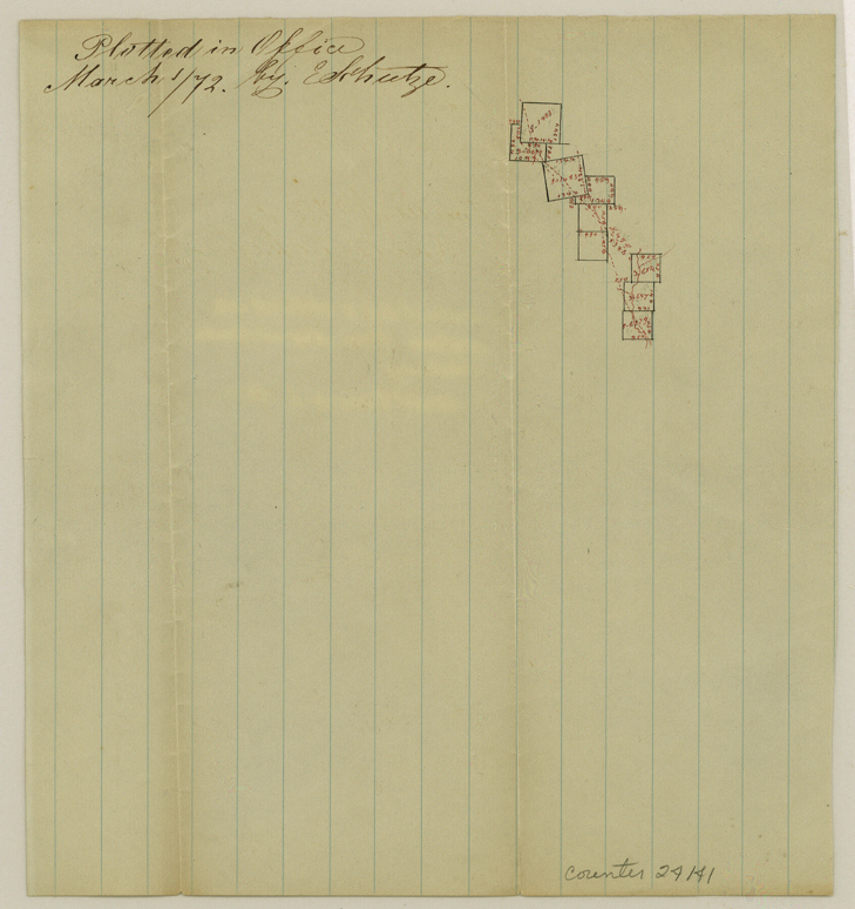
Gillespie County Sketch File 7
[Sketch of surveys northwest of Fredericksburg]
-
Map/Doc
24141
-
Collection
General Map Collection
-
Object Dates
1872/3/1 (Creation Date)
-
People and Organizations
E. Schutze (Draftsman)
-
Counties
Gillespie
-
Subjects
Surveying Sketch File
-
Height x Width
7.7 x 7.3 inches
19.6 x 18.5 cm
-
Medium
paper, manuscript
Part of: General Map Collection
Red River County

Print $20.00
- Digital $50.00
Red River County
1934
Size 46.0 x 39.2 inches
Map/Doc 73272
Flight Mission No. BRA-3M, Frame 129, Jefferson County

Print $20.00
- Digital $50.00
Flight Mission No. BRA-3M, Frame 129, Jefferson County
1953
Size 18.5 x 22.3 inches
Map/Doc 85403
Gregg County Sketch File 16

Print $6.00
- Digital $50.00
Gregg County Sketch File 16
1931
Size 17.0 x 11.0 inches
Map/Doc 24619
South Sulphur River, Harpers Crossing Sheet

Print $20.00
- Digital $50.00
South Sulphur River, Harpers Crossing Sheet
1925
Size 23.3 x 18.0 inches
Map/Doc 78328
Flight Mission No. BRA-6M, Frame 98, Jefferson County

Print $20.00
- Digital $50.00
Flight Mission No. BRA-6M, Frame 98, Jefferson County
1953
Size 18.5 x 22.2 inches
Map/Doc 85441
Haskell County Boundary File 4a

Print $62.00
- Digital $50.00
Haskell County Boundary File 4a
Size 9.0 x 4.5 inches
Map/Doc 54545
Travis County Rolled Sketch 36

Print $20.00
- Digital $50.00
Travis County Rolled Sketch 36
Size 33.9 x 24.5 inches
Map/Doc 8037
Presidio County Sketch File 28

Print $20.00
- Digital $50.00
Presidio County Sketch File 28
1890
Size 30.2 x 16.1 inches
Map/Doc 11709
Howard County Working Sketch 12

Print $20.00
- Digital $50.00
Howard County Working Sketch 12
1980
Size 39.2 x 37.0 inches
Map/Doc 66280
Concho County Working Sketch 10

Print $20.00
- Digital $50.00
Concho County Working Sketch 10
1951
Size 21.2 x 15.6 inches
Map/Doc 68192
Harrison County Working Sketch 22

Print $40.00
- Digital $50.00
Harrison County Working Sketch 22
1982
Size 54.2 x 37.0 inches
Map/Doc 66042
San Patricio County Rolled Sketch 20A

Print $20.00
- Digital $50.00
San Patricio County Rolled Sketch 20A
Size 25.9 x 30.3 inches
Map/Doc 7579
You may also like
Palo Pinto County Rolled Sketch 5

Print $40.00
- Digital $50.00
Palo Pinto County Rolled Sketch 5
1917
Size 53.8 x 35.8 inches
Map/Doc 76022
Map of Baffin & Alazan Bays, Cayo Infiernillo in Kenedy & Kleberg Counties Showing Subdivision for Mineral Development

Print $40.00
- Digital $50.00
Map of Baffin & Alazan Bays, Cayo Infiernillo in Kenedy & Kleberg Counties Showing Subdivision for Mineral Development
1949
Size 30.5 x 54.2 inches
Map/Doc 3017
Travis County Working Sketch 40

Print $20.00
- Digital $50.00
Travis County Working Sketch 40
1974
Size 31.7 x 32.1 inches
Map/Doc 69424
Coryell County Sketch File 14

Print $6.00
- Digital $50.00
Coryell County Sketch File 14
1873
Size 5.0 x 7.6 inches
Map/Doc 19368
Kerr County Working Sketch 31

Print $20.00
- Digital $50.00
Kerr County Working Sketch 31
1973
Size 43.6 x 29.0 inches
Map/Doc 70062
Fort Bend County Sketch File 18 1/2

Print $20.00
- Digital $50.00
Fort Bend County Sketch File 18 1/2
1896
Size 18.3 x 15.3 inches
Map/Doc 11508
Hunt County Working Sketch 2

Print $20.00
- Digital $50.00
Hunt County Working Sketch 2
Size 20.5 x 16.5 inches
Map/Doc 66349
Comal County Rolled Sketch 6

Print $4.00
- Digital $50.00
Comal County Rolled Sketch 6
1988
Size 25.0 x 19.1 inches
Map/Doc 5541
Harrison County State Real Property Sketch 1

Print $20.00
- Digital $50.00
Harrison County State Real Property Sketch 1
1986
Size 24.2 x 25.4 inches
Map/Doc 61666
United States - Gulf Coast - Galveston to Rio Grande

Print $20.00
- Digital $50.00
United States - Gulf Coast - Galveston to Rio Grande
1919
Size 26.9 x 18.2 inches
Map/Doc 72743
Lamb County Boundary File 1c

Print $32.00
- Digital $50.00
Lamb County Boundary File 1c
Size 11.0 x 8.7 inches
Map/Doc 56045
Flight Mission No. CRE-2R, Frame 172, Jackson County

Print $20.00
- Digital $50.00
Flight Mission No. CRE-2R, Frame 172, Jackson County
1956
Size 18.5 x 22.2 inches
Map/Doc 85382