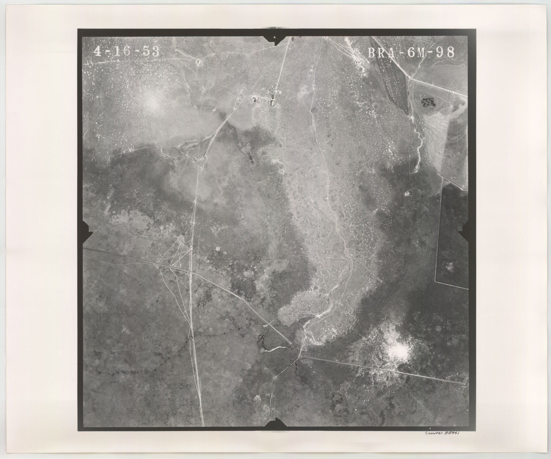
Flight Mission No. BRA-6M, Frame 98, Jefferson County
BRA-6M-98
-
Map/Doc
85441
-
Collection
General Map Collection
-
Object Dates
1953/4/16 (Creation Date)
-
People and Organizations
U. S. Department of Agriculture (Publisher)
-
Counties
Jefferson
-
Subjects
Aerial Photograph
-
Height x Width
18.5 x 22.2 inches
47.0 x 56.4 cm
-
Comments
Flown by Jack Ammann Photogrammetric Engineers of San Antonio, Texas.
Part of: General Map Collection
Van Zandt County

Print $20.00
- Digital $50.00
Van Zandt County
1972
Size 47.6 x 42.0 inches
Map/Doc 95662
Angelina County Sketch File 28

Print $22.00
- Digital $50.00
Angelina County Sketch File 28
1910
Size 15.7 x 12.0 inches
Map/Doc 13078
Terrell County Rolled Sketch 19

Print $20.00
- Digital $50.00
Terrell County Rolled Sketch 19
1884
Size 22.4 x 26.9 inches
Map/Doc 7927
Concho County Sketch File 5

Print $2.00
- Digital $50.00
Concho County Sketch File 5
1858
Size 8.1 x 7.4 inches
Map/Doc 82974
Hale County Sketch File 14

Print $8.00
- Digital $50.00
Hale County Sketch File 14
Size 14.1 x 8.7 inches
Map/Doc 24743
Hays County Sketch File 8

Print $4.00
- Digital $50.00
Hays County Sketch File 8
1848
Size 5.5 x 7.8 inches
Map/Doc 26210
Potter County Boundary File 2b

Print $10.00
- Digital $50.00
Potter County Boundary File 2b
Size 13.4 x 8.4 inches
Map/Doc 57969
Gillespie County

Print $40.00
- Digital $50.00
Gillespie County
1918
Size 39.6 x 49.5 inches
Map/Doc 66837
Le Nouveau Mexique et la Floride: Tirèes de diverses cartes, et relations

Print $20.00
- Digital $50.00
Le Nouveau Mexique et la Floride: Tirèes de diverses cartes, et relations
1656
Size 17.2 x 22.8 inches
Map/Doc 95833
Bexar County Boundary File 1

Print $26.00
- Digital $50.00
Bexar County Boundary File 1
Size 14.6 x 9.1 inches
Map/Doc 50505
Shelby County Sketch File 28

Print $4.00
- Digital $50.00
Shelby County Sketch File 28
Size 6.2 x 7.9 inches
Map/Doc 36664
Flight Mission No. DAG-23K, Frame 178, Matagorda County

Print $20.00
- Digital $50.00
Flight Mission No. DAG-23K, Frame 178, Matagorda County
1953
Size 18.8 x 22.5 inches
Map/Doc 86513
You may also like
Stephens County Sketch File 20

Print $20.00
- Digital $50.00
Stephens County Sketch File 20
Size 19.2 x 36.7 inches
Map/Doc 12350
Flight Mission No. CGI-3N, Frame 104, Cameron County

Print $20.00
- Digital $50.00
Flight Mission No. CGI-3N, Frame 104, Cameron County
1954
Size 18.6 x 22.3 inches
Map/Doc 84584
Flight Mission No. DQN-1K, Frame 28, Calhoun County

Print $20.00
- Digital $50.00
Flight Mission No. DQN-1K, Frame 28, Calhoun County
1953
Size 18.5 x 22.3 inches
Map/Doc 84133
Sketch of Surveys in Knox, Baylor, Haskell and Throckmorton Ctes

Print $40.00
- Digital $50.00
Sketch of Surveys in Knox, Baylor, Haskell and Throckmorton Ctes
1888
Size 43.3 x 58.5 inches
Map/Doc 4386
No. 3 Chart of Channel connecting Corpus Christi Bay with Aransas Bay, Texas

Print $20.00
- Digital $50.00
No. 3 Chart of Channel connecting Corpus Christi Bay with Aransas Bay, Texas
1878
Size 18.3 x 27.3 inches
Map/Doc 72781
Angelina County Working Sketch 46

Print $20.00
- Digital $50.00
Angelina County Working Sketch 46
1976
Size 31.2 x 31.3 inches
Map/Doc 67129
Bailey County Working Sketch 6

Print $20.00
- Digital $50.00
Bailey County Working Sketch 6
1966
Size 37.0 x 34.5 inches
Map/Doc 67593
Sterling County Rolled Sketch 11

Print $20.00
- Digital $50.00
Sterling County Rolled Sketch 11
1884
Size 22.5 x 46.6 inches
Map/Doc 9945
Flight Mission No. CRC-6R, Frame 35, Chambers County

Print $20.00
- Digital $50.00
Flight Mission No. CRC-6R, Frame 35, Chambers County
1956
Size 18.7 x 22.5 inches
Map/Doc 84968

Plat Showing Position of Hancock Tract and the City of Austin

Print $20.00
- Digital $50.00
Plat Showing Position of Hancock Tract and the City of Austin
Size 22.4 x 17.5 inches
Map/Doc 599
Rhoades Heights, North Part of West Half, Section 8, Block E

Print $20.00
- Digital $50.00
Rhoades Heights, North Part of West Half, Section 8, Block E
Size 29.2 x 13.5 inches
Map/Doc 92759