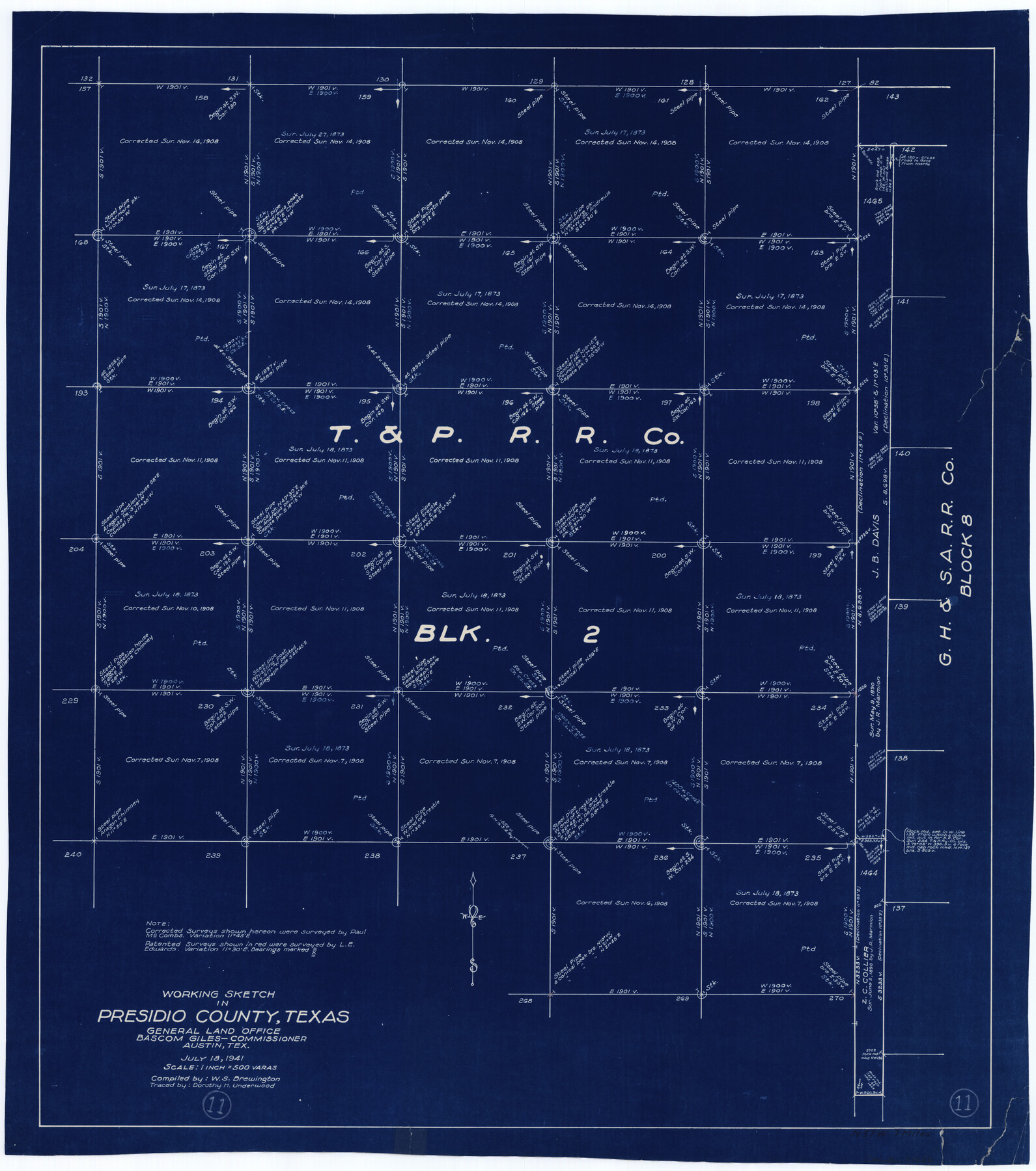
Presidio County Working Sketch 11
-
Map/Doc
71686
-
Collection
General Map Collection
-
Object Dates
7/18/1941 (Creation Date)
-
People and Organizations
W. S. Brewington (Compiler)
Dorothy H. Underwood (Tracer)
-
Counties
Presidio
-
Subjects
Surveying Working Sketch
-
Height x Width
29.2 x 25.8 inches
74.2 x 65.5 cm
-
Scale
1" = 500 varas
Part of: General Map Collection
Martin County Sketch File 13

Print $4.00
- Digital $50.00
Martin County Sketch File 13
1941
Size 14.2 x 9.1 inches
Map/Doc 30669
Oldham County Sketch File 11

Print $26.00
- Digital $50.00
Oldham County Sketch File 11
Size 13.0 x 8.5 inches
Map/Doc 33247
Comanche County Sketch File 14

Print $4.00
- Digital $50.00
Comanche County Sketch File 14
1859
Size 8.4 x 12.9 inches
Map/Doc 19078
Flight Mission No. BRE-2P, Frame 136, Nueces County

Print $20.00
- Digital $50.00
Flight Mission No. BRE-2P, Frame 136, Nueces County
1956
Size 18.5 x 22.6 inches
Map/Doc 86809
Map of Eastland County

Print $20.00
- Digital $50.00
Map of Eastland County
1877
Size 26.5 x 24.6 inches
Map/Doc 4535
[Map of Starr County]
![4049, [Map of Starr County], General Map Collection](https://historictexasmaps.com/wmedia_w700/maps/4049.tif.jpg)
Print $20.00
- Digital $50.00
[Map of Starr County]
Size 18.8 x 16.2 inches
Map/Doc 4049
Colorado River, Bull Creek Sheet[/Champion 125 Acre Tract]
![65323, Colorado River, Bull Creek Sheet[/Champion 125 Acre Tract], General Map Collection](https://historictexasmaps.com/wmedia_w700/maps/65323.tif.jpg)
Print $6.00
- Digital $50.00
Colorado River, Bull Creek Sheet[/Champion 125 Acre Tract]
1934
Size 19.3 x 32.0 inches
Map/Doc 65323
Texas, San Antonio Bay, Panther Point

Print $40.00
- Digital $50.00
Texas, San Antonio Bay, Panther Point
1934
Size 33.2 x 48.3 inches
Map/Doc 69995
PSL Field Notes for Blocks C38 and C39 in Dawson and Terry Counties, and Block C41 in Dawson, Lynn, and Terry Counties

PSL Field Notes for Blocks C38 and C39 in Dawson and Terry Counties, and Block C41 in Dawson, Lynn, and Terry Counties
Map/Doc 81650
Grimes County Working Sketch 18

Print $20.00
- Digital $50.00
Grimes County Working Sketch 18
1990
Size 33.1 x 42.5 inches
Map/Doc 63309
Roberts County Working Sketch 47

Print $20.00
- Digital $50.00
Roberts County Working Sketch 47
1996
Size 19.6 x 34.7 inches
Map/Doc 63573
Rains County Working Sketch 10

Print $20.00
- Digital $50.00
Rains County Working Sketch 10
1998
Size 36.1 x 34.7 inches
Map/Doc 71836
You may also like
Flight Mission No. CGI-2N, Frame 153, Cameron County

Print $20.00
- Digital $50.00
Flight Mission No. CGI-2N, Frame 153, Cameron County
1954
Size 18.8 x 22.3 inches
Map/Doc 84535
Uvalde County Boundary File 2

Print $5.00
- Digital $50.00
Uvalde County Boundary File 2
Size 13.1 x 9.5 inches
Map/Doc 59556
Flight Mission No. DAG-23K, Frame 150, Matagorda County

Print $20.00
- Digital $50.00
Flight Mission No. DAG-23K, Frame 150, Matagorda County
1953
Size 18.6 x 22.4 inches
Map/Doc 86498
[Drawings of individual counties for Pressler and Langermann's 1879 Map of Texas]
![[Drawings of individual counties for Pressler and Langermann's 1879 Map of Texas]](https://historictexasmaps.com/wmedia_w700/maps/4865.tif.jpg)
Print $20.00
- Digital $50.00
[Drawings of individual counties for Pressler and Langermann's 1879 Map of Texas]
1878
Size 27.3 x 38.1 inches
Map/Doc 4865

Flight Mission No. DQO-1K, Frame 91, Galveston County

Print $20.00
- Digital $50.00
Flight Mission No. DQO-1K, Frame 91, Galveston County
1952
Size 18.8 x 22.4 inches
Map/Doc 84987
Topographical Map of the City of Austin

Print $20.00
- Digital $50.00
Topographical Map of the City of Austin
1887
Size 43.1 x 41.1 inches
Map/Doc 2189
Amistad International Reservoir on Rio Grande 71

Print $20.00
- Digital $50.00
Amistad International Reservoir on Rio Grande 71
1949
Size 28.3 x 39.5 inches
Map/Doc 73358
Pecos County Working Sketch 118

Print $20.00
- Digital $50.00
Pecos County Working Sketch 118
1973
Size 46.2 x 36.9 inches
Map/Doc 71591
Ellis County Boundary File 3c

Print $130.00
- Digital $50.00
Ellis County Boundary File 3c
Size 10.9 x 8.7 inches
Map/Doc 52972
Hardin County Rolled Sketch 19

Print $20.00
- Digital $50.00
Hardin County Rolled Sketch 19
1953
Size 41.2 x 33.8 inches
Map/Doc 10677
Jefferson County NRC Article 33.136 Sketch 2

Print $20.00
- Digital $50.00
Jefferson County NRC Article 33.136 Sketch 2
2002
Size 24.3 x 35.9 inches
Map/Doc 77048