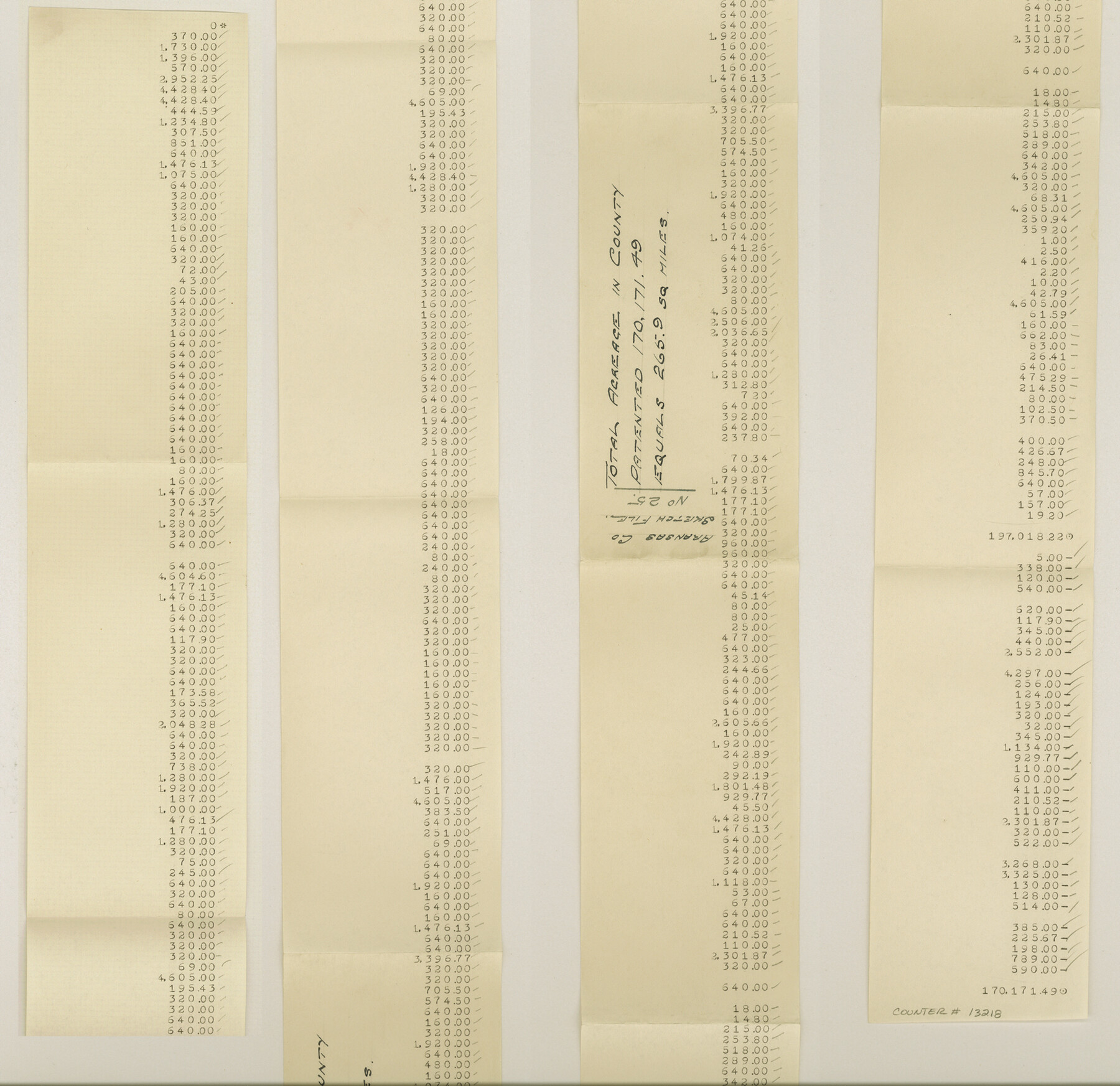
Aransas County Sketch File 25
[Calculation tape of total patented acreage in Aransas County]
-
Map/Doc
13218
-
Collection
General Map Collection
-
Counties
Aransas
-
Subjects
Surveying Sketch File
-
Height x Width
17.0 x 17.5 inches
43.2 x 44.5 cm
-
Medium
paper, print
-
Comments
Calculation tabulates 170,171.49 acres which equals 265.9 square miles.
Part of: General Map Collection
Lamar County State Real Property Sketch 1

Print $40.00
- Digital $50.00
Lamar County State Real Property Sketch 1
2013
Size 48.0 x 36.0 inches
Map/Doc 93655
Reeves County Rolled Sketch 18

Print $20.00
- Digital $50.00
Reeves County Rolled Sketch 18
1963
Size 23.4 x 27.4 inches
Map/Doc 7487
Matagorda Bay Oil Area, Matagorda, Calhoun & Jackson Cos.

Print $40.00
- Digital $50.00
Matagorda Bay Oil Area, Matagorda, Calhoun & Jackson Cos.
1927
Size 34.9 x 66.8 inches
Map/Doc 2934
Jefferson County Working Sketch 24

Print $20.00
- Digital $50.00
Jefferson County Working Sketch 24
1977
Size 28.4 x 44.5 inches
Map/Doc 66567
Traveller's Map of the State of Texas

Print $20.00
- Digital $50.00
Traveller's Map of the State of Texas
1867
Size 40.7 x 38.7 inches
Map/Doc 2130
Starr County Sketch File 46

Print $20.00
- Digital $50.00
Starr County Sketch File 46
1949
Size 23.3 x 26.6 inches
Map/Doc 12343
McClennan County

Print $20.00
- Digital $50.00
McClennan County
1880
Size 23.3 x 25.3 inches
Map/Doc 4597
Pecos County Sketch File 7

Print $20.00
- Digital $50.00
Pecos County Sketch File 7
Size 29.7 x 44.5 inches
Map/Doc 10568
Mason County Working Sketch 20

Print $20.00
- Digital $50.00
Mason County Working Sketch 20
1946
Size 34.6 x 43.9 inches
Map/Doc 70856
A Topographical Map of the City of Austin

Print $20.00
- Digital $50.00
A Topographical Map of the City of Austin
1872
Size 20.6 x 15.1 inches
Map/Doc 93685
No. 2 Chart of Corpus Christi Pass, Texas

Print $20.00
- Digital $50.00
No. 2 Chart of Corpus Christi Pass, Texas
1878
Size 18.3 x 27.4 inches
Map/Doc 73018
Starr County Working Sketch 11

Print $20.00
- Digital $50.00
Starr County Working Sketch 11
1944
Size 18.1 x 17.7 inches
Map/Doc 63927
You may also like
Llano County Working Sketch 4

Print $40.00
- Digital $50.00
Llano County Working Sketch 4
1954
Size 33.4 x 54.0 inches
Map/Doc 70622
Texas Intracoastal Waterway - Laguna Madre - Dagger Hill to Potrero Grande

Print $20.00
- Digital $50.00
Texas Intracoastal Waterway - Laguna Madre - Dagger Hill to Potrero Grande
1960
Size 38.7 x 27.2 inches
Map/Doc 73510
Northeast Part of Crockett County

Print $20.00
- Digital $50.00
Northeast Part of Crockett County
1976
Size 31.4 x 41.0 inches
Map/Doc 77253
Flight Mission No. BRA-7M, Frame 8, Jefferson County

Print $20.00
- Digital $50.00
Flight Mission No. BRA-7M, Frame 8, Jefferson County
1953
Size 18.6 x 22.4 inches
Map/Doc 85459
Lamar County Sketch File 15

Print $134.00
- Digital $50.00
Lamar County Sketch File 15
1989
Size 14.5 x 9.1 inches
Map/Doc 29310
Refugio County Working Sketch 11

Print $20.00
- Digital $50.00
Refugio County Working Sketch 11
1942
Size 40.9 x 38.3 inches
Map/Doc 63520
Hansford County Boundary File 3a

Print $80.00
- Digital $50.00
Hansford County Boundary File 3a
Size 15.3 x 64.7 inches
Map/Doc 54275
Val Verde County Working Sketch 48

Print $20.00
- Digital $50.00
Val Verde County Working Sketch 48
1949
Size 32.6 x 17.6 inches
Map/Doc 72183
McMullen County Sketch File 5

Print $4.00
- Digital $50.00
McMullen County Sketch File 5
1854
Size 8.7 x 8.3 inches
Map/Doc 31343
Hemphill County Rolled Sketch 18

Print $20.00
- Digital $50.00
Hemphill County Rolled Sketch 18
Size 23.6 x 35.0 inches
Map/Doc 6200
Montague County Boundary File 1

Print $32.00
- Digital $50.00
Montague County Boundary File 1
Size 12.8 x 8.1 inches
Map/Doc 57399
Coke County Working Sketch 22

Print $20.00
- Digital $50.00
Coke County Working Sketch 22
1949
Size 21.7 x 27.7 inches
Map/Doc 68059