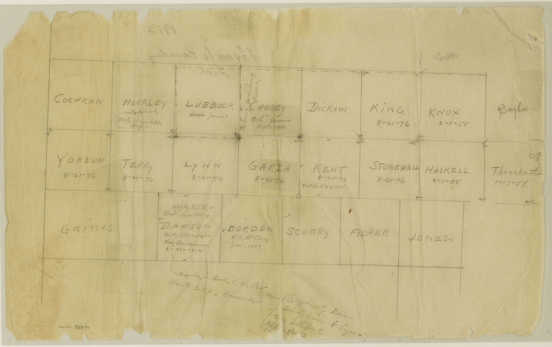
Lynn County Boundary File 14
[Sketches of County Boundary lines in Northwest Texas]
-
Map/Doc
56754
-
Collection
General Map Collection
-
Counties
Lynn
-
Subjects
County Boundaries
-
Height x Width
8.9 x 14.2 inches
22.6 x 36.1 cm
Part of: General Map Collection
McLennan County

Print $20.00
- Digital $50.00
McLennan County
1946
Size 42.5 x 45.8 inches
Map/Doc 73235
Liberty County Working Sketch Graphic Index - west part

Print $20.00
- Digital $50.00
Liberty County Working Sketch Graphic Index - west part
1977
Size 45.7 x 34.5 inches
Map/Doc 76619
Presidio County Boundary File 3b

Print $14.00
- Digital $50.00
Presidio County Boundary File 3b
Size 13.4 x 8.2 inches
Map/Doc 58076
Controlled Mosaic by Jack Amman Photogrammetric Engineers, Inc - Sheet 2

Print $20.00
- Digital $50.00
Controlled Mosaic by Jack Amman Photogrammetric Engineers, Inc - Sheet 2
1954
Size 20.0 x 24.0 inches
Map/Doc 83446
McMullen County Rolled Sketch 23

Print $20.00
- Digital $50.00
McMullen County Rolled Sketch 23
2020
Size 24.5 x 36.3 inches
Map/Doc 95949
Fractional Township No. 10 South Range No. 2 East of the Indian Meridian, Indian Territory

Print $20.00
- Digital $50.00
Fractional Township No. 10 South Range No. 2 East of the Indian Meridian, Indian Territory
1898
Size 19.2 x 24.4 inches
Map/Doc 75202
Colorado County Working Sketch 22

Print $20.00
- Digital $50.00
Colorado County Working Sketch 22
1964
Size 31.9 x 42.5 inches
Map/Doc 68122
Menard County Sketch File 20

Print $8.00
- Digital $50.00
Menard County Sketch File 20
1911
Size 14.2 x 8.7 inches
Map/Doc 31548
Smith County Rolled Sketch 6E1

Print $20.00
- Digital $50.00
Smith County Rolled Sketch 6E1
1966
Size 27.4 x 22.7 inches
Map/Doc 10612
Martin County Working Sketch 10

Print $40.00
- Digital $50.00
Martin County Working Sketch 10
1971
Size 50.0 x 37.4 inches
Map/Doc 70828
Pecos County Rolled Sketch 70A

Print $20.00
- Digital $50.00
Pecos County Rolled Sketch 70A
1929
Size 46.7 x 20.8 inches
Map/Doc 9709
Reeves County Sketch File 19

Print $9.00
- Digital $50.00
Reeves County Sketch File 19
1958
Size 11.3 x 8.9 inches
Map/Doc 35212
You may also like
[Sketch of surveys north of "Las Animas" grant, Webb County]
![668, [Sketch of surveys north of "Las Animas" grant, Webb County], Maddox Collection](https://historictexasmaps.com/wmedia_w700/maps/668.tif.jpg)
Print $3.00
- Digital $50.00
[Sketch of surveys north of "Las Animas" grant, Webb County]
1908
Size 16.9 x 10.7 inches
Map/Doc 668
Polk County Working Sketch 21

Print $20.00
- Digital $50.00
Polk County Working Sketch 21
1953
Size 22.6 x 24.2 inches
Map/Doc 71636
Southern Part of Laguna Madre

Print $20.00
- Digital $50.00
Southern Part of Laguna Madre
1985
Size 45.3 x 36.6 inches
Map/Doc 73547
Newton County Rolled Sketch 6

Print $20.00
- Digital $50.00
Newton County Rolled Sketch 6
Size 24.9 x 45.7 inches
Map/Doc 6842
[Sketch of Survey 9, Block Z3]
![93089, [Sketch of Survey 9, Block Z3], Twichell Survey Records](https://historictexasmaps.com/wmedia_w700/maps/93089-1.tif.jpg)
Print $2.00
- Digital $50.00
[Sketch of Survey 9, Block Z3]
Size 8.9 x 7.3 inches
Map/Doc 93089
Official Highway Map of Texas

Print $5.00
- Digital $50.00
Official Highway Map of Texas
1926
Size 25.0 x 30.1 inches
Map/Doc 93718
Terrell County Rolled Sketch 26

Print $20.00
- Digital $50.00
Terrell County Rolled Sketch 26
1914
Size 17.3 x 15.2 inches
Map/Doc 7933
Set of new maps of Austin's Colony by G. Borden, Jr.

Print $20.00
- Digital $50.00
Set of new maps of Austin's Colony by G. Borden, Jr.
1833
Size 25.0 x 17.0 inches
Map/Doc 131
Chambers County Working Sketch 4

Print $20.00
- Digital $50.00
Chambers County Working Sketch 4
1937
Size 34.0 x 31.4 inches
Map/Doc 67987
Upton County Sketch File 28

Print $5.00
- Digital $50.00
Upton County Sketch File 28
1929
Size 22.8 x 31.8 inches
Map/Doc 12521
Schleicher County Rolled Sketch 27

Print $20.00
- Digital $50.00
Schleicher County Rolled Sketch 27
Size 37.4 x 43.3 inches
Map/Doc 9909
Map of Matagorda & Carancahua Bays in Jackson, Calhoun & Matagorda Cos. showing subdivision thereof for mineral development

Print $20.00
- Digital $50.00
Map of Matagorda & Carancahua Bays in Jackson, Calhoun & Matagorda Cos. showing subdivision thereof for mineral development
1937
Size 26.4 x 37.1 inches
Map/Doc 2255