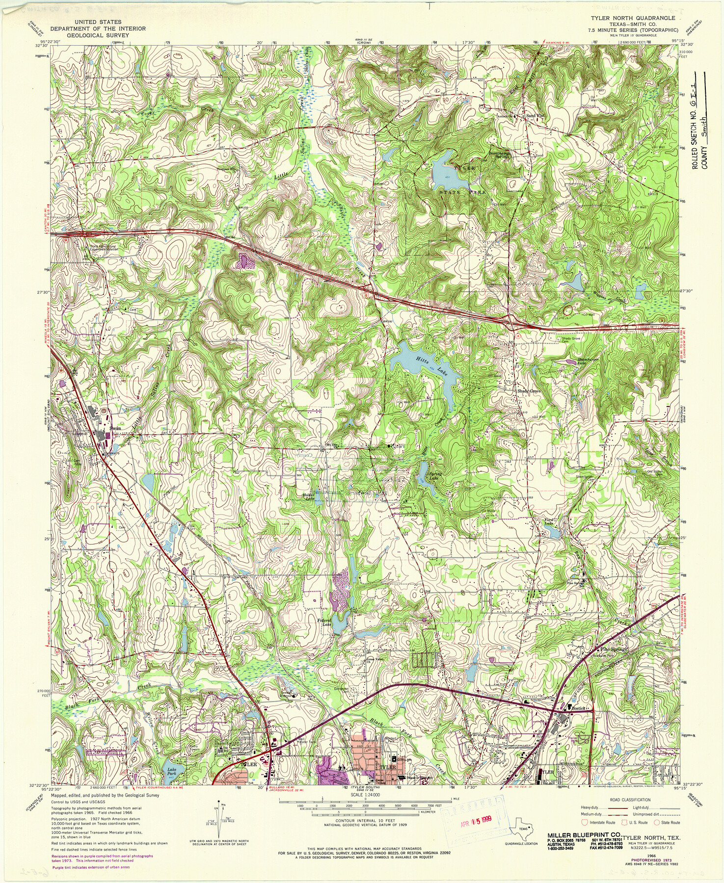
Smith County Rolled Sketch 6E1
Tyler North Quadrangle
-
Map/Doc
10612
-
Collection
General Map Collection
-
Object Dates
1966 (Creation Date)
1973 (Revision Date)
4/15/1999 (File Date)
-
People and Organizations
U.S. Geological Survey (Publisher)
-
Counties
Smith
-
Subjects
Surveying Rolled Sketch
-
Height x Width
27.4 x 22.7 inches
69.6 x 57.7 cm
-
Medium
paper, print
Part of: General Map Collection
Duval County Sketch File 57

Print $14.00
- Digital $50.00
Duval County Sketch File 57
1939
Size 14.2 x 8.9 inches
Map/Doc 21418
Coleman County Working Sketch 20

Print $20.00
- Digital $50.00
Coleman County Working Sketch 20
1953
Size 32.7 x 41.9 inches
Map/Doc 68086
Hutchinson County Sketch File 2

Print $8.00
- Digital $50.00
Hutchinson County Sketch File 2
1882
Size 14.2 x 8.7 inches
Map/Doc 27173
Duval County Working Sketch 32

Print $20.00
- Digital $50.00
Duval County Working Sketch 32
1950
Size 18.8 x 18.0 inches
Map/Doc 68756
Edwards County Working Sketch 130

Print $20.00
- Digital $50.00
Edwards County Working Sketch 130
1982
Size 29.3 x 26.8 inches
Map/Doc 69006

Hale County Sketch File 15

Print $20.00
- Digital $50.00
Hale County Sketch File 15
Size 22.7 x 18.6 inches
Map/Doc 11596
Flight Mission No. DIX-5P, Frame 148, Aransas County

Print $20.00
- Digital $50.00
Flight Mission No. DIX-5P, Frame 148, Aransas County
1956
Size 17.9 x 18.0 inches
Map/Doc 83810
Map of Stephens County

Print $20.00
- Digital $50.00
Map of Stephens County
1879
Size 24.0 x 19.6 inches
Map/Doc 4053
Brewster County Rolled Sketch 114

Print $20.00
- Digital $50.00
Brewster County Rolled Sketch 114
1964
Size 12.0 x 18.4 inches
Map/Doc 5278
Galveston County NRC Article 33.136 Sketch 70

Print $24.00
- Digital $50.00
Galveston County NRC Article 33.136 Sketch 70
2012
Size 24.0 x 24.3 inches
Map/Doc 95111
Clay County Sketch File 11

Print $4.00
- Digital $50.00
Clay County Sketch File 11
1870
Size 10.1 x 7.9 inches
Map/Doc 18408
You may also like
Henderson County Sketch File 7

Print $4.00
- Digital $50.00
Henderson County Sketch File 7
1854
Size 8.6 x 8.6 inches
Map/Doc 26329
Chambers County Sketch File 38

Print $20.00
- Digital $50.00
Chambers County Sketch File 38
Size 25.1 x 35.8 inches
Map/Doc 11068
Van Zandt County Working Sketch 19

Print $20.00
- Digital $50.00
Van Zandt County Working Sketch 19
Size 43.3 x 32.8 inches
Map/Doc 72269
Kent County Working Sketch 24

Print $20.00
- Digital $50.00
Kent County Working Sketch 24
1988
Size 30.5 x 21.2 inches
Map/Doc 70031
Cottle County Rolled Sketch 15

Print $20.00
- Digital $50.00
Cottle County Rolled Sketch 15
2004
Size 37.2 x 37.2 inches
Map/Doc 82849
Wheeler County

Print $20.00
- Digital $50.00
Wheeler County
1899
Size 42.2 x 37.9 inches
Map/Doc 95672
Pecos County Rolled Sketch 54

Print $11.00
- Digital $50.00
Pecos County Rolled Sketch 54
1916
Size 9.7 x 15.0 inches
Map/Doc 48099
Leon County Rolled Sketch 34

Print $20.00
- Digital $50.00
Leon County Rolled Sketch 34
1999
Size 31.8 x 37.1 inches
Map/Doc 87502
Nacogdoches County Rolled Sketch 2

Print $20.00
- Digital $50.00
Nacogdoches County Rolled Sketch 2
1949
Size 44.3 x 42.3 inches
Map/Doc 46837
Map of Hunt Co.

Print $40.00
- Digital $50.00
Map of Hunt Co.
1894
Size 49.7 x 30.0 inches
Map/Doc 16855
Edwards County Working Sketch 120

Print $40.00
- Digital $50.00
Edwards County Working Sketch 120
1975
Size 25.0 x 48.9 inches
Map/Doc 68996
Flight Mission No. CLL-1N, Frame 87, Willacy County

Print $20.00
- Digital $50.00
Flight Mission No. CLL-1N, Frame 87, Willacy County
1954
Size 18.3 x 22.0 inches
Map/Doc 87033